- Brief description
-
Rarely done, quiet, only in the lower part marked alpine pasture and summit tour with some further variation possibilities.
- Difficulty
-
medium
- Rating
-
- Starting point
-
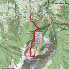
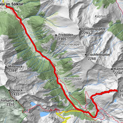
St. Nikolai - Fleiß - Spießschwaiger
- Route
-
Gaßeneck (2,111 m)4.8 km
- Best season
-
AugSepOctNovDecJanFebMarAprMayJunJul
- Description
-
Starting from the Spießschweiger organic farm, you follow the markings on this ski tour in the direction of Hangofen or the forest path. At the third hairpin bend, you turn in a southeasterly direction to get to the upper Ploeschmitzalm on the left side of the stream. From there you climb the Gasseneck via the alpine pasture and the sparse forest above. Please note the wildlife sanctuary zones.
- Directions
-
Ascent: Parking is possible at the Spießschweiger farm. Above the farm, head northeast, then follow the markings towards Hangofen or along the forest road. At the 3rd bend continue southeast on the orographic left side of the stream to the Obere Plöschmitzalm. Across the alpine pasture through the sparse forest stand. After the forest crossing the stream until you reach the Gaßeneck further in an easterly direction.
Descent: Same as ascent. Downhill times are not given, as these depend heavily on the abilities of the individual skier.
- Highest point
- 2,074 m
- Endpoint
-
St. Nikolai - Fleiß - Spießschwaiger
- Exposition
- Height profile
-

- Equipment
-
Avalanche beacon, probe and shovel are essential in open terrain.
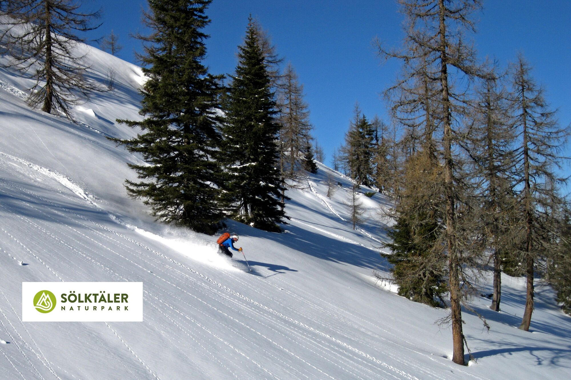
Ski touring equipment consisting of skis/splitboard, skins, poles and possibly crampons.
Food, warm drinks, spare clothing and a first aid kit.
Choose your clothing according to the onion layer principle.
Maps and/or tour descriptions. GPX tracks on your mobile phone or GPS device are also helpful.
You can rent ski touring and safety equipment from Sport 2000 Mandl in Gröbming - Safety instructions
-
Mountain sports and the assessment of the situation on site is your own responsibility. Tourism organisations or avalanche warning services do not accept any liability based on the information provided.
Check the weather and avalanche situation the evening before every ski tour at www.lawine-steiermark.at, avalanche mobile phone: +43 664 8105928 Don't go on a ski tour alone. It's more fun together anyway! Always behave in a risk-aware manner and react to danger signs! Observe existing regulations, e.g. hunting and wildlife protection areas, reforestation or young growth areas. You should always have a fully charged mobile phone with you. Have you also saved the emergency numbers?
Mountain rescue: 140. If you have no signal, take out the SIM card and dial 112. - Additional information
- Directions
- Public transportation
- Author
-
The tour Gasseneck 2.111 m is used by outdooractive.com provided.