- Brief description
-
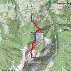
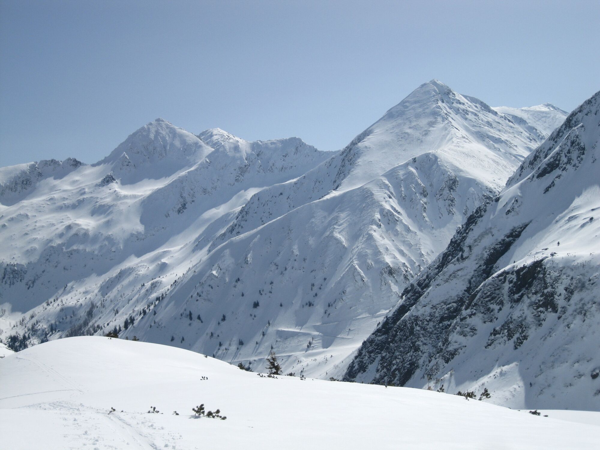
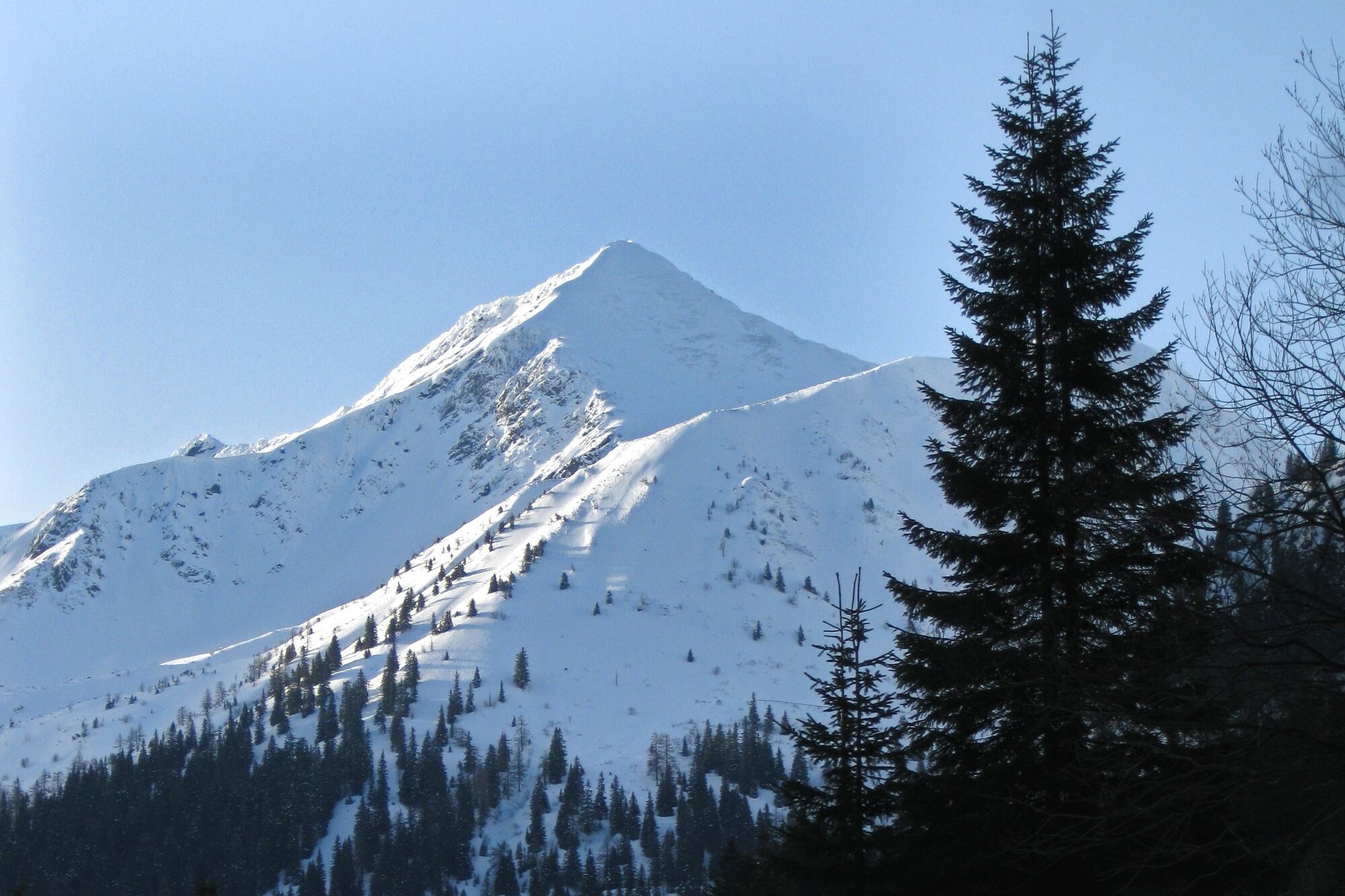
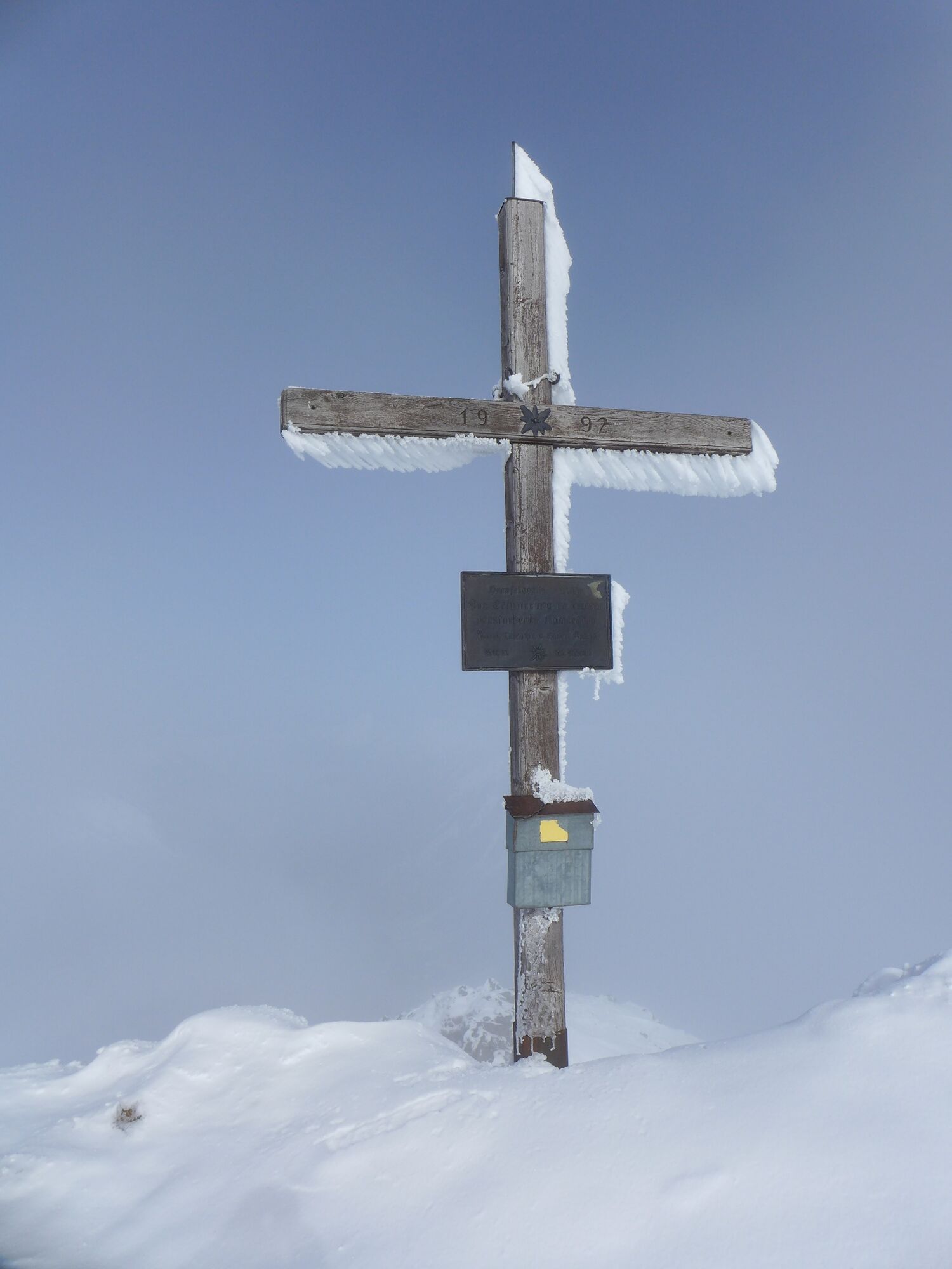
The summit of Hornfeldspitz stands like a horn above the end of the Großsölktal valley. Among ski touring enthusiasts, it is rather one of the insider tips in the area of the Sölk Pass.
- Difficulty
-
difficult
- Rating
-
- Starting point
-
St. Nikolai in the Sölktal
- Route
-
Sankt Nikolai im SölktalErzherzog-Johann-Hütte6.0 kmHornfeldspitz (2,277 m)8.6 kmErzherzog-Johann-Hütte11.1 kmSankt Nikolai im Sölktal17.1 km
- Best season
-
AugSepOctNovDecJanFebMarAprMayJunJul
- Description
-
Passing the Erzherzog-Johann-Hütte, this ski tour leads along a forest path and at the beginning of a flat area to the right over a steep ridge in the direction of Schwarzenbach. From there it goes in a westerly direction to the east ridge of the Hornfeldspitze and along the ridge to the summit. Please note the wildlife sanctuary zones
- Directions
-
Ascent: At the access road Erzherzog-Johann-Hütte turn right along the forest path. At the beginning of the flat ground, turn right southwards over a steeper ridge towards Schwarzenbach. From Schwarzenbach in western direction to the east ridge of Hornfeldspitz. Along the ridge to the summit.
Descent: same as ascent
- Highest point
- 2,226 m
- Endpoint
-
St. Nikolai in the Sölktal
- Exposition
- Height profile
-

- Equipment
-
Avalanche beacon, probe and shovel are essential in open terrain.
Ski touring equipment consisting of skis/splitboard, skins, poles and possibly crampons.
Food, warm drinks, spare clothing and a first aid kit.
Choose your clothing according to the onion layer principle.
Maps and/or tour descriptions. GPX tracks on your mobile phone or GPS device are also helpful.
You can rent ski touring and safety equipment from Sport 2000 Mandl in Gröbming - Safety instructions
-
Mountain sports and the assessment of the situation on site is your own responsibility. Tourism organisations or avalanche warning services do not accept any liability based on the information provided.
Check the weather and avalanche situation the evening before every ski tour at www.lawine-steiermark.at, avalanche mobile phone: +43 664 8105928 Don't go on a ski tour alone. It's more fun together anyway! Always behave in a risk-aware manner and react to danger signs! Observe existing regulations, e.g. hunting and wildlife protection areas, reforestation or young growth areas. You should always have a fully charged mobile phone with you. Have you also saved the emergency numbers?
Mountain rescue: 140. If you have no signal, take out the SIM card and dial 112. - Additional information
- Directions
- Public transportation
- Parking
-
St. Nikolai Centre


- Author
-
The tour Hornfeldspitze 2.277 m is used by outdooractive.com provided.