- Brief description
-
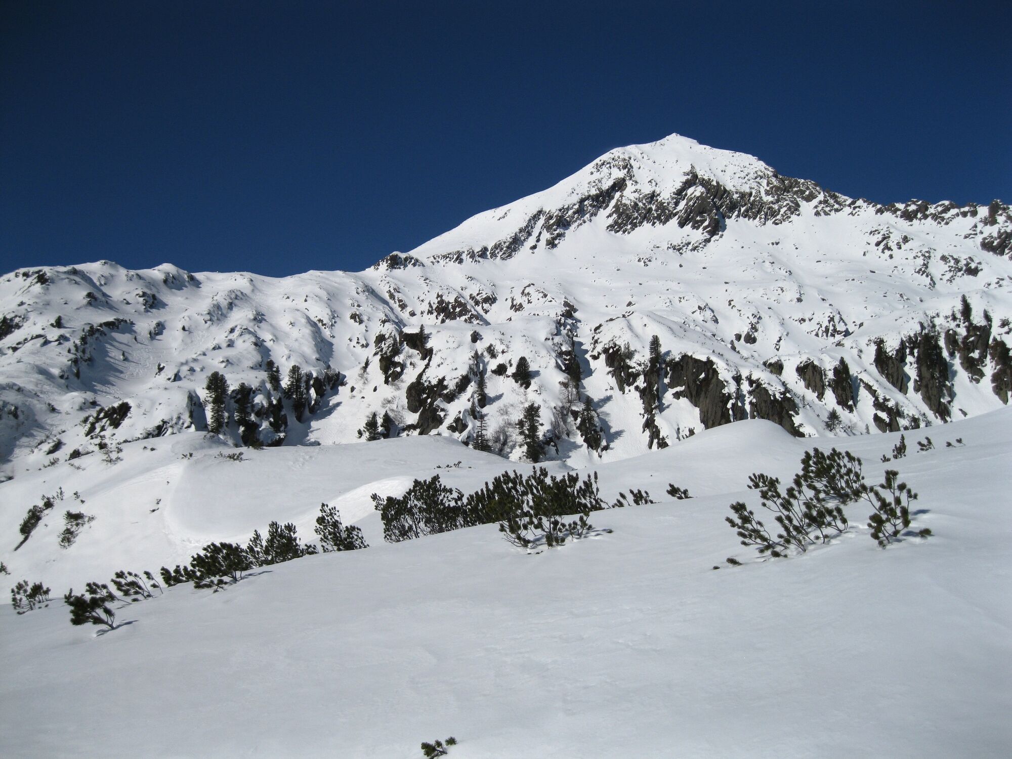
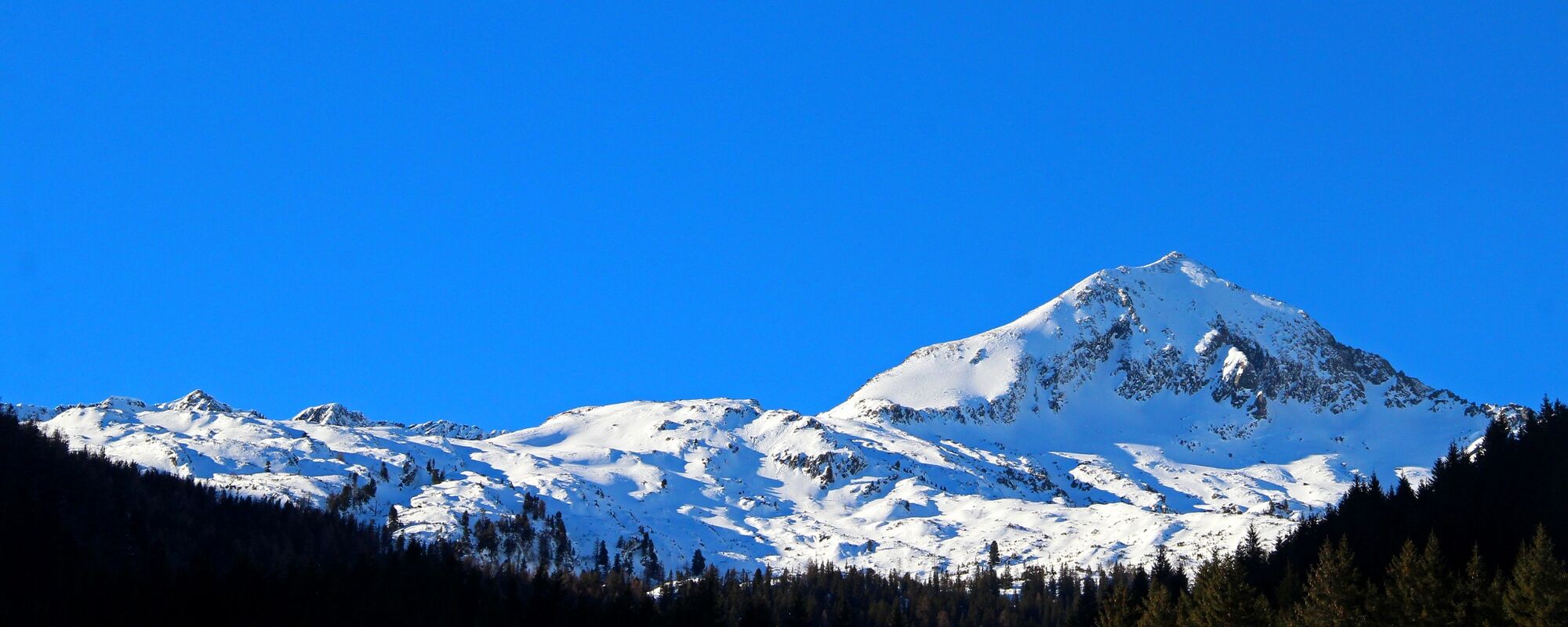
A more demanding tour with a wonderful panoramic view
- Difficulty
-
difficult
- Rating
-
- Starting point
-
Car park St. Nikolai
- Route
-
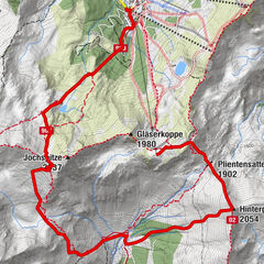
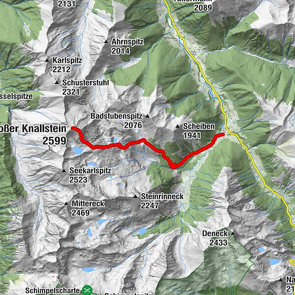
Sankt Nikolai im SölktalGroßer Knallstein (2,599 m)7.5 kmSankt Nikolai im Sölktal15.0 km
- Best season
-
AugSepOctNovDecJanFebMarAprMayJunJul
- Description
-
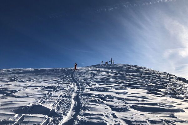
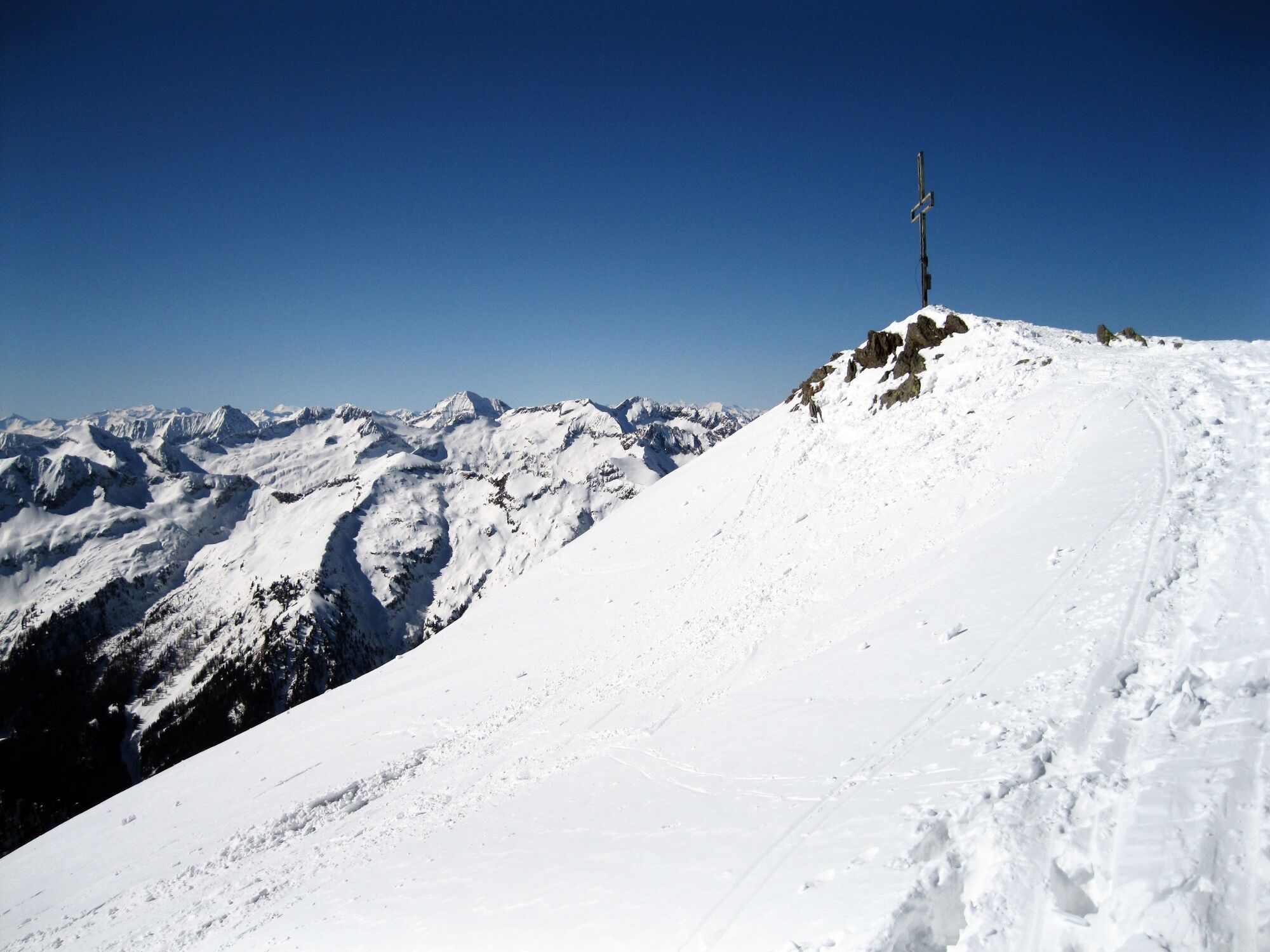
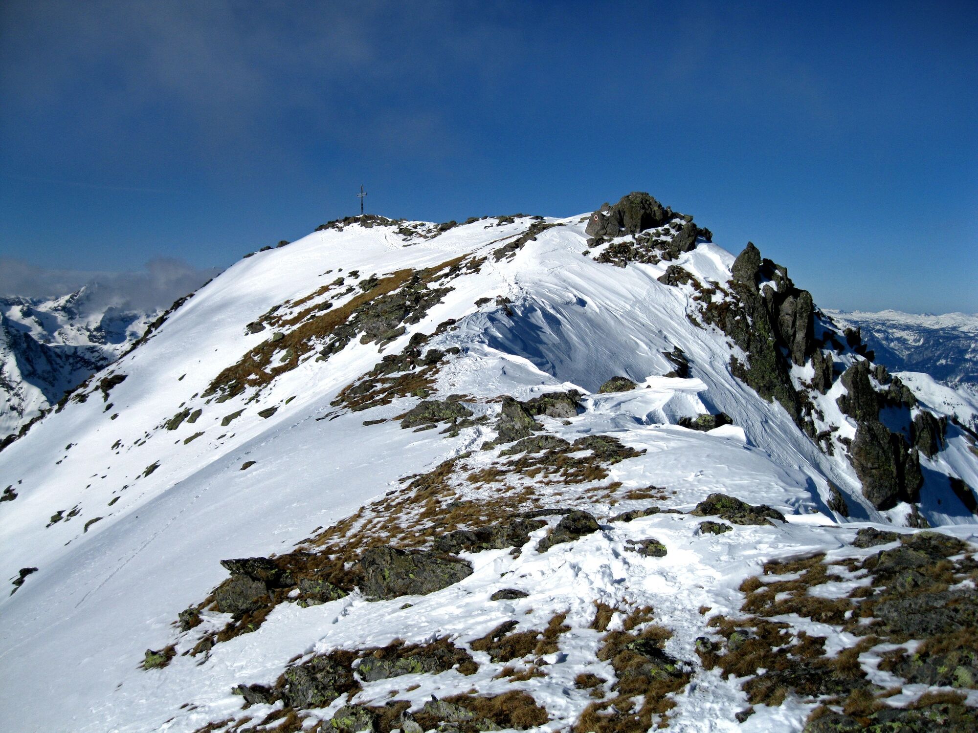
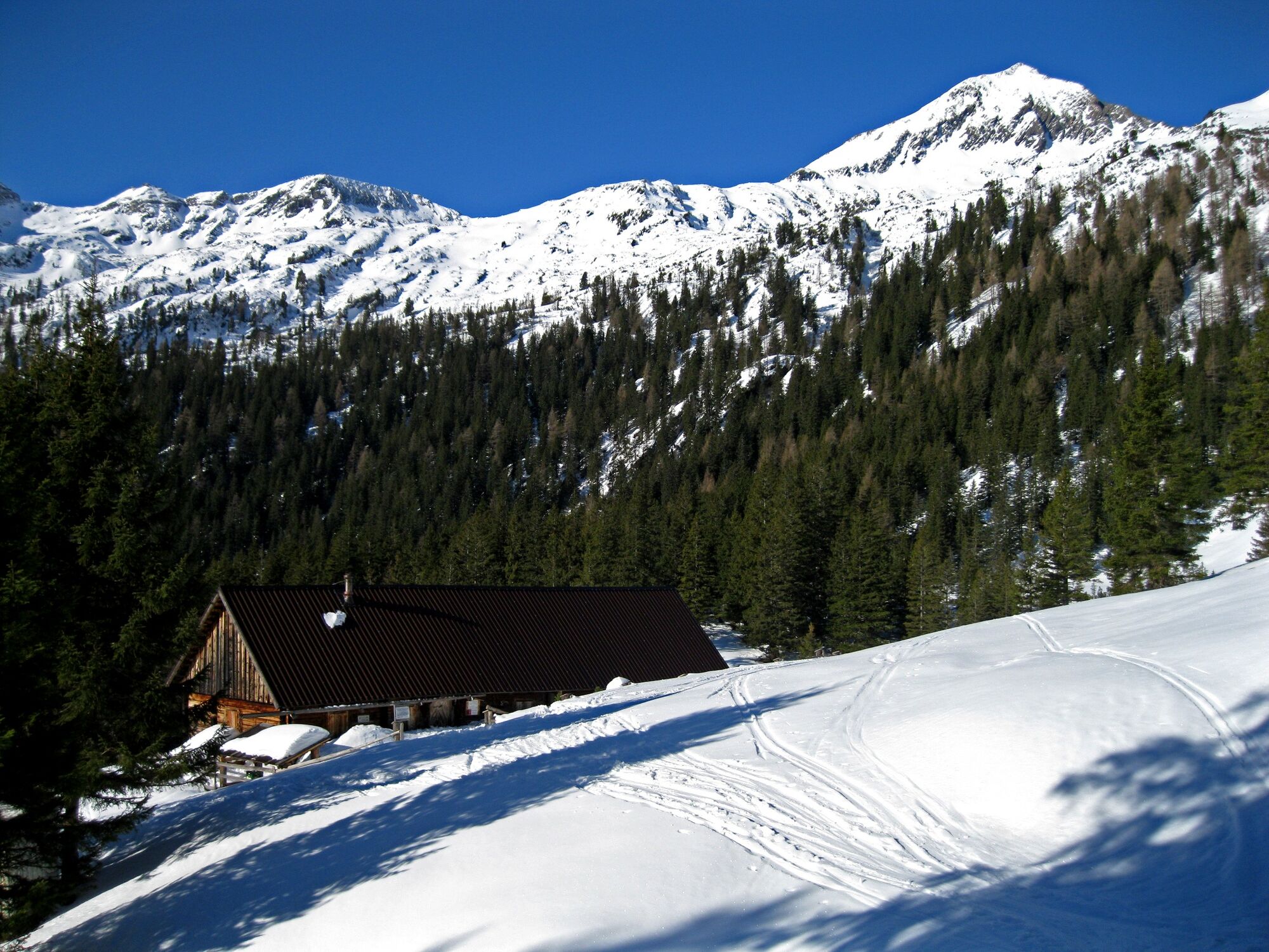
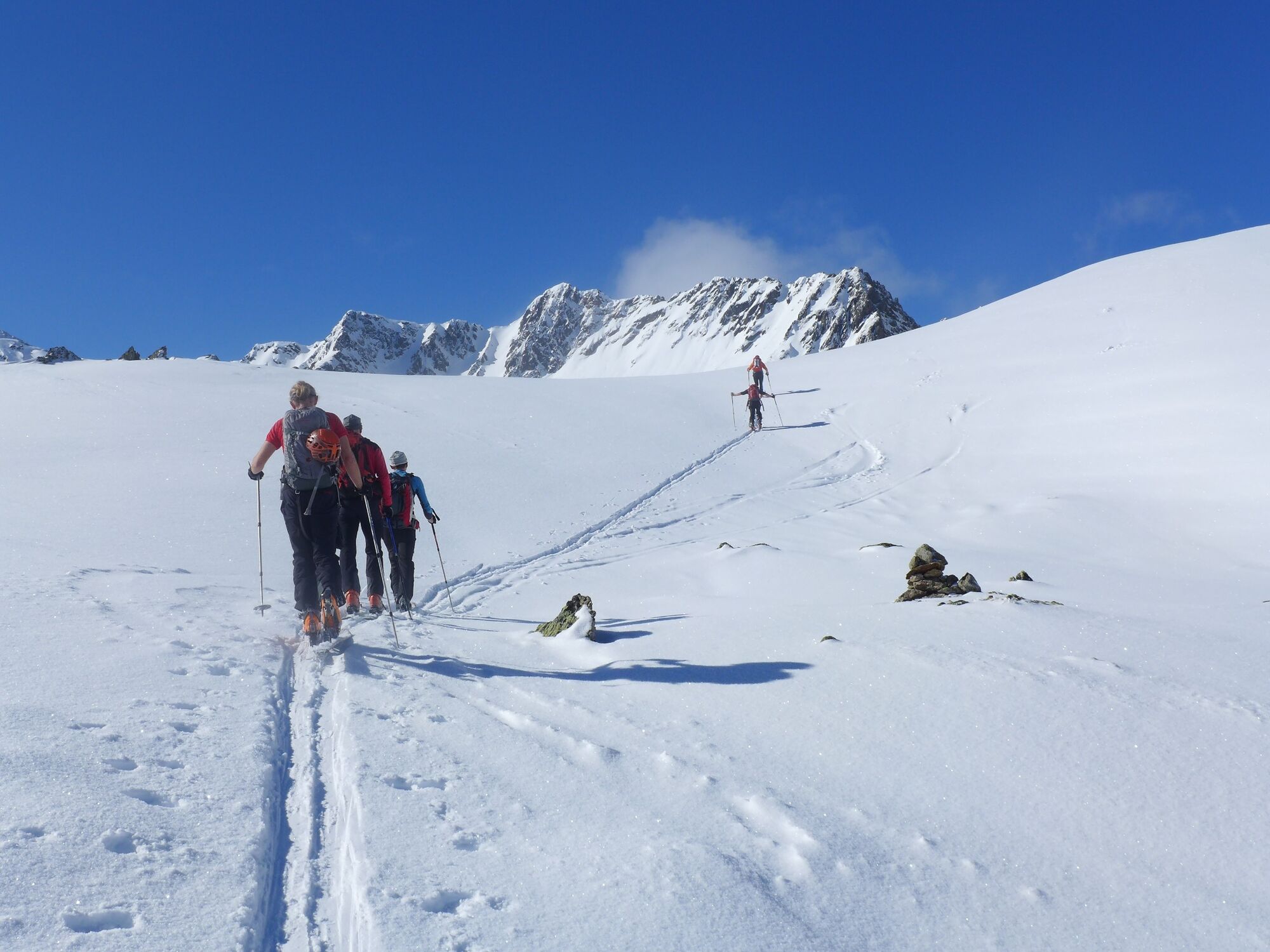
High up - at almost 2,600 meters above sea level - this tour takes you to the Großer Knallstein. Passing the "Zum Gamsjäger" inn, cross the Bräualmbach bridge on the right and follow the forest path in the direction of the Kaltherberghütte. There you turn west, hike past the Klafterseen and over the steep ridge up to the summit. Please note the wildlife sanctuary zones.
- Directions
-
Ascent: From St. Nikolai past the inn "Gamsjäger" towards Bräualm, turn right onto the bridge over the Bräualmbach and continue along the forest path towards Kaltherberghütte. Follow the signposted route (bypass deer feeding) and turn west after the Kaltherberghütte, past Klafterseen to the south and over the steep ridge to the summit.
Descent: the same as ascent. - Highest point
- 2,576 m
- Endpoint
-
Car park St. Nikolai
- Exposition
- Height profile
-

- Equipment
-
Avalanche beacon, probe and shovel are essential in open terrain.
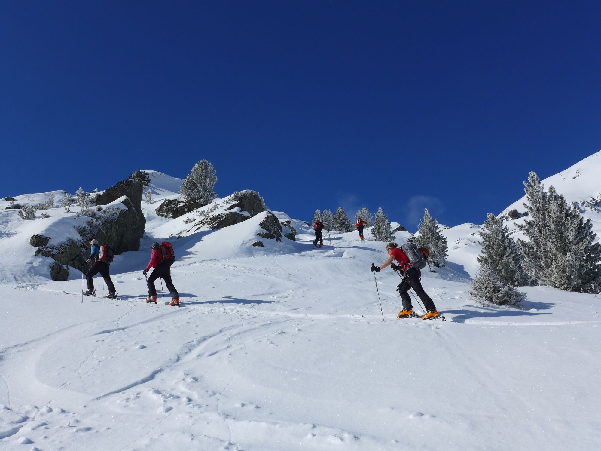
Ski touring equipment consisting of skis/splitboard, skins, poles and possibly crampons.
Food, warm drinks, spare clothing and a first aid kit.
Choose your clothing according to the onion layer principle.
Maps and/or tour descriptions. GPX tracks on your mobile phone or GPS device are also helpful.
You can rent ski touring and safety equipment from Sport 2000 Mandl in Gröbming - Safety instructions
-
Mountain sports and the assessment of the situation on site is your own responsibility. Tourism organisations or avalanche warning services do not accept any liability based on the information provided.
Check the weather and avalanche situation the evening before every ski tour at www.lawine-steiermark.at, avalanche mobile phone: +43 664 8105928 Don't go on a ski tour alone. It's more fun together anyway! Always behave in a risk-aware manner and react to danger signs! Observe existing regulations, e.g. hunting and wildlife protection areas, reforestation or young growth areas. You should always have a fully charged mobile phone with you. Have you also saved the emergency numbers?
Mountain rescue: 140. If you have no signal, take out the SIM card and dial 112. - Additional information
- Directions
- Public transportation
- Parking
-
Parking Lot at the beginning of the village.
- Author
-
The tour Großer Knallstein 2.599 m is used by outdooractive.com provided.