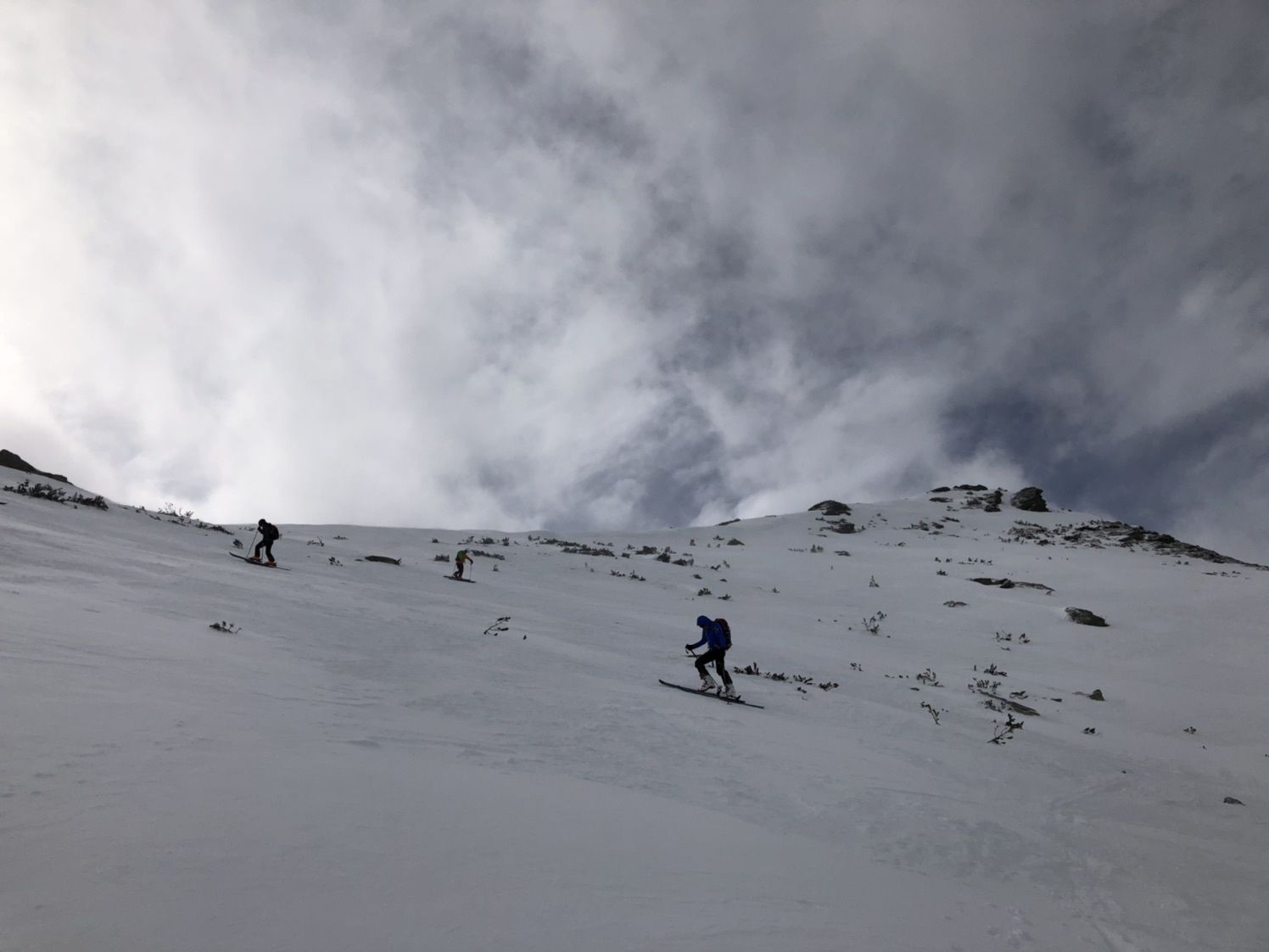
© Gabriele Rastinger

© Gabriele Rastinger

© Gabriele Rastinger
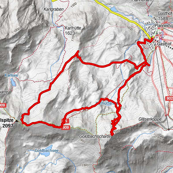
Tour data
8.21km
1,590
- 2,060m
616hm
628hm
02:51h
- Brief description
-
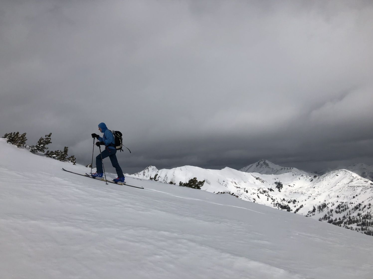
Zwei Gipfel-Tour in der Planneralm/Plannerkessel - ohne Liftunterstützung.
- Difficulty
-
medium
- Rating
-
- Route
-
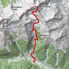
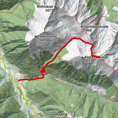
Jochspitze (2,037 m)2.7 kmKarlspitze (2,097 m)5.2 km
- Best season
-
AugSepOctNovDecJanFebMarAprMayJunJul
- Highest point
- Karlspitze (2,060 m)
- Rest/Retreat
-
Gasthof Gstemmerblick
Ewis Hütte
Dornbuschhütte
Lackner KG Planneralm - Ticket material
-
WK 203 Wölzer Tauern – Sölktal – Rottenmanner Tauern, Wanderkarte 1:50.000
GPS Downloads


Other tours in the regions