- Brief description
-
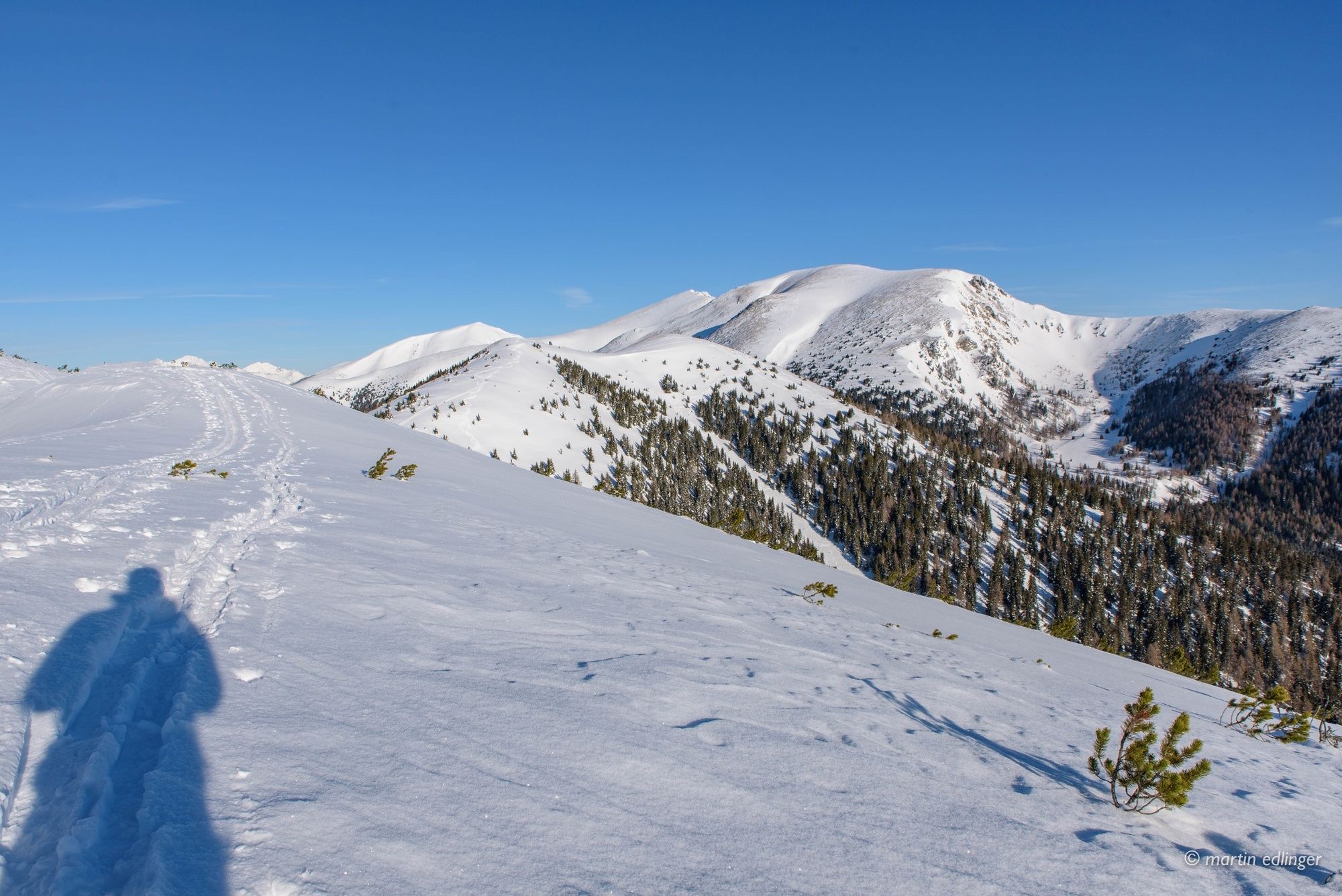
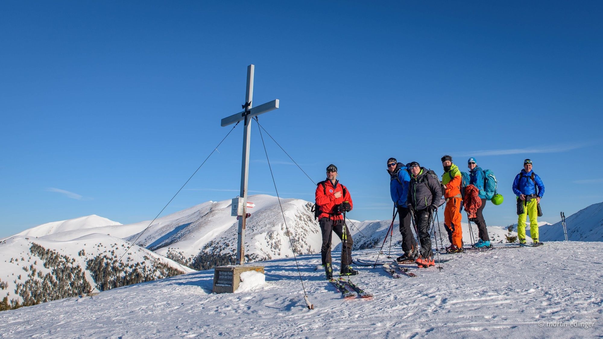
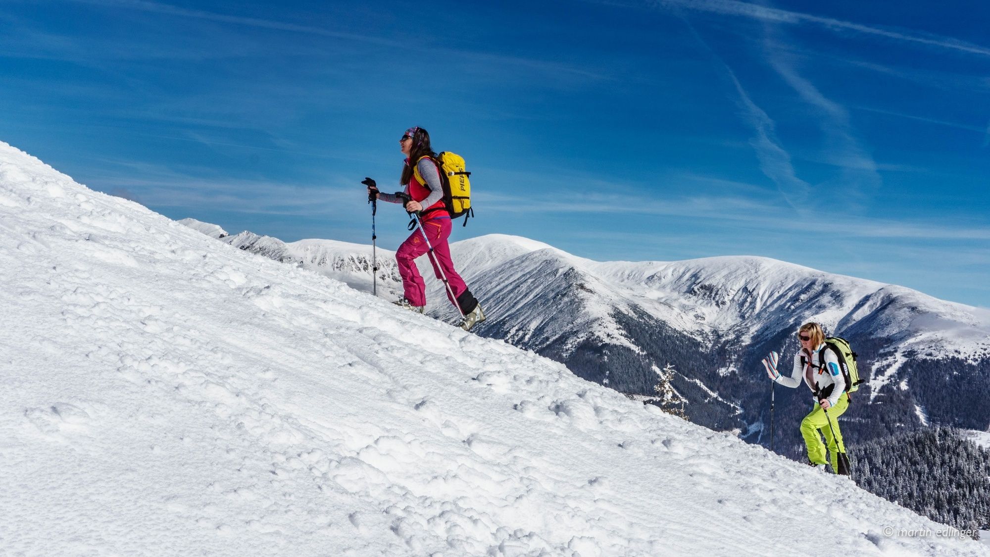
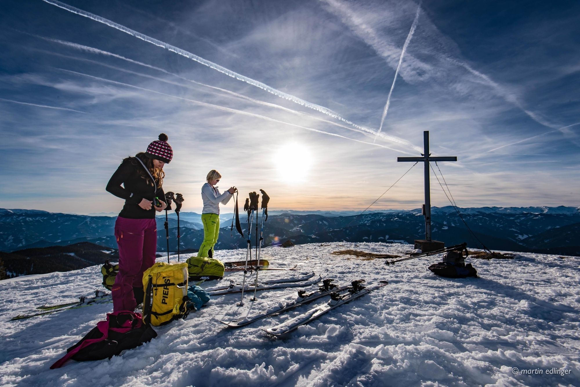
One of the most popular, easy and very frequently used ski tours in the Murtal adventure region. Due to the wooded area and the possibility to use relatively flat terrain areas, the Rosenkogel is well doable even in bad weather or poor snow conditions. Great view mountain.
Note the winter closure of Sommerthörl!
- Difficulty
-
easy
- Rating
-
- Starting point
-
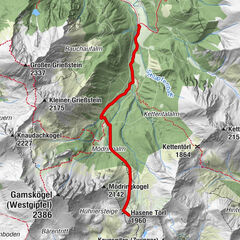
Roßbach, Lanzalm or winter driving ban 1254 m
- Route
-
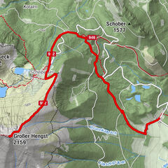
Rosenkogel (1,918 m)4.1 kmSommertörl (1,644 m)5.8 kmSommerthörl (1,644 m)5.8 km
- Best season
-
AugSepOctNovDecJanFebMarAprMayJunJul
- Description
-
With 670 Hm a, also for beginners feasible ski tour in the adventure region Murtal. The terrain is quite easy and offers many possibilities. Beginners can ski the technically simple forest trail, for more experienced tourers there are several options to get to the desired downhill enjoyment. The tour on the Rosenkogel is also very good and easy to extend, Schneegrube or Schöntal would be good options. Both require a short counter ascent.
Note the winter closure of Sommerthörl!
- Directions
-
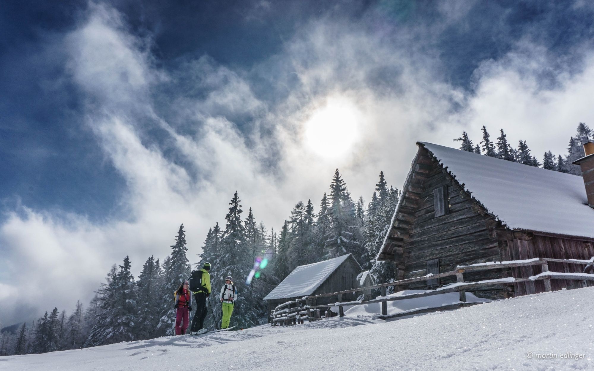
Ascent: Follow the road towards Sommertörl as far as the first bend. Continue on the left side of the stream via an old Karenweg. Pass the Sommerhütte on the Sommertörl. Cross the open area in a northerly direction and over the wooded ridge to the Rosenkogel.
Descents: Via the eastern slope towards the Loretotto chapel and via the path back to the Sommertörl, then continue as for the ascents
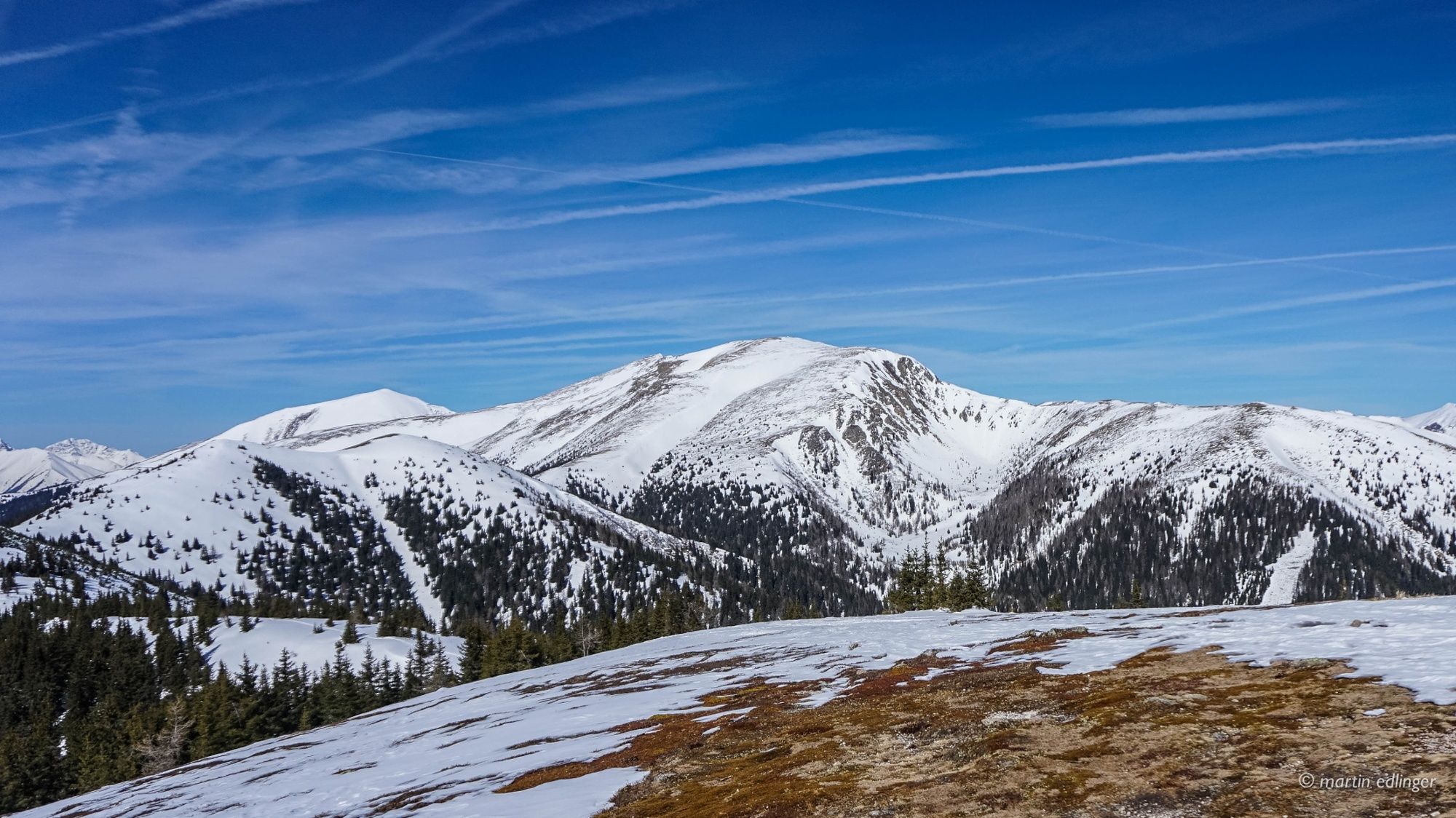
Extension option to Schneegrube 1950m: Follow the ridge from the Rosenkogel in a NW direction to the first summit after the Schneegrube. Descend on the SE side to the forest path and ascend again to the Loretto Chapel.
Extension option to Schöntal 1620m: From Sommertörl, continue down the forest road and ascend the 2nd forest road towards Schöntalhöhe. Descent across meadows past the Schöntalhütte just before the parking lot.
- Highest point
- 1,899 m
- Endpoint
-
Roßbach, Lanzalm or winter driving ban 1254 m
- Exposition
- Height profile
-

- Equipment
-
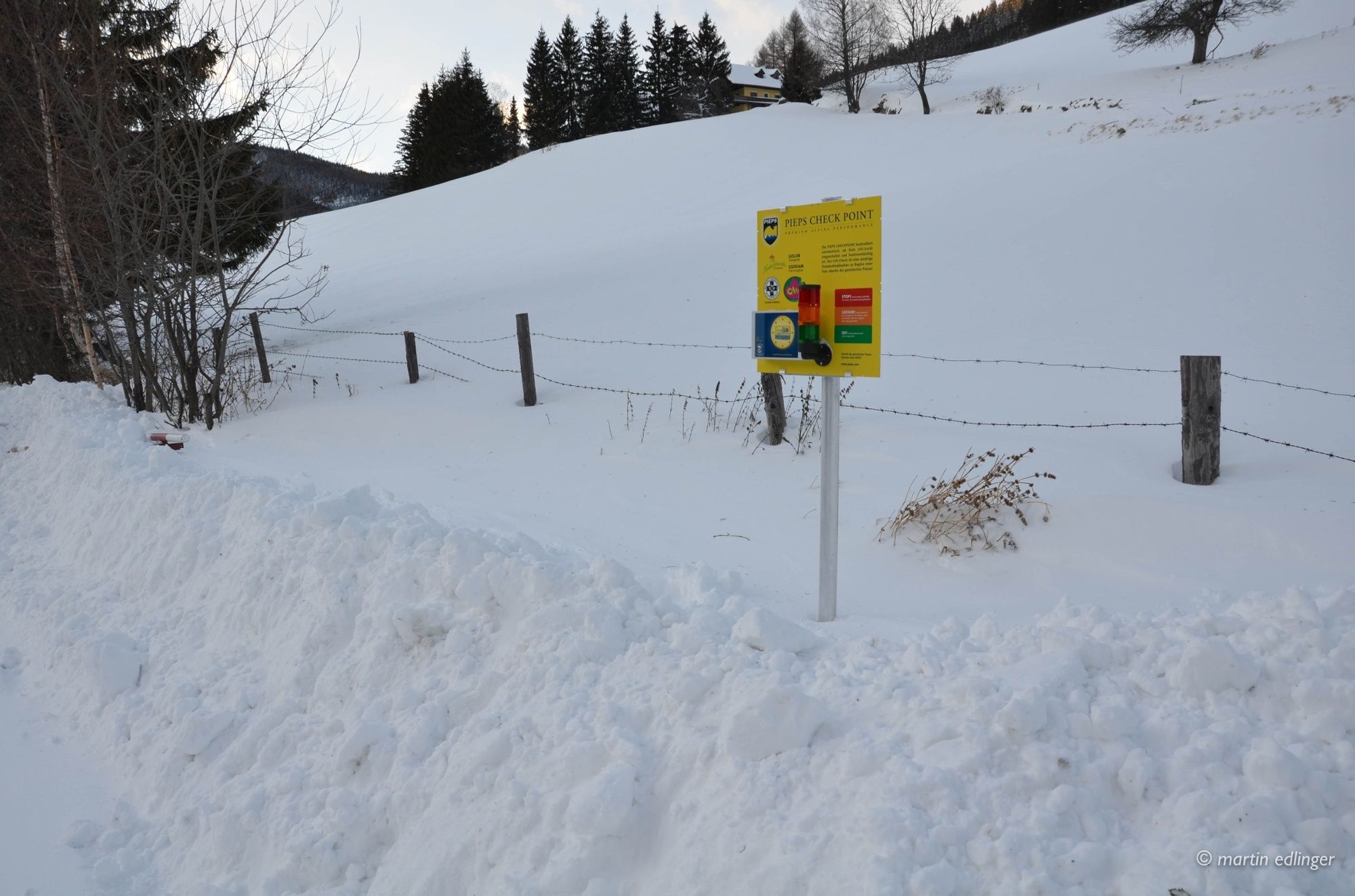
Apart from the most necessary equipment, such as skis, poles, etc., we recommend that you bring your orientation equipment (bus pole, map, GPS), avalanche transceiver, probe and shovel.
Telescopic poles with snow plate
Backpack
Gloves: waterproof and warming
Headgear
Gaiters: If there are no closable leg cuffs on the pants.
Pants: Ski pants are not recommended, because they are often too warm, but we need water-repellent and warming pants.
Warming outerwear: Onion layering system, t-shirt, sweater, jacket and winter jacket with hood.
Sunglasses: Very important, as snow reflects up to 95% of the light.
Creams: Protective measures for the skin are important against both the sun and the cold.
Headlamp: In winter it gets dark early, especially in the forest it can often be very dark when dusk begins.
Thermos: On cooler days a warming drink is pleasant.
Snack or snack
First aid kit
Other important items of equipment:
Cell phone
Tour description
Map: For overview a map in scale 1:50.000 of the respective region and a detailed plan of the hike
GPS device
Avalanche transceiver (avalanche transceiver), shovel and probe
This list and also the safety instructions have been summarized by the authors of the Rother snowshoe guide Styria. You are welcome to use these texts, but we kindly ask you to mention the copyright "Rother Schneeschuhführer Steiermark".
- Safety instructions
-
Relatively safe tour that is also feasible at higher avalanche warning level because you can use flat terrain areas.
When choosing a tour, weather, snow and avalanche situation are essential criteria. Basically, the decision of the tour depends on your own experience and basic physical condition. In advance, factors such as weather, avalanche situation report and equipment must be clarified in detail. A clear description of how to prepare for a snowshoe hike can be found in the Rother Snowshoe Guide Styria from page 14 to 20. Even if you have prepared perfectly, you must also take into account the given weather and snow conditions and the physical condition of the day during the hike itself. Thus, there is one important basic rule: please turn around if the hike becomes too strenuous or if the external conditions require it.
Walking times: The indicated walking time is to be understood as a guideline, as it depends on the snow conditions, the terrain and the presence of a trail. The individual condition and the stamina for strenuous trail work also play an important role. Sometimes the duration of the tour can change considerably due to large amounts of new snow, broken slush, soft sulzing snow, etc.
Alpine emergency call:
Mountain rescue emergency number: 140
EU emergency number: 112
Avalanche info:
Weather service:
Direct link mountain weather Styria:
https://www.zamg.ac.at/cms/de/wetter/produkte-und-services/bergwetter/steiermark
- Tips
-
Gasthaus Wachter (vlg. Lasser) should not be omitted. Excellent cuisine and who wants to stay overnight, very nice rooms. Tel.: +43 3513 222; Web.: www.gasthofwachter.at
- Additional information
-
Please observe the parking ban at the turnaround!
- Directions
-
S36 to Knittelfeld West and direction Gaal / Bischoffeld and further into the Gaalgraben. Follow the road to Roßbach, Lanzalm or winter driving banauf H 1254 m.
- Public transportation
-
By train to Knittelfeld station and by bus to Gaal. The starting point of the tour is located a few kilometers into the valley, so from the village of Gaal village is not accessible to the public.
- Parking
-
Parking along the road before the winter driving ban.


-

-
AuthorThe tour Rosenkogel is used by outdooractive.com provided.