
- Brief description
-
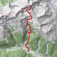
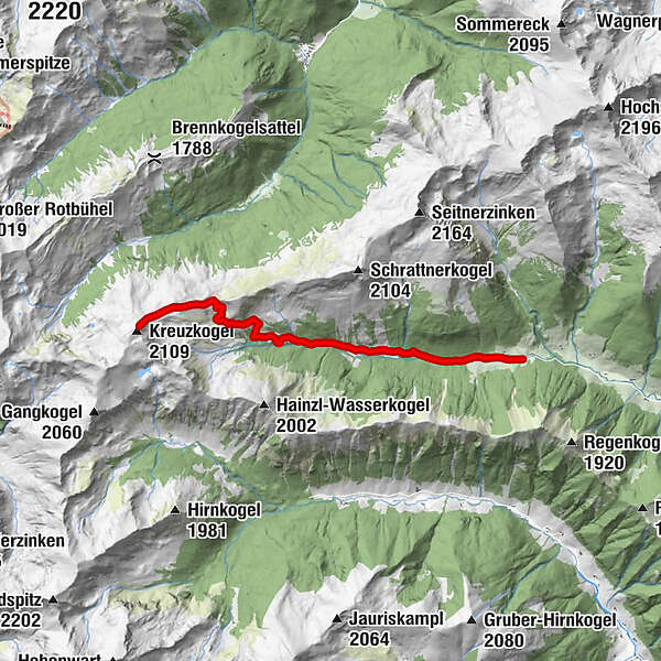
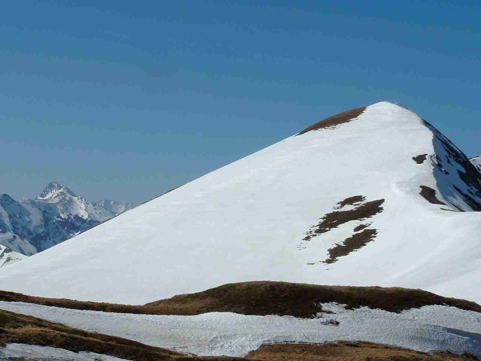
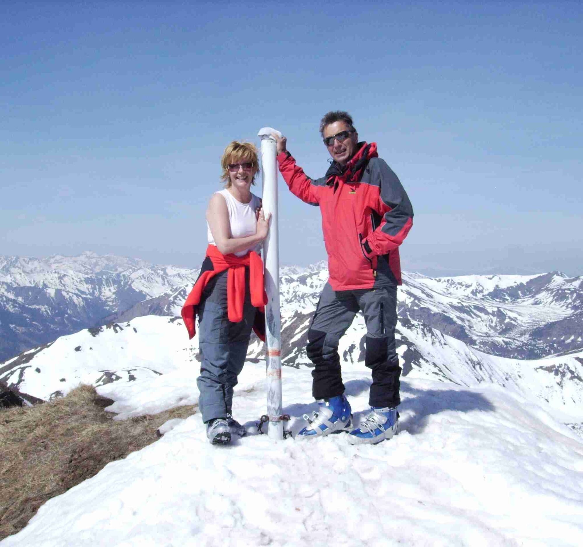
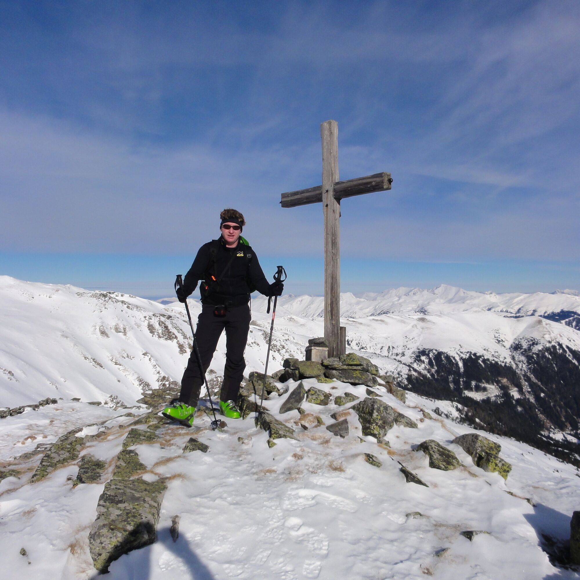
The Kreuzkogel Tour is a very challenging tour in the Murtal region. The ascent is possible all year round. An indescribable view of the mountains awaits you.
- Difficulty
-
medium
- Rating
-
- Starting point
-
Pichlerhütte
- Route
-
Große Windlucken (1,857 m)6.0 kmKreuzkogel (2,109 m)7.1 km
- Best season
-
AugSepOctNovDecJanFebMarAprMayJunJul
- Directions
-
From the Schwabergerhütte initially via the "Große Windlucken" and then left to the Kreuzkogel.
- Highest point
- 2,071 m
- Endpoint
-
Kreuzkogel
- Height profile
-

- Equipment
-
Every rucksack should contain: Rain, cold, sun protection, first aid kit, plenty of fluids and a hiking map of the region (available in tourist office)
- Safety instructions
-
Hiking...With respect for wildlife and the environment!
In the Pölstal, we are particularly concerned about the preservation of unspoiled nature. So that the pleasure of the people does not become a problem for wild animals and nature, it requires consideration measures.
For the sake of nature and the environment, correct behavior in the mountains is the top priority for the hiking enthusiast.
- Use the designated parking areas
- Do not block access roads and please respect local driving regulations
- Observe information boards at the starting points and stick to the recommended marked routes
- Avoid approaching wildlife
Check the daily weather service and the avalanche risk http://www.lawine-steiermark.at/
- Tips
-
Enjoy the magnificent view over the Pölstal region with a cup of tea at the summit cross. Breathtaking mountains, fresh air and unspoilt nature away from mass tourism.
Refreshment stops: GH Beren in the village or GH Schaffer
- Additional information
- Directions
-
Drive through Bretstein and Bretsteingassen into the Bretsteingraben. Drive along the Bretsteinbach stream to the Hansbauer and Bichler car parks.
- Public transportation
- Parking
-
You can park right next to the Bichlerhütte
-

-
AuthorThe tour Kreuzkogel is used by outdooractive.com provided.