
- Brief description
- Difficulty
-
medium
- Rating
-
- Starting point
-
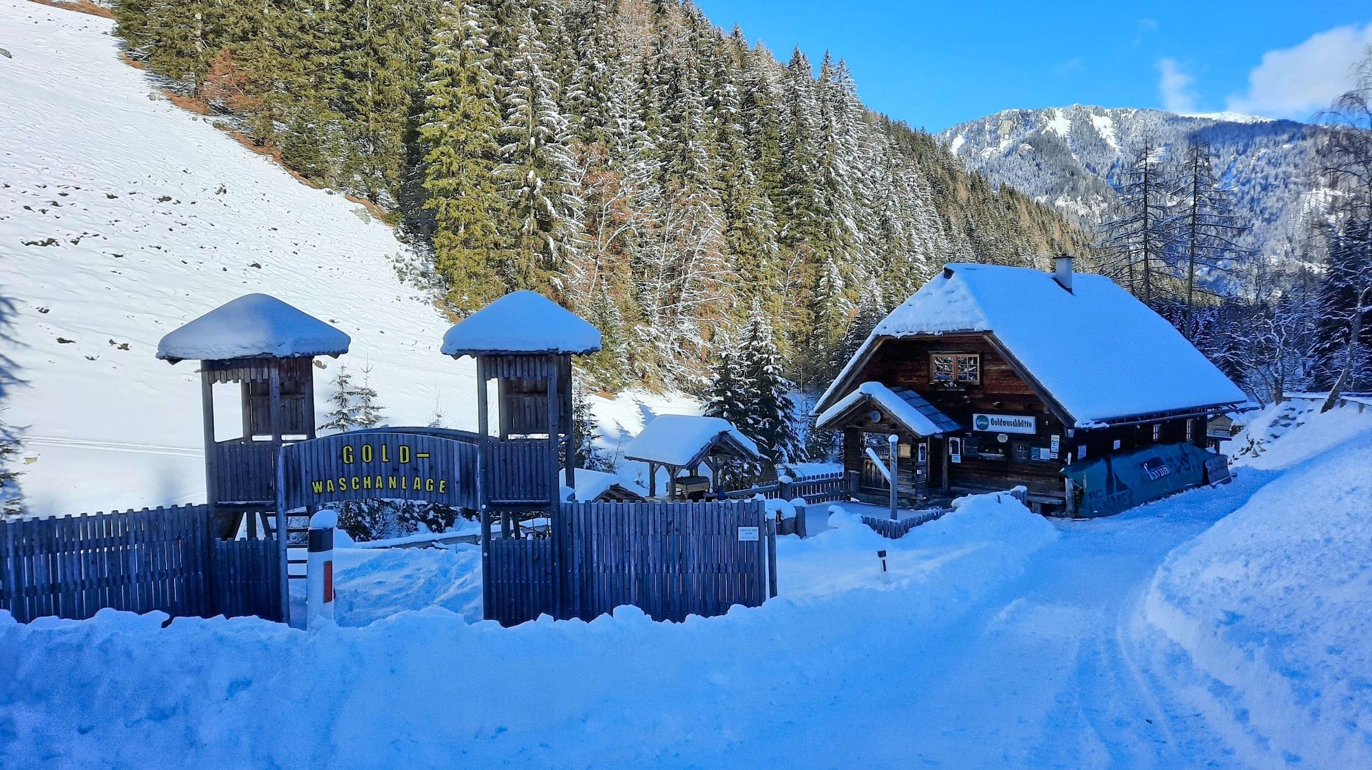
Parking lot at the gold panning plant Pusterwald
- Route
-
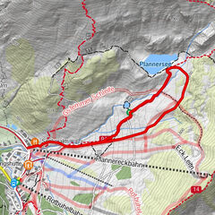
Goldwaschanlage Pusterwald0.0 kmWildalm4.2 kmGoldwaschanlage Pusterwald8.5 km
- Best season
-
AugSepOctNovDecJanFebMarAprMayJunJul
- Description
-
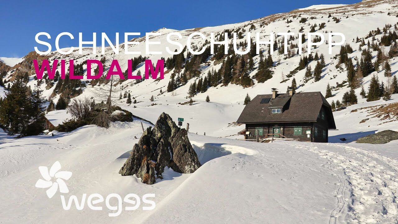
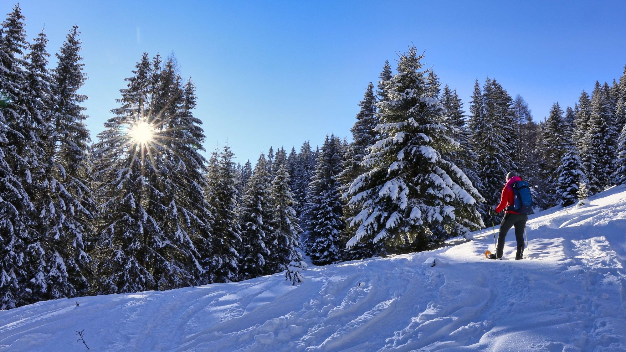
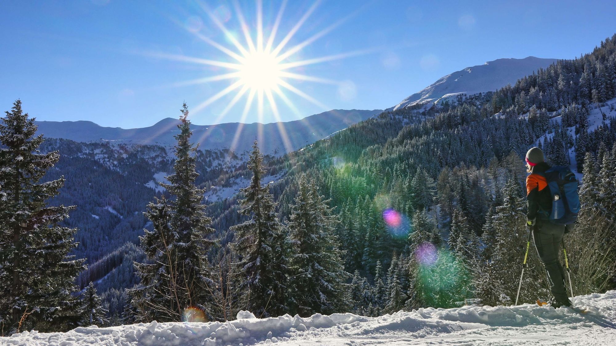
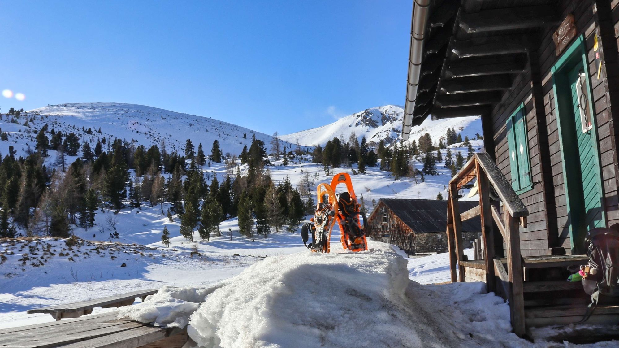
A hike to the magnificent alpine pastures around the Wildalmhütte. It begins at the parking lot of the Pusterwald gold panning plant, where you can experience the romance of gold mining during the summer season - without having to travel to America or Australia. The trail leads us at first very comfortably into the Scharnitzgraben and then uphill along a serpentine forest road to the Wildalm in the Murtal adventure region. Up to here we have already covered 500 meters in altitude and snowshoe hikers without high alpine experience are recommended to consider the Wildalm as the destination of their tour and explore the beautiful alpine pastures. Those who still have enough strength and the necessary alpine knowledge can choose between two peaks here - the Gruber Hirnkogel (2080 m) or the Kleinhansl (2217 m).
- Directions
-
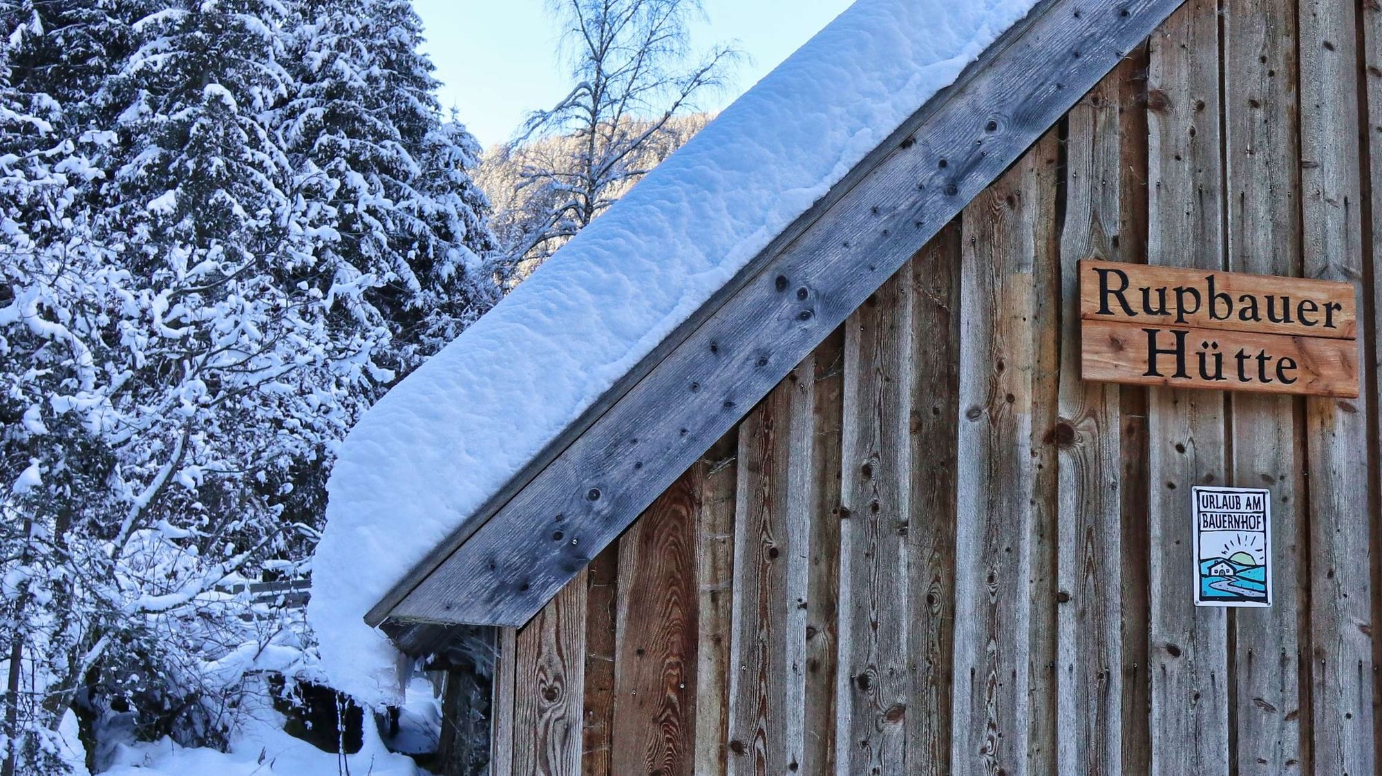
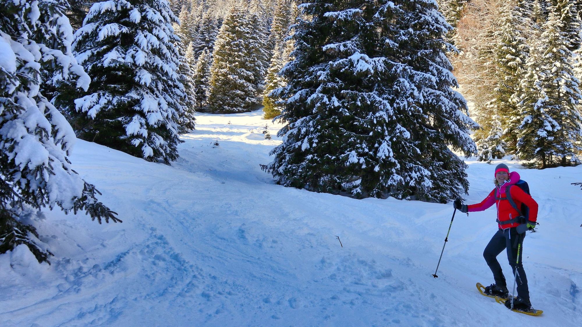
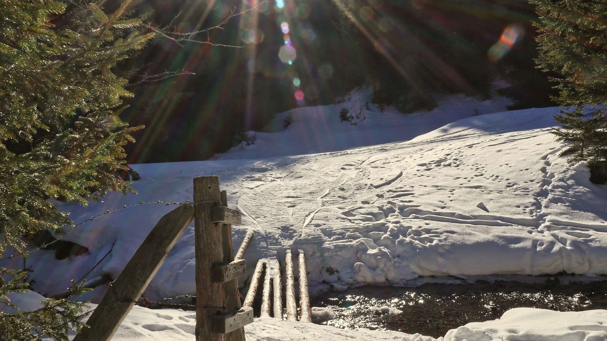
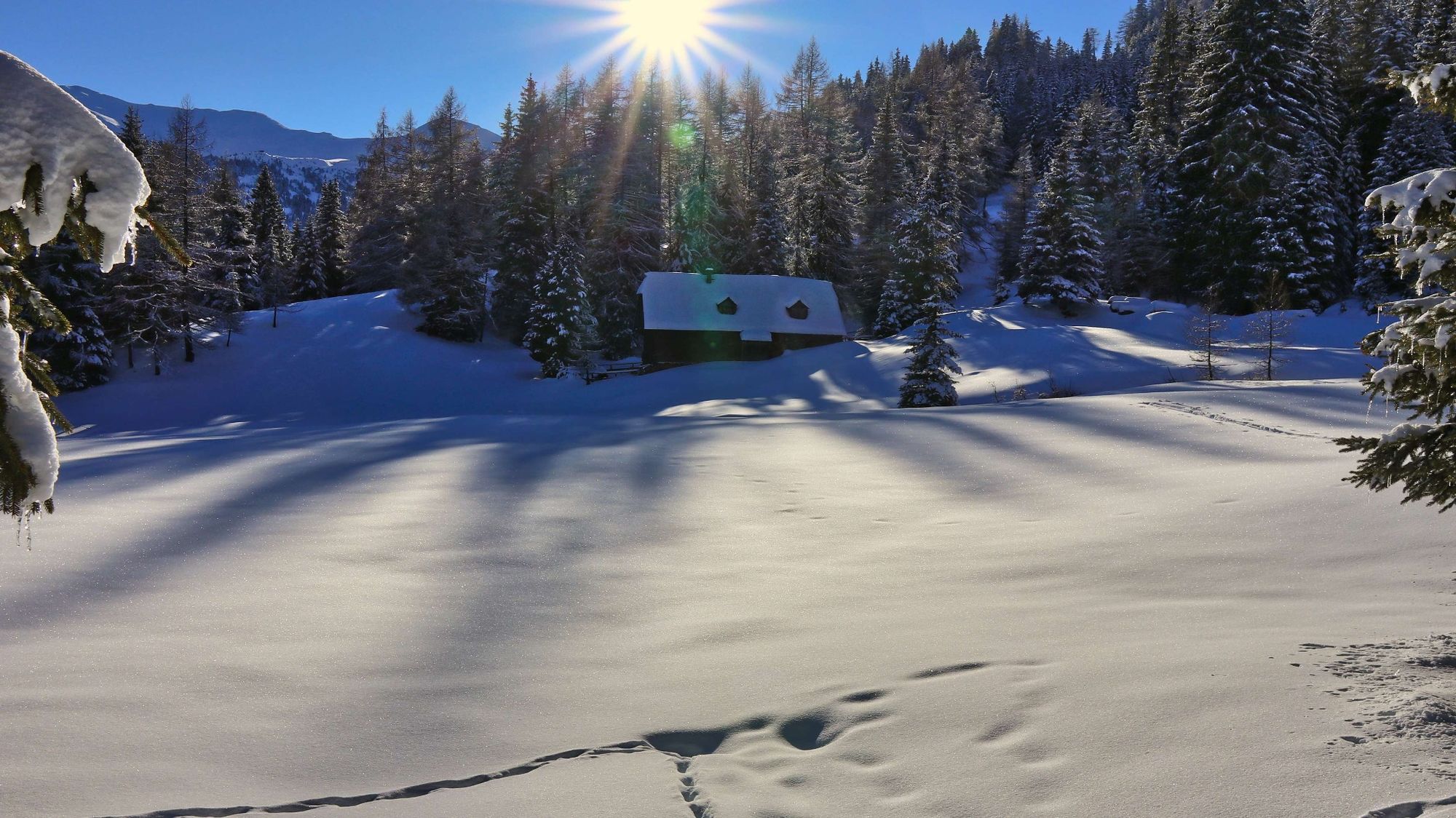
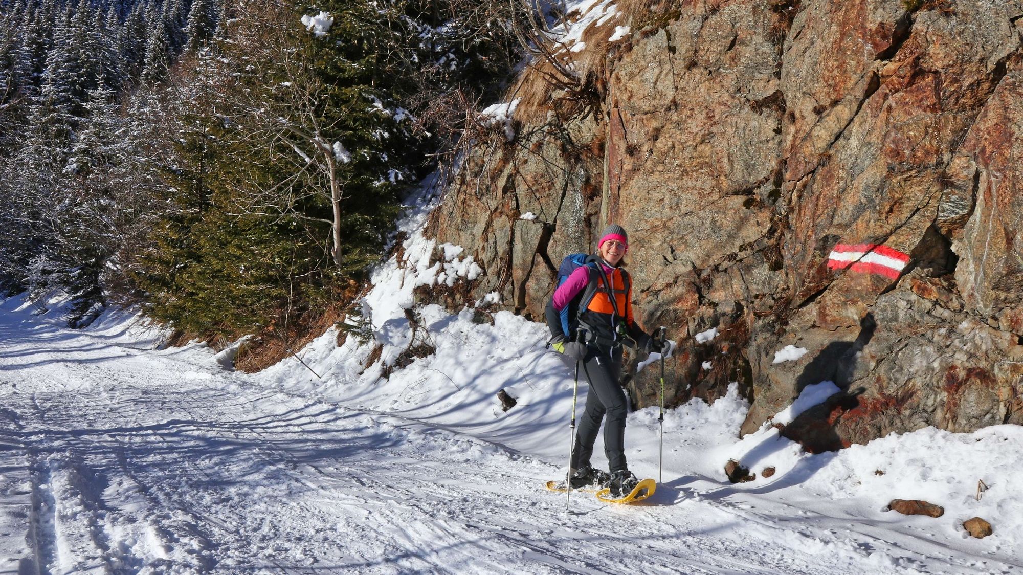
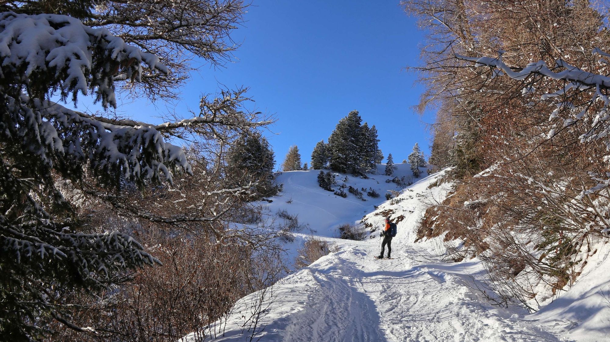
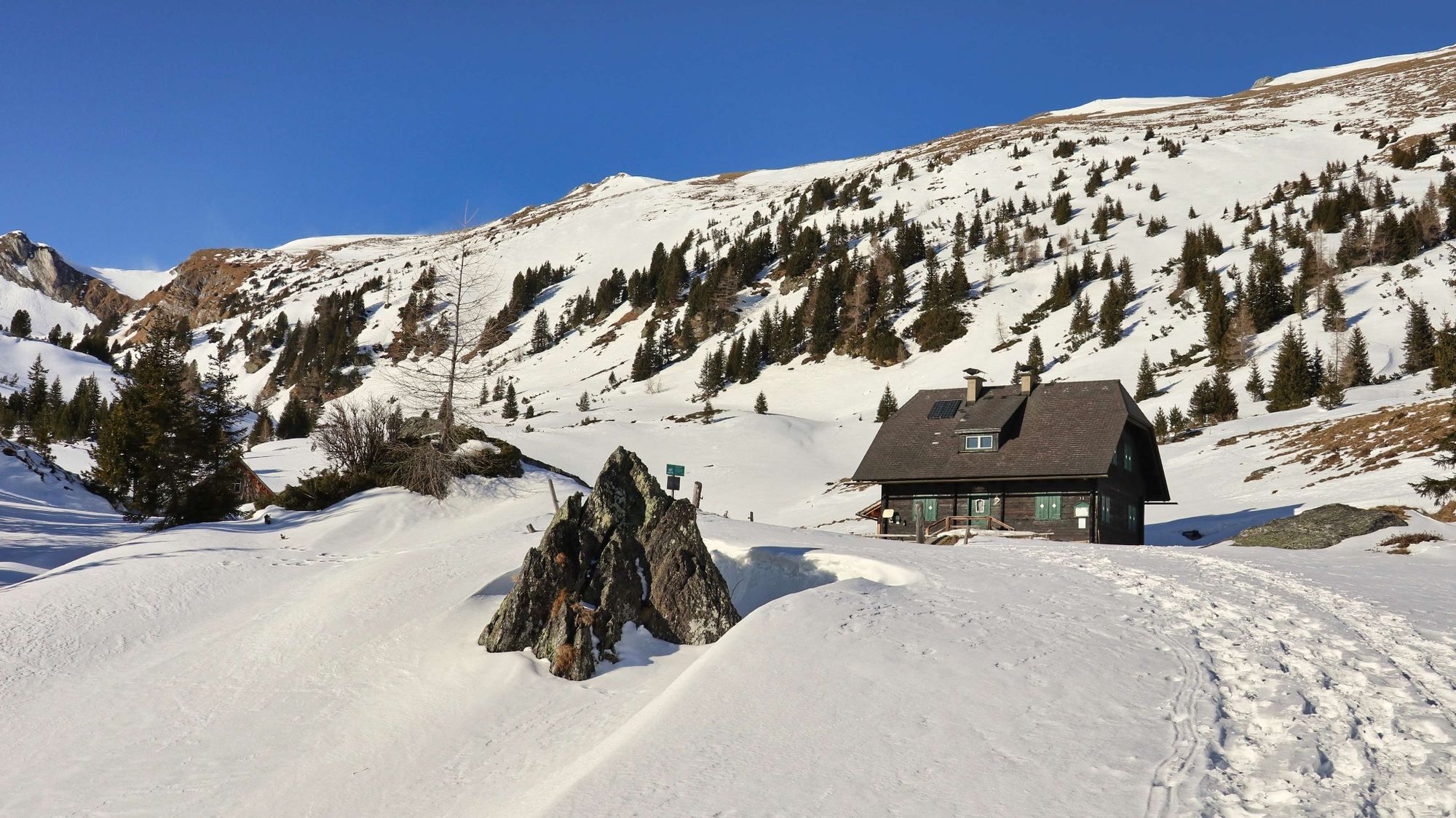
We start at the car park at the gold panning facility (1) (please note: closed), 1265 m, and follow the forest road along the Scharnitzgraben until we see the Rupbauerhütte (2), 1323 m, on the right. Immediately after the hut, turn right, cross the bridge and keep left. Numerous snowshoe and ski touring tracks provide orientation. The route continues leisurely across meadows, then crosses a small stream and continues uphill through wooded areas with small clearings. The numerous tracks lead us directly to the forest road, which we now follow uphill to the right. We pass the Jaurishütte (3), 1555 m, the base of the mountain and nature rescue organisation, and continue immediately over a stream. Shortly afterwards we see the crossroads (summer path to the Wildalmhütte). However, we stay on the forest road, which leads comfortably and gently uphill to the Wildalmhütte (4), 1753 m. The way back is via the ascent route back to our starting point.
Tip for experienced snowshoe hikers: For the ascent to the crossless Gruber-Hirnkogel, we take the direct route over the ridge to the left of the gully. If you would like to stay a little longer in the scenic terrain, you could hike on from there to the summit cross of the Hirnkogel.
- Highest point
- 1,745 m
- Endpoint
-
Gold panning plant Pusterwald
- Height profile
-

- Equipment
-
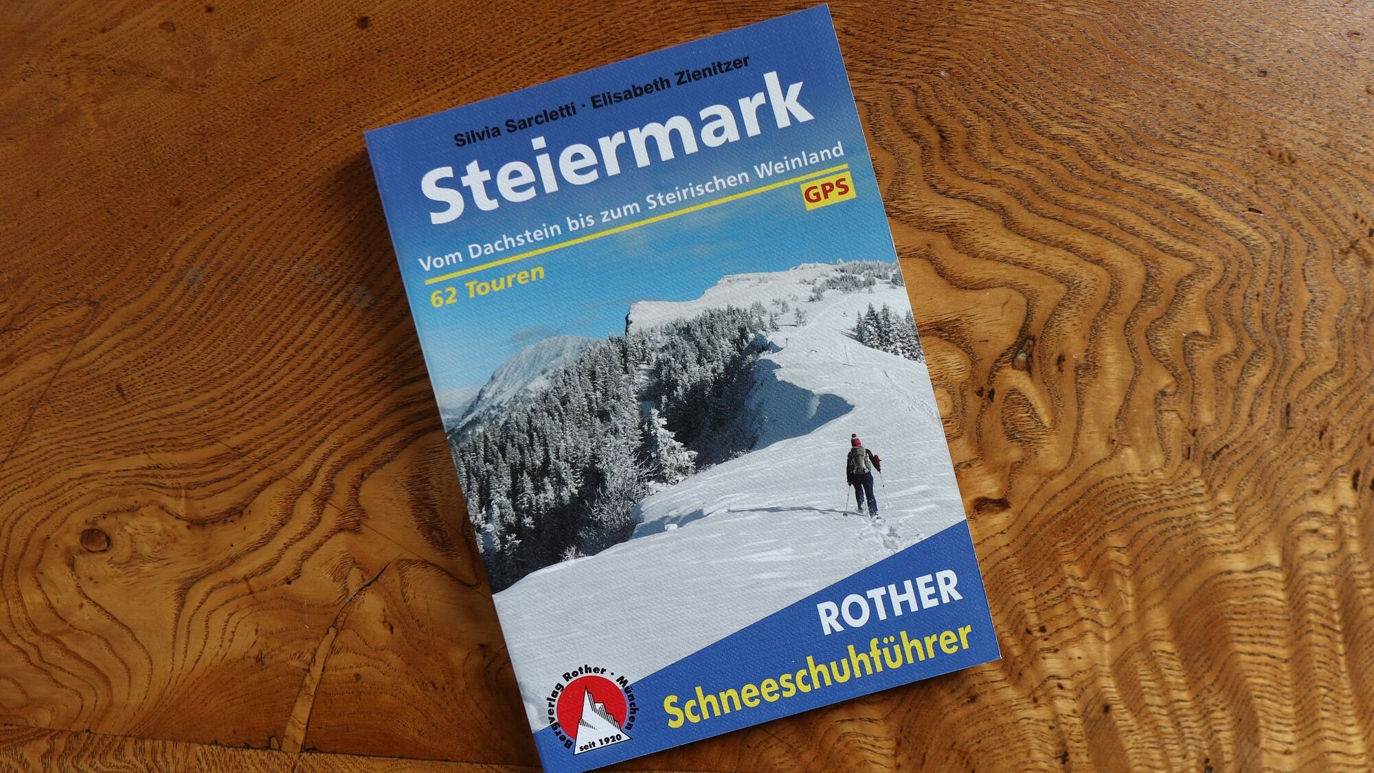
Apart from the most necessary equipment, such as snowshoes, poles, etc., we recommend that you bring orientation aids (bus pole, map, GPS), avalanche transceiver, probe and shovel. We have taken this checklist from the Rother Snowshoe Guide Styria and summarized it for you, so that it will be helpful for your next snowshoe hike.
SnowshoesTelescopic poles with snow plateWaterproof mountain boots or lined winter mountain bootsBackpack: If the snowshoes have to be carried, a backpack with a lid buckle is necessary.Gloves: waterproof and warmingHeadgearGaiters: If there are no closable leg cuffs on the pants.Pants: Ski pants are rather not recommended, because they are often too warm, but we need waterproof and warming pants. Warming outerwear: Onion layering system, t-shirt, sweater, jacket and winter jacket with hood.Sunglasses: Very important, as snow reflects up to 95% of the light.Creams: Protective measures for the skin are important against both the sun and the cold.Headlamp: In winter it gets dark early, especially in the forest it can often be very dark when dusk begins.Thermos: On cooler days a warming drink is pleasant.Snack or snackFirst aid kit
Other important equipment
Cell phoneTour descriptionMap: For overview a map in scale 1:50.000 of the respective region and a detailed plan of the hikeGPS deviceAvalanche transceiver (avalanche transceiver), shovel and probe This list and also the safety instructions have been summarized by the authors of the Rother Snowshoe Guide Styria. You are welcome to use these texts, but we kindly ask you to mention the copyright "Rother Schneeschuhführer Steiermark".
- Safety instructions
-
When choosing a snowshoe tour, weather, snow and avalanche situation are essential criteria. Basically, the decision of the tour depends on your own experience and basic physical condition. In advance, factors such as weather, avalanche situation report and equipment must be clarified in detail. A clear description of how to prepare for a snowshoe hike can be found in the Rother Snowshoe Guide Styria from page 14 to 20. Even if you have prepared perfectly, you must also take into account the given weather and snow conditions and the physical condition of the day during the hike itself. Thus, there is one important basic rule: please turn around if the hike becomes too strenuous or if the external conditions require it.
Walking times: The indicated walking time is to be understood as a guideline, as it depends on the snow conditions, the terrain and the presence of a trail. The individual condition and the stamina for strenuous trail work also play an important role. Sometimes the duration of the tour can change considerably due to large amounts of new snow, broken slush, soft sulzing snow, etc.
Alpine emergency call:
Mountain rescue emergency number: 140
EU emergency number: 112
Avalanche info:
Weather service:
Direct link mountain weather Styria:
https://www.zamg.ac.at/cms/de/wetter/produkte-und-services/bergwetter/steiermark
- Tips
-
In good weather conditions there are still 2 peaks to choose from: the Kleinhansl, 2217m or the Gruber Hirnkogel, 2080m.
- Additional information
-
Refreshment and accommodation options:
Gasthaus Jagawirt in Pusterwald, Tel.: +43 3574 2233, 8764 Pusterwald, Pusterwald 57, More info, Facebook entry.
Monday, Tuesday day off
Goldwaschanlage Pusterwald, Tel.: +43 664 314 9824, 8764 Pusterwald, Pusterwald 171, More info.
In winter Friday, Saturday, Sunday open from 10:00 am
- Directions
-
From Judenburg via the B 114 in the direction of Hohentauern (36 km, approx. 40 minutes).
From Trieben an der Pyhrn freeway A 9 via B114 in the direction of Judenburg (44 km, approx. 50 minutes).
By car to snowshoe hiking - a few things to watch out for!
Good winter tires are an absolute MUST!Ice scraper, snow broom, de-icer for the door locks and a small shovel belong to the basic equipment.Put snow chains and a tow rope in the car, even if you are not good with them yourself. Helping and knowledgeable hikers are always available on the mountain!Clear the car completely of snow and ice, especially sweep off the roof of the car completely.When parking, make sure you leave room for other motorists.Always park so that the rest of the roadway remains clear for cars, logging trucks, and snow removal vehicles.Find out about the snow situation on the access road or parking facilities before setting off. (hut host, webcams)
- Public transportation
-
The starting point, the gold panning plant in Pusterwald, is not directly accessible by public transport. The nearest stop "Pusterwald Mitterbacher" is about 2 km / 45 minutes walk away.
It takes about 70 minutes to get to the "Pusterwald Mitterbacher" stop from Judenburg and about 20 minutes from St. Oswald-Möderbrugg.
The exact timetable and general information about public transport to the region: www.verbundlinie.at
- Parking
-
Ample parking is available at the designated ski touring and winter parking area at the gold panning facility. (Voluntary donation)

- Author
-
The tour Snowshoe hike Wildalm is used by outdooractive.com provided.