- Brief description
-
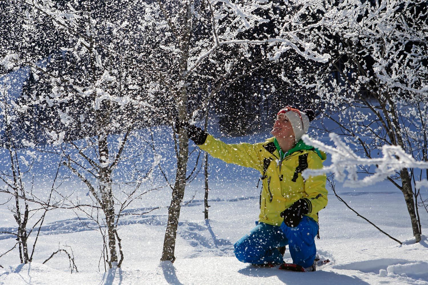
Nice snow shoeing tour over meadows and through forest on the sunny plateau of Vorberg.
- Difficulty
-
easy
- Rating
-
- Starting point
-
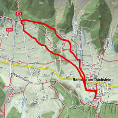
Brandstätterhof farm, Vorberg
- Route
-
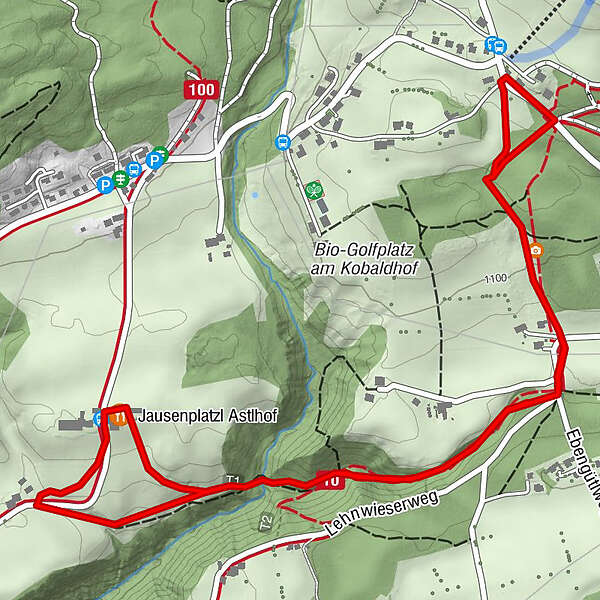
Jausenplatzl Astlhof3.9 km
- Best season
-
AugSepOctNovDecJanFebMarAprMayJunJul
- Description
-
This snow shoeing tour connects two areas called "Vorberg". You start off at Pichl-Vorberg and walk through the Wolfsschlucht gorge to reach Ramsau-Vorberg. Although two different areas, one thing stays the same: "Vorberg" is always a sunny place.
- Directions
-
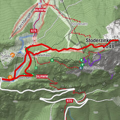
Starting from the Brandstätterhof farm (near the hiking trail head Vorberg-Steirerhof) you make your way East on the so-called "Lochweg" along the edge of the forest. After a short section through the forest you reach the Vorbergstraße in Ramsau. You pass by the "Unterer Drachenlift" ski lift at the edge of the forest and then continue to the right where you again cross Vorbergstraße road. Via a yellow-marked (summer) trail you walk back to your starting point.
- Highest point
- 1,125 m
- Endpoint
-
Brandstätterhof farm, Vorberg
- Height profile
-

- Equipment
-
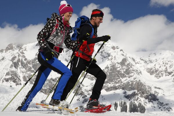
Snow shoes, poles, good winter shoes, warm clothing, tuque, and gloves. You might also want to carry a small backbag with a warm drink in a thermos jug.
- Safety instructions
-
Before each and every ski tour or snow shoe walk you should check the most recent avalanche warnings which can be found at www.lawine-steiermark.at.
In winter time it is therefore important to also be careful on supposedly easy walks. Sections that are in the shadows can easily get icy, and slopes on the side of the trail may have avalanche hazard. Mountain sport is always carried out under personal responsibility - in winter even more than in summer. Tourist offices or avalanche warning services do not take any responsibility in respect to information provided.
GPS data and orienteering
Available GPS data - just like hiking maps - is only a guidance for orientation and can never depict a trail exactly with all its details. Especially at dangerous spots it is essential to judge on site how to proceed.
In an emergency please call:
140 - for Alpine emergencies (all over Austria) 112 - European GSM emergency number - Tips
-
On snow shoes you have the advantage of not needing a trail all the time. However, out of respect for wildlife and its resting areas you should not just walk cross-country as you like.
- Additional information
- Directions
-
Exit from federal highway B320 in Pichl and continue on Vorbergstraße road towards Pichl-Vorberg. Pass by Hotel Steirerhof and then make a right to reach the Brandstätterhof farm.
- Public transportation
- Parking
-
The closest publich parking is available at the hiking trail head Vorberg-Arnika (about 10 walking minutes away).
-

-
AuthorThe tour Snow Shoeing at Vorberg is used by outdooractive.com provided.