
- Brief description
-
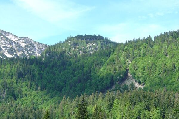
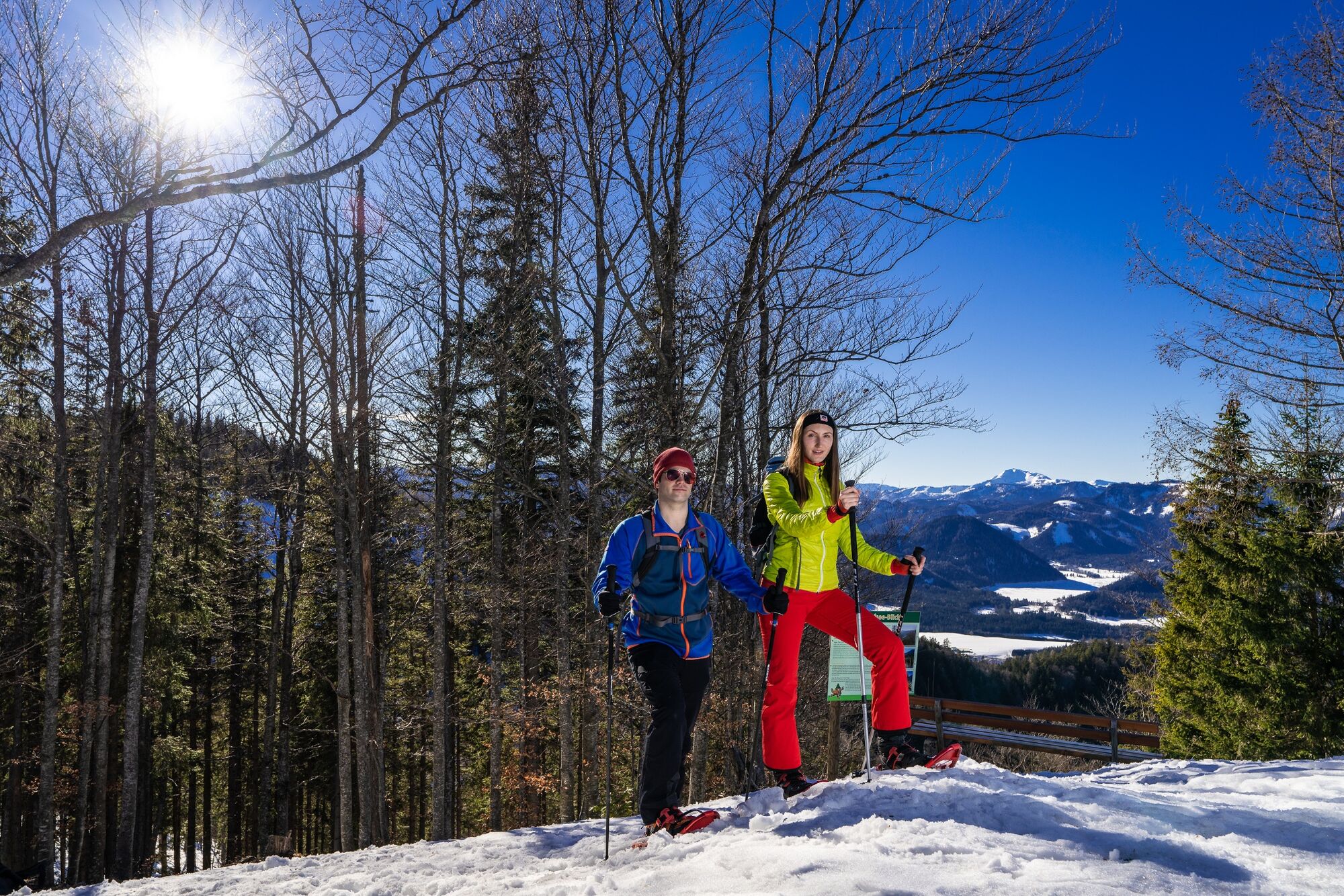
The Drei-Seen-Blick circular hiking trail was created in the fall of 2015 directly at the summit of the Mariazell Bürgeralpe and can be walked with snowshoes in winter.
- Difficulty
-
easy
- Rating
-
- Starting point
-
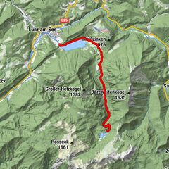
Cable car mountain station
- Route
-
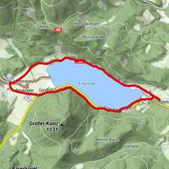
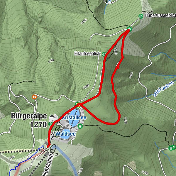
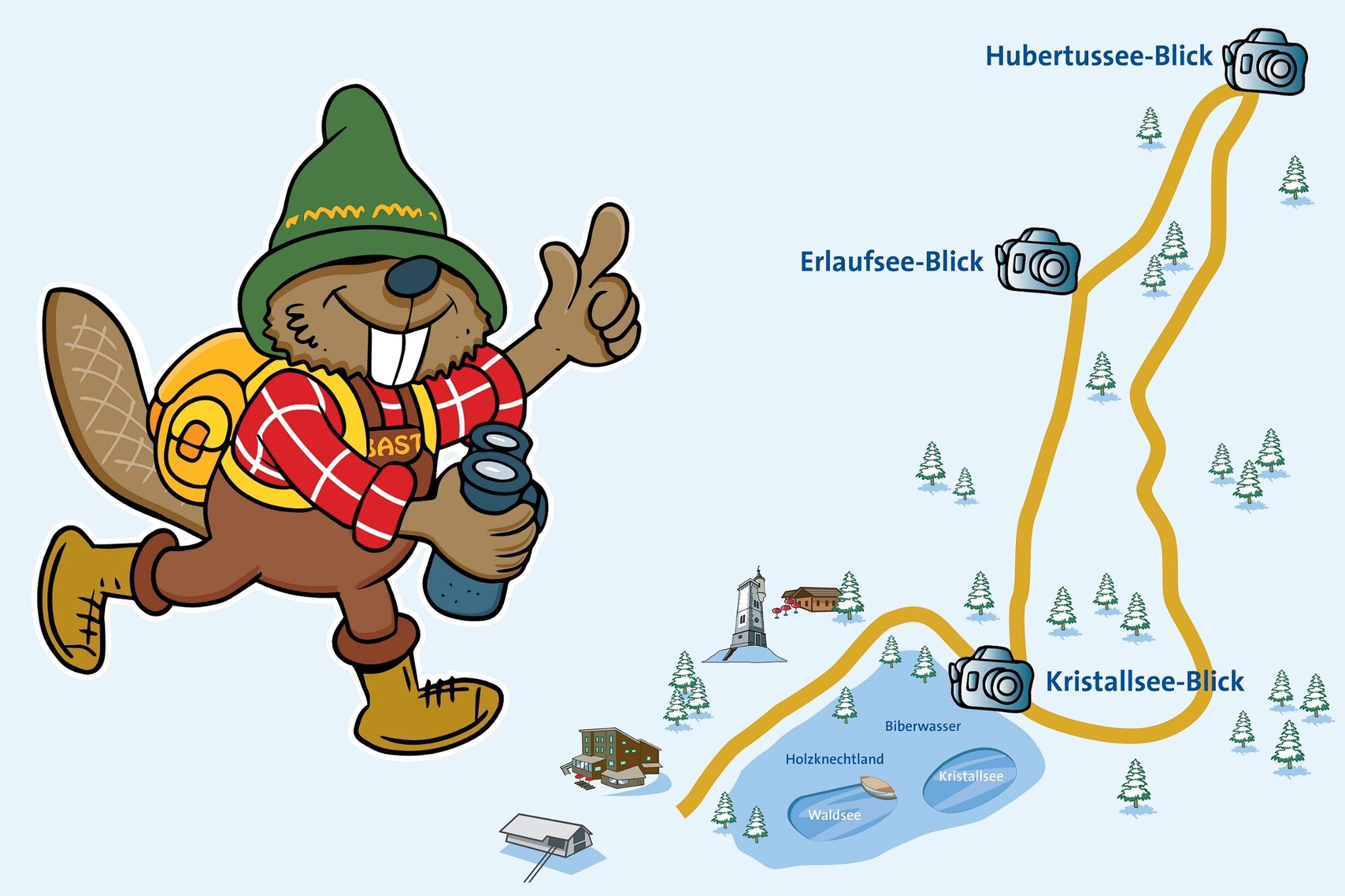
Berggasthof0.0 kmBürgeralpe (1,270 m)0.2 kmEdelweißhütte0.2 kmErlaufseeblick0.8 km
- Best season
-
JanFebMarAprMayJunJulAugSepOctNovDec
- Description
-
Crystal lake view
The crystal lake was built in 2011 as an extension of the snowmaking system. The pond comprises a volume of 40,000 m³ of water. Thus, together with the adjacent forest lake, the Bürgeralpe has a total of 60,000 m3 of water storage at its disposal.
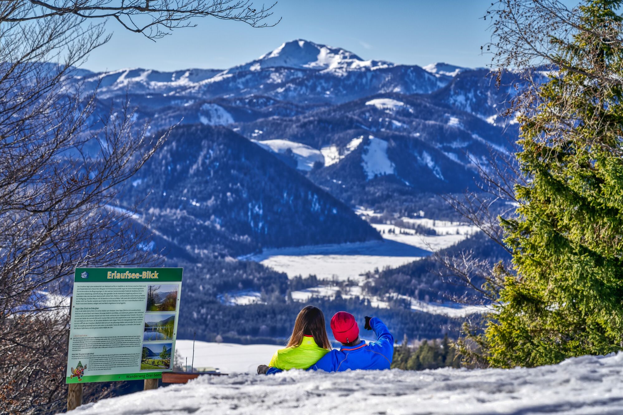
Lake Erlaufsee view
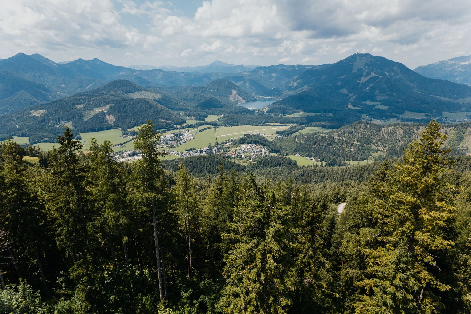
Lake Erlaufsee is located 3 km northwest of Mariazell at 827 m above sea level on the border between Styria and Lower Austria. This clear mountain lake with drinking water quality provides a special excursion pleasure with many leisure activities.
Hubertussee view
Created by the Krupp family, the lake is a popular excursion destination and a fishing water rich in fish. The Hubertussee is located about 15 kilometers northeast of Mariazell on the Lower Austrian-Styrian border in the "Walstern".
- Directions
-
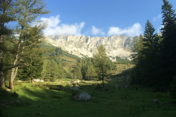
Along the way you have an impressive view of the mountain panorama as well as the 3 lakes: Kristallsee, Erlaufsee and Hubertussee.
From the top station we hike past the lookout to the Kristallseeblick - then on to the Erlaufseeblick and finally to the Hubertusseeblick until we return to our starting point.
For the ascent or descent to the Mariazell Bürgeralpe we can use the new 8-seater gondola "Bürgeralpe Express" -
information at www.buergeralpe.at
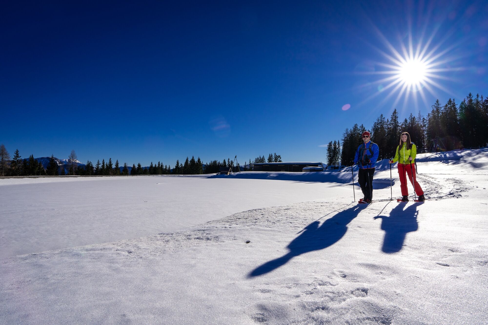
The hiking trail is not groomed in winter, but the beautiful winter landscape can be explored on snowshoes.
Here you can find a blog report by Fred Lindmoser from the hike incl. video!
- Highest point
- 1,261 m
- Endpoint
-
Cable car mountain station
- Height profile
-

- Equipment
-
Proper backpacking makes many things easier: pack heavy things first. The water bottle should always be within easy reach in a side pocket. All things that are often needed such as sunglasses, camera or hiking map belong on top.
An emergency kit belongs in every backpack!
A clothing according to the "onion system" is always recommended!Do not forget a blister plaster just in case!
- Safety instructions
-
Emergency call mountain rescue: 140
Emergency reporting tip - provide answers to the six W questions: What happened? How many injured? Where did the accident happen (possibly GPS coordinates)? Who is reporting (callback number)? When did the accident happen? Weather at the accident site?
- Tips
-
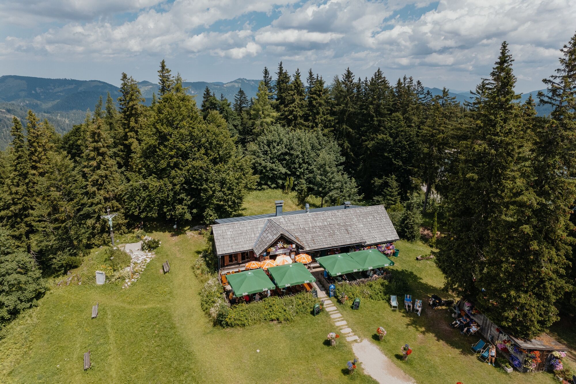
At the beginning or at the end of the tour a detour at the cozy Edelweißhütte should not be missed!
- Additional information
- Arrival
- Public transportation
- Parking
- Author
-
The tour Winter hiking trail Three Lakes View on the Bürgeralpe is used by outdooractive.com provided.


General info
-
Mostviertel
2451
-
Mariazellerland
1503
-
Mariazeller Bürgeralpe
380