- Brief description
-
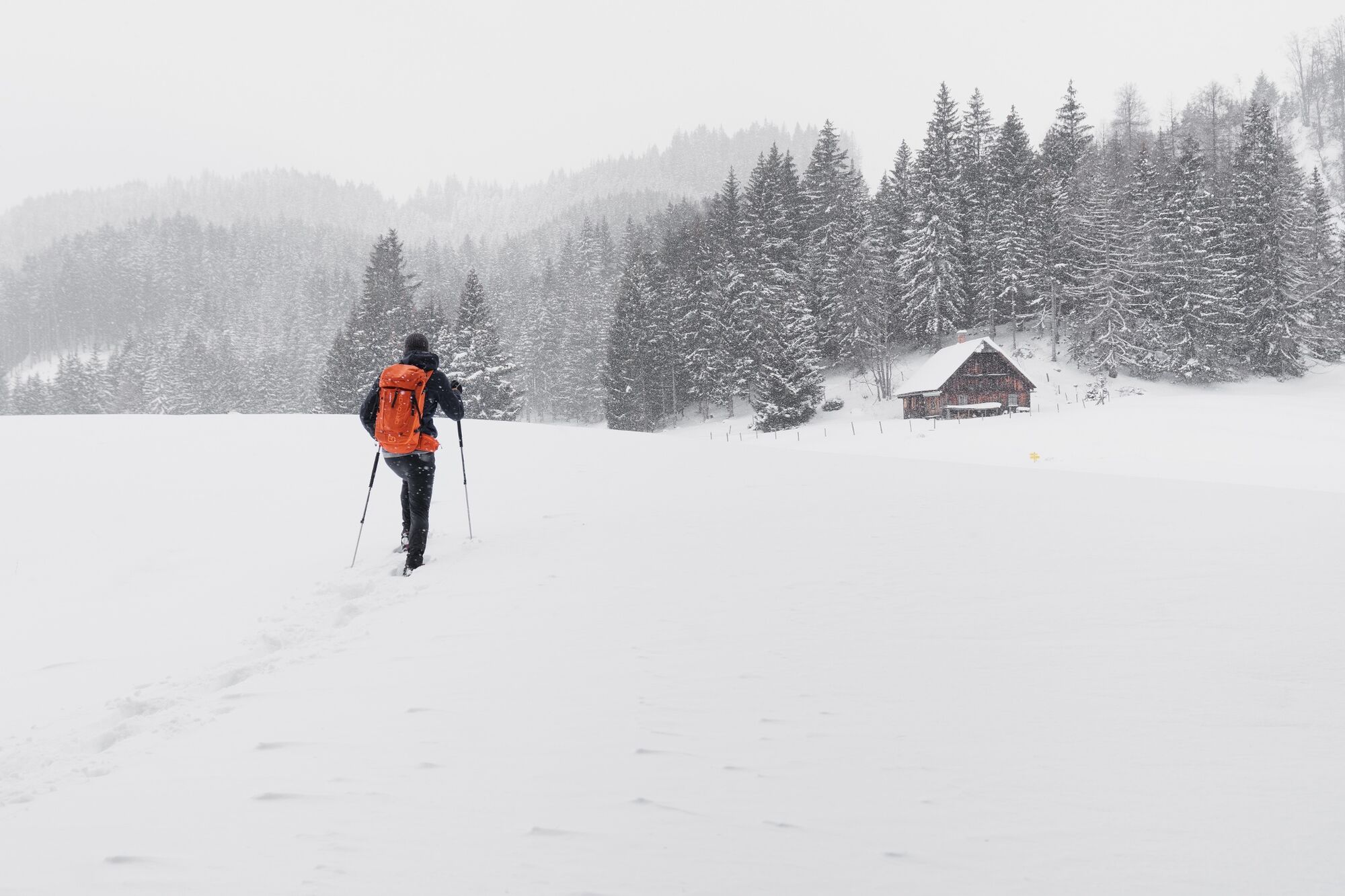
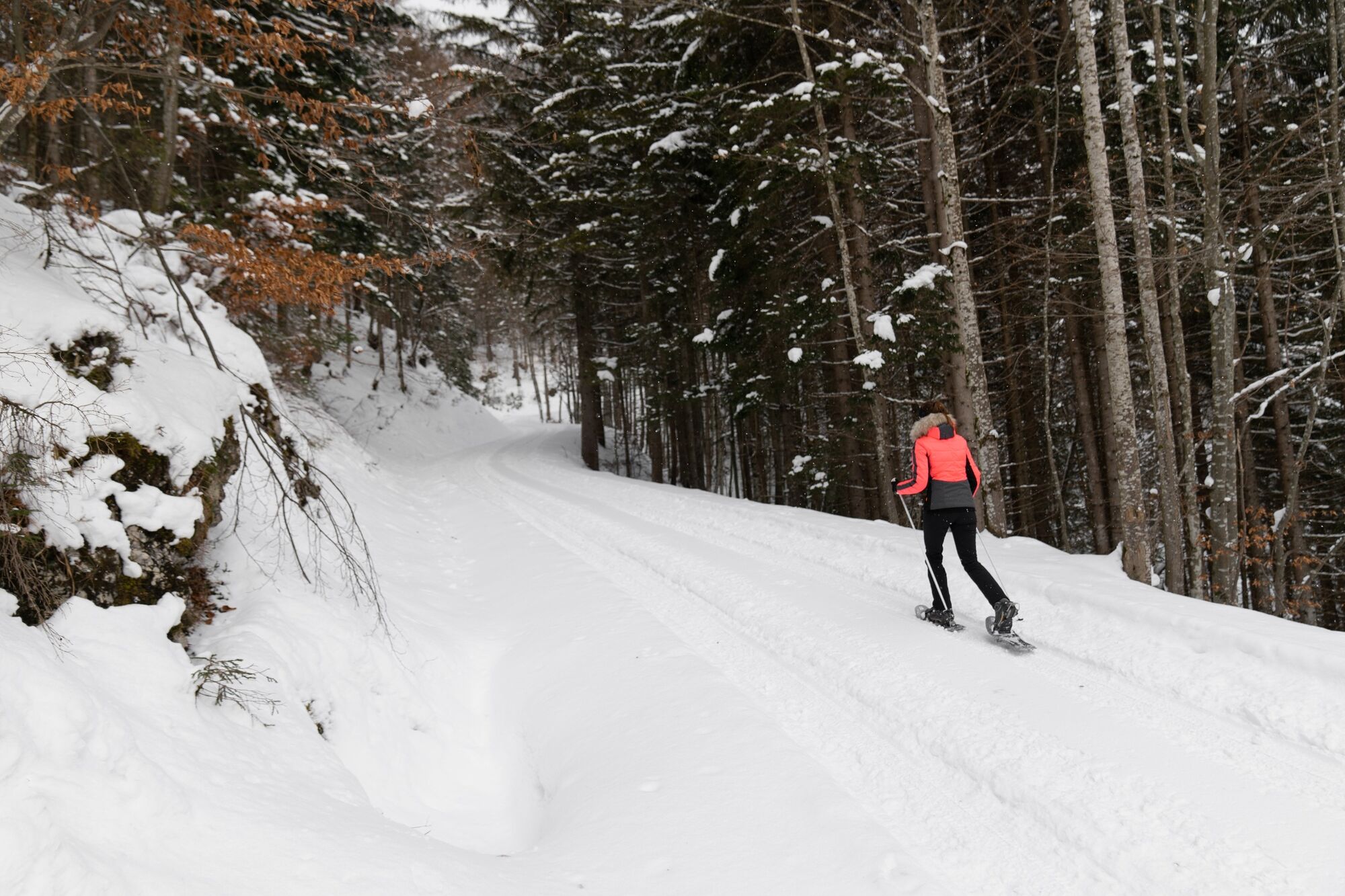
On the sunny side of the Enns valley you will make a lot of altitude meters. A wonderful view of the surrounding peaks compensates you for your efforts. That's a promise.
- Difficulty
-
easy
- Rating
-
- Starting point
-
Community Office Wörschach
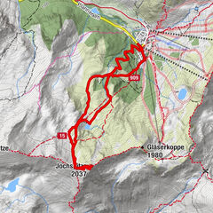
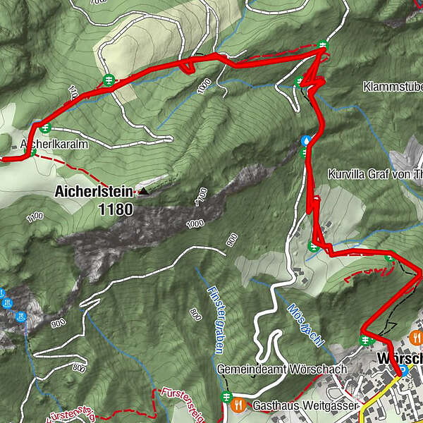
- Route
-
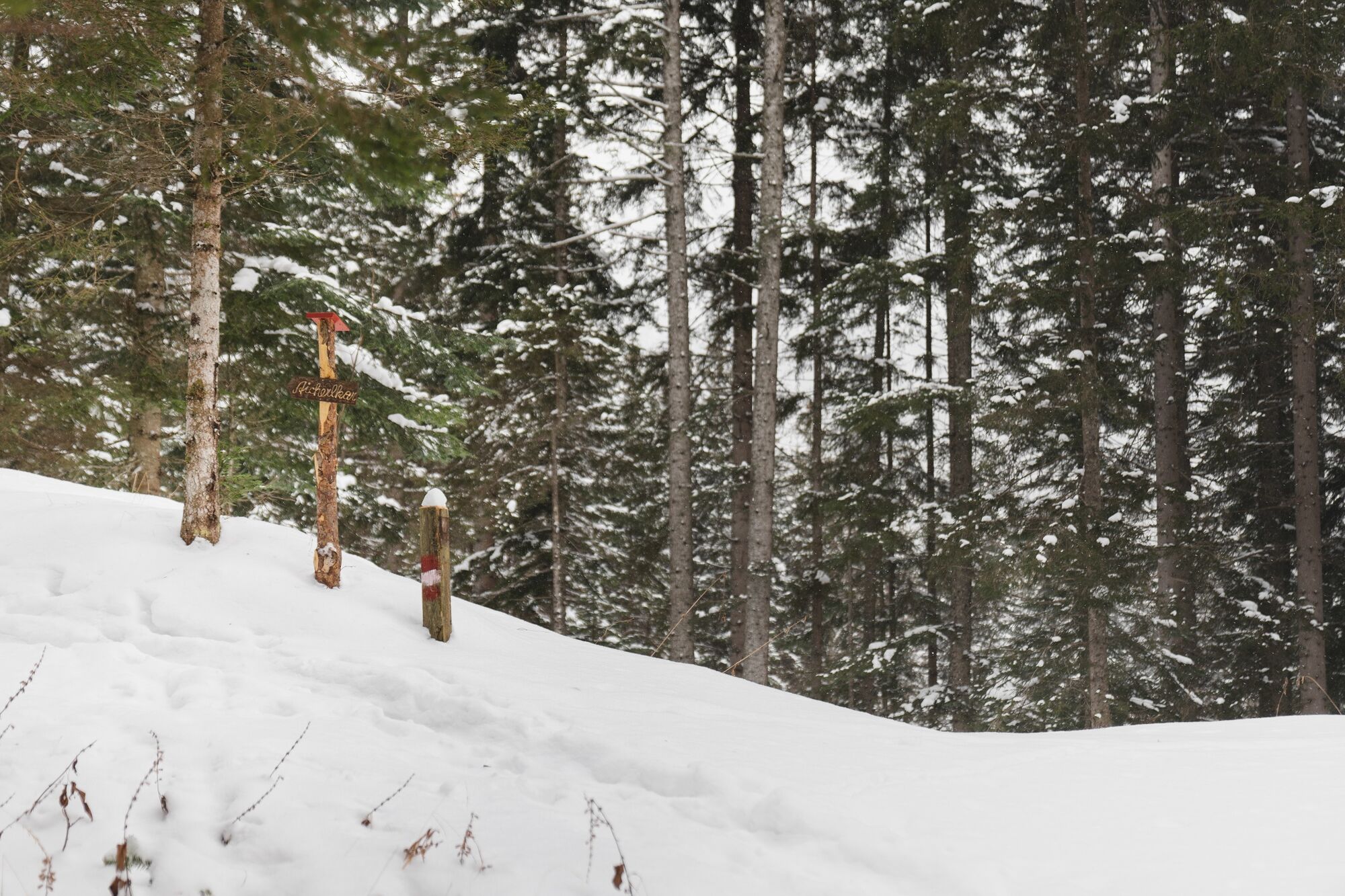
PoschenhofPoschenhof5.6 kmWörschach5.6 km
- Best season
-
AugSepOctNovDecJanFebMarAprMayJunJul
- Highest point
- 1,140 m
- Endpoint
-
Community Office Wörschach
- Height profile
-

- Equipment
-
Always important: snowshoes, winter mountain boots or sturdy mountain boots as well as telescopic poles with snow plates
In addition to food and warm drinks, pack spare clothing and a first aid kit in your backpack
Choose your clothing according to the onion layer system
An avalanche transceiver, probe and shovel are, as in ski touring, required in alpine terrain
Use a backpack to which you can attach your snowshoes
You should also pack maps and/or tour descriptions. GPX tracks on your cell phone or GPS device will also help you
Rental of snowshoes, poles and safety equipment at Sport Scherz and Sport Schöttl - Safety instructions
-
Before every snowshoe hike you should always check the current avalanche report - available at www.lawine-steiermark.at. Mountain sports and the assessment of the situation on site are - in winter all the more so - above all subject to personal responsibility. Tourism associations or avalanche warning services do not assume any liability based on information provided.
Do not go on snowshoe hikes alone. Together it is more fun anyway.
Always be aware of risks and react to danger signs.
Observe existing regulations such as hunting and game reserves, reforestation or young growth areas
You should always have your cell phone well charged. Have you also saved the emergency number 140 of the mountain rescue service? If you have no reception, take out the SIM card and dial 112. - Additional information
-
Tourism information: www.schladming-dachstein.at
Tourism blog: www.derbergdastal.at
Tourist Office Schladming-Dachstein
Ramsauerstrasse 756
8970 Schladming
T: +43 3687 23310
Garbage on meadows and paths can not smell mountain and valley. Please take it with you. Agriculture and forestry are important partners for Berg und Tal. They allow you to walk and drive on many of their paths. Be aware that only good cooperation will guarantee your recreational enjoyment in the future.
Sport Scherz
At Riesneralm, Planneralm and in Wörschach
+43 (0)3682 22383
sport-scherz.at
Sport Schöttl
At Planneralm and in Irdning
+43 (0)3682 22952 0
sport.schoettl.at - Directions
-
Leave the Ennstalbundesstraße (B320) in Wörschach and follow the Dorfstraße to the Community Office.
- Public transportation
- Parking
-
A free parking lot is located directly at the Community Office.
- Author
-
The tour Snowshoe hiking tour Aicherlkar is used by outdooractive.com provided.