


- Brief description
- Difficulty
-
medium
- Rating
-
- Starting point
-
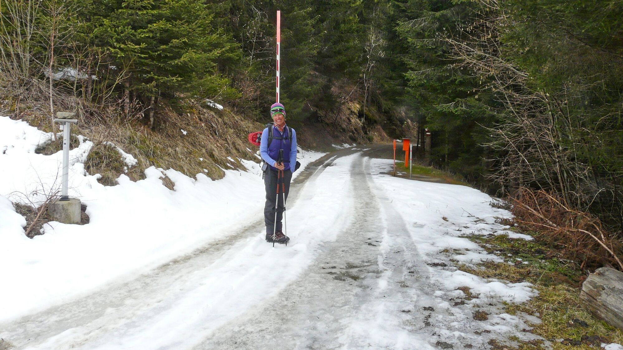
(Few) parking facilities just before a barrier, 1009 m
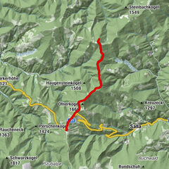
- Route
-
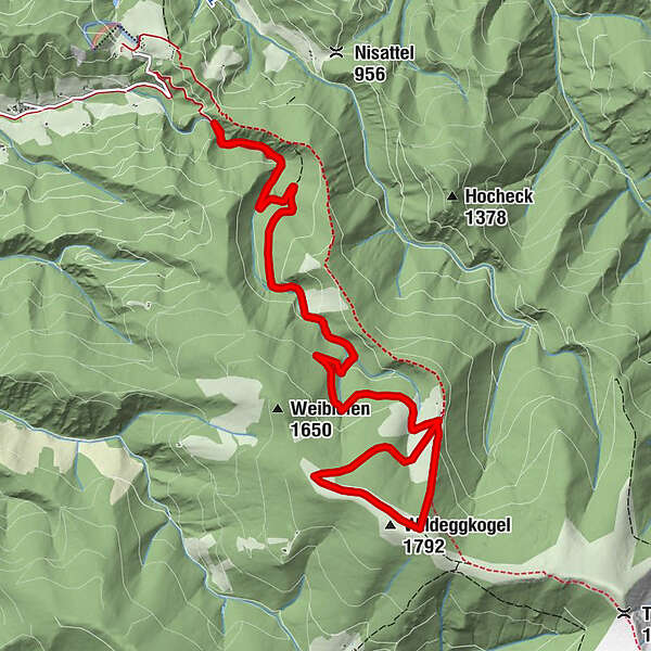
Wildeggkogel (1,792 m)7.5 km
- Best season
-
AugSepOctNovDecJanFebMarAprMayJunJul
- Description
-
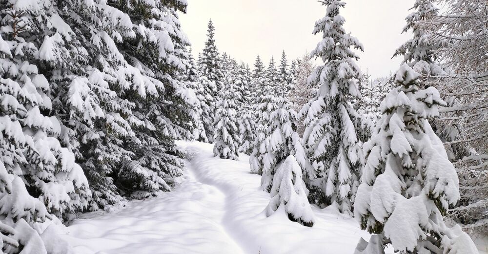
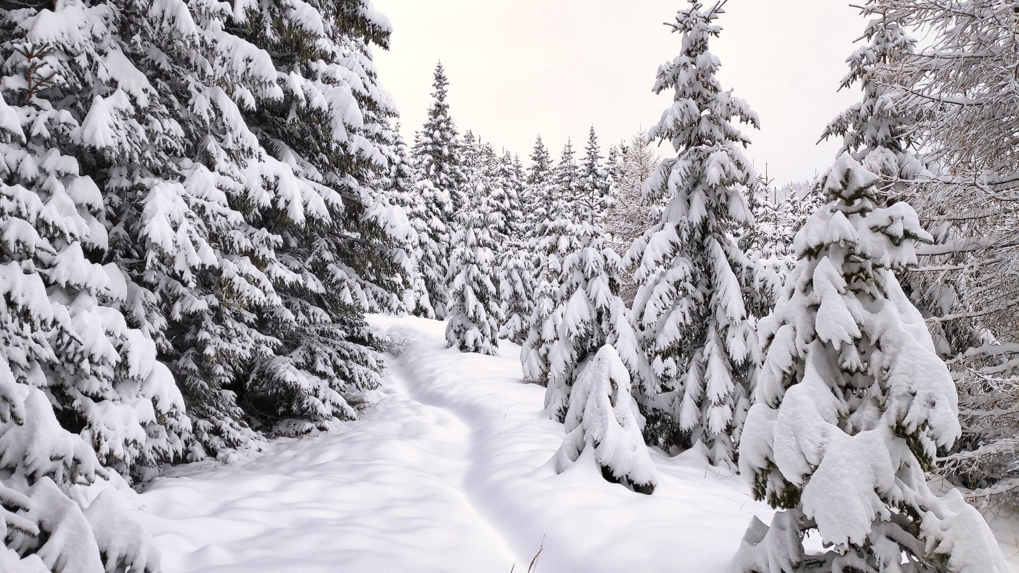
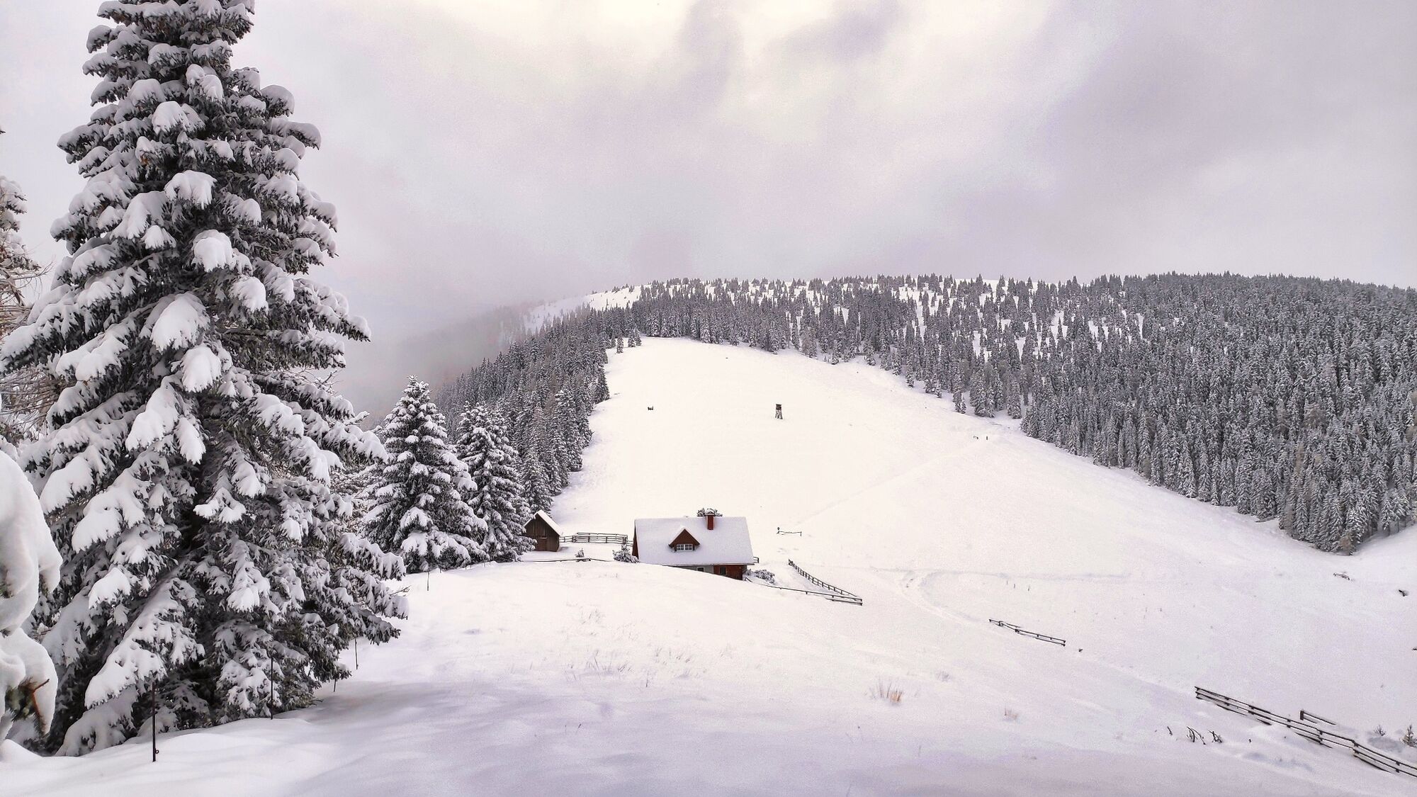
The geographical center of Styria is only a stone's throw away from our tour starting point in the Murtal adventure region. You may not feel the center, but you will enjoy the magnificent terrain, which is made for snowshoe hikers and presents itself in the national colors of white and green. Even though there are more than 800 meters of altitude to overcome, this snowshoe tour cannot be described as strenuous, as it leads along forest roads throughout. They are popular with snowshoe hikers because they are mostly laid out on a uniformly gentle incline. Another advantage that should not be underestimated is that they are easier to find in the sometimes deeply snow-covered terrain than narrow hiking trails. In short, this hike is a successful, well-balanced snowshoe tour on the north side of the Gleinalpe with a wonderful view of the Judenburg-Knittelfeld basin.
- Directions
-
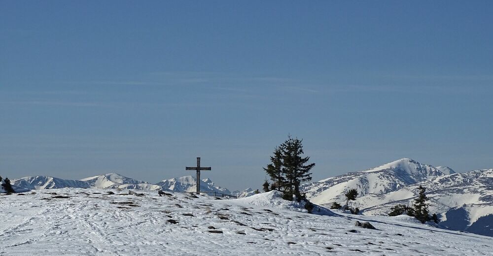
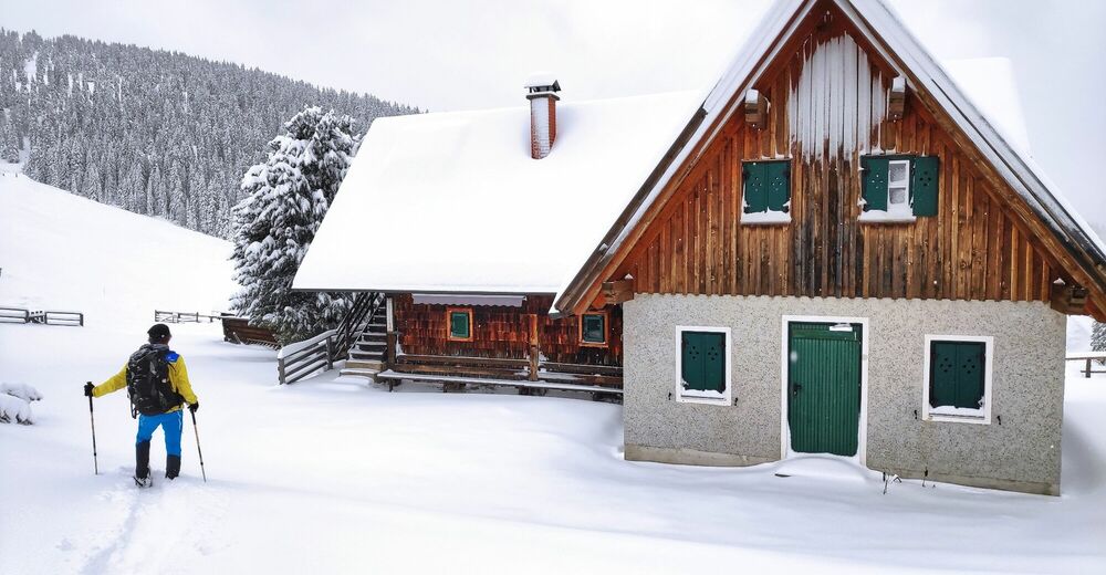
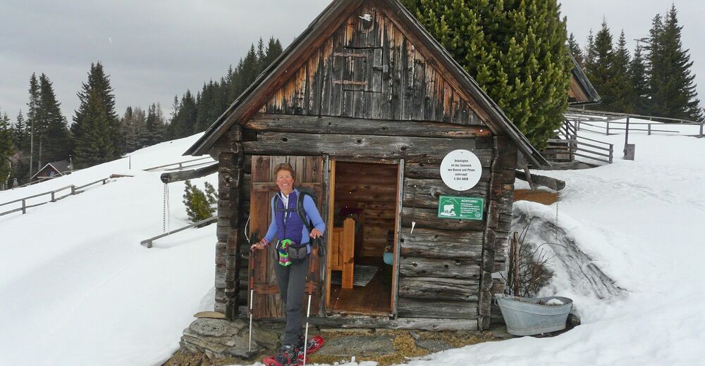
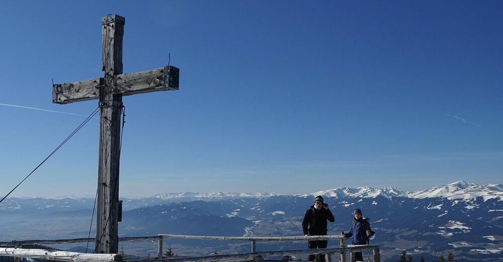
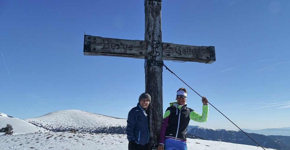
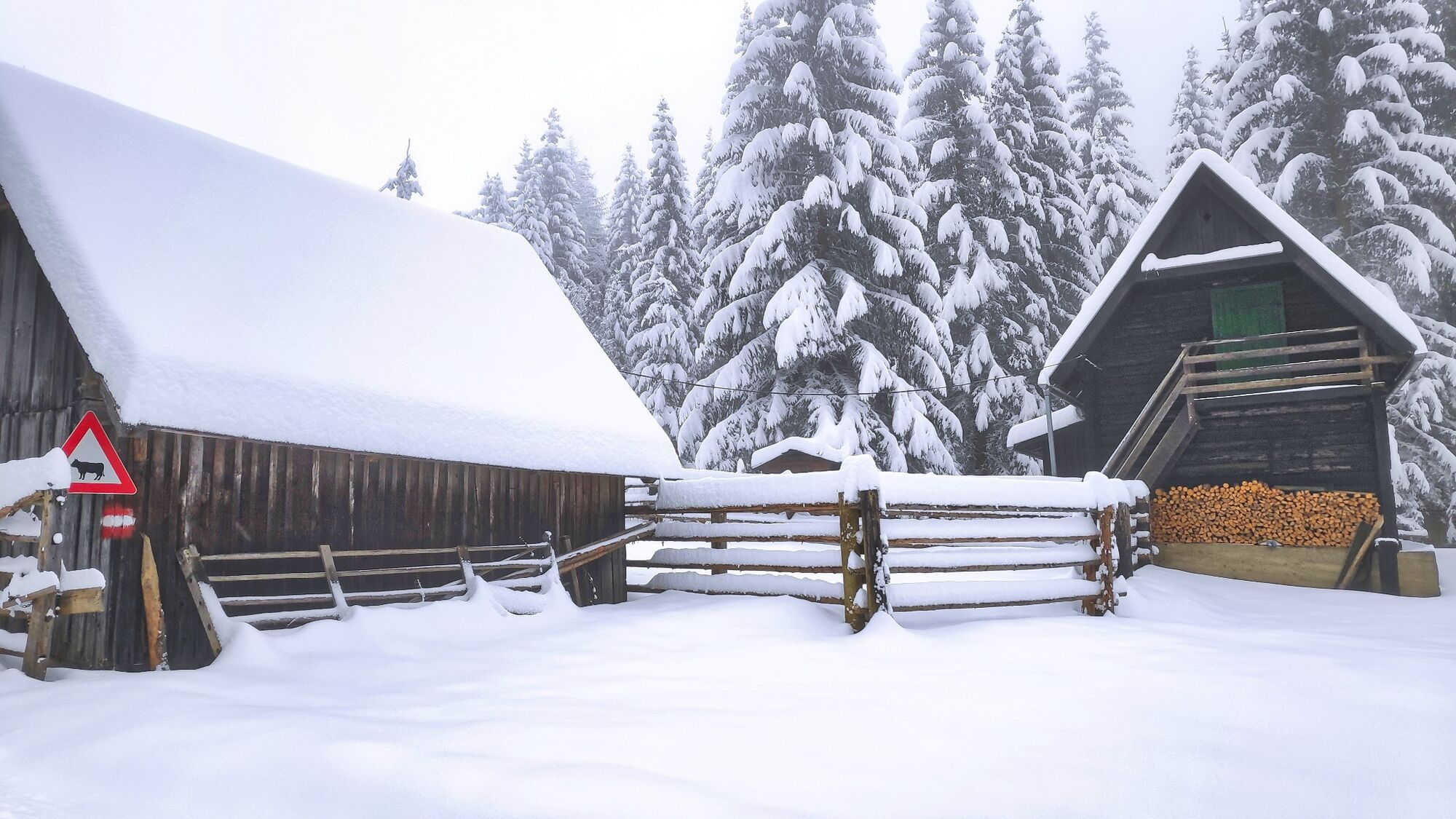
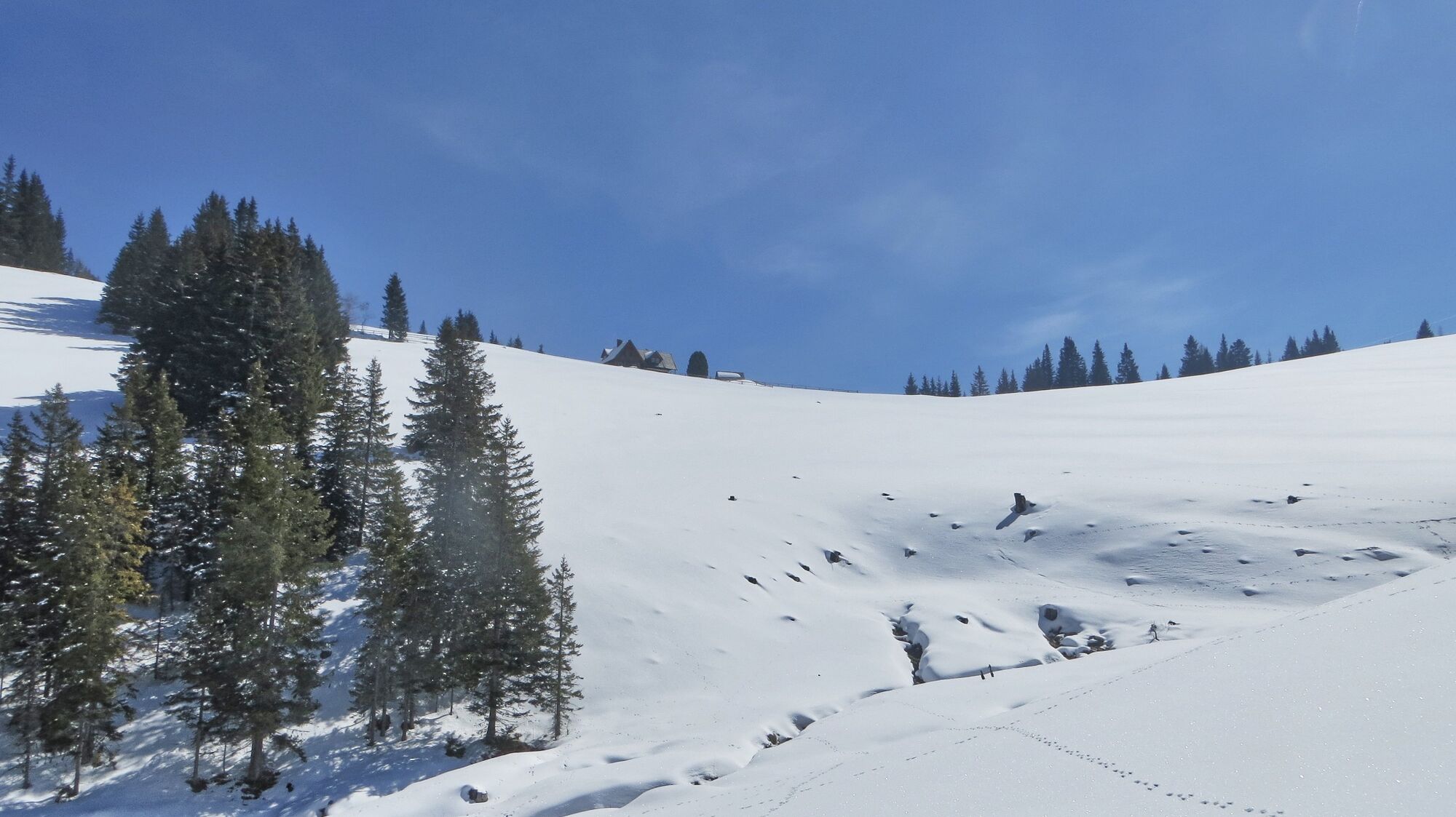
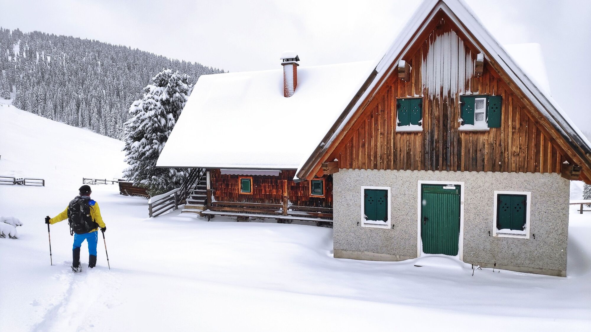
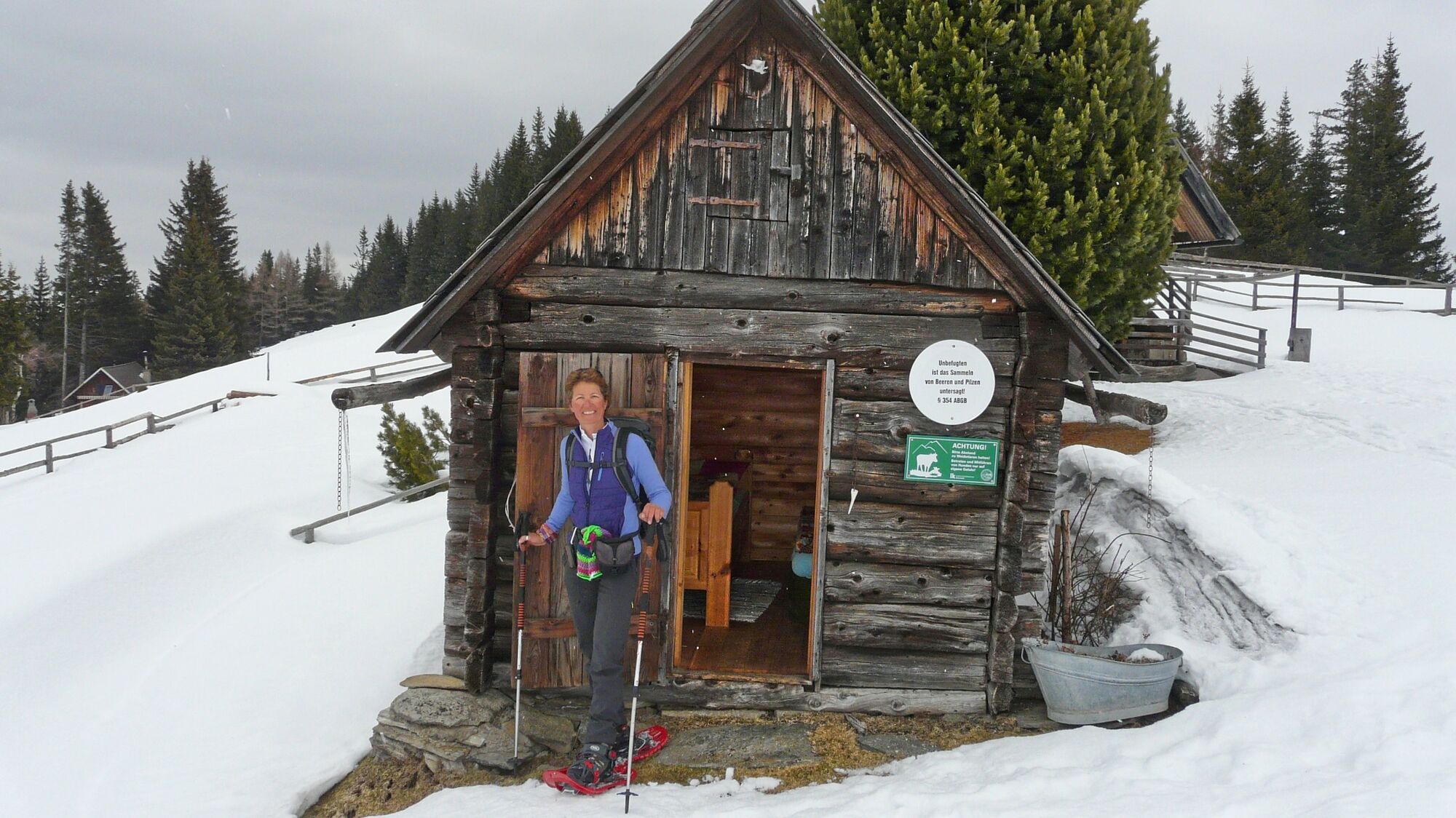
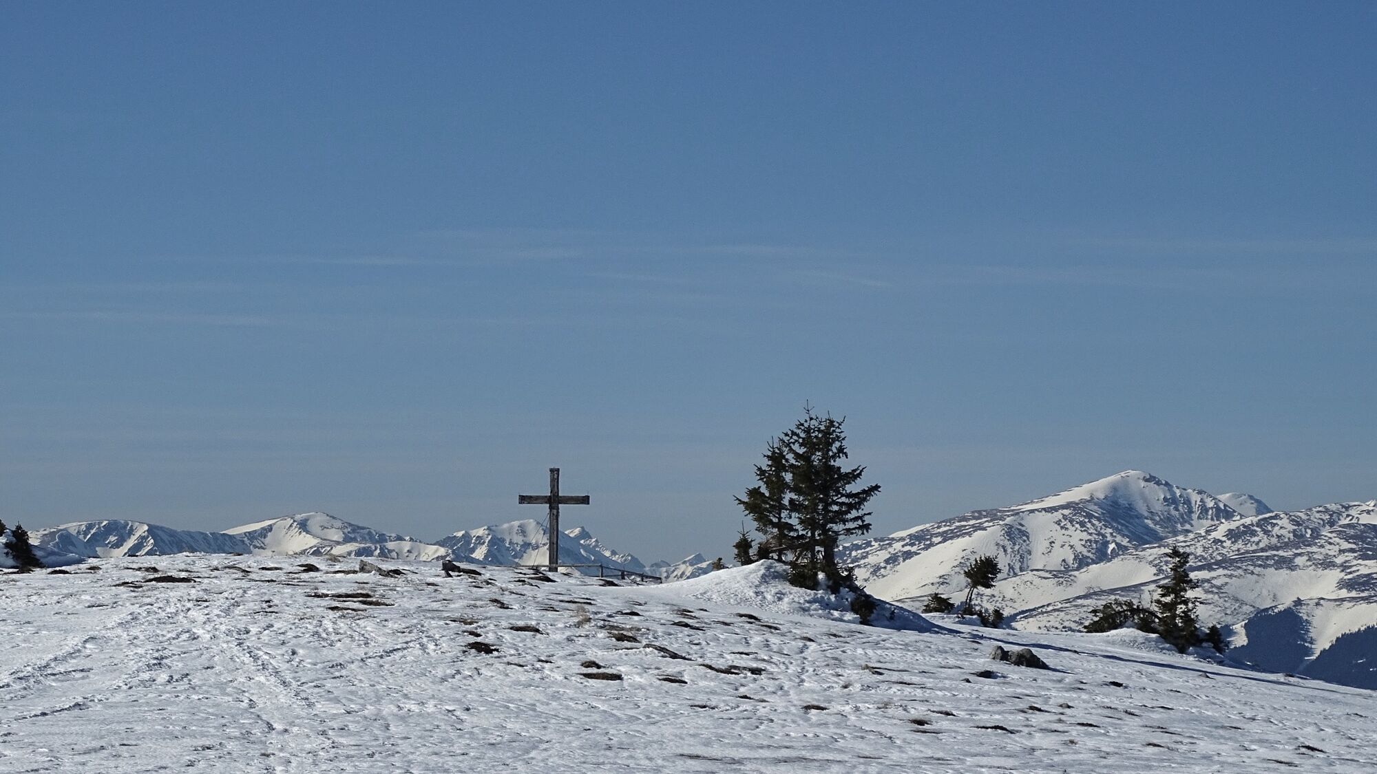
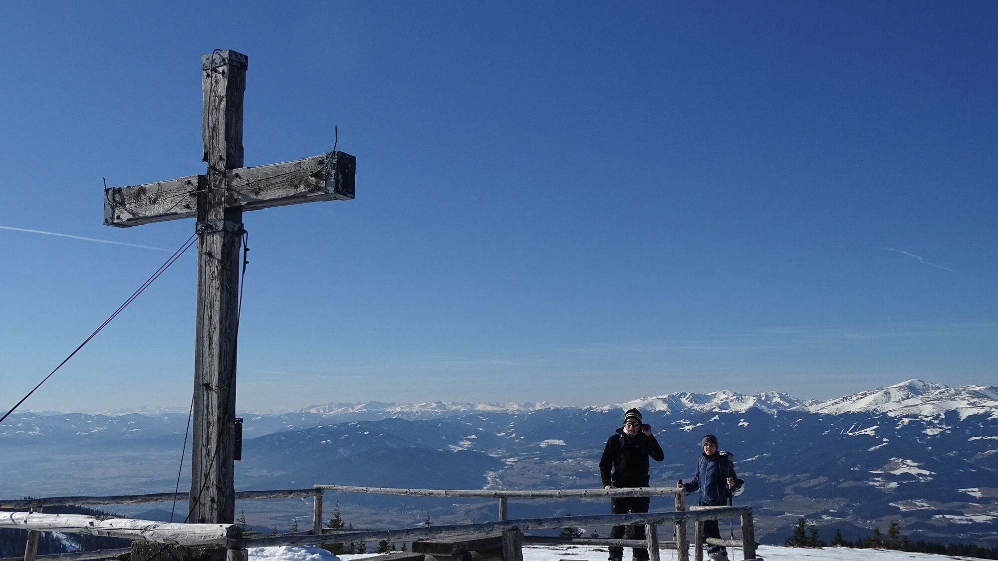
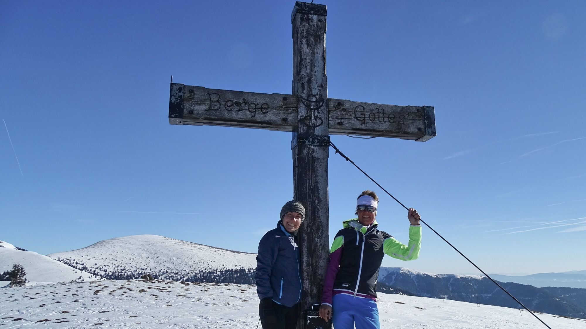
From our starting point, the parking area at the barrier (1), 1009 m, we walk along the forest road, past the Untere Vorderleitenhütte (2), 1281 m, until we come out of the forest and see the buildings of the Obere Vorderleitenhütte (3), 1578 m, in front of us. The summit area is directly in front of us to the south, which we can also see from the ski and snowshoe tracks. The more leisurely ascent, however, leads us uphill to the right until we recognize the cutting of the forest road at the edge of the forest. Now we go uphill to the ridge and then continue to the left until we reach - the summit cross already in view - the Wildeggkogel (4), 1792m. Here we have a wonderful view of the surrounding mountain ridges and the Mur valley. The descent follows the ascent route, whereby we take the direct line from the summit to the Obere Vorderleitenhütte.
- Highest point
- 1,786 m
- Endpoint
-
(Few) parking facilities just before a barrier, 1009 m
- Height profile
-

- Equipment
-
Apart from the most necessary equipment, such as snowshoes, poles, etc., we recommend that you bring orientation aids (bus pole, map, GPS), avalanche transceiver, probe and shovel. We have taken this checklist from the Rother Snowshoe Guide Styria and summarized it for you, so that it will be helpful for your next snowshoe hike.
SnowshoesTelescopic poles with snow plateWaterproof mountain boots or lined winter mountain bootsBackpack: If the snowshoes have to be carried, a backpack with a lid buckle is necessary.Gloves: waterproof and warmingHeadgearGaiters: If there are no closable leg cuffs on the pants.Pants: Ski pants are rather not recommended, because they are often too warm, but we need waterproof and warming pants.Warming outerwear: Onion layering system, t-shirt, sweater, jacket and winter jacket with hood.Sunglasses: Very important, as snow reflects up to 95% of the light.Creams: Protective measures for the skin are important against both the sun and the cold.Headlamp: In winter it gets dark early, especially in the forest it can often be very dark when dusk begins.Thermos: On cooler days a warming drink is pleasant.Snack or snackFirst aid kit Other important items of equipment:
Cell phoneTour descriptionMap: For overview a map in scale 1:50.000 of the respective region and a detailed plan of the hikeGPS deviceavalanche transceiver (LVS), shovel and probeThis list and also the safety instructions have been summarized by the authors of the Rother Snowshoe Guide Styria. You are welcome to use these texts, but we kindly ask you to mention the copyright "Rother Schneeschuhführer Steiermark".
- Safety instructions
-
When choosing a snowshoe tour, weather, snow and avalanche situation are essential criteria. Basically, the decision of the tour depends on your own experience and basic physical condition. In advance, factors such as weather, avalanche situation report and equipment must be clarified in detail. A clear description of how to prepare for a snowshoe hike can be found in the Rother Snowshoe Guide Styria from page 14 to 20. Even if you have prepared perfectly, you must also take into account the given weather and snow conditions and the physical condition of the day during the hike itself. Thus, there is one important basic rule: please turn around if the hike becomes too strenuous or if the external conditions require it.
Walking times: The indicated walking time is to be understood as a guideline, as it depends on the snow conditions, the terrain and the presence of a trail. The individual condition and the stamina for strenuous trail work also play an important role. Sometimes the duration of the tour can change considerably due to large amounts of new snow, broken slush, soft sulzing snow, etc.
Alpine emergency call:
Mountain rescue emergency number: 140
EU emergency number: 112
Avalanche info:
Weather service:
Direct link mountain weather Styria:
https://www.zamg.ac.at/cms/de/wetter/produkte-und-services/bergwetter/steiermark
- Additional information
- Directions
-
From St. Michael in Upper Styria via the Murtal expressway S36 (vignette required) to the exit "Kraubath". Over the highway and the Mur bridge over and to the right over the L553 to Preg, 596 m. From there turn left into and about 5 km along the Preggraben in the direction of Almgasthof Spitzer. Shortly before the inn, the road branches off to the right in the direction of Vorderleitenhütte, which leads to the parking area. (20 km, approx. 30 minutes).
From Judenburg via the Murtal expressway S36 (vignette required) to the exit "St. Lorenzen". From there, continue along the side road to the highway until you reach a fork to the right, which leads over a bridge over the Mur past a gravel works to Preg, 596 m. In Preg to the left in and approx. 5 km along the Preggraben in the direction of Almgasthof Spitzer. Shortly before the inn, the road branches off to the right in the direction of Vorderleitenhütte, which leads to the parking area. (39 km, approx. 40 minutes).
By car to snowshoe hiking - a few things to watch out for!
Good winter tires are an absolute MUST!Ice scraper, snow broom, de-icer for the door locks and a small shovel are part of the basic equipment.Put snow chains and a tow rope in the car, even if you are not good with them yourself. Helping and knowledgeable hikers are always available on the mountain!Clear the car completely of snow and ice, especially sweep off the roof of the car completely.When parking, make sure you leave room for other motorists.Always park so that the rest of the roadway remains clear for cars, logging trucks, and snow removal vehicles.Find out about the snow situation on the access road or parking facilities before setting off. (hut host, webcams)
- Public transportation
-
There is no public transport connection to the starting point of the tour.
General information about public transport to the region: www.verbundlinie.at
Murtal Taxi, Tel.: +43 660 1018101, 8740 Zeltweg, www.murtal-taxi.at
Cab Jäger, Tel.: +43 3512 44833, 8720 Knittelfeld
Cab Steiner, Tel.: +43 3512 71718, 8720 Knittelfeld
- Parking
-
Few parking just before a barrier, 1009 m.
- Author
-
The tour Snowshoe hike Wildeggkogel is used by outdooractive.com provided.