
- Brief description
- Difficulty
-
easy
- Rating
-
- Starting point
-
Parking on the pass Hohentauern (in the center of the village)
- Route
-
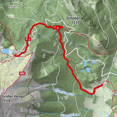
Hohentauern0.0 kmPfahlbaudorf4.6 kmKeltenstube4.6 kmHohentauern5.4 kmTriebener Tauern (1,274 m)5.4 km
- Best season
-
AugSepOctNovDecJanFebMarAprMayJunJul
- Description
-
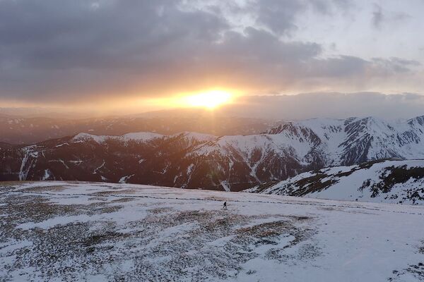
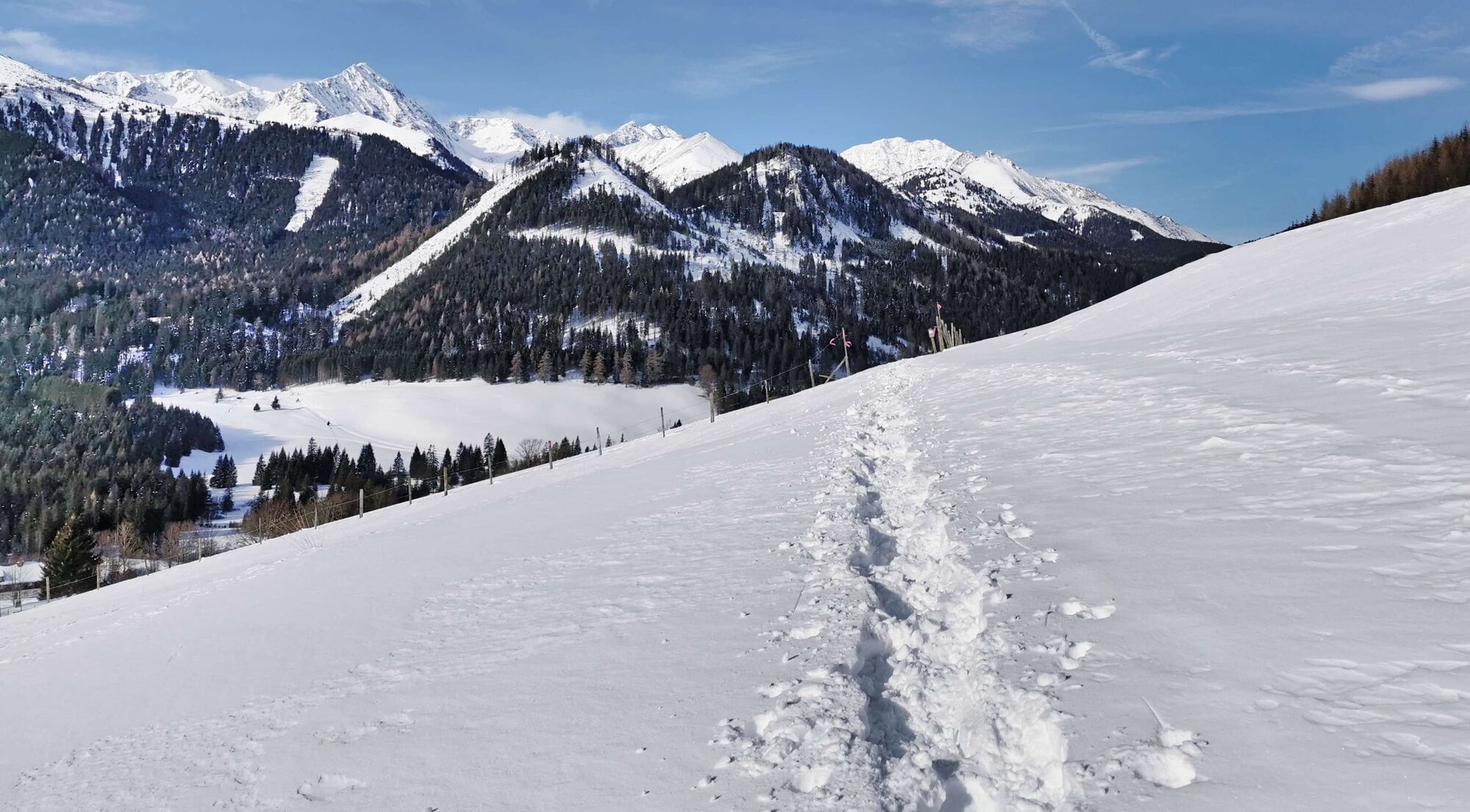
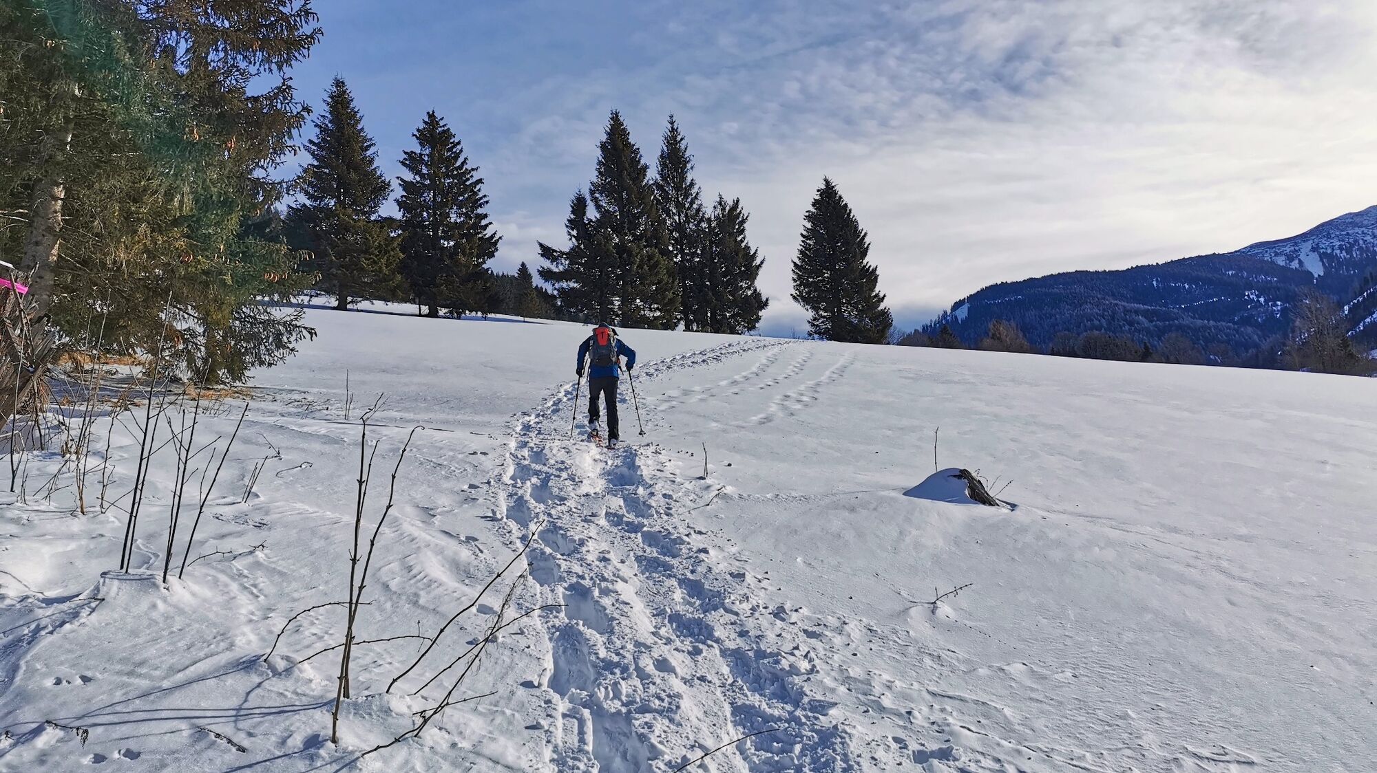
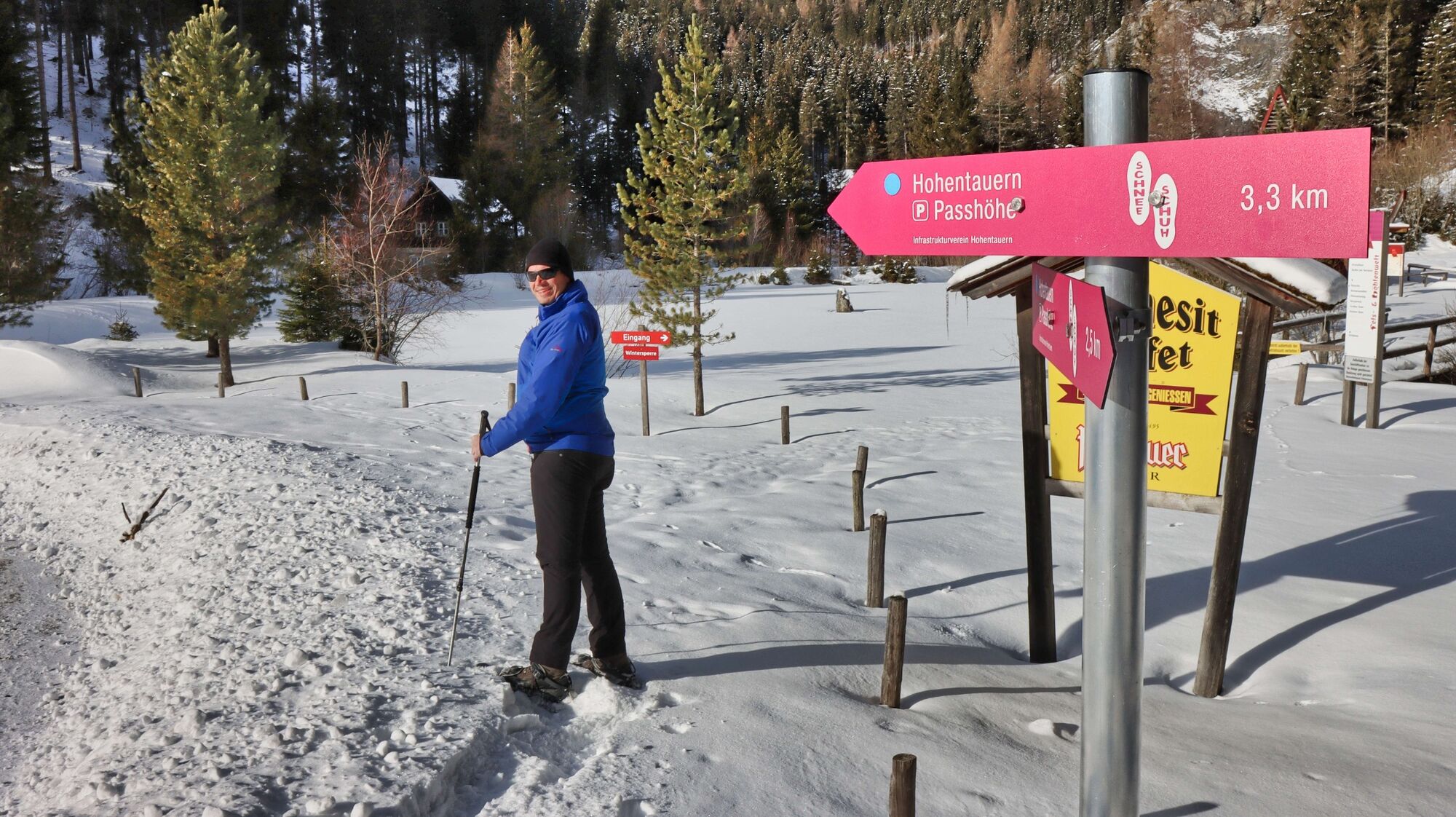
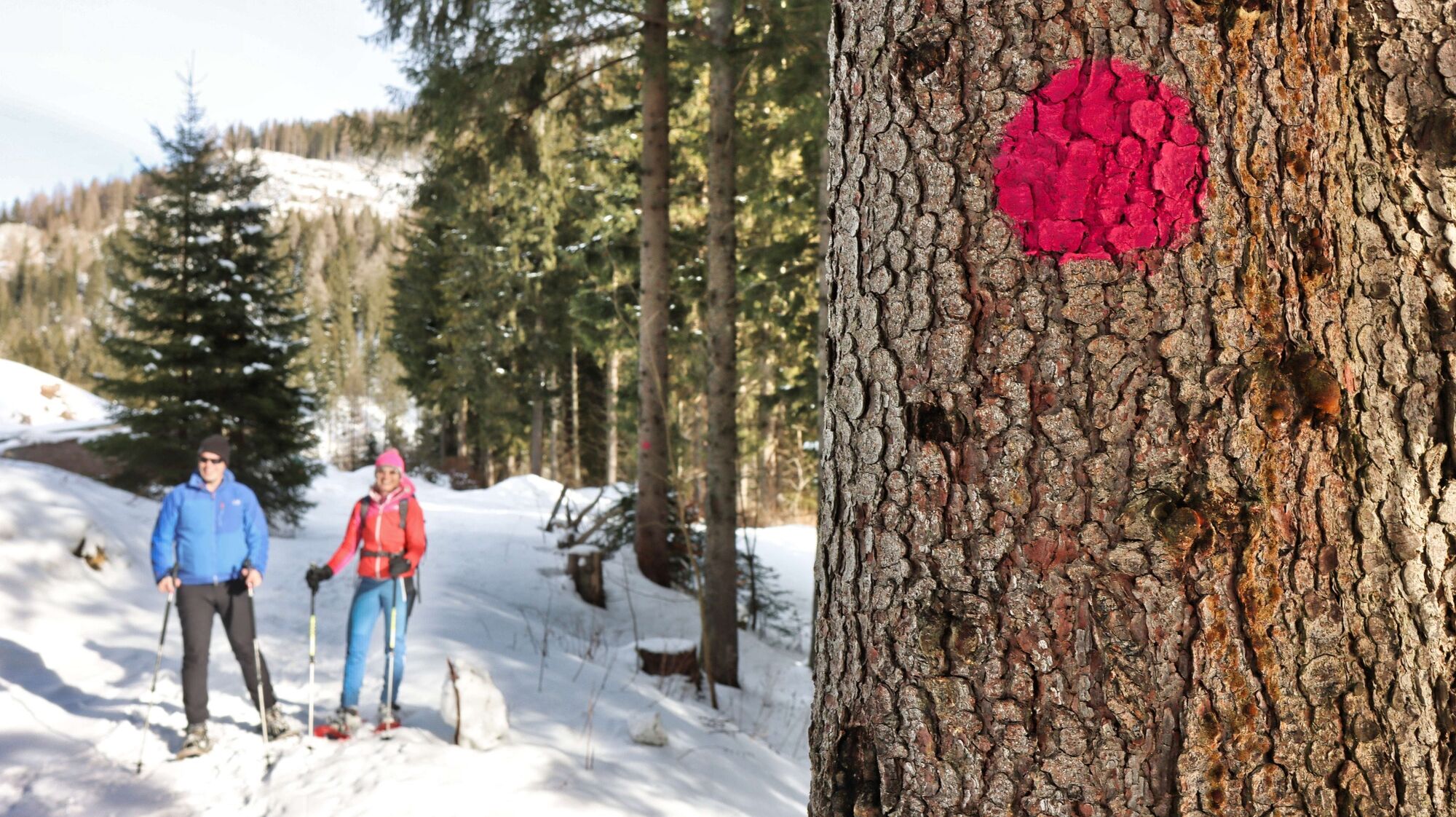
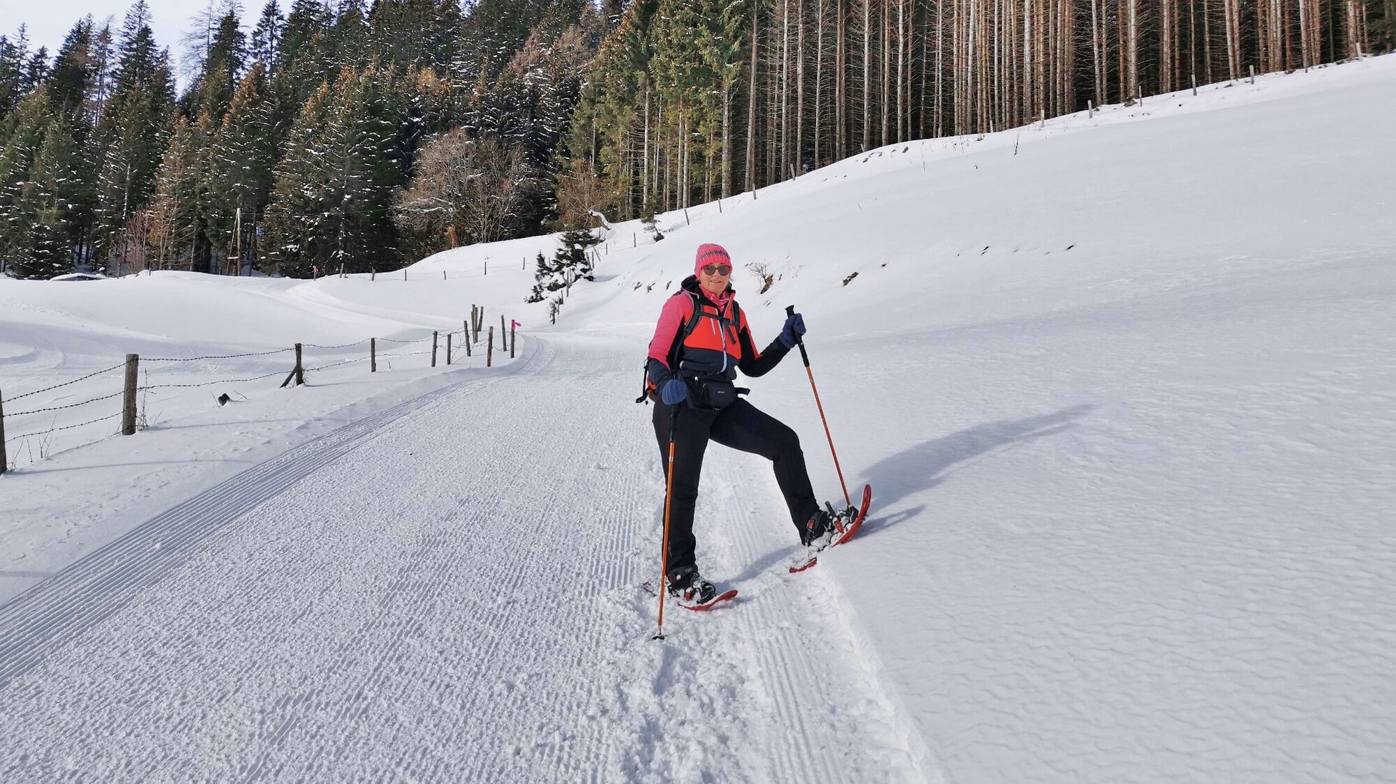
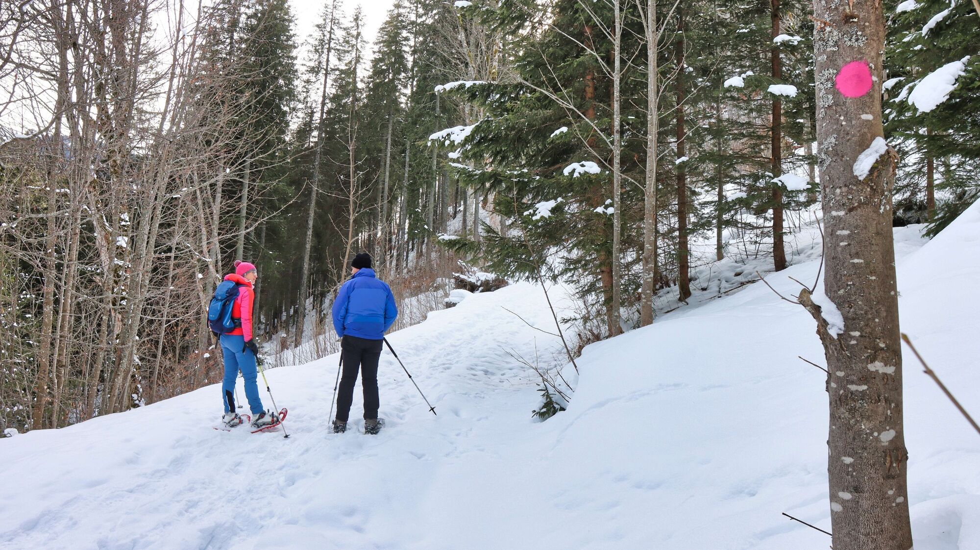
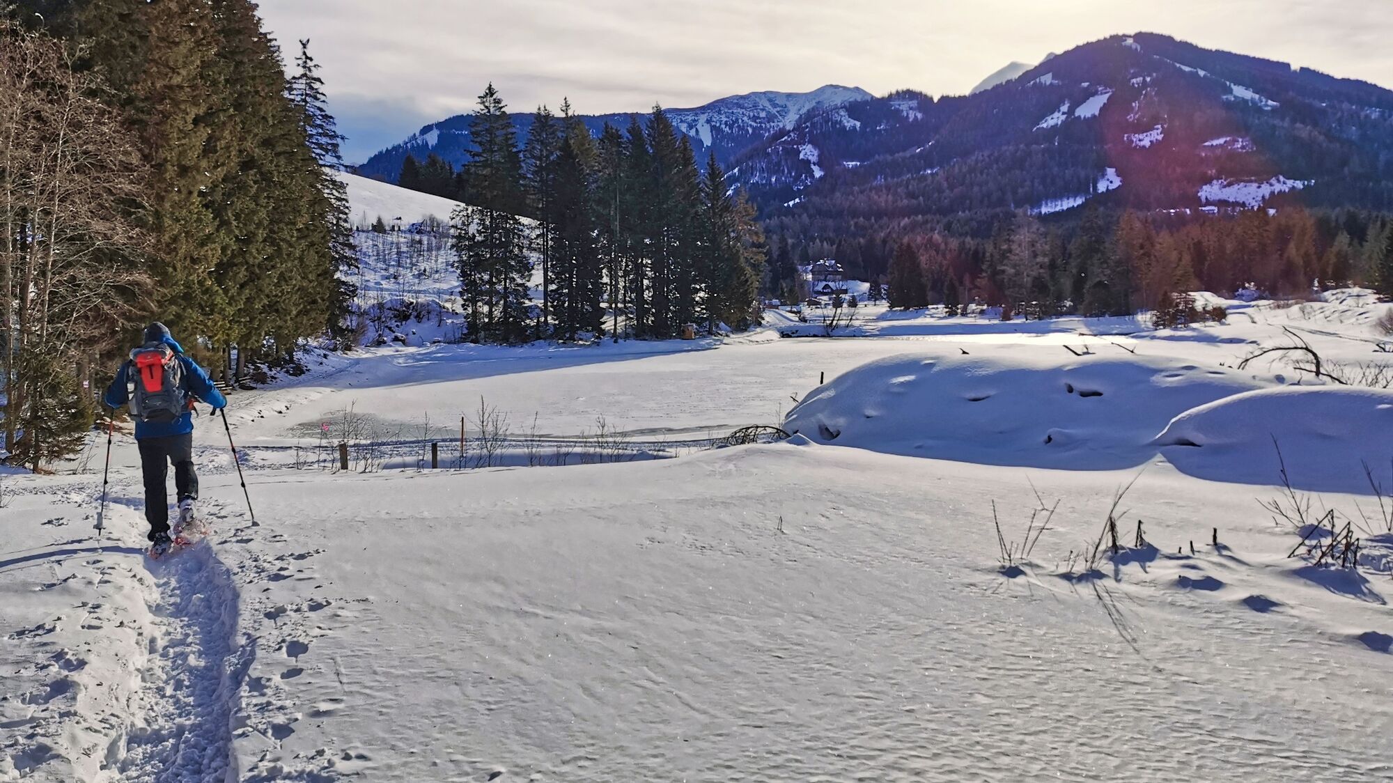
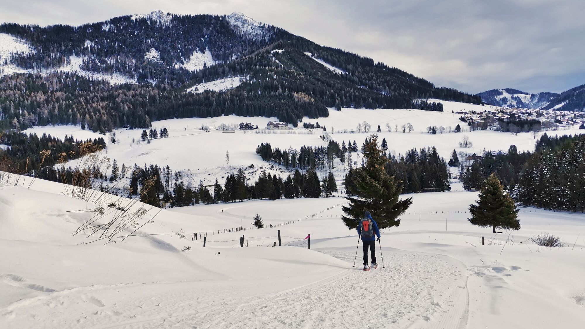
The pass landscape of Hohentauern in the Murtal adventure region is wonderfully suited for snowshoe hiking. The soft-formed terrain, the large meadow areas, the numerous ponds and the view of the surrounding mountains make for a perfect snowshoe area. In the winter of 2021/22, four routes based on the European recommendations for marked snowshoe trails were realized in the region. For the most part, the routes follow existing hiking trails and have been made "snowshoe-ready" with additional red-white-red markings. If the route branches off from an existing hiking trail, pink circular markings on the trees serve as orientation. Hohentauern's motto "A little closer to heaven" definitely applies to the snowshoe circular hiking trail, as the route leads through a wonderfully relaxing landscape and the enjoyment can be felt in a variety of ways.
- Directions
-
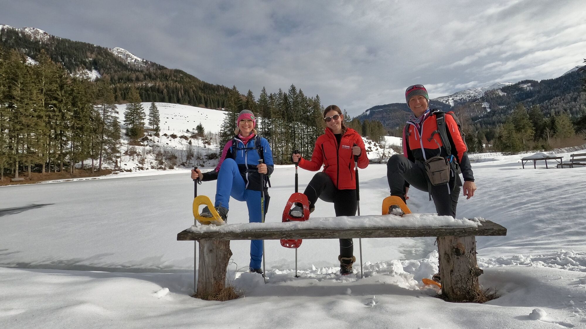
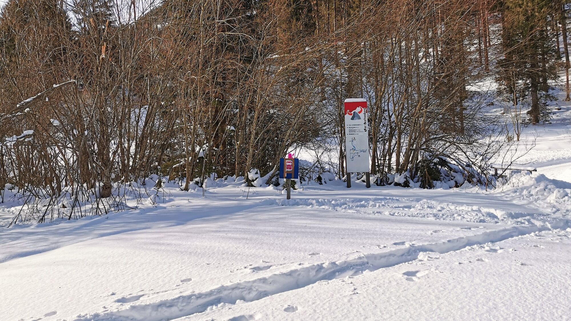
We start at the parking lot at Passhöhe Hohentauern (1), 1274 m, and orient ourselves by the pink signposts. We walk along the asphalt road, past the reception "Almdorf Hohentauern", until we reach the first crossroads, where we keep to the right. Slightly uphill we pass the houses of the Scheippl settlement until we reach the end of the populated area. After the last building we see pink directional arrows, which make the entrance clear. Now we draw our tracks across the meadow areas, keeping diagonally to the right, in the direction of the fence passage. Continuing downhill, we come directly to a road or ponds and continue to the right. Shortly after, we leave the road, turn left and continue, passing directly by the ponds. At the end of the last pond - Wuitzteich (3), 1182 m, we reach a crossing point. We go right, slightly uphill and follow the road to the site of the rock and cave world (3), 1161 m. After the bridge immediately left and as a result uphill until we reach the upper edge of the Ingerlwiese and enjoy the views. Continue straight ahead until you reach the crossroads at the toll road. Here you can see the pink markings on the trees diagonally opposite on the left, which now clearly show us the way through the forest. The marked trail leads parallel to the road to the bridge or to the pile-dwelling village. We walk along the road, past the pond and keep left at the junction, follow the road uphill for a bit and see the groomed winter hiking trail on the right, which takes us directly to the elementary school and thus also to our starting point.
- Highest point
- 1,283 m
- Endpoint
-
Parking on the pass Hohentauern (in the center of the village)
- Height profile
-

- Equipment
-
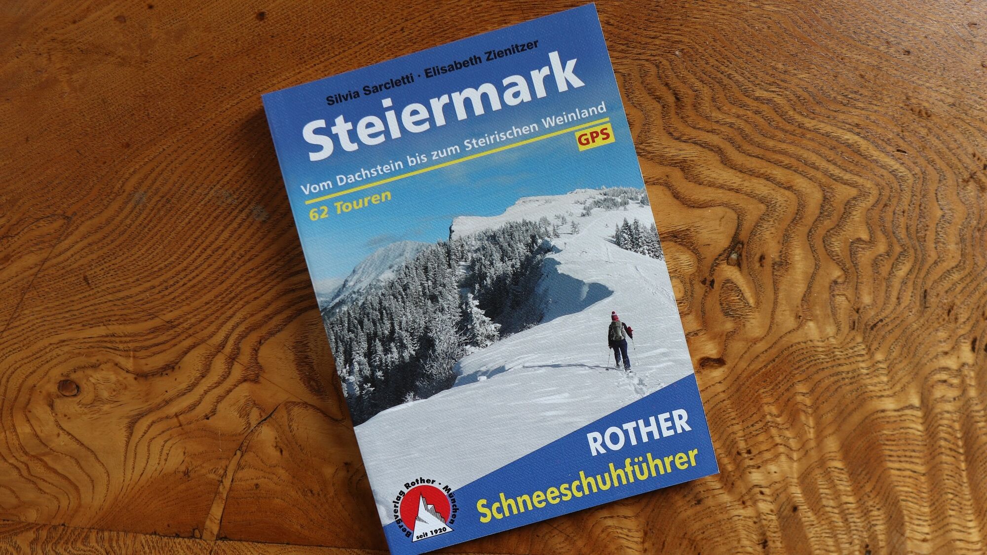
Apart from the most necessary equipment, such as snowshoes, poles, etc., we recommend that you bring orientation aids (bus pole, map, GPS), avalanche transceiver, probe and shovel. We have taken this checklist from the Rother Snowshoe Guide Styria and summarized it for you, so that it will be helpful for your next snowshoe hike. Snowshoes Telescopic poles with snow plate Waterproof mountain boots or lined winter mountain boots Backpack: If the snowshoes have to be carried, a backpack with a lid buckle is necessary. Gloves: waterproof and warming Headgear Gaiters: If there are no closable leg cuffs on the pants. Pants: Ski pants are rather not recommended, because they are often too warm, but we need waterproof and warming pants. Warming outerwear: Onion layering system, t-shirt, sweater, jacket and winter jacket with hood. Sunglasses: Very important, as snow reflects up to 95% of the light. Creams: Protective measures for the skin are important against both the sun and the cold. Headlamp: In winter it gets dark early, especially in the forest it can often be very dark when dusk begins. Thermos: On cooler days a warming drink is pleasant. Snack or snackFirst aid kit Other important items of equipment: Cell phone Tour description Map: For overview a map in scale 1:50.000 of the respective region and a detailed plan of the hike GPS deviceavalanche transceiver (LVS), shovel and probe
This list and also the safety instructions have been summarized by the authors of the Rother Snowshoe Guide Styria. You are welcome to use these texts, but we kindly ask you to mention the copyright "Rother Schneeschuhführer Steiermark".
- Safety instructions
-
When choosing a snowshoe tour, weather, snow and avalanche situation are essential criteria. Basically, the decision of the tour depends on your own experience and basic physical condition. In advance, factors such as weather, avalanche situation report and equipment must be clarified in detail. A clear description of how to prepare for a snowshoe hike can be found in the Rother Snowshoe Guide Styria from page 14 to 20. Even if you have prepared perfectly, you must also take into account the given weather and snow conditions and the physical condition of the day during the hike itself. Thus, there is one important basic rule: please turn around if the hike becomes too strenuous or if the external conditions require it.
Walking times: The indicated walking time is to be understood as a guideline, as it depends on the snow conditions, the terrain and the presence of a trail. The individual condition and the stamina for strenuous trail work also play an important role. Sometimes the duration of the tour can change significantly due to large amounts of new snow, broken slush, soft sulzing snow, etc.
Alpine emergency call:
Mountain rescue emergency number: 140
EU emergency number: 112
Avalanche info:
Weather service:
Direct link mountain weather Styria:
https://www.zamg.ac.at/cms/de/wetter/produkte-und-services/bergwetter/steiermark
- Tips
-
There is another marked snowshoe hike to the Edleraute hut
- Additional information
- Directions
-
From Trieben an der Pyhrn freeway A 9 via B114 to Hohentauern (12 km, approx. 20 minutes).
From Judenburg via the B114 to Hohentauern (42 km, approx. 45 minutes).
By car to snowshoeing - a few things to watch out for!
- Good winter tires are an absolute MUST!
- Ice scraper, snow broom, de-icer for the door locks and a small shovel belong to the basic equipment.
- Put snow chains and a tow rope in the car, even if you are not good with them yourself. Helping and knowledgeable hikers are always available on the mountain!
- Clear the car completely of snow and ice, especially sweep off the roof of the car completely.
- When parking, make sure you leave room for other motorists.
- Always park so that the rest of the roadway remains clear for cars, logging trucks, and snow removal vehicles.
- Find out about the snow situation on the access road or parking facilities before setting off. (hut host, webcams)
- Public transportation
- Parking
-
Large parking lot in the center of the village

- Author
-
The tour Hohentauern circular hike - marked snowshoe trail is used by outdooractive.com provided.


General info
-
Gesäuse
72
-
Grimming - Donnersbachtal
32
-
Hohentauern
12