- Brief description
-
Magnificent mountain tour through the largest apple-growing area in Austria and the largest low mountain pasture area in Europe.
- Difficulty
-
difficult
- Rating
-
- Starting point
-
St. Ruprecht an der Raab - Main Square
- Route
-
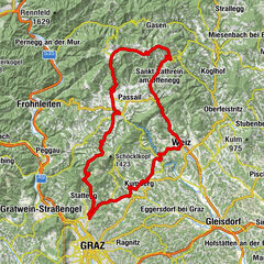
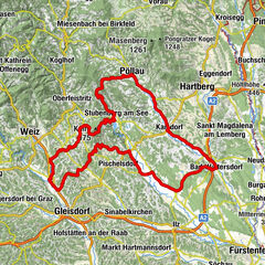
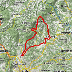
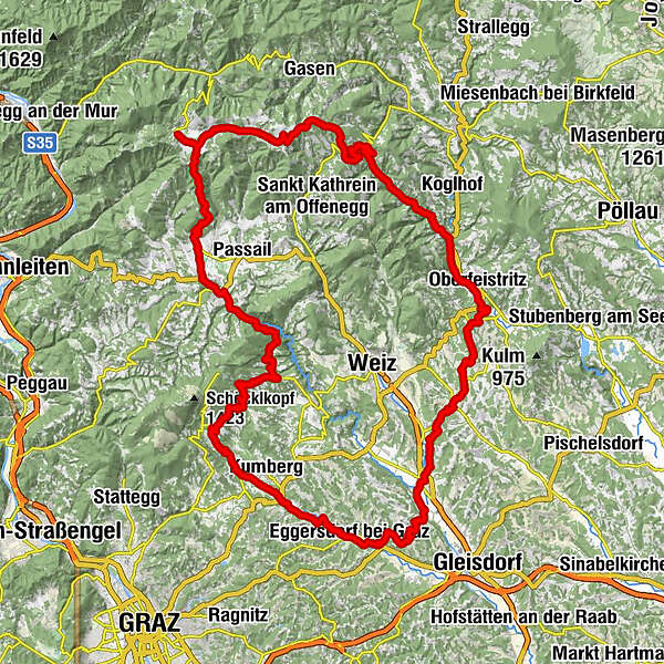
Sankt Ruprecht an der RaabMariensäule0.0 kmFriedensgrotte0.0 kmPfarrkirche hl. Ruprecht0.0 kmNeudorf bei Sankt Ruprecht an der Raab2.3 kmWolga3.9 kmGasthof Schneider6.3 kmEtzersdorf6.4 kmLingstätten8.0 kmKlettendorf8.7 kmPerndorf9.7 kmIlzberg10.8 kmHohenilz11.9 kmOberfeistritz16.0 kmAnger18.4 kmPfarrkirche hl. Andreas18.4 kmSteg20.4 kmSchwaiger20.6 kmBachbauer21.9 kmOffenegg27.3 kmKirchenwirt31.7 kmWallfahrtskirche Heilbrunn31.7 kmHeilbrunn31.9 kmGasthof Zur schönen Aussicht32.8 kmGasthof Jagawirt33.0 kmBrandlucken33.1 kmStoakoglhütte37.2 kmSommeralm (1,400 m)39.0 kmSommeralmkapelle39.1 kmHoldahütt'n40.5 kmHolzmeister43.2 kmMoospeter Hütte45.1 kmAngerwirt48.8 kmFladnitz an der Teichalm56.9 kmGasthof Höfler "Zur Kraltaverne"57.1 kmSt. Nikolaus57.1 kmGollersattel (789 m)66.2 kmGarrach68.3 kmAltenhof69.1 kmBreitenfeld71.6 kmHöferbach73.9 kmKreuzwirt74.6 kmStockheim75.3 kmWillersdorf76.2 kmSankt Radegund bei Graz78.5 kmPfarrkirche St. Radegund78.6 kmDon Mauro78.6 kmEbersdorf80.5 kmRabnitzer Dorfkreuz82.6 kmRabnitz82.6 kmWollsdorf84.3 kmHoffeldsiedlung86.0 kmReiss Heuriger87.6 kmHart-Purgstall87.7 kmVolkersdorf87.9 kmKotzersdorf88.6 kmDorfwirt Eggersdorf90.7 kmWolf-Kapelle90.7 kmEggersdorf bei Graz90.8 kmStuhlsdorf91.7 kmBrodersdorf-Kühlhauser92.8 kmÖdt93.8 kmEhrenberg94.2 kmBrodingberg95.4 kmSchacherleiten97.7 kmRehgraben98.3 kmWinterdorf98.8 kmSankt Ruprecht an der Raab101.0 kmFriedensgrotte101.1 kmMariensäule101.1 km
- Best season
-
JanFebMarAprMayJunJulAugSepOctNovDec
- Description
-
Beautiful circular tour starting from St. Ruprecht an der Raab, which first takes us through the apple orchards and vineyards of Eastern Styria. After about 20 km, the ascent to the alpine pastures of the Almenland Nature Park starts. On the ride across the highest low mountain pasture area in Europe, we are really challenged, but rewarded by magnificent panoramic views. Finally, a fast and long descent back to the Raab Valley awaits us.
- Directions
-
Starting from St. Ruprecht an der Raab, we cycle north via Arndorf to the district of Neudorf. At a fork, keep to the right and after 400 m turn right again.
The rest of the route takes us through the Mühlwald forest to Etzersdorf. There we turn left and then right again in the direction of Puch bei Weiz.
After about 1.5 km in Lingstätten, we turn left and cycle via Ilzberg and Feistritz bei Anger to Anger, one of the main villages in the Feistritztal valley.After this section through the largest apple-growing area in Austria, the next section takes us into the Almenland Nature Park. Leaving Anger in a northerly direction, we turn left after about 2 km into the Naintschgraben.
From here on, the trail climbs steadily, the last stretch in some serpentines, up to the Brandluckn in the east of the Almenland.
The next few kilometres are certainly among the most beautiful racing bike routes in Austria: to the south and east, the panoramic view extends into eastern Styria all the way to Hungary; in front of us, the Grazer Bergland opens up, and to the north, the Hochschwab massif.
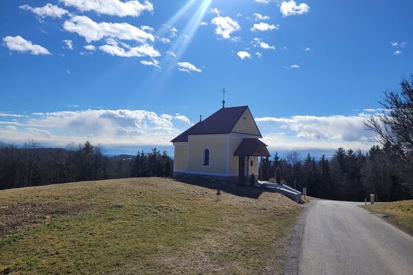
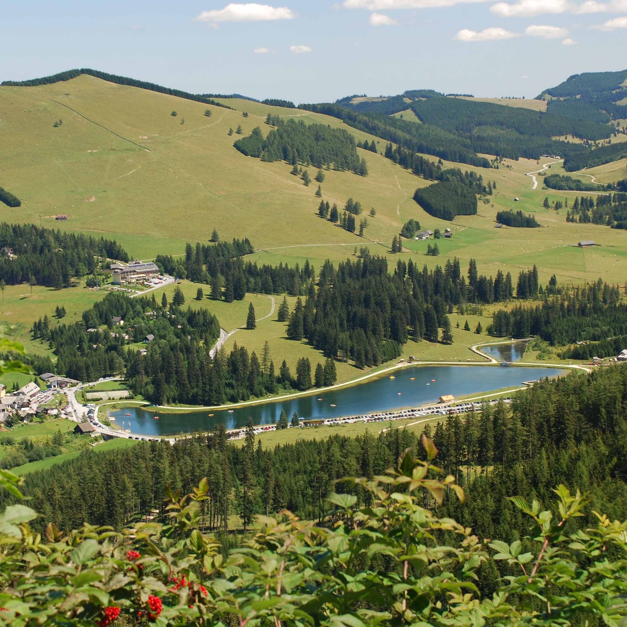
Via the Sommeralm, at 1,435 m above sea level the highest point of our tour, we head to the Teichalm, where we follow the Teichalm road southwards. Tip: at the Angerwirt we can also turn right to make a short detour to the Teichalmsee.Now follows a rapid descent to Fladnitz an der Teichalm. The trail continues straight on towards Arzberg, famous for its Arzberger Stollen cheese, which has won several awards worldwide.
South of the small town we continue biking along the winding road and Stenzengreith to the spa town of St. Radegund near Graz. If you are in the mood, you can take the cable car from here to visit Graz's local mountain, the Schöckl, with its 360-degree panoramic view.Heading south-east via the small settlement of Rabnitz near Kumberg, we now reach the B72, which we cross to reach Eggersdorf near Graz.
We follow the Stuhldorferstraße to the junction with the Eggersdorfer Landesstraße, keep to the right here, and after a few metres turn sharp left.
After a few metres, we also turn right to return to St. Ruprecht an der Raab via the Brodingberg and the district of Winterdorf. - Highest point
- 1,433 m
- Endpoint
-
St. Ruprecht an der Raab - Main Square
- Height profile
-

- Equipment
-
A technically perfect road bike will make your tour a pleasure.
Sporty clothing is advisable. Bike helmet! A first aid kit is always a must. A basic set of tools and accessories - such as spare inner tube, repair kit, wrench/puller, air pump - never hurts. Bike map, pocket knife, cell phone holder for the handlebars if necessary, headlamp and reflectors - Safety instructions
-
Fair play rules for cyclists
Plan your tour carefully! Check your bike before you set off! Always ride with the right protective equipment! Always ride with a helmet! Don't forget all your equipment (repair kit, first aid kit, etc.)! Only ride on marked paths! Observe the road traffic regulations! Observe driving bans and keep to opening times! Control your speed! Do not leave any tracks! Respect other nature users! Show consideration for animals (ride in daylight & close pasture fences)! Avoid noise and garbage! Use the cycle paths at your own risk! Beware of working machines, wood or potholes on the road, grazing livestock and vehicle traffic (forest roads are working areas and workplaces)!A few tips on correct and fair behavior: Cycling and mountain biking in the forest (oesterreich.gv.at)
Important telephone numbers:
European emergency number: 112 Emergency call mountain rescue: 140 (if possible, please provide GPS data) Rescue: 144 Fire department: 122 Police: 133 - Tips
-
Drive over the largest low mountain pasture area in Europe with impressive views and numerous culinary stops along the tour.
- Additional information
- Directions
-
The market town of St.Ruprecht an der Raab is located in Eastern Styria and is very easy to reach via the A2 motorway from Vienna (approx. 2 hours) and Graz (approx. 30 min.).
- Arrival from Vienna and from Graz: On the A2 from Vienna and from Graz, take motorway exit 161 / Gleisdorf West in the direction of B54/B64. Follow the B65 / Gleisdorf federal road until you reach the B54 / Wechselbundesstraße. At the roundabout take the second exit to the B64 / Rechberg-Bundesstraße. After about 6 km turn left to St. Ruprecht an der Raab.
- Public transportation
- Parking

-

-
AuthorThe tour Apfelland & Almenland Tour is used by outdooractive.com provided.