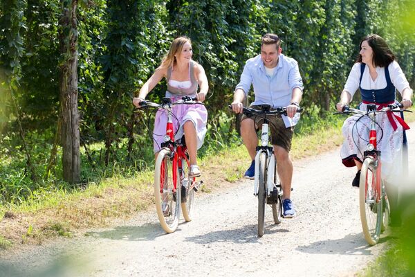
- Brief description
-
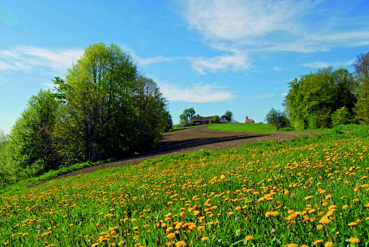
A tour on the western edge of the region with the possibility of connecting to the Leibnitz area.
- Difficulty
-
medium
- Rating
-
- Starting point
-
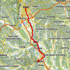
Train station Spielfeld
- Route
-
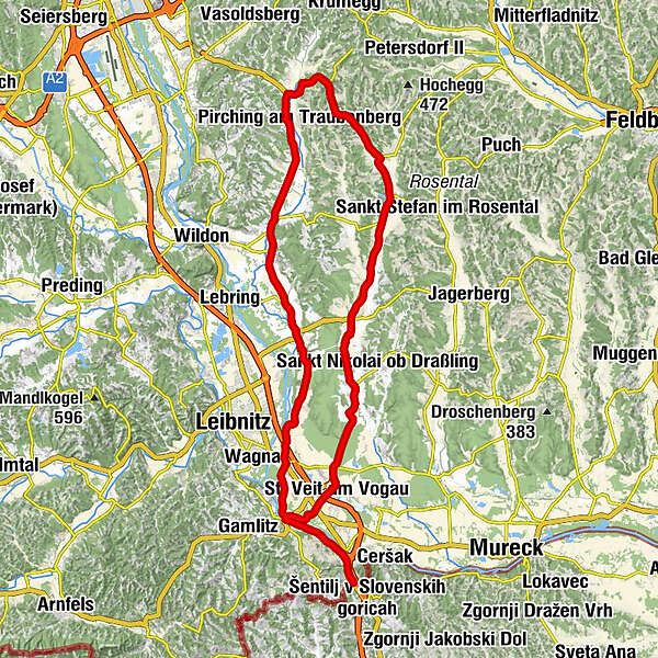
Marc's Dinner0.8 kmSpielfeld1.7 kmGasthaus Sternad1.8 kmSpielfeld-Straß2.3 kmEhrenhausen an der Weinstraße6.0 kmEhrenhausner Viertel6.3 kmObervogau8.5 kmDorfgasthaus Obervogau8.7 kmLandscha an der Mur10.6 kmGabersdorf12.8 kmNeudorf an der Mur14.3 kmHotel Restaurant Hesch14.4 kmSajach16.8 kmLaubegg18.3 kmRagnitz19.7 kmGundersdorf20.7 kmForellenwirt Maurer21.1 kmHaslach an der Stiefing21.6 kmGerbersdorf24.7 kmGerbersdorf25.9 kmÖsterreicher27.6 kmGroßfeiting28.5 kmFruhmann28.5 kmSiebing28.6 kmFelgitsch31.0 kmKleinfelgitsch31.8 kmHeiligenkreuz am Waasen33.8 kmPfarrkirche hl. Kreuz33.8 kmGasthaus Hirschenwirt34.6 kmProsdorf35.7 kmGuggitzgraben36.8 kmBerggastshof Fink41.2 kmZerlach43.6 kmMarienkapelle43.8 kmKirchbach in Steiermark45.8 kmPfarrkirche hl. Johannes der Täufer45.8 kmGlatzau47.7 kmKapelle Glatzau47.9 kmZiprein49.8 kmSeibuttendorf53.9 kmHainsdorf im Schwarzautal57.4 kmTechensdorf59.2 kmLeitersdorf60.8 kmLabuttendorf63.2 kmGrabin63.2 kmSt. Veit am Vogau67.8 kmGasthaus zur Weinstube68.2 kmGasthof zur Traube - Thaller68.3 kmKirchenwirt68.3 kmPfarrkirche St. Veit68.3 kmGong70.0 kmVogau70.8 kmEhrenhausner Viertel72.7 kmEhrenhausen an der Weinstraße73.0 kmSpielfeld-Straß77.0 kmSpielfeld77.2 km
- Best season
-
JanFebMarAprMayJunJulAugSepOctNovDec
- Description
-
You can leave everything behind you except for this tour.
Scenic tour on the western edge of the bike region. Combine your round with the bike map Leibnitz and discover a new amusement park nature.
Tour length: 77,4 km
Altitude difference: 480 hm
- Directions
-
Trail conditions: Asphalt 100%
E-BIKE ready
Route:
0.0 km - Spielfeld train station, turn left towards Ehrenhausen
4.0 km - Ehrenhausen train station, right over Mur bridge towards Leibnitz
4,3 km - traffic circle direction Leibnitz
6,0 km - After Genussregal turn right towards Straß
7,7 km - crossing half-left direction St. Veit
9,9 km - center of St. Veit right at church
10.2 km - St. Veit left at traffic circle
11,4 km - traffic circle direction Wolfsberg, Kirchbach
33,0 km - Kirchbach exit, left towards Graz
39.4 km - crossroads, straight towards Prosdorf
42.7 km - crossroads, left towards Leibnitz via Heiligenkreuz am Waasen
59.6 km - direction Gabersdorf via Laubegg
69.0 km - straight across intersection (chapel on the right)
69,4 km - traffic circle direction Obervogau
73,1 km - crossing direction right over the bridge to Spielfeld
77,4 km - railroad station Spielfeld
- Highest point
- 469 m
- Endpoint
-
Train station Spielfeld
- Height profile
-
 © outdooractive.com
 - Safety instructions
-
Please make sure you are dressed appropriately for the weather!
- Additional information
- Directions
- Public transportation
-
Detailed information about arriving by ÖBB (Austrian Federal Railways) can be found at www.oebb.at or on the Verbundlinie Steiermark website www.busbahnbim.at
With Verbundlinie’s BusBahnBim route planner app, planning your journey has never been easier: simply enter towns and/or addresses, stop names or points of interest to check all bus, train and tram connections in Austria. The app is available free of charge for smartphones – on Google Play and in the App Store
Use the offer train station in the city in Bad Radkersburg Tel 03476/2545 and Mureck Tel 03472/210527
If necessary, combine your tour with the cyclist cab:
-Family Sorko: Tel. 03476/3940 or 0664/3925227
-Wohlkinger minibus: Tel. 0664/5016673
-Citytaxi Mureck, Kerngast Reisen: Tel. 0664/3030330 - Parking
-
You can find public parking here:
-Altstadt Bad Radkersburg - max. parking duration of 90 minutes
-city park (Hasenheide) and city moat - max. parking duration 180 minutes
-permanent parking - north in Dr. Kamniker-Straße and east near the Thermenarena - max. parking duration one week
- Author
-
The tour Spielfeld round (Spielfeld Runde) is used by outdooractive.com provided.


General info
-
Südsteiermark
237
-
Bad Gleichenberg
169
-
Ragnitz
36