- Brief description
-
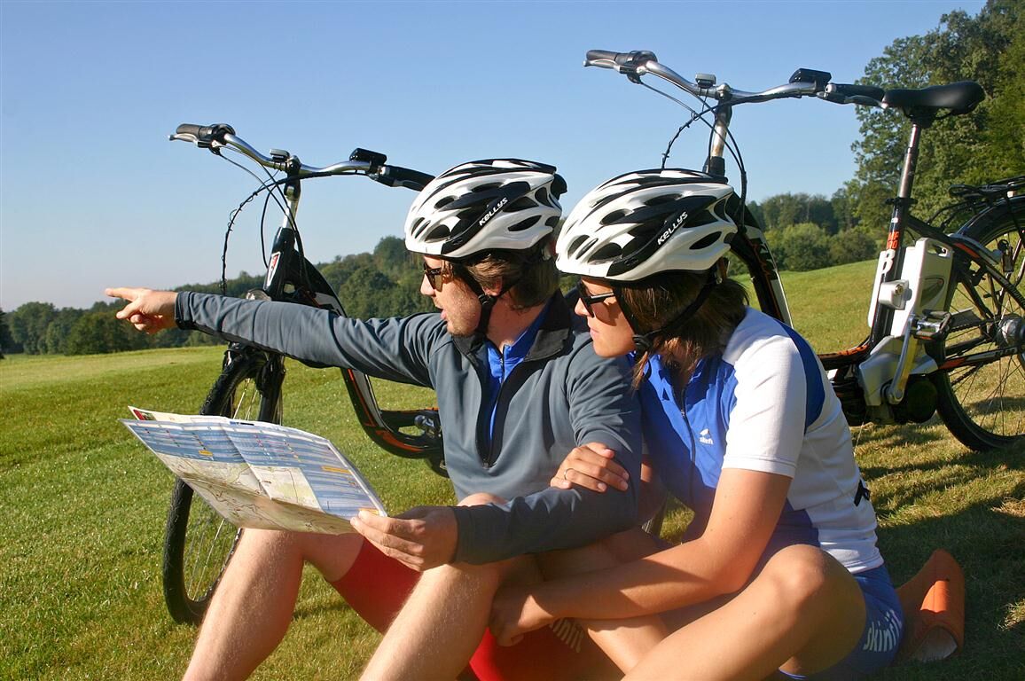
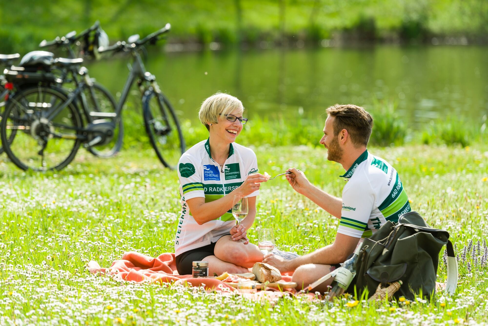
Flirting with electronic support
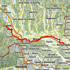
Border tour to the wheel discovery map west
- Difficulty
-
medium
- Rating
-
- Starting point
-
Information Office Bad Radkersburg
- Route
-
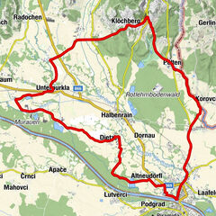
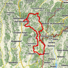
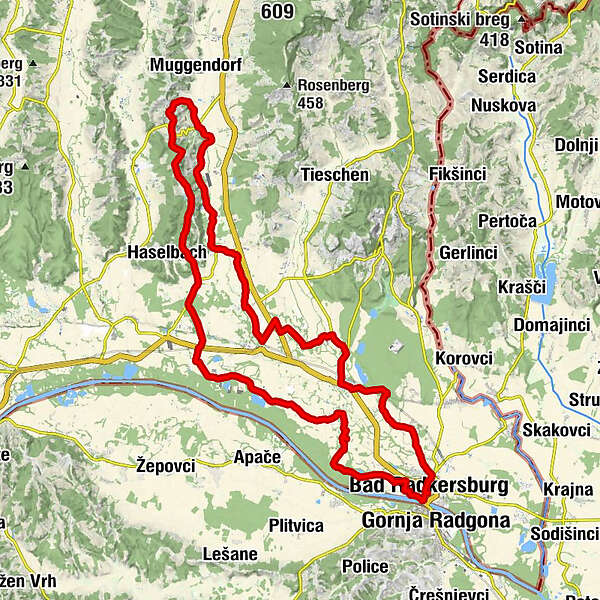
Bad Radkersburg0.0 kmPrentlkreuz1.4 kmPrentl1.9 kmAltneudörfl2.6 kmKapelle Dietzen6.6 kmDietzendörfl6.8 kmDietzen7.7 kmBettina's Stüberl7.9 kmUnterau9.8 kmKapelle Donnersdorf/Au10.5 kmDonnersdorf13.5 kmRadochenberg18.0 kmUnterkarlaberg19.8 kmSilberberg22.0 kmSankt Sebastian23.1 kmStraden23.1 kmSchwemm24.0 kmMarktl25.3 kmBulldogwirt25.8 kmJohannisbrunn25.8 kmOberkarla27.5 kmUnterkarla28.6 kmRadochen30.6 kmOberpurkla33.3 kmUnterpurkla34.8 kmGasthaus Schischek35.4 kmGroßgharter36.2 kmDrauchen38.6 kmGasthaus Wagner41.0 kmHalbenrain41.1 kmDornau43.8 kmHummersdorf45.1 kmChristuskirche Bad Radkersburg47.3 kmBad Radkersburg47.7 km
- Best season
-
JanFebMarAprMayJunJulAugSepOctNovDec
- Description
-
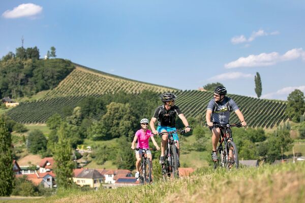
Experience the film "Rad total im Murtal" with a breathtaking nature stage set between Straden and Bad Radkersburg.
Enjoy the common kilometers with green mobility. We start in Bad Radkersburg and ride towards Liebmannsee to Dietzen and Donnersdorf. Here you can take a break at the community chapel Madlhof. After that we continue to Straden, from there you have a beautiful view of the countryside.
Back via Marktl, Unterkarla, Radochen we cycle to Oberpurkla. In Unterpurkla we reach the bike hotel Schischeck, here you can taste local delicacies. Back to Bad Radkersburg we cycle via Drauchen and Halbenrain.
- Directions
-
Tour length: 48,0 km
Requirement medium to high in the Straden area
City exit: Hauptplatz - Finanzamt - Therme - opposite ÖAMTC turn left onto Murradweg R2.
Route condition: Asphalt 100%
E-BIKE ready
- Highest point
- 362 m
- Endpoint
-
Information Office Bad Radkersburg
- Height profile
-

- Safety instructions
-
Please make sure to wear appropriate clothing for the weather, as well as suitable footwear!
- Tips
-
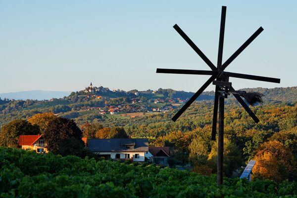
Discovery tips along the tour:
Madlhof chapel; Straden, regional overview point, Geißlerei De Merin in Straden; Johannisbrunn, museum triangle, Bulldogwirt.
- Additional information
- Directions
- Public transportation
-
Detailed information about arriving by ÖBB (Austrian Federal Railways) can be found at www.oebb.at or on the Verbundlinie Steiermark website www.busbahnbim.at
With Verbundlinie’s BusBahnBim route planner app, planning your journey has never been easier: simply enter towns and/or addresses, stop names or points of interest to check all bus, train and tram connections in Austria. The app is available free of charge for smartphones – on Google Play and in the App Store
- Parking
-
You can find public parking in the Stadtgraben, as well as at the Stadtpark - Hasenheide for a maximum parking duration for 180 minutes.
The two permanent parking lots "North and East" in Kamniker Street and at the Park Thermal Arena are for a maximum parking duration of one week.


- Author
-
The tour Partner-Tour is used by outdooractive.com provided.


General info
-
Südsteiermark
236
-
Region Bad Radkersburg
123
-
Halbenrain
43