HR4 - Sharrows - Feldbach mobile & sustainable to the destination


- Brief description
-
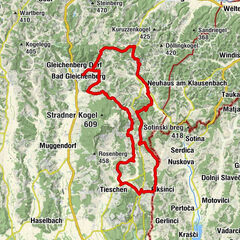
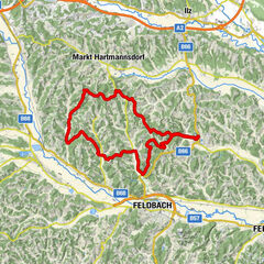
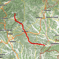
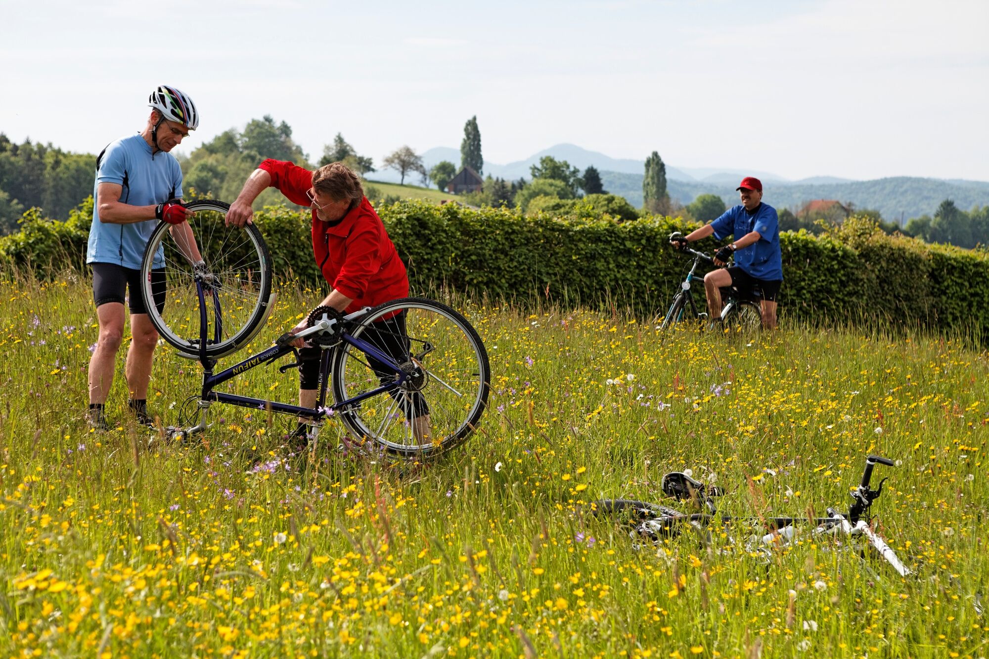
The main bike route HR4 leads from the service point Gniebing to the traffic circle of the ef shopping center Feldbach Ost. The route is marked with sharrows in orange.
- Difficulty
-
easy
- Rating
-
- Starting point
-
Servicestelle Gniebing
- Route
-
GniebingFeldbach2.6 kmGasthaus Theißl4.3 kmRaabau5.0 km
- Best season
-
JanFebMarAprMayJunJulAugSepOctNovDec
- Description
-
The Sharrows, a word combination of "share" and "arrow", are innovative ground markings for orientation for cyclists. They consist of a colored base surface with a cyclist pictogram and directional arrows for signposting. As a pilot region, the municipality of Feldbach has developed and implemented six main cycling routes in the municipal area together with the province of Styria as part of the cycling concept and has been very well supported by the province of Styria. Each of these main bike routes was assigned a color and thus the course in the municipal area is recognizable even without a bike path map.
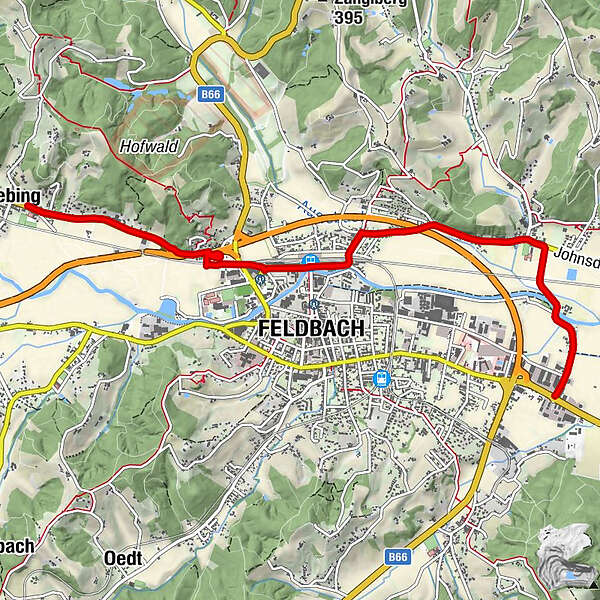
The HR4 leads from the service point Gniebing along the Raabauer Straße to the ef shopping center Feldbach Ost. You cycle north of the river Raab.
Opening of the "Sharrows" cycle paths
https://vulkantv.at/video/eroeffnung-der-radwege-in-feldbach/
- Directions
-
Start at the service point in Gniebing and follow the B68 towards the east. Turn right above the noise protection tunnel. You will come to Billek's Wirtshaus. Past the train station, the HR4 leads you to Raabau via Raabauer Straße. Turn right, cross the Raab river until you reach your destination - the ef Einkaufszentrum Feldbach Ost.
- Highest point
- 291 m
- Endpoint
-
Traffic circle Kika in ef shopping center Feldbach East
- Height profile
-

- Equipment
-
Touring bikes or city bikes are recommended. Tip: A basic equipment of tools and accessories such as spare inner tube and/or repair kit, spanner, air pump, brake and shift cable as well as a screwdriver can never hurt.
- Safety instructions
-
Emergency call mountain rescue: 140
ambulance: 144
European emergency call: 112
firefighters: 122
police: 133Tips when reporting an emergency – Answer these six WH questions: What happened? How many people are injured? Where did the accident happen (are there GPS coordinates)? Who is reporting the incident (callback number)? When did the accident happen? What is the weather like at the site of the incident?
- Tips
-
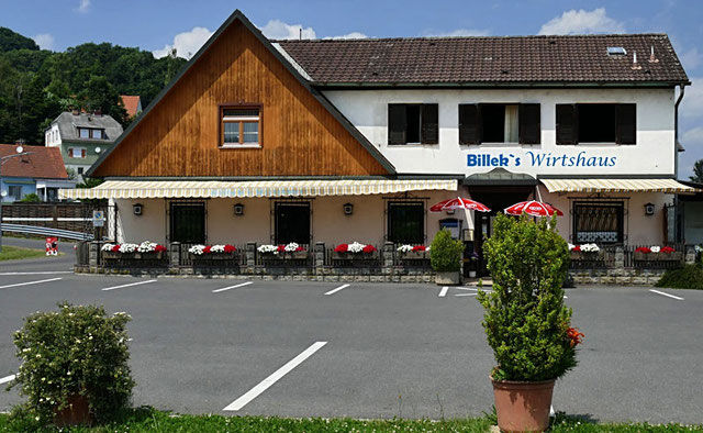
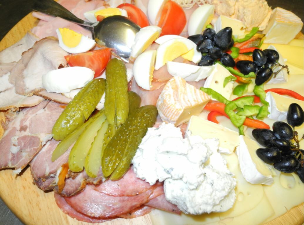
Take a break at Billek's Wirtshaus and enjoy Styrian hospitality.
- Additional information
- Directions
-
Coming from Graz:
Freeway A2 direction Vienna - exit Gleisdorf Süd - direction Feldbach B68
Coming from Vienna:
Freeway A2 direction Graz - exit Ilz/ Fürstenfeld - direction Feldbach B66 - Public transportation
-
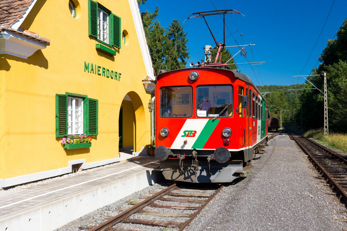
Detailed information about arriving by ÖBB (Austrian Federal Railways) can be found at www.oebb.at or on the Verbundlinie Steiermark website www.busbahnbim.at
With Verbundlinie’s BusBahnBim route planner app, planning your journey has never been easier: simply enter towns and/or addresses, stop names or points of interest to check all bus, train and tram connections in Austria. The app is available free of charge for smartphones – on Google Play and in the App Store
- Parking
-
There are sufficient parking spaces available.
Parking in the area of the city center:
The parking time is 2 hours. Parking in the shopping city of Feldbach is free of charge. A parking meter must be used and is available free of charge at the tourist office.P+R at Feldbach train station (no short-term parking zone). There are numerous parking spaces available.

- Author
-
The tour HR4 - Sharrows - Feldbach mobile & sustainable to the destination is used by outdooractive.com provided.


-
Oststeiermark
375
-
Feldbach
189
-
Feldbach
50