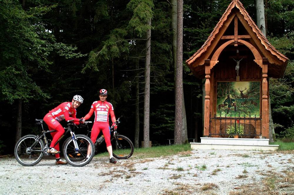
© Verein Mostwärts
Tour data
28.01km
335
- 532m
440hm
440hm
03:00h
- Brief description
-
Eine hügelreiche Radtour aus dem Südosten von Graz über den bekannten Luftkurort in das Raabtal.
- Difficulty
-
medium
- Rating
-
- Starting point
-
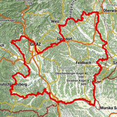
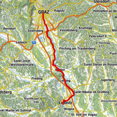
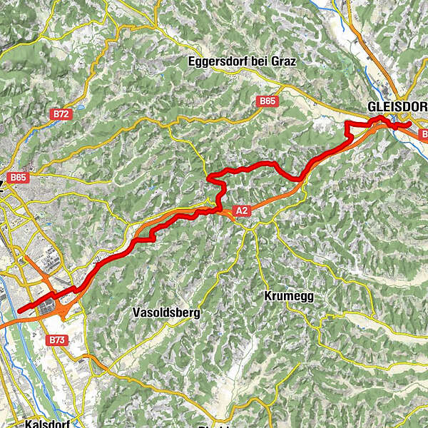
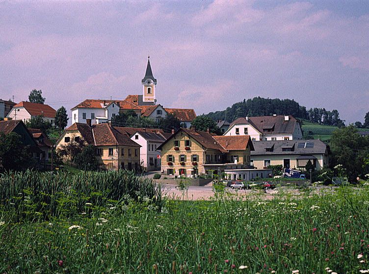
Graz / Murfeld
- Route
-
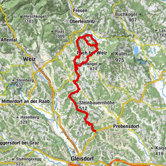
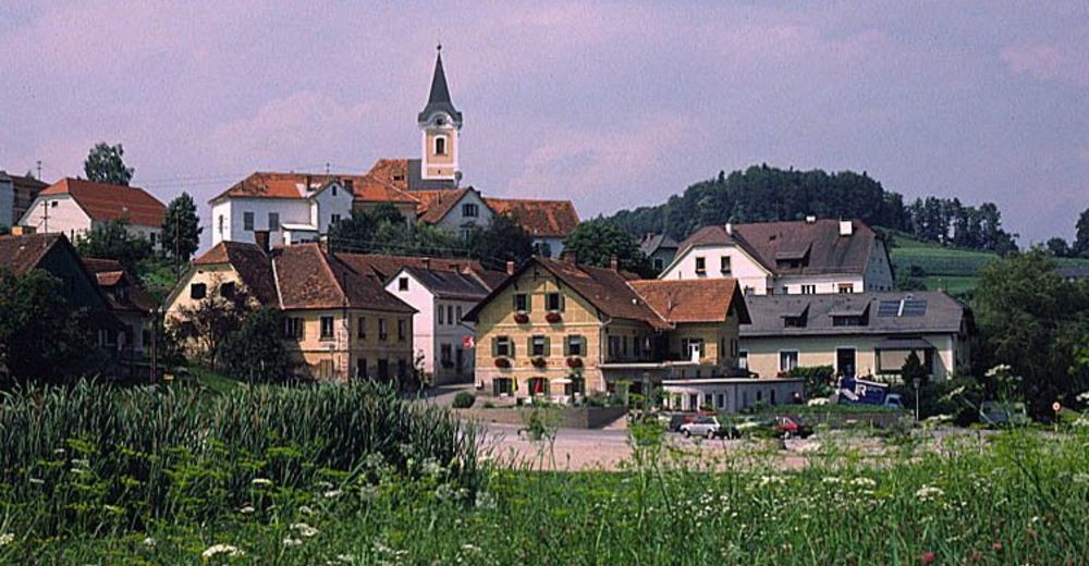
Sankt Christoph0.8 kmNeudorf0.8 kmRaabahof2.3 kmOrtskapelle Raaba2.4 kmRaaba3.3 kmPachern6.0 kmWöbling7.9 kmAutal9.2 kmKrachelberg10.2 kmBlick zur Riegersburg13.0 kmBucklberg (543 m)13.5 kmLaßnitzhöhe14.7 kmGusto14.8 kmLaßnitzhöhe15.3 kmOberlaßnitz15.9 kmMitterlaßnitz18.2 kmLaßnitzthal20.7 kmFlöcking23.1 kmLudersdorf25.4 kmMaurer25.7 kmGleisdorf27.8 km
- Highest point
- 532 m
- Endpoint
-
Gleisdorf
- Rest/Retreat
-
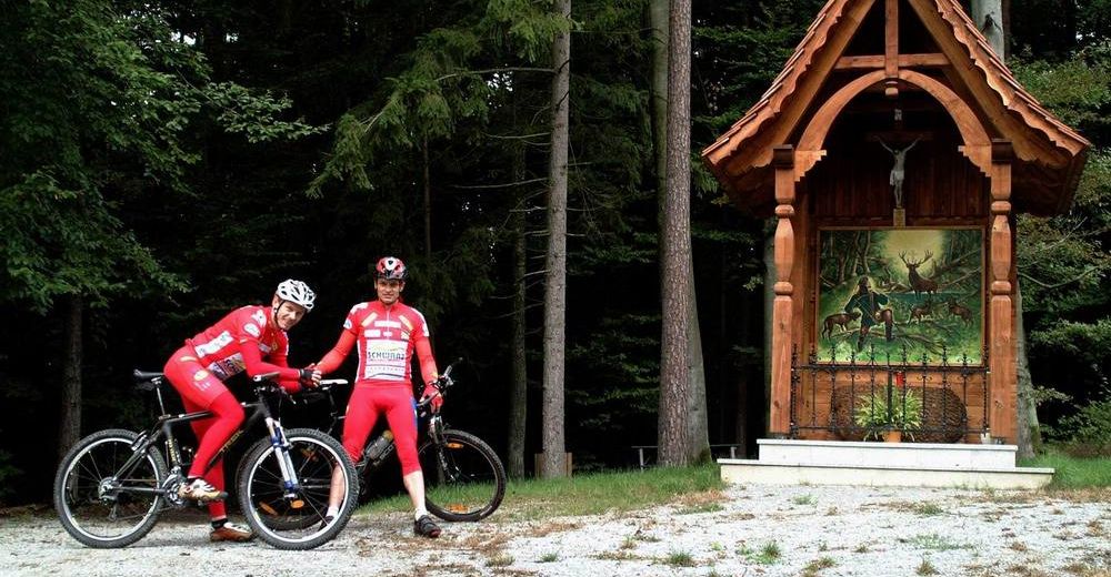
Zahlreiche gutgeführte Gaststätten die auch den Most anbieten, laden entlang des R49 ein.
- Ticket material
-
Datenqualität gpx:
luftbildgenau, qualitätsgeprüft, Stand 30.06.2015Auferbauer, "Radtourenparadies Steiermark“ – Styria Verlag, ISBN 3–222–12842-1
Auferbauer, "Rother Radführer Steiermark". 50 ausgewählte Radtouren, Bergverlag Rother
GPS Downloads


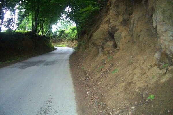
Surfaces
Asphalt
Gravel
Forest
Mountain paths
Single trails
Trial
Traffic
Other tours in the regions