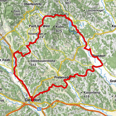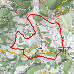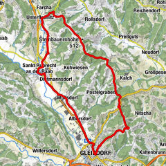
- Brief description
-
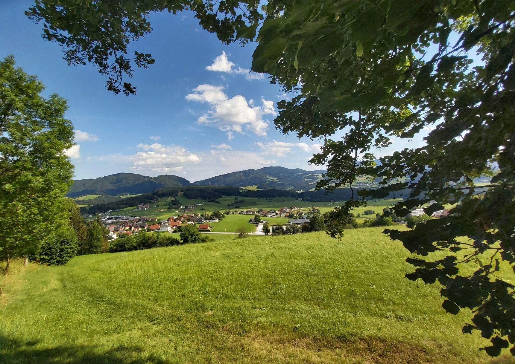
The tasteful, leisurely bike tour around Passail in the Almenland Nature Park, past farm shops, excursion destinations and with plenty of places to stop for refreshments.
- Difficulty
-
medium
- Rating
-
- Starting point
-
Market Square Passail
- Route
-
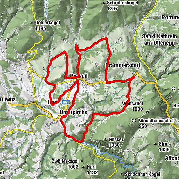
Der Schrenk - RestaurantPassailDer Schrenk - WirtshausVeitskirche0.1 kmTober3.7 kmPostwirt5.0 kmHart6.7 kmPassail8.9 kmUnterpircha10.6 kmGasthof Forellenhof Schweinegger-Mandl13.7 kmArzberg13.8 kmGasthof Sperl15.6 kmPichl17.7 kmHaufenreith18.3 kmTaxwirt20.2 kmAuen21.4 kmGasthaus Schober21.5 kmKrichenlee24.1 kmRaab25.2 kmWieden27.3 kmDer Schrenk - Wirtshaus28.2 kmDer Schrenk - Restaurant28.2 kmPassail28.3 km
- Best season
-
JanFebMarAprMayJunJulAugSepOctNovDec
- Description
-
Along this circular route around Passail, the tables are naturally also set at the inns for a stop. But what makes the route special are the many businesses along the route that dedicate themselves with much love and skill to regional products - from honey, herbs and eggs to cheese. Many of the producers also let you look over their shoulders as they work. So it is the agricultural producers with their range of products in the farm shops that make this tour special. So that the best regional products are also on the table at home!
This cycle tour leads around the Passailer Kessel, past "tasty" excursion destinations, from beekeeping to cheese galleries. The starting point Passail is the shopping centre in the region and also has a sporting offer with the golf course or the leisure centre. The bathing pond at the leisure centre is recommended for relaxation after the bike tour.
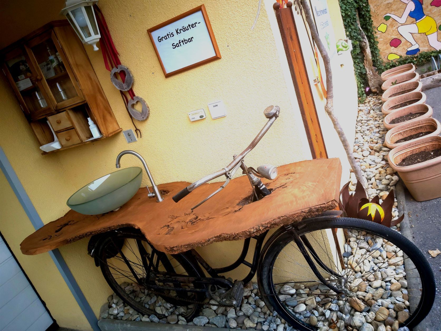
The "Tischlein deck Dich" bike tour (between the Schober and Kriechenlee inns) leads directly past Schroeder's herb workshop with its show garden. All cyclists are cordially invited to a free herbal juice from the self-service bar!
The route is asphalted throughout, but there are always small inclines, so it is more comfortable to cycle on an e-bike.
- Directions
-
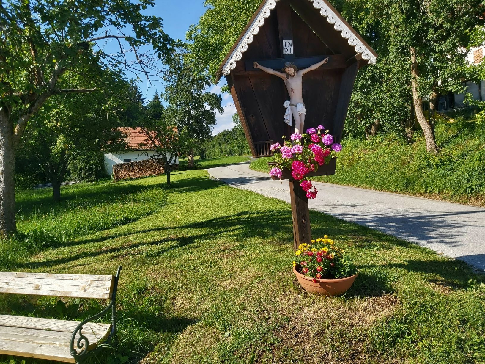
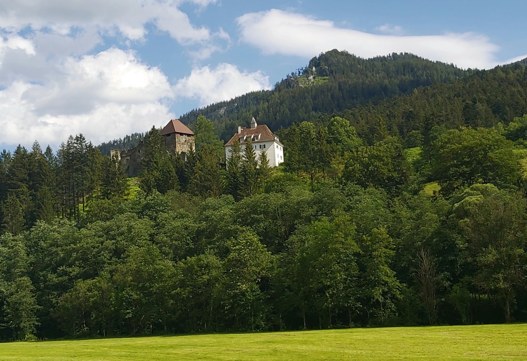
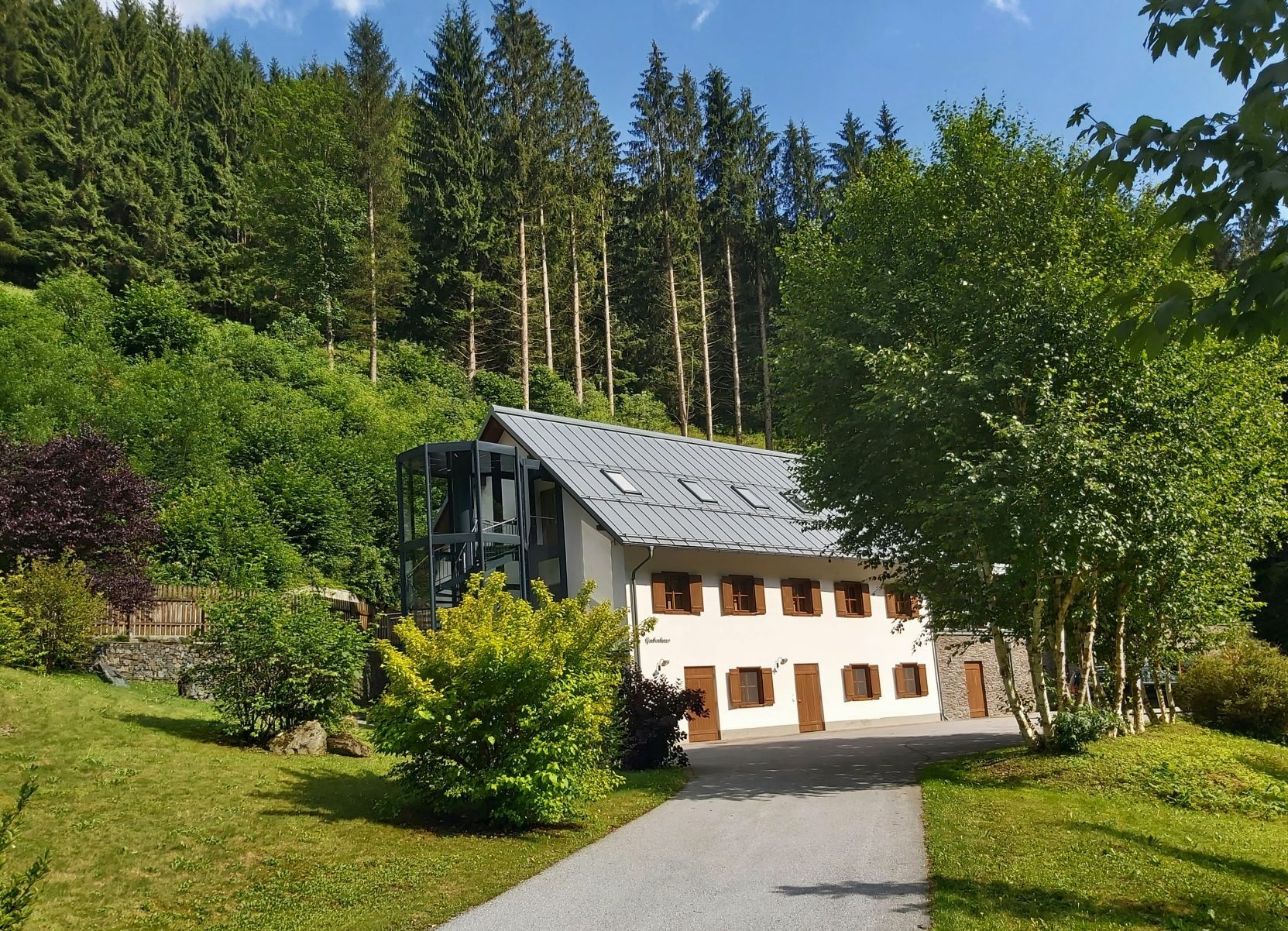
Start: Market Square in Passail/Kaufhaus Reisinger, the tour is signposted throughout as a "Tischlein-Deck-Dich" tour! We drive approx. 200 m in the direction of Fladnitz and then turn right up the hill to the "Lindenbergkirche" or "Lindenbergstub'n". Immediately after the "Lindenbergkirche" you will find the "Almenland Imkerei Kreiner" on the left with a nice shop and regular guided tours and tastings. At the next junction, turn left downhill in the direction of "Fladnitz" or "Tober". At the crossroads with the main road we turn left and drive along the stream through the village of Tober. At the junction with the main road we turn left onto the cycle path.Immediately after the access road to the golf club, we ride right down the field path (and through the golf course) to the district of Hart. After a sharp left turn, we continue through the forest in the direction of Passail. At the junction with the main road, we turn left into the village of Passail.After about 300 m along the main road, we turn right into the road to "Öbau Reisinger". Immediately after the cemetery we keep to the right ("Foto Andrea") - after a short stretch uphill, we now have a clear view of the Schöckl. At the next crossroads always turn right, we descend to the state road. At the main road, turn left towards Arzberg and follow the Moder stream to Arzberg. Up on the right we now see the Stubegg ruins. In the village turn left and cross the bridge ("Schaustollen Arzberg") into the centre of Arzberg. Before the church square or the bridge, turn left ("Grillwirt") and drive along the Raab for approx. 600 m to the Stollenkäse (on the right over the stainless steel bridge). Continue along the Raab ("R11") until you reach the "Moarhofhechtl" junction. We turn right up the hill to the farm (farm shop, egg farm with pasta production and Almo oxen).Back we take the same path along the Raab until the "Grillwirt" appears on the left. Here we turn left in the direction of "Weiz" and continue up the hill. At the next junction turn left towards "Passail". Now we go downhill for a few kilometres over hills and through the village of Haufenreith until we reach the junction with the B64 federal road. At the crossroads (opposite the "Reisemobile Harrer") we turn left and cycle along the cycle path in the direction of Passail. At the large crossroads shortly before Passail, turn right in the direction of "Hohenau/Dorf" and past the GH Schober - always along the Gaasgraben. At the crossroads before the village sign "Kriechenlee" we turn left and cycle down through the villages of Kriechenlee and Raab to the crossroads at the (abandoned) GH Pichler. Here we turn left again and reach the market place in Passail along the river Raab.
- Highest point
- 788 m
- Endpoint
-
Market Square Passail
- Height profile
-

- Equipment
-
We recommend
sportswear with helmet, sturdy shoes and rain protection,
sunglasses and water bottle,
a well-maintained bicycle with emergency kit (air pump, repair kit, spare inner tube)
and a multifunctional tool including first aid kit - Safety instructions
- Tips
-
The true "highlight" of the tour is the Lindenberg Church with a great view over the "Kessel", also a perfect place for a picnic!
- Additional information
-
All rental stations for bicycles & e-bikes in Eastern Styria.
More info about the region, where to stop for a bite to eat, where to find rooms and descriptions of the excursion destinations and businesses:
Tourismusverband Oststeiermark
Almenland Nature Park Office
Fladnitz 100
8163 Fladnitz/Teichalm
Tel: +43 3179 23000
Mail: almenland@oststeiermark.com
www.almenland.at | www.oststeiermark.com - Directions
-
- From Vienna: take the A2 to the Gleisdorf exit and continue on the B64 to the centre of Passail
- From Linz and Salzburg: via the S6 or A9 exit Bruck/Mur and continue on the S35 in the direction of "Graz", exit in Frohnleiten in the direction of "Weiz" (B64) to the centre of Passailcoming
- From Graz: via the A9 or S35, exit in Frohnleiten in the direction of "Weiz", take the B64 to Passail
- Public transportation
- Parking


-

-
AuthorThe tour Set the Table Cycling Tour, Passail is used by outdooractive.com provided.


General info
-
Erlebnisregion Graz
261
-
Naturpark Almenland
123
-
Passail
23