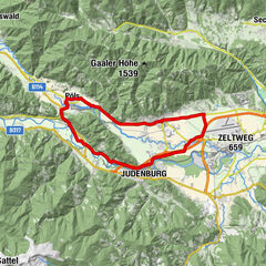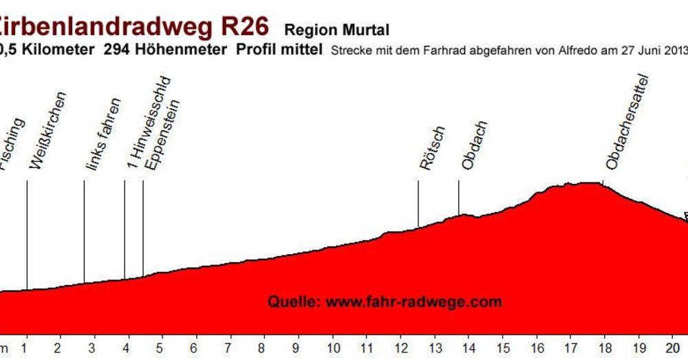
Tour data
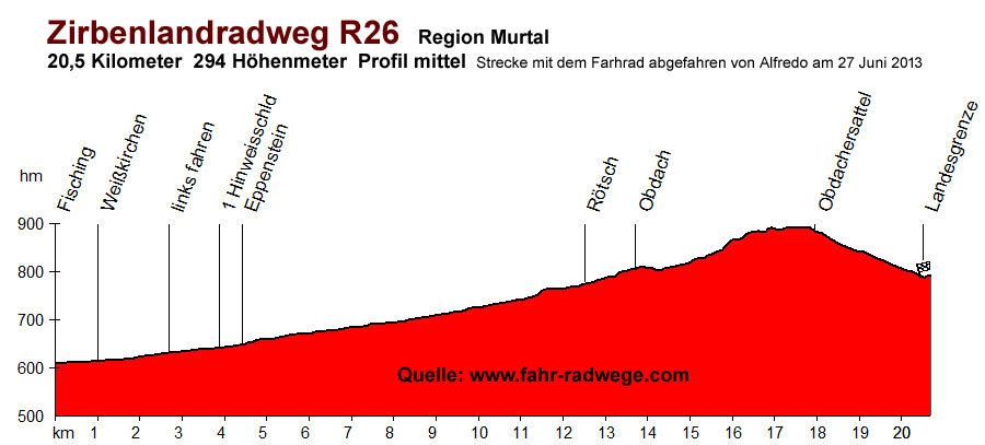
20.7km
677
- 966m
255hm
02:00h
- Difficulty
-
medium
- Rating
-
- Starting point
-
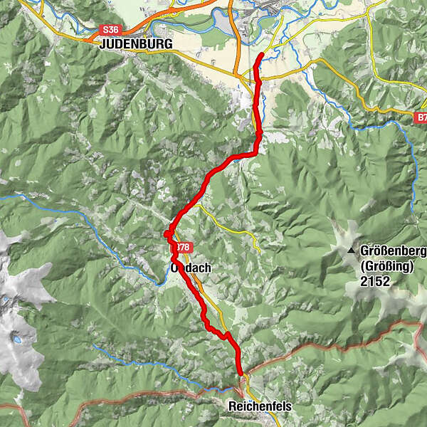
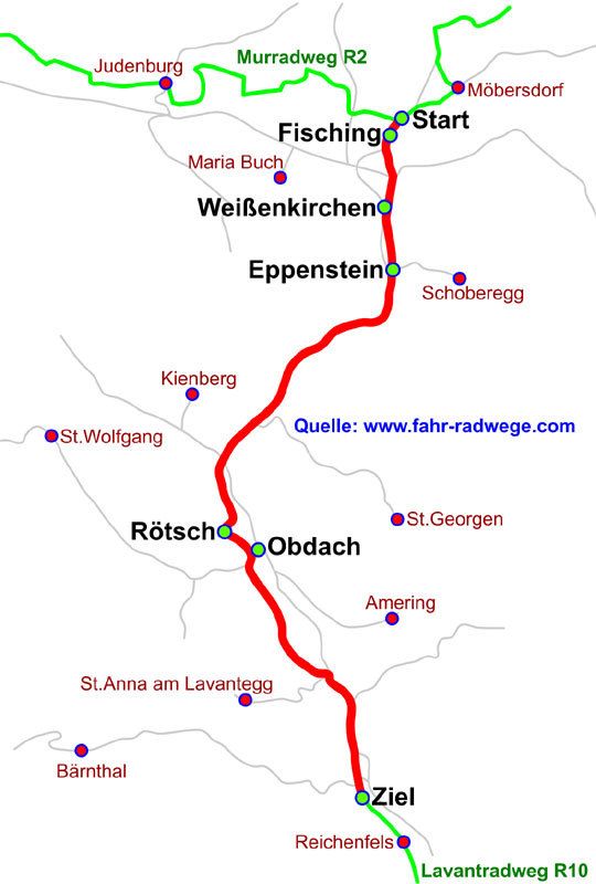
Start beim Murradweg in Fisching
- Route
-
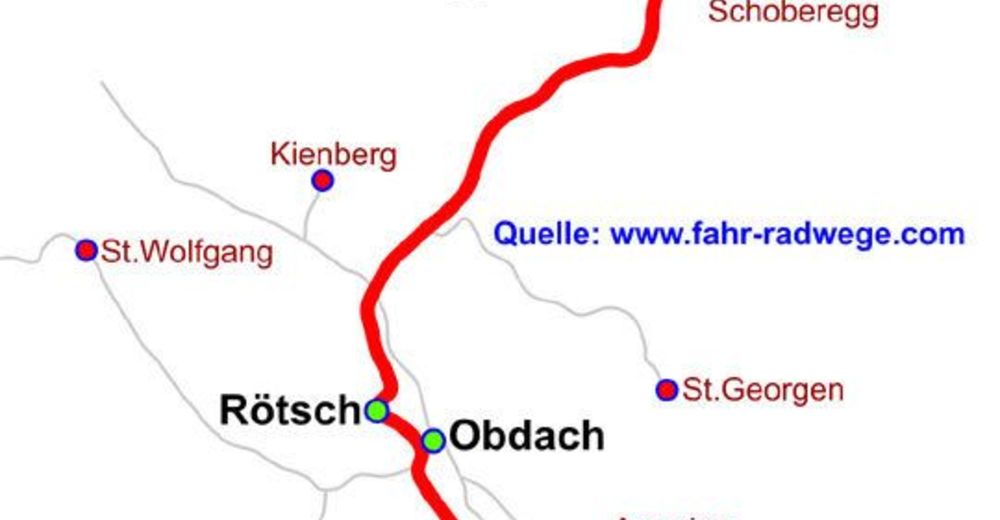
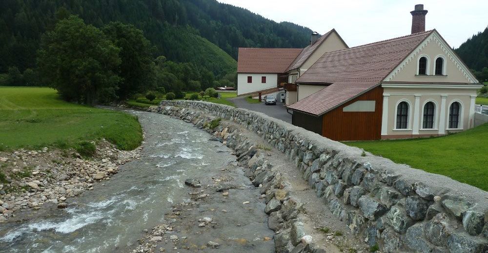
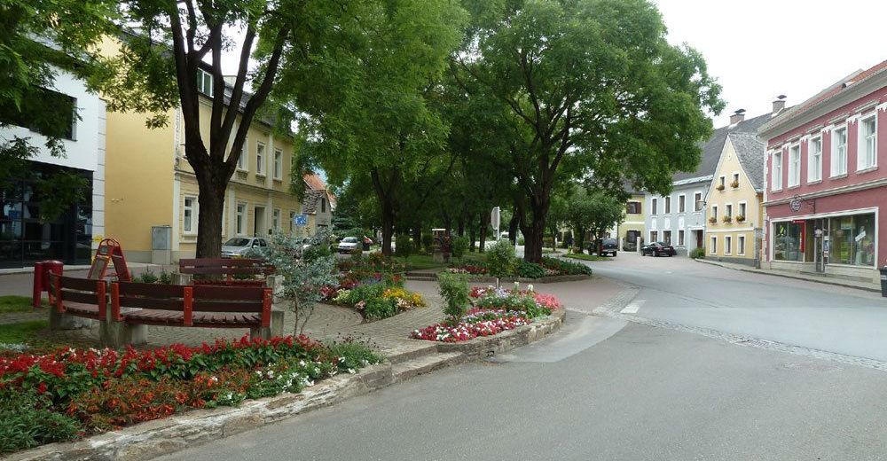
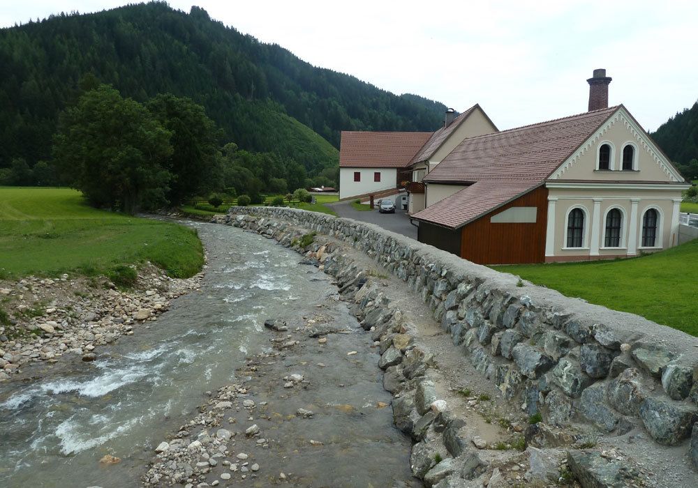
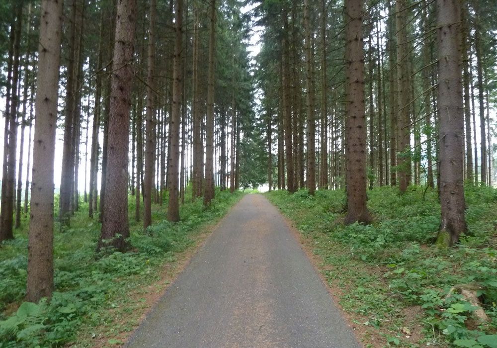
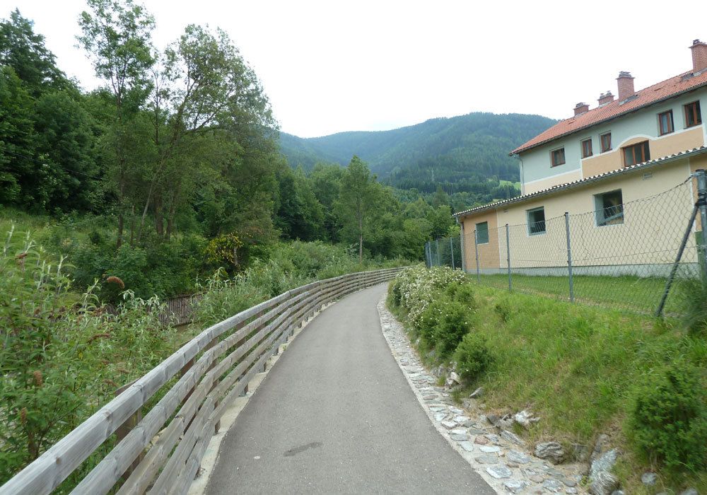
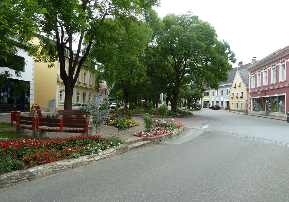
Landgasthaus Liebmann0.2 kmFisching0.4 kmWeißkirchen in Steiermark1.5 kmEppenstein4.0 kmKathal8.2 kmKathal in Obdachegg9.7 kmPfarrkirche St. Ägyd14.1 kmJohanneskapelle14.1 kmObdach14.5 kmObdacher Sattel (955 m)18.5 kmObdacher Sattel (955 m)18.6 km
- Best season
-
JanFebMarAprMayJunJulAugSepOctNovDec
- Highest point
- 966 m
- Endpoint
-
Kärntner Landesgrenze
- Ticket material

GPS Downloads


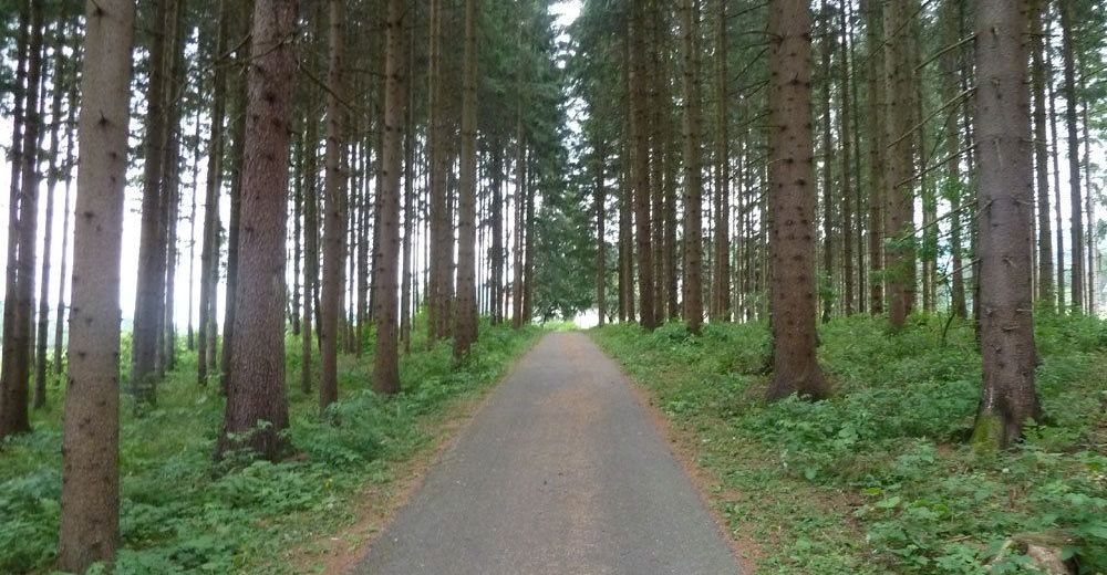
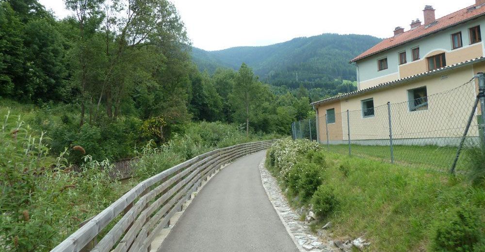
Surfaces
Asphalt
Gravel
Forest
Mountain paths
Single trails
Trial
Traffic
Other tours in the regions