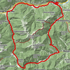
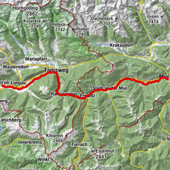
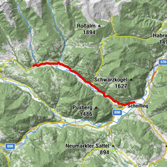
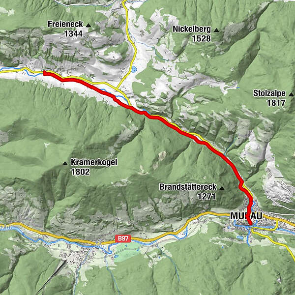
Tour data
10.08km
818
- 919m
170hm
170hm
00:33h
- Brief description
-
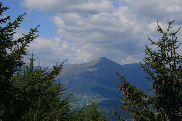
Familienfreundliche Radroute im Rantental.
- Difficulty
-
medium
- Rating
-
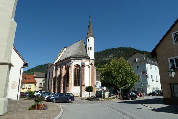
- Starting point
-
Hauptplatz Murau
- Route
-
Murau (829 m)0.2 kmGalgenwiese2.8 kmTratten8.2 kmRanten9.2 km
- Highest point
- 919 m
- Endpoint
-
Ranten
- Ticket material
-
Datenqualität gpx:
luftbildgenau, qualitätsgeprüft, Stand 20.08.2014
GPS Downloads


Surfaces
Asphalt
Gravel
Forest
Mountain paths
Single trails
Trial
Traffic
Other tours in the regions