

- Brief description
-
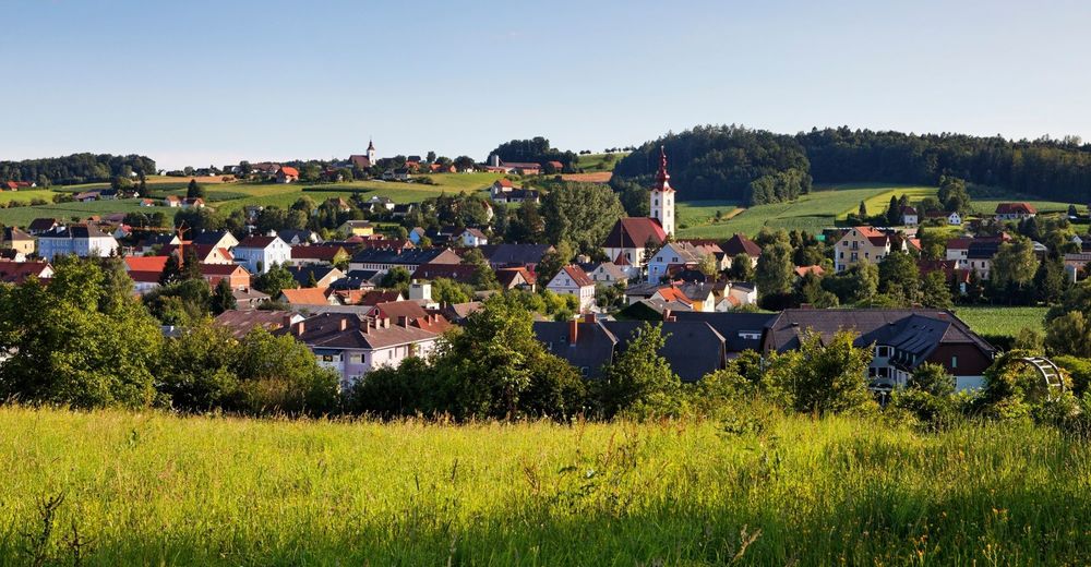
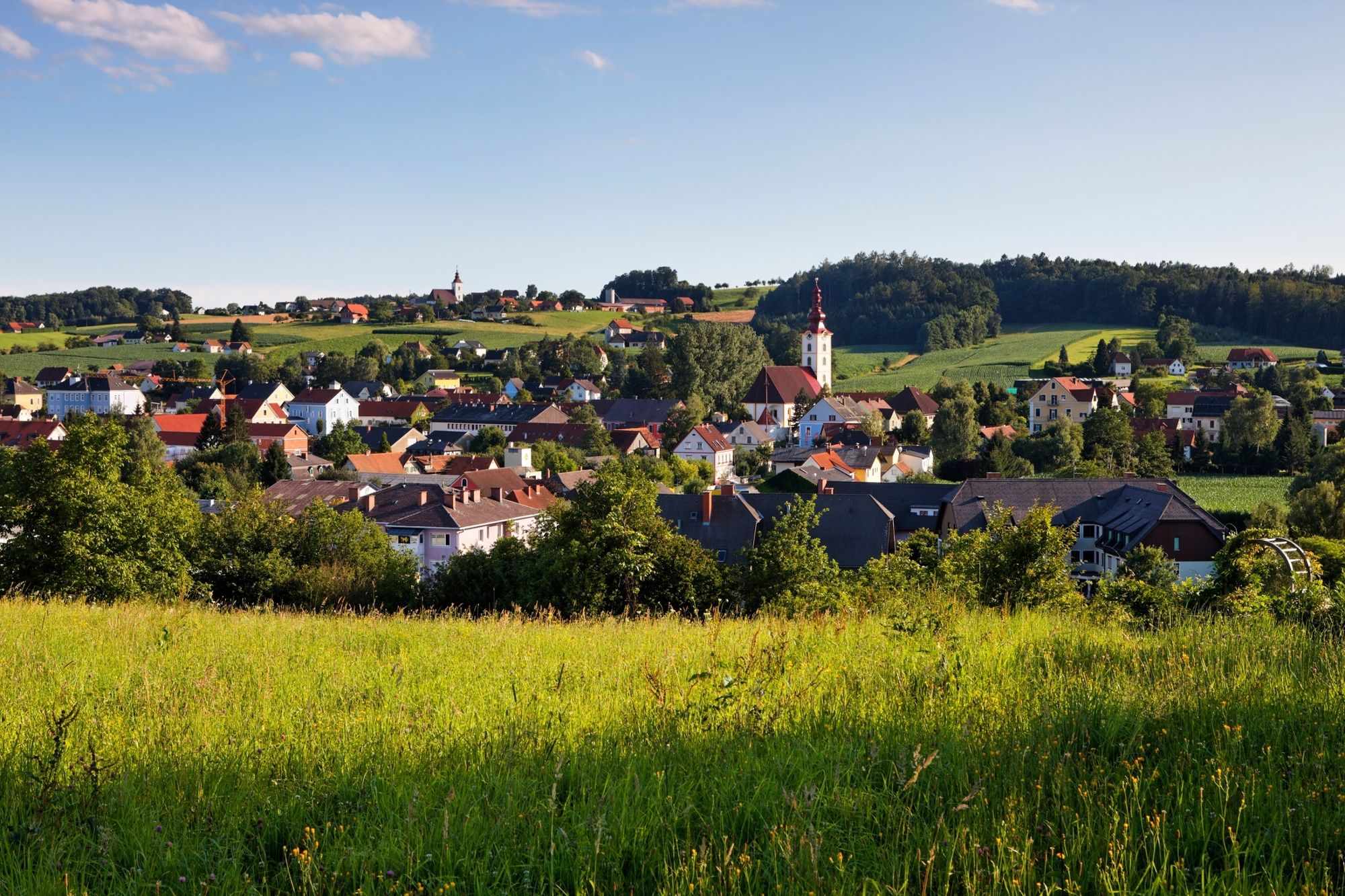
Nature, churches and culinary delights. The FB4 Dursttour is one of a total of 14 forest and meadow tours in the Feldbach region in the thermal and volcanic country of Styria.
- Difficulty
-
medium
- Rating
-
- Starting point
-
Kirchbach - market place to Halle - stright ahead
- Route
-
Kirchbach in SteiermarkPfarrkirche hl. Johannes der Täufer0.0 kmKittenbach3.7 kmBerggastshof Fink6.0 kmEdelstauden8.7 kmOberedelstauden9.8 kmWeißenbachegg12.5 kmWeißenbach13.9 kmGraingeck14.9 kmFranzenegg16.1 kmWolfsberg17.7 kmKirchbach in Steiermark19.0 kmWetterkreuz (330 m)19.4 kmBeinbach20.5 kmMaierhofen20.9 kmTagensdorf24.0 kmGreith26.5 kmGlojach27.5 kmAltenberg30.1 kmSchwarzau im Schwarzautal30.9 kmTagensdorf33.7 kmUnterbreinberg36.2 kmBergsailer36.7 kmOberbreinberg37.2 kmGlatzau39.9 kmUntergleisbach40.9 kmKirchbach in Steiermark42.8 kmPfarrkirche hl. Johannes der Täufer42.8 km
- Best season
-
JanFebMarAprMayJunJulAugSepOctNovDec
- Description
-
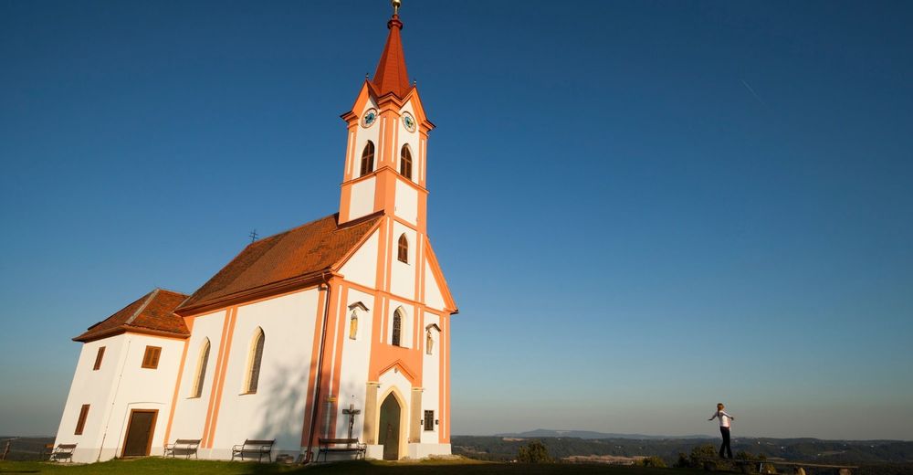
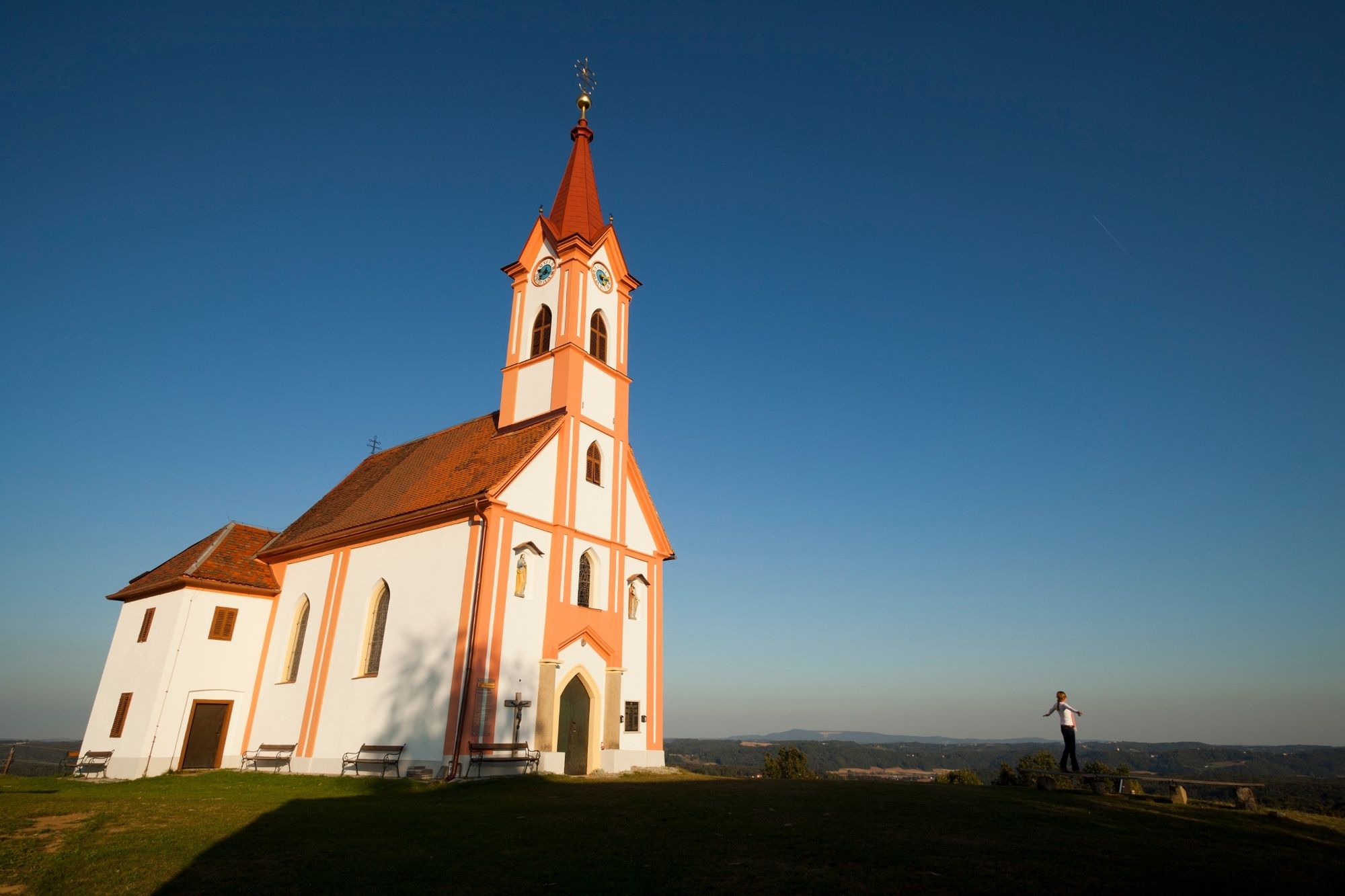
A highlight of this tour is undoubtedly the Glojach Chapel, which sits enthroned at the highest settlement point of the district and offers a view in all directions. Good bourgeois inns line this tour. But the pleasure does not stop at the palate. The eye can also look forward to pleasurable views along the ridges of the hills.
- Directions
-
0 Start Kirchbach - market place uphill towards hall straight ahead
0.05 Church wall (in front of Kirchbach hall) left
0,1 always follow the road! right
1,0 on hilltop (St. Anna church to the left) right
2,4 right
3,8 left
3,85 (on the left goes to Kittenbach) right
4,6 Donati - Chapel straight ahead
5,2 straight ahead
6,0 (GH Fink/ Edelstauden) on B73 direction Graz left
8,2 (crossing) right
8,4 straight ahead
9,0 (VS Edelstauden) turn right
9,8 dip - then uphill straight ahead
10,8 hilltop left
11,6 direction Weissenbach/Breitenbuch right
13.3 straight ahead
13,35 direction GH Griesmichl straight ahead
14.4 GH Griesmichl to the right
16,2 Franzenegg - chapel
17,2 Road to the left
18.6 (Kirchbichl - hilltop) right
18,9 Kirchbach straight
19,0 at gas station left
19.4 right
19,7 Schwarzaubrücke/beginning of gravel road near open-air swimming pool) left
20,5 End of gravel road right
20.6 straight ahead
21.1 left
22.5 Straight ahead over state road
23.3 straight ahead
24.1 Tagensdorf left
25,1 straight ahead
25.5 FB 11 coming from left/ St. Stefan i. Rosental straight ahead
25,9 road on the left
26.6 Glojach chapel on the right
28.1 Glojach right
28.2 Glojach right
30.1 straight ahead
30.4 Maggauberg to the right
31.9 Schwarzau, right and then immediately left! right/left
32.9 straight ahead
34.6 Tagensdorf - Schwarzaubrücke straight ahead
35.5 on B 73 (Ziprein) left
35.55 direction Breinberg right
37.5 hilltop straight ahead
38.4 direction Glatzau/Kirchbach turn right
40.7 sharp left uphill (Sauberg) left
41.1 straight ahead
41.7 Road to the right
42.0 straight ahead
42.1 straight ahead at crossroads towards St. Anna church
42.6 at hilltop straight ahead
43.5 Kirchbach - Gemeindeamt on the right - Highest point
- 494 m
- Endpoint
-
Kirchbach - Gemeindeamt
- Height profile
-

- Equipment
-
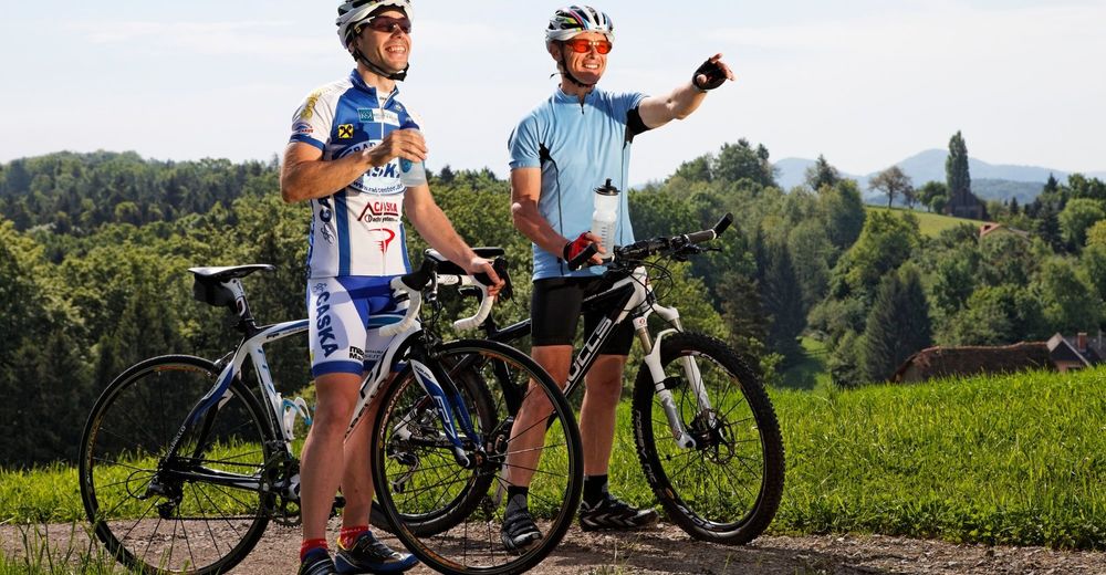
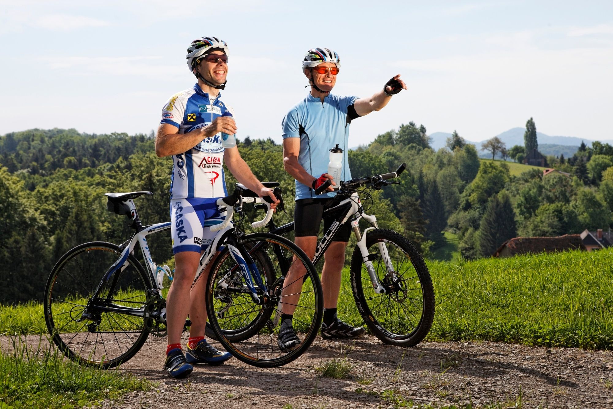
Touring bikes or city bikes are recommended. Tip: A basic equipment of tools and accessories such as spare inner tube and/or repair kit, spanner, air pump, brake and shift cable as well as a screwdriver can never hurt.
- Safety instructions
-
Emergency call mountain rescue: 140
Ambulance: 144
European emergency call: 112
Fire departments: 122
Police: 133
Tips for reporting an emergency - Answer the following six W questions: What happened? How many people are injured? Where did the accident occur (are there GPS coordinates)? Who reported the incident (callback number)? When did the accident occur? What is the weather like at the scene of the incident? - Tips
-
Welcome stops are the St. Anna Church, the Donat Chapel or the Franzenegg Chapel. Narrow nature trail along the Schwarzaubach stream from KM 19-20
- Additional information
- Public transportation
-
Detailed information about arriving by ÖBB (Austrian Federal Railways) can be found at www.oebb.at or on the Verbundlinie Steiermark website www.busbahnbim.at
With Verbundlinie’s BusBahnBim route planner app, planning your journey has never been easier: simply enter towns and/or addresses, stop names or points of interest to check all bus, train and tram connections in Austria. The app is available free of charge for smartphones – on Google Play and in the App Store
- Parking
-
There are sufficiant parking lots available.


- Author
-
The tour FB4 Thirsty Tour (FB4 Dursttour) is used by outdooractive.com provided.


General info
-
Südsteiermark
236
-
Region Gleisdorf
232
-
Kirchbach-Zerlach
32