- Brief description
-
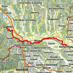
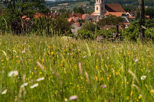
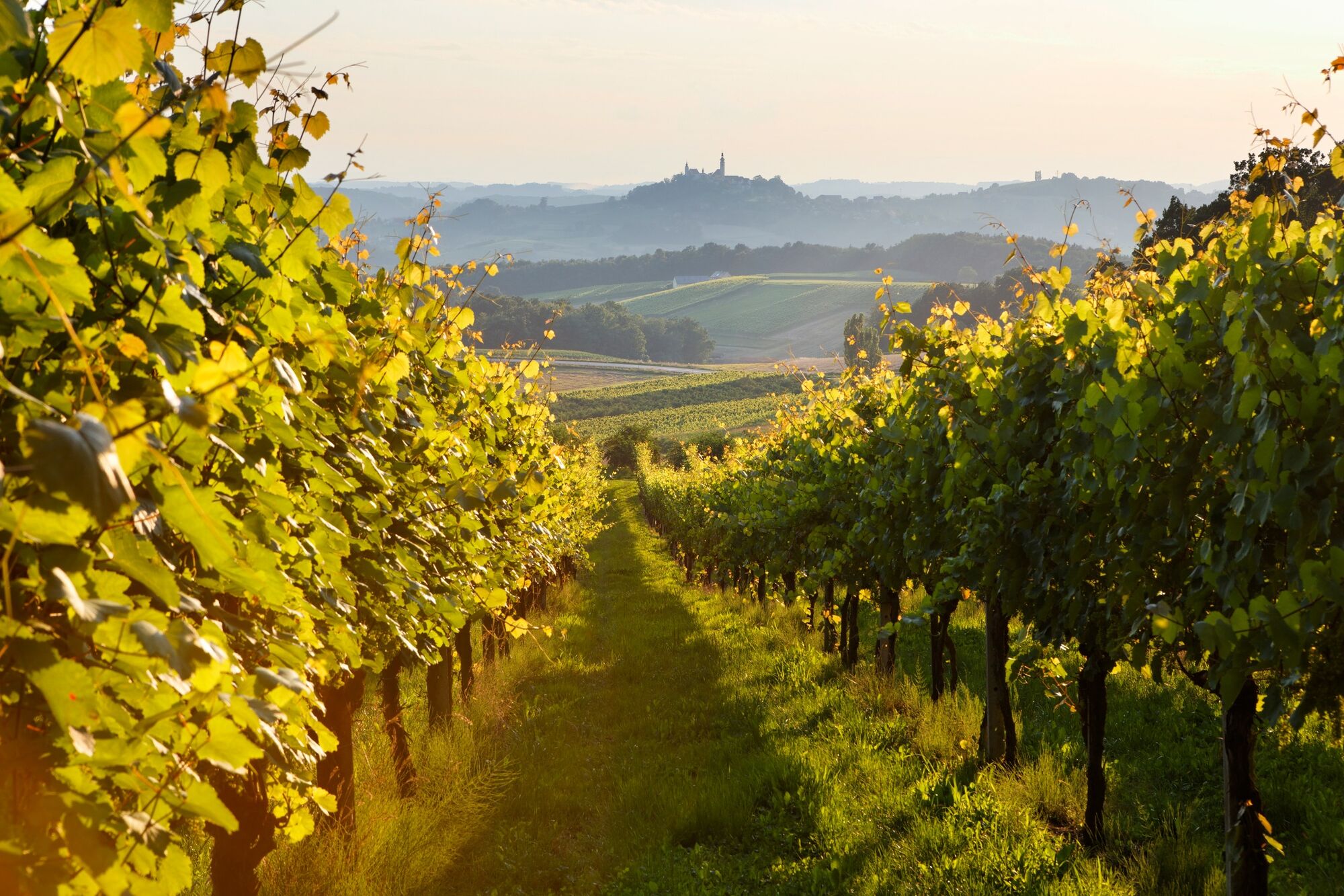
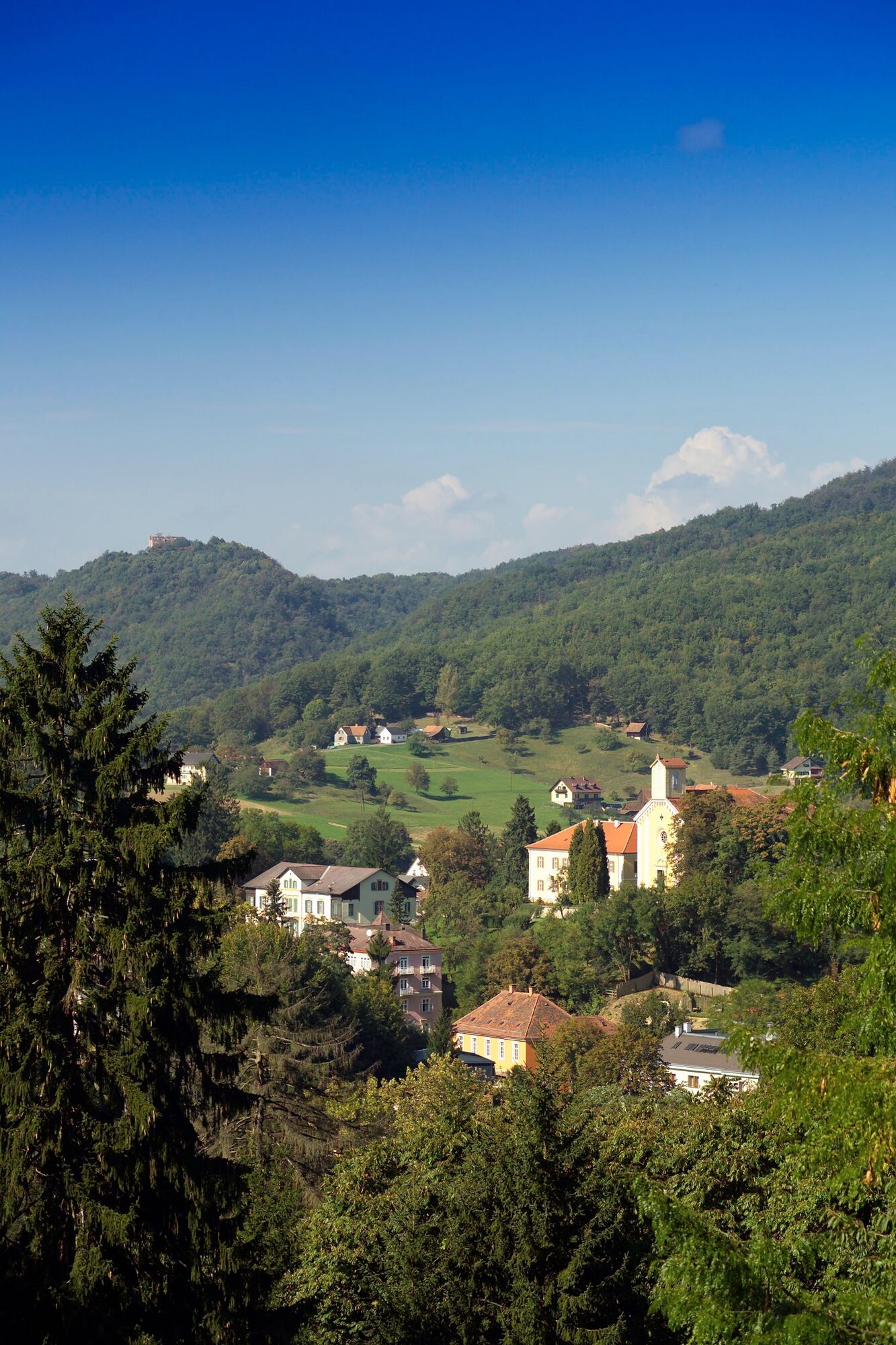
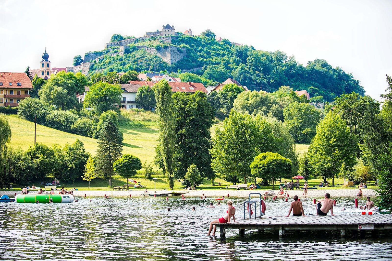
From north to south and back again. The giant tour FB1 is one of a total of 14 forest and meadow tours in the region of Feldbach in the thermal and volcanic country of Styria.
- Difficulty
-
difficult
- Rating
-
- Starting point
-
Village Bad Gleichenberg or Feldbach/ Raabau
- Route
-
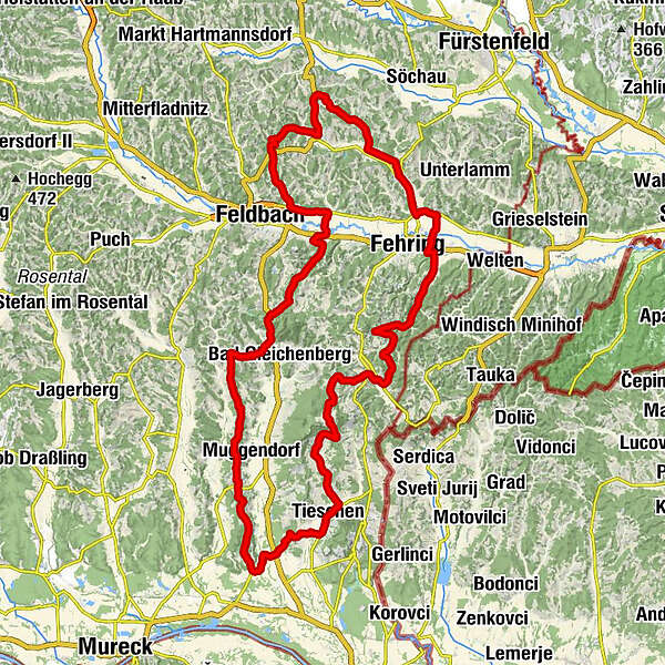
Gleichenberg Dorf0.1 kmTrautmannsdorf in Oststeiermark1.7 kmWaxenegg3.1 kmPoppendorfberg3.6 kmKagleiten8.9 kmBuschenschank Wagnes9.7 kmSaziani10.9 kmStraden11.8 kmSankt Sebastian11.9 kmSilberberg13.0 kmUnterkarlaberg15.2 kmRadochenberg17.1 kmRadochen19.7 kmMonga22.0 kmOberlaasen23.5 kmUnterlaasen24.3 kmJörgen24.9 kmPatzen25.4 kmTieschen26.0 kmKönigsberghof26.1 kmPichla bei Radkersburg27.1 kmGasthaus List31.1 kmFrutten31.2 kmBuschenschank Seidl31.3 kmGießelsdorf31.6 kmGobitsch33.7 kmHochstraden35.0 kmJamm39.7 kmNeustift42.1 kmGutendorf48.5 kmPetersdorf52.6 kmWeinberg an der Raab57.5 kmBrunn59.1 kmHatzendorf61.7 kmStang bei Hatzendorf63.5 kmUnterlembach67.1 kmOberlembach68.5 kmKropfberg70.2 kmRiegersburg73.1 kmPfarrkirche Sankt Martin73.2 kmAltenmarkt bei Riegersburg74.3 kmWinkelgraben76.2 kmKurvenwirt Krisper&Zieger77.7 kmKarnerberg77.8 kmWagnerberg78.3 kmSchützing79.8 kmRaabau81.6 kmLödersdorf84.2 kmLeitersdorf im Raabtal86.7 kmWeinegg87.4 kmEdersgraben89.4 kmHöflach91.5 kmKlausen93.4 kmGleichenberg Dorf95.2 km
- Best season
-
JanFebMarAprMayJunJulAugSepOctNovDec
- Description
-
The giant tour lives up to its name. In fact, it is the north-south crossing of the Styrian Volcanic Land. This route stretches from the striking Riegersburg Castle, perched on the volcano, almost to the Murauen meadows. The return journey via Tieschen, Hochstraden, Kapfenstein and Weinberg is extremely scenic along the ridges of the hills and a stretch along the East Styrian Wine Route. You will reach the highest point of this circular tour in Straden in southeastern Styria.
- Directions
-
Km Route
0 village of Bad Gleichenberg; after 400m turn right towards Trautmannsdorf
0,45 go straight ahead
1,1 right road course at the hilltop or provincial railway crossing
1,6 left; after 100m right towards Aichelzeil; 1,9 left uphill
2,6 turn right onto Landesstraße and go straight on after 200m
3,3 before the crest turn left and then always along the ridge
4,3 straight on and after 500m left (Poppendorfberg)
5,8 straight ahead
9,3 turn left on country road to Straden
11,6 straight at crossroads in Straden, after 200m right downhill
12,4 turn left (cross the road) and after 100m turn right uphill
13,4 right, then straight ahead and at 17,0 left downhill
18,3 turn left onto state road
19,8 follow the road to the right in Radochen
20,7 cross B66 straight ahead, after 100m left, after 1km right
22,5 right uphill along the road, after 300m right into Laasen
24,8 turn left towards Tieschen
27,0 left in Pichla
28,4 straight ahead
29.5 straight ahead and at km 31 right into Frutten-Gießelsdorf
31.5 straight, after 200m left uphill towards Aussichtswarte
32.3 right and after 800m straight ahead
33,6 left towards Hochstraden (partly 18% incline)
35.1 straight (Hochstraden - highest point)
37,3 left, after 100m right along the road towards Jamm
40,5 straight ahead, cross the road in Jamm, after 50m turn right
41,3 left and after 200m right in Neustift
42,0 turn left towards Pretal
44,3 follow the road to the right; 45,7 turn right again
47,1 right downhill towards Gutendorf, after 1km straight ahead
52.0 straight ahead (Petersdorf II); 54.4 left towards Fehring
54.8 right towards Weinberg; 55.6 straight across B57
57.2 left into Weinberg; 57.4 left; 58.3 left;
58.8 right into Brunn - then approx. 800m of fine gravel
60.1 straight ahead
61.4 left (at bridge)
61.6 left onto main road
61.7 pass the train station on the right, after 300m straight ahead
62.5 left towards Stang; 64.5 right, 65.1 straight ahead
69.6 left onto state road; 70.1 left onto (B66 towards Riegersburg)
73.1 right at Riegersburg - direction church
73.4 left at castle entrance - left downhill towards Altenmarkt
73.9 straight ahead (Altenmarkt traffic circle)
74.8 keep straight on the road to Altenmarkt until 77.1
77.1 left on hilltop Fröhlichberg
77,6 left on B66 and after 100m right towards Schützing
80,0 straight on in Schützing
81.5 left in Raabau, then straight (optional start from Feldbach)
84,0 right in Lödersdorf
85,6 right onto B57
86,1 left in Leitersdorf and after 400m left
89,1 cross the traffic circle in Edersgraben straight on
91,1 straight ahead in Höflach and over hill Kulmberg
93.2 turn left onto B66
95.7 Village Bad Gleichenberg
- Highest point
- 527 m
- Endpoint
-
Village Bad Gleichenberg or Feldbach/ Raabau
- Height profile
-

- Equipment
-
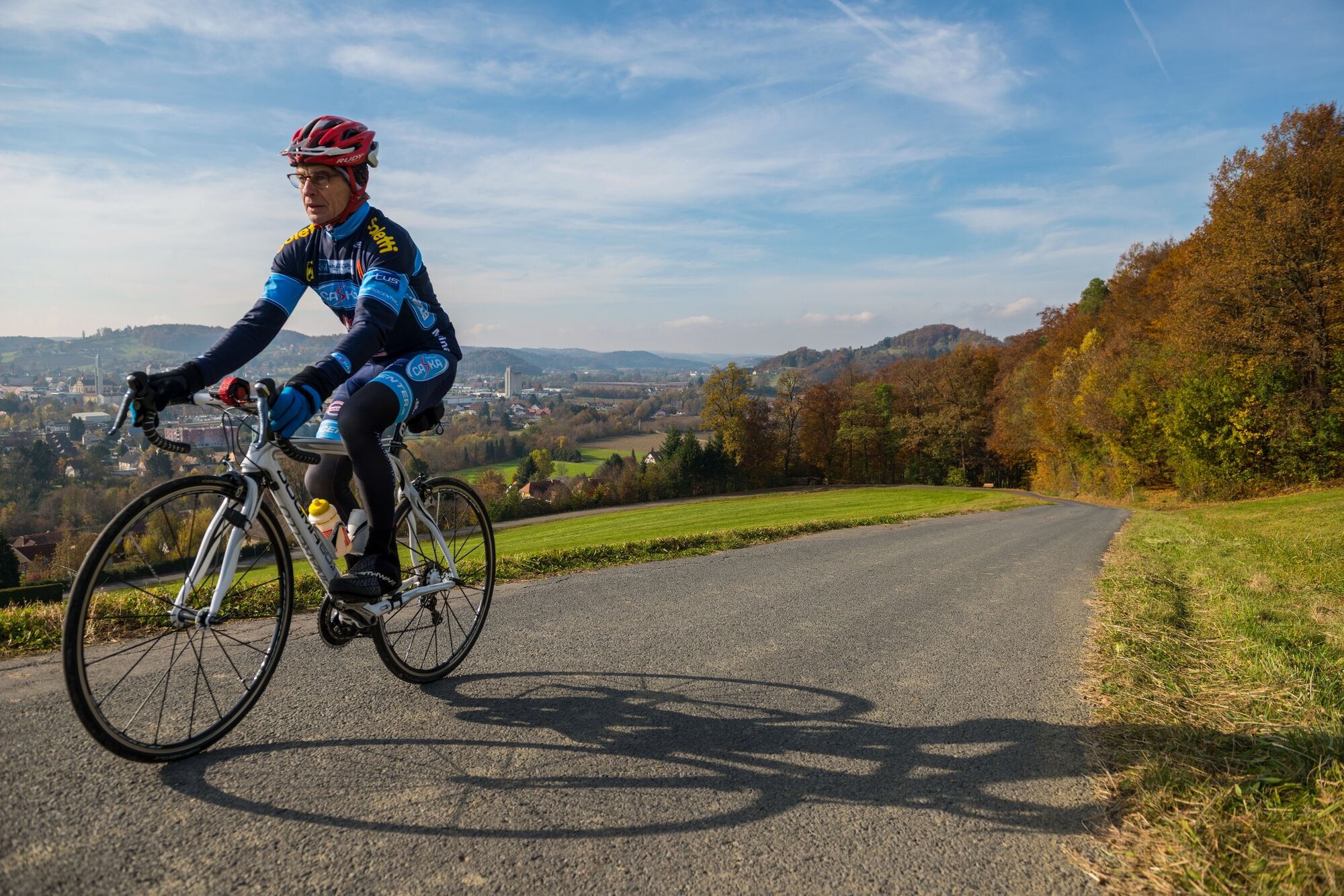
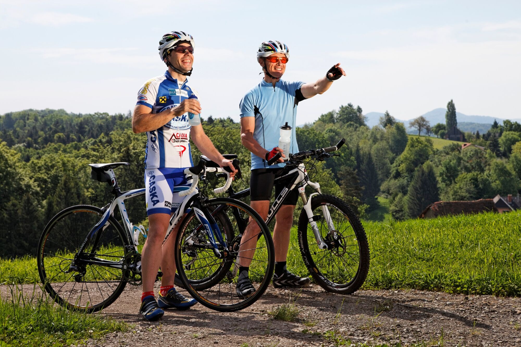
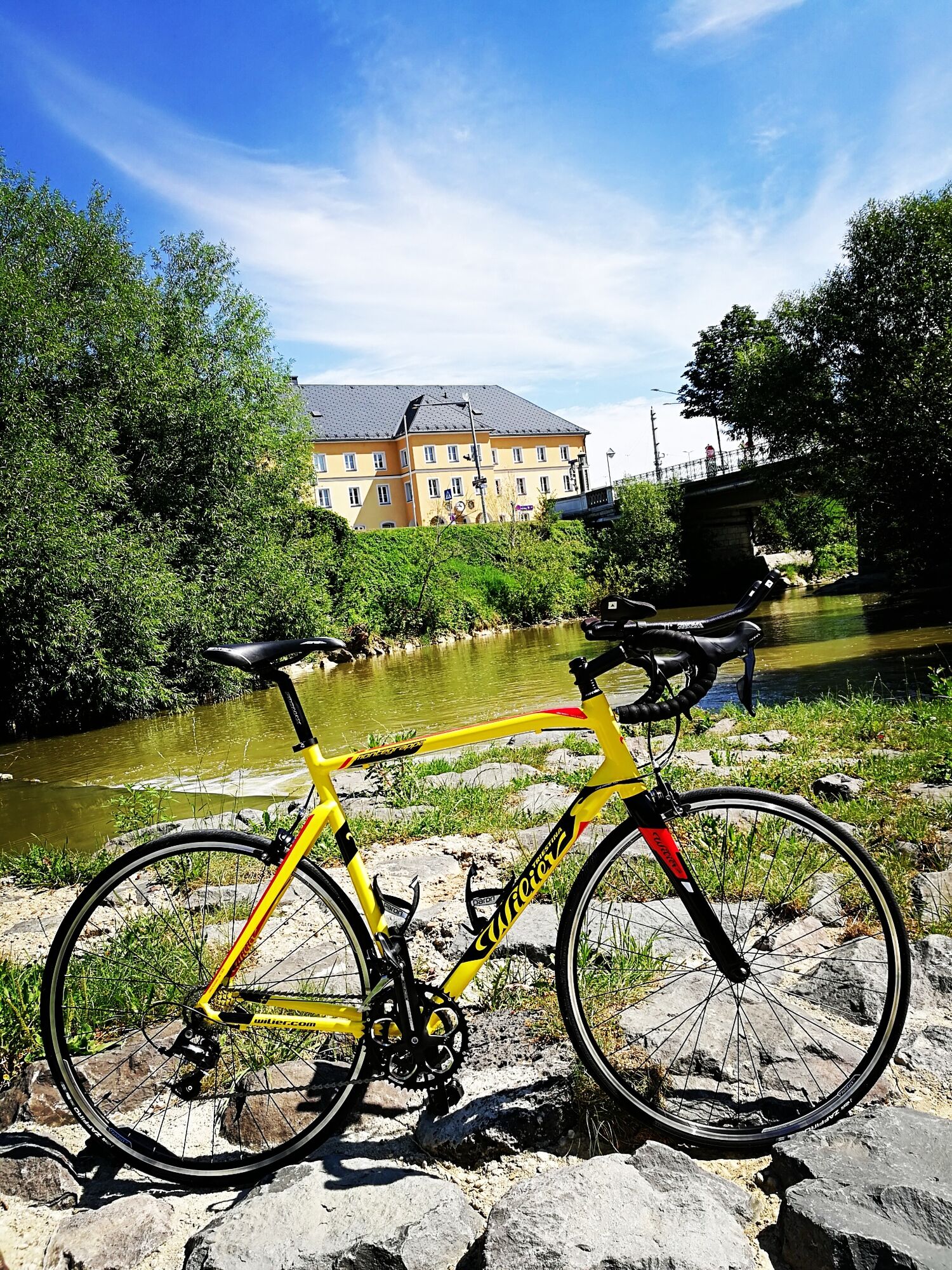
Touring bikes or city bikes are recommended. Tip: A basic equipment of tools and accessories such as spare inner tube and/or repair kit, spanner, air pump, brake and shift cable as well as a screwdriver can never hurt.
- Safety instructions
-
Emergency call mountain rescue: 140
ambulance: 144
European emergency call: 112
firefighters: 122
police: 133Tips when reporting an emergency – Answer these six WH questions: What happened? How many people are injured? Where did the accident happen (are there GPS coordinates)? Who is reporting the incident (callback number)? When did the accident happen? What is the weather like at the site of the incident?
- Tips
-
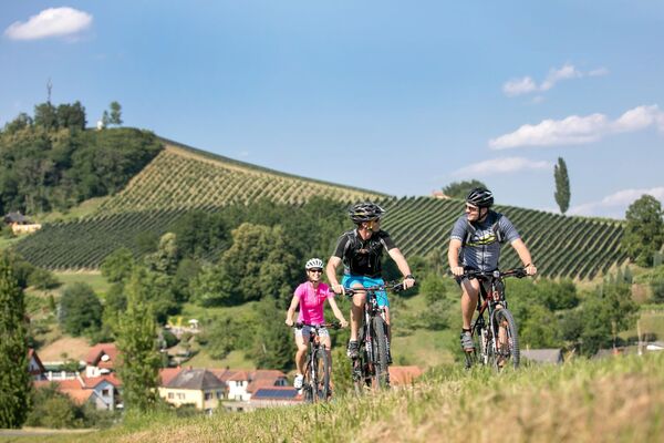
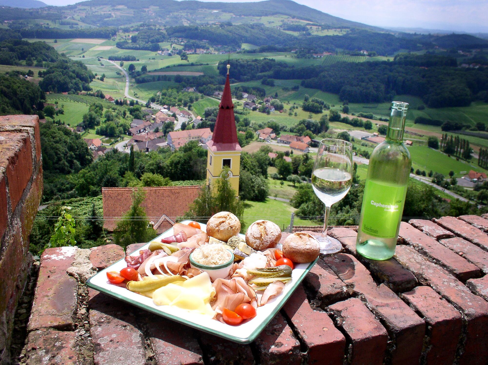
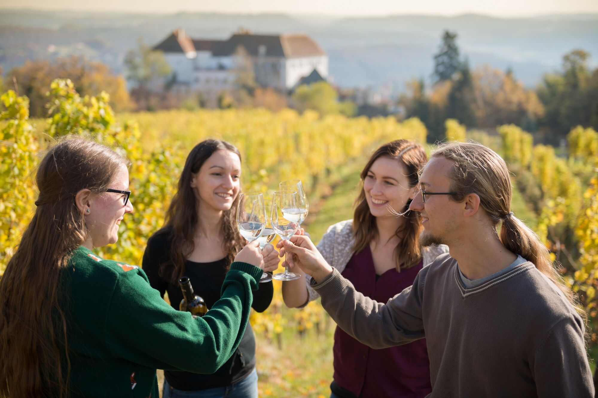
Enjoy a part of the route along the wine road and don't miss to fortify yourself at a typical Styrian Brettljause.
- Additional information
- Directions
-
Coming from Graz:
Freeway A2 direction Vienna - exit Gleisdorf Süd - direction Feldbach B68Coming from Vienna:
Freeway A2 direction Graz - exit Ilz/ Fürstenfeld - direction Riegersburg B66 to Feldbach - Public transportation
-
Detailed information about arriving by ÖBB (Austrian Federal Railways) can be found at www.oebb.at or on the Verbundlinie Steiermark website www.busbahnbim.at
With Verbundlinie’s BusBahnBim route planner app, planning your journey has never been easier: simply enter towns and/or addresses, stop names or points of interest to check all bus, train and tram connections in Austria. The app is available free of charge for smartphones – on Google Play and in the App Store
- Parking
-
P+R at Feldbach train station (no short-term parking zone). There are numerous parking spaces available.
Parking in the area of the city center:
The parking time is 2 hours. Parking in the shopping city of Feldbach is free of charge. A parking meter must be used and is available free of charge at the Gästeinfo Feldbach.

- Author
-
The tour FB1 Riesentour Thermen- & Vulkanland Steiermark is used by outdooractive.com provided.


General info
-
Oststeiermark
377
-
Bad Gleichenberg
168
-
Kapfenstein
46