© Ausseerland - Günter Köberl

© Ausseerland - Günter Köberl


- Brief description
-
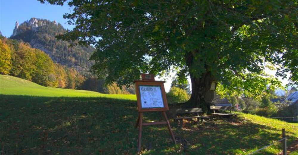
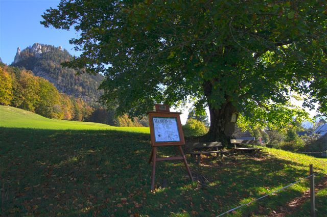
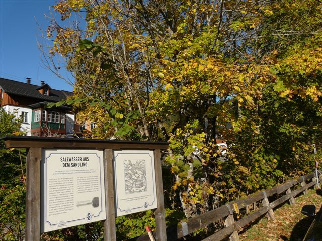
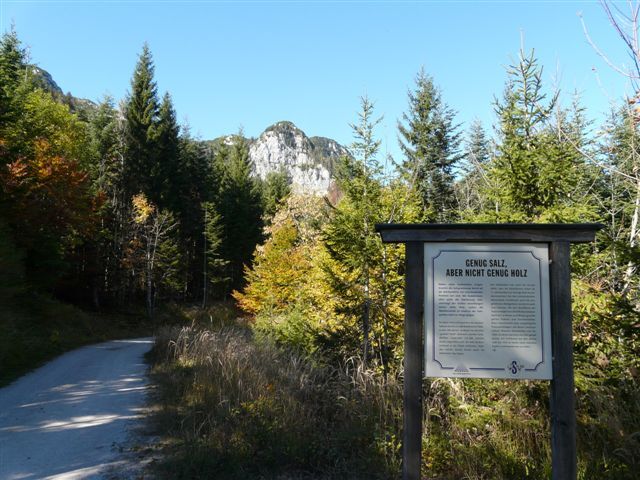
A round trip with steep climbs but beautiful views. Asphalt and gravel paths alternate. You meet the "Via Artis" - artists' paths in Ausseerland and the "Via Salis" - the history of salt mining in Altaussee.
- Difficulty
-
medium
- Rating
-
- Starting point
-
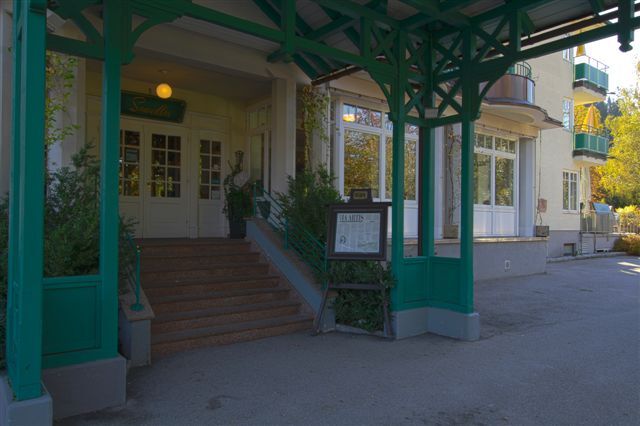
Information office Bad Aussee
- Route
-
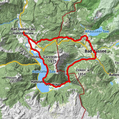
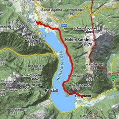
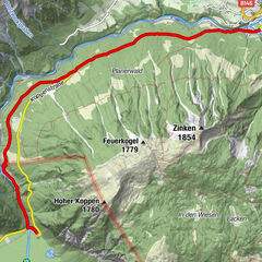
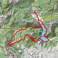
Bad Aussee (659 m)0.2 kmObertressen1.6 kmIm Nöckl2.8 kmStrandcafe3.9 kmAltaussee5.4 kmHinter-Posern6.1 kmSagbühel7.7 kmKaltwasser8.2 kmJagdhof8.5 kmBlaa Alm10.2 kmJagdhof11.9 kmKaltwasser12.2 kmMoosberg14.8 kmFürstenscheibl15.6 kmWaldgraben16.1 kmSchloßwiese17.4 kmKesselgrube19.9 kmPuchen20.1 kmKendl20.1 kmIm Graben21.8 kmWald22.2 kmPraunfalk22.9 kmBad Aussee (659 m)24.2 km
- Best season
-
JanFebMarAprMayJunJulAugSepOctNovDec
- Directions
-
From the start up to the traffic circle, there to the right and immediately left up to Oberer Markt. Then to the left and up the steep "Blutschwitz" to Obertressen.
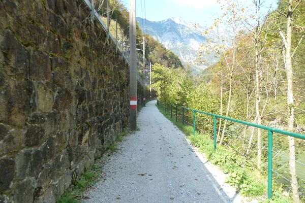
At the "Oase" turn right uphill and in the following bend straight ahead and left over to the Hofmannstahl lime tree (Via Artis station). Then in the forest first slightly uphill, then downhill to the "Dachsteinblick" and downhill towards Altaussee. In the hollow, immediately after the small stoop to the right up to the Bartelhof, at the top left follow the gravel road to the Strandcafe. After enjoying the lake view, turn back (driving is prohibited on the lake promenade) and at the top of the next intersection turn right, downhill again to the lake and along the shore to the Seeklause. Cross the bridge to the right, immediately after the Hotel Seevilla turn left again and pass the graduation plant opposite the Hotel MAYRLIFE to the center of Altaussee. After crossing the main road, walk along the Augstbach to the Loser Ski Arena and continue on gravel to the Blaa Alm, then back again and up to the right to the show mine of the Altaussee salt mine. Past it and steeply up, after the bend to the Moosberg, the highest point is reached. Downhill to the large intersection of forest roads in the forest ditch, there always to the left and straight to the ruin Pflindsberg. At the road you leave the bikes and walk a few steps to the ruin to enjoy the magnificent panoramic view of the Ausseerland. Then downhill again to Rambühel and on asphalt to Altaussee. There along the Traun, optionally on the Klaus-Maria-Brandauer-Promenade back to Bad Aussee and the starting point. - Highest point
- 1,042 m
- Endpoint
-
is the starting point
- Height profile
-

- Equipment
-
A few tips for safe biking:
Before and after each bike tour check the air pressure, spoke tension and brake pads.
The helmet belongs to every tour.
Consider in advance what equipment you need: warm clothing, rain and wind protection, repair kit and first aid kit belong in the backpack. Also a charged cell phone. - Safety instructions
-
Emergency call rescue: 144
Emergency Reporting Tip - Provide answers to the six W questions:
What happened? How many injured? Where did the accident happen (possibly GPS coordinates)? Who is reporting (callback number)? When did the accident happen? Weather at the accident site?
Please note the disclaimer! - Additional information
- Directions
- Public transportation
- Parking
- Author
-
The tour Blaa Alm - Pflindsberg is used by outdooractive.com provided.
GPS Downloads


General info
Refreshment stop
A lot of view
Other tours in the regions