- Brief description
-
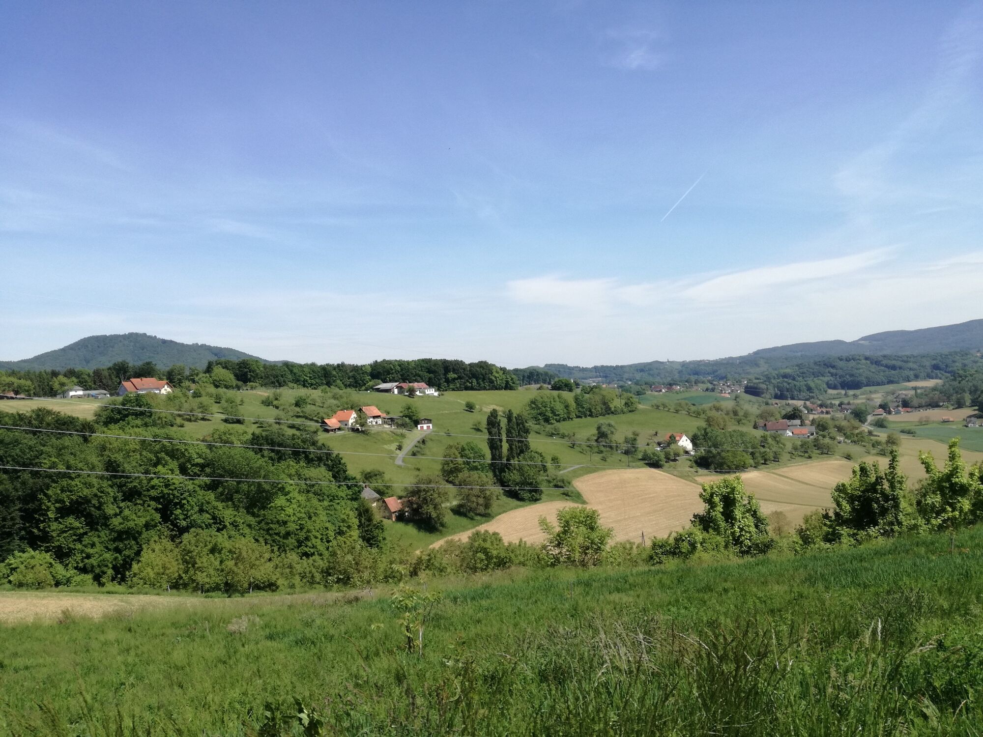
Immerse yourself in the Gnas region and get to know a special breed of people and dialect.
- Difficulty
-
medium
- Rating
-
- Starting point
-
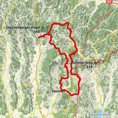
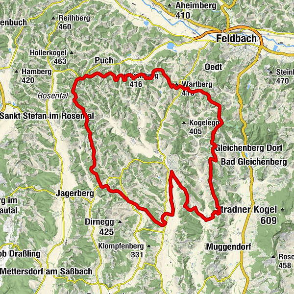
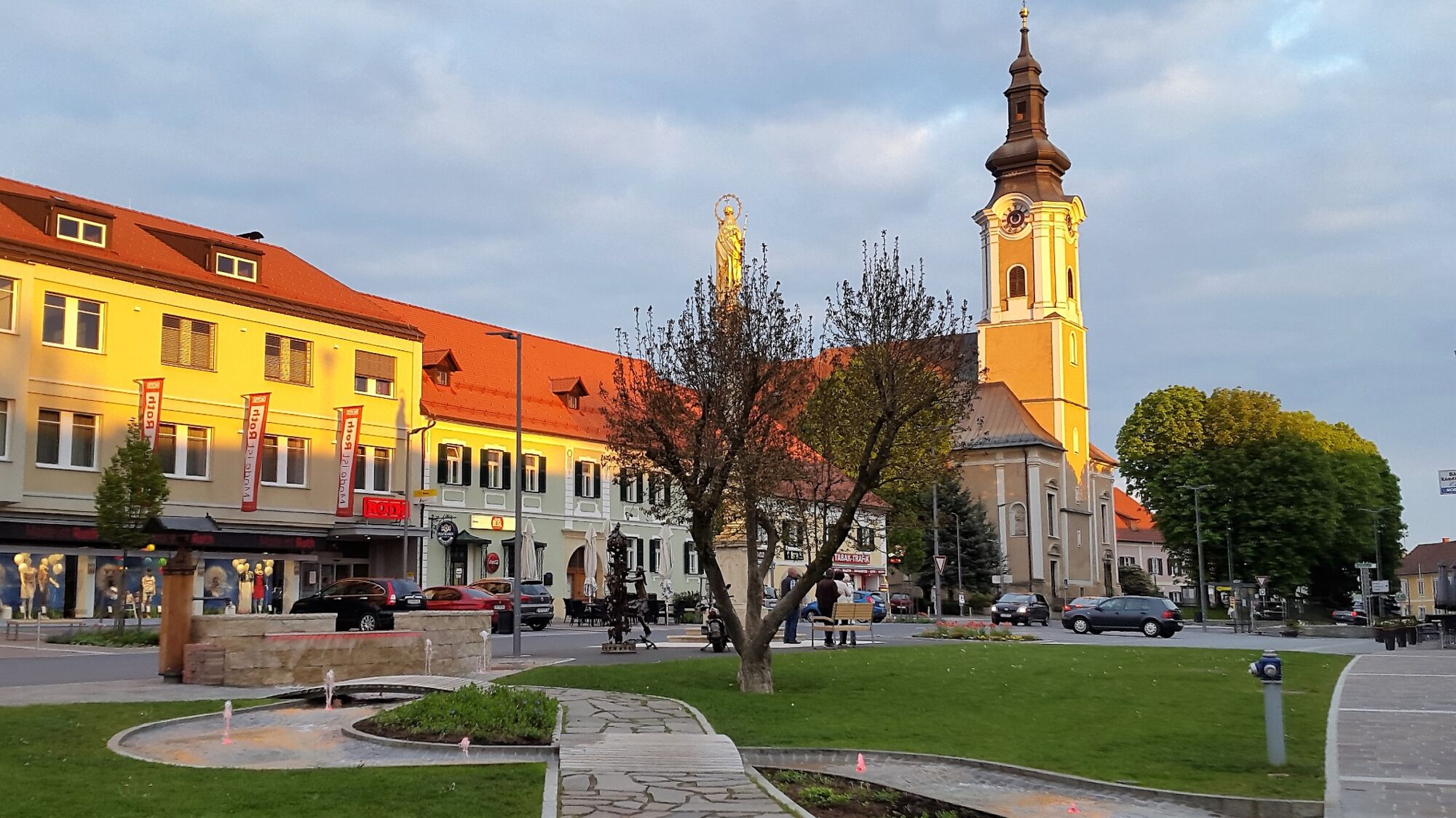
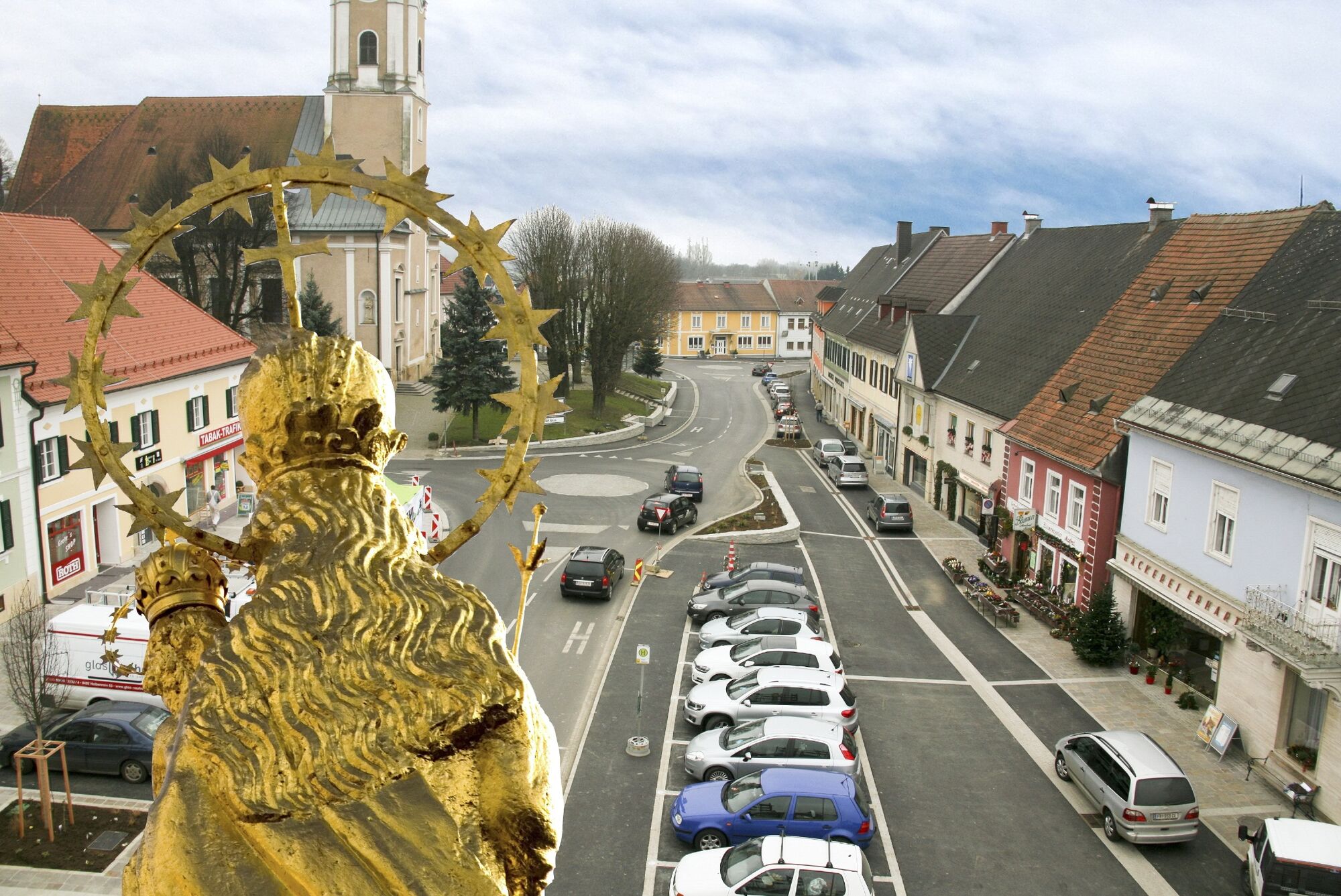
Gnas
- Route
-
Lichtenbergen1.3 kmKleindörfl2.3 kmEisenberg3.3 kmEbersdorf4.0 kmBircheregg4.9 kmDorfkapelle Krusdorf5.5 kmKrusdorf5.6 kmGasthaus Hesch6.8 kmPoppendorfberg10.6 kmWaxenegg11.0 kmHochegg13.2 kmLudersdorf13.9 kmHohewart20.2 kmWarth20.6 kmLamberg (416 m)26.0 kmTrummer-Kapelle28.9 kmGatteregg28.9 kmLichtenegg33.0 kmKögerlegg (440 m)35.0 kmRieglberg36.6 kmOberauersbach37.6 kmDornfeld38.8 kmOberzirknitz39.1 kmNieslkapelle40.4 kmGstättenfeld40.4 kmRadisch43.0 kmAug43.9 kmAugberg44.1 kmGrabersdorf47.4 kmDie Mühle47.4 kmKapelle Grabersdorf47.4 kmRaning50.3 km
- Best season
-
JanFebMarAprMayJunJulAugSepOctNovDec
- Description
-
Interpreter wanted?
Many "Tatschker" still exist today in southeastern Styria. "Tatschker" are frogs. And around Gnas is the "Tatschkerland". This is what the "Flaschelbauer" says, of whom actually very few people know what his real name is, because here in southeastern Styria people only know and call the vulgo names, the speaking house names. One talks with the "Bachschallerl", from the Bergfastl, lets the "Peinfranz" give a greeting and then goes on to the "Lippweber" or to the "Fellhiasl". And if the "Peinsimmerl" and the "Hamburgweber" talk, then the non-native, the "Zuagroaste", has to pass, because he doesn't understand anything.... he can only "lousn", which means "to hear".
Tips for cyclists along the Tatschkerland tour:
-Art & Food
Gnas
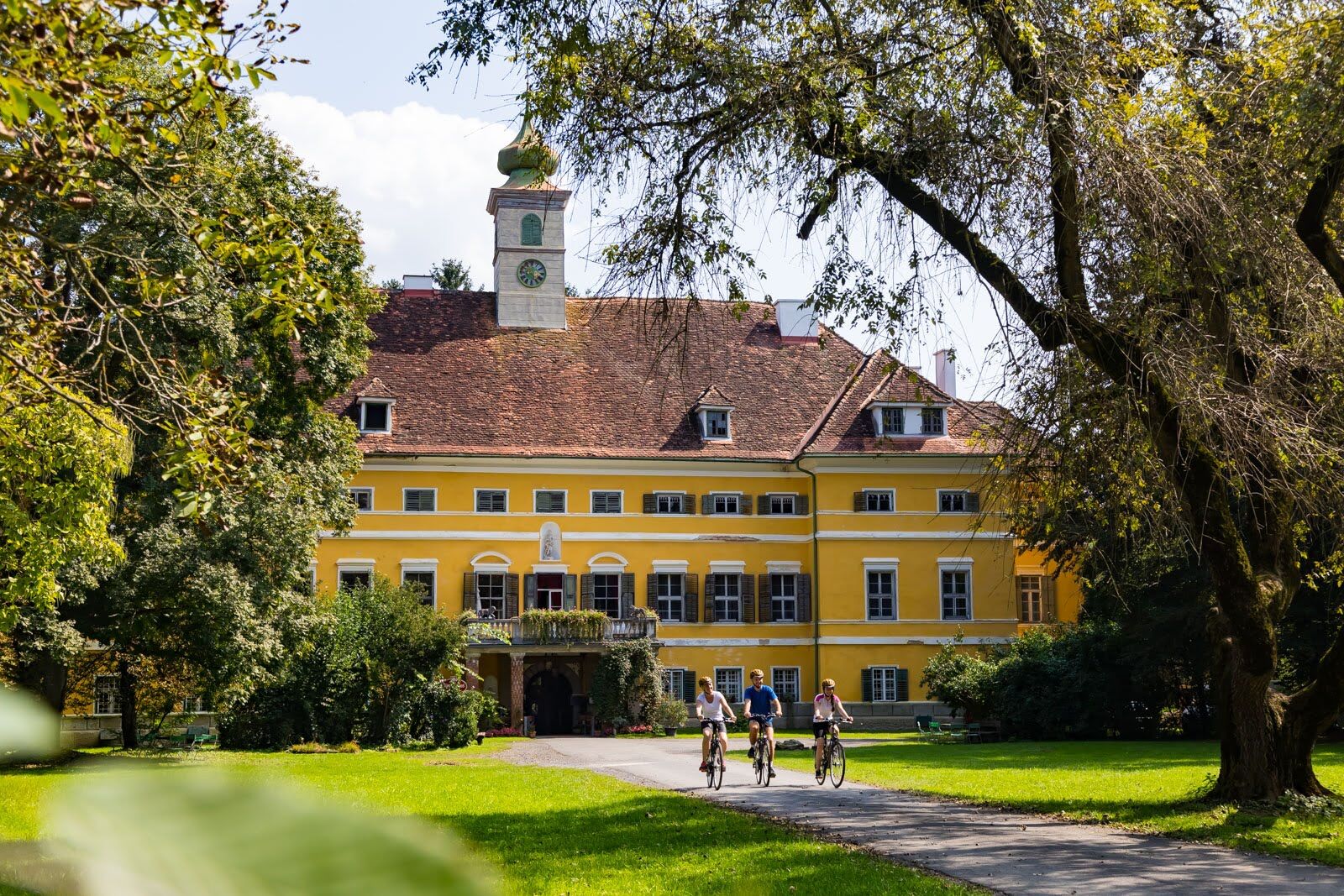
-Castle Poppendorf
Poppendorf
Old baroque castle on a hill southwest of Poppendorf
-Leather Art Orend
Poppendorf, www.orend.cc
Handmade small handicrafts
-Winery and Buschenschank Huber
Pernreith, www.weinhof-huber.at
Excellent Buschenschank
-Biobauernhof Hans and Gabi Hofmeister
Kohlberg, www.hof-meister.com
Organic farm
-Ceramic Stoißer
Oberauersbach, www.kachelofen-stoisser.at
Construction of tiled stoves and ceramics courses
-Model airfield Dietersdorf
Gnasbach valley in Dietersdorf
-Kernel oil mill Grabersdorf
Grabersdorf
Production of kernel oil
-JUFA Wellness
Gnas, www.jufa.eu
Indoor swimming pool, sauna, steam bath, solarium, fitness studio with Dr. Wolff equipment, massages, sports programs
-Therapy center practice Noah
Gnas, www.praxis-noah.com - Directions
-
Experience the tour of the frogs
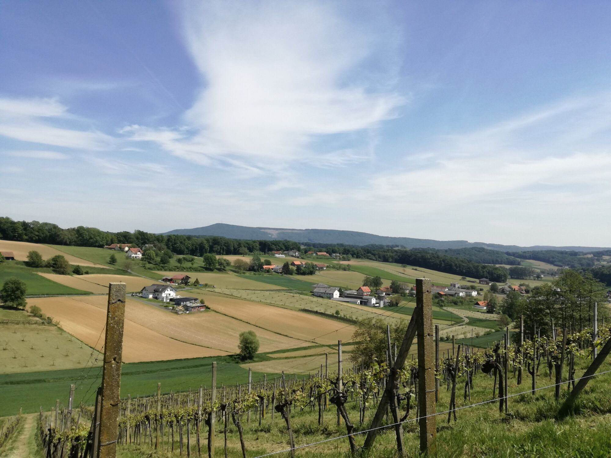
The tour starts from the Gnas Youth and Family Guesthouse via Lichtenberg and Ebersdorf to Krusdorf. There the easy variant leads through the valley via Poppendorf (past Poppendorf Castle, Katzendorf, Maierdorf, Kinsdorf to the former Hammerwirt), the more challenging one via the "Gasthaus Hesch" to the ridge, with a wonderful view of Poppendorf Castle and the witnesses of volcanic activity Gleichenberger, Stradner and Kapfensteiner Kogel.
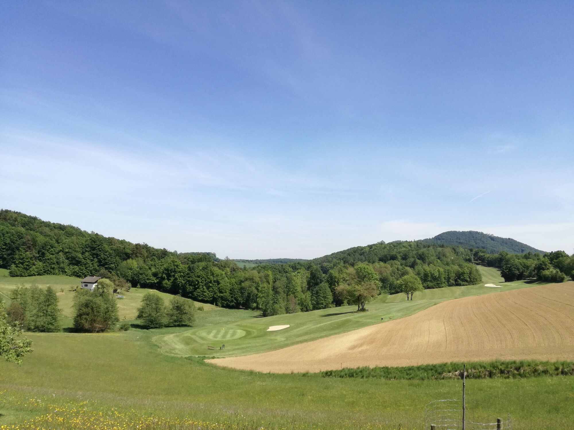
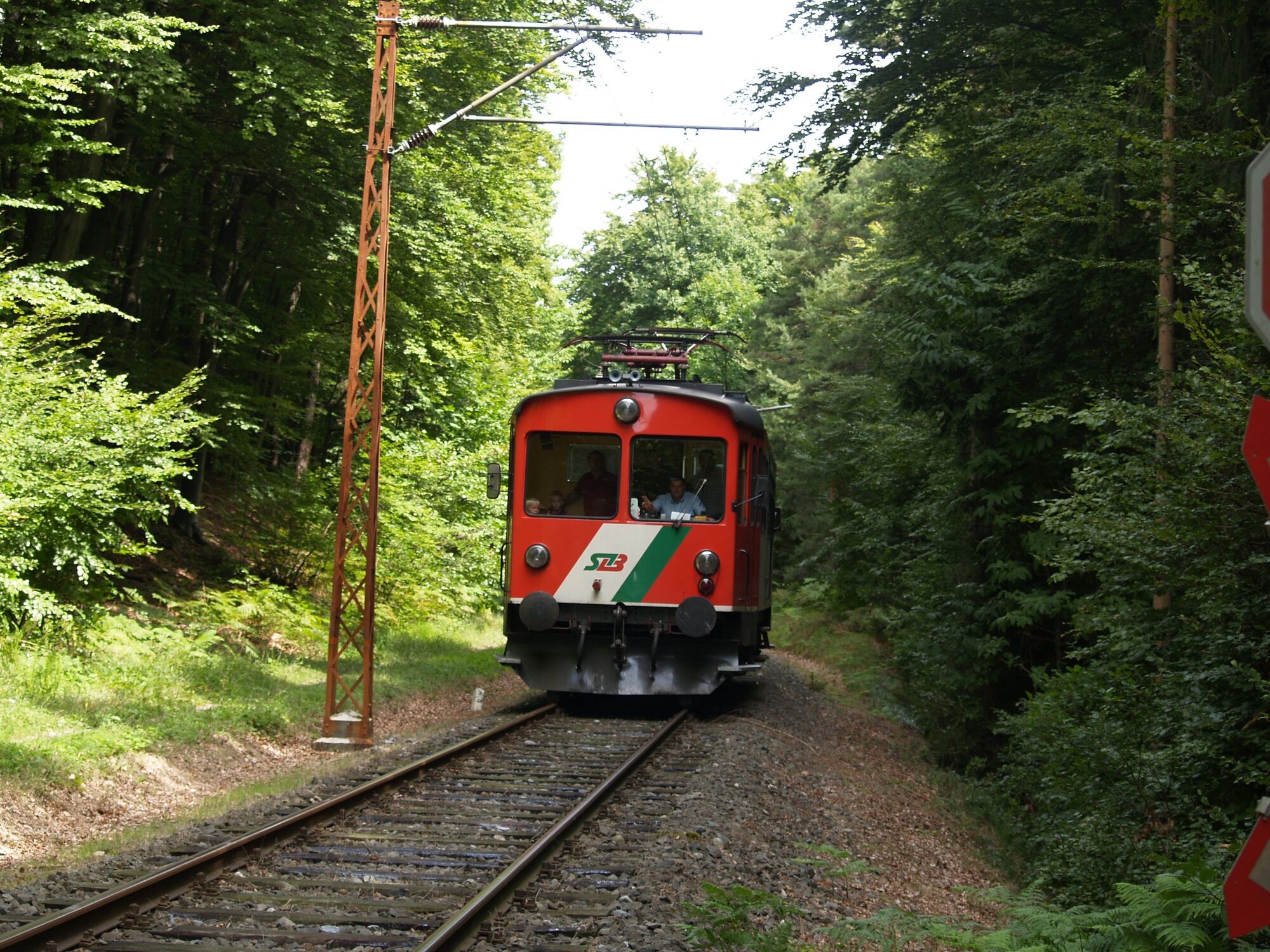
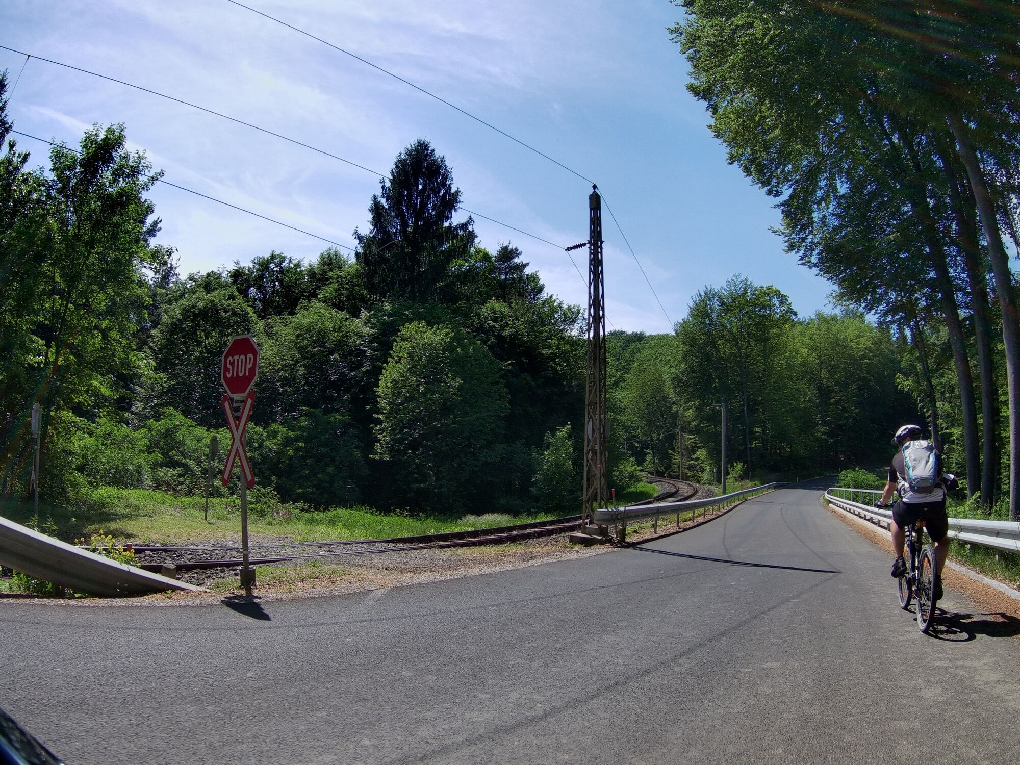
Passing the memorial stone and "Lederkunst Orend" you will reach the main road in the direction of Trautmannsdorf, where you turn right. Along the "Obstlandwanderweg" you get via Hochegg to the Landesbahn , to the Rindenkapelle, left past the golf course in the direction of Nagerlkapelle to the stop Prädiberg. In Prädiberg you have the possibility to take a shortcut in the direction of Gnas: Along the Landesbahn and the "Gnastal- Höhenweg" you can walk on forest paths and later on paved gravel paths beautifully and slightly downhill via the stop Fischa and the station Gnas back to the starting point - an absolute insider tip.
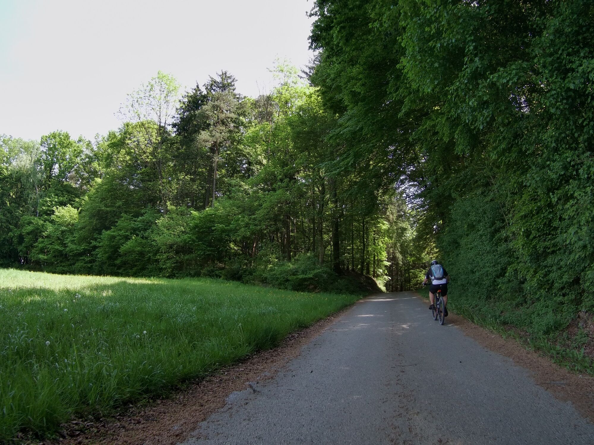
The "original" Tatschkerland tour continues to the gas station on the main road, here you go down the serpentine to the Buschenschank Huber, where you turn off in the direction of Höhenkamm; along the hiking trail you cycle "on the Schneid" with a wonderful view of the Saazkogel and the Raab Valley.
At the turnoff to Gasthof Weninger you cycle again via Siegelegg, the "Alm", Perlsdorf, Kohlberg and Obergnas back to Gnas. Continue on the Schneid to the organic farm Hofmeister, to the Schoberkapelle and to the former Schoberwirt - here is also the next shortcut option (via Baumgarten and Wörth).
Pedal, look and enjoy.
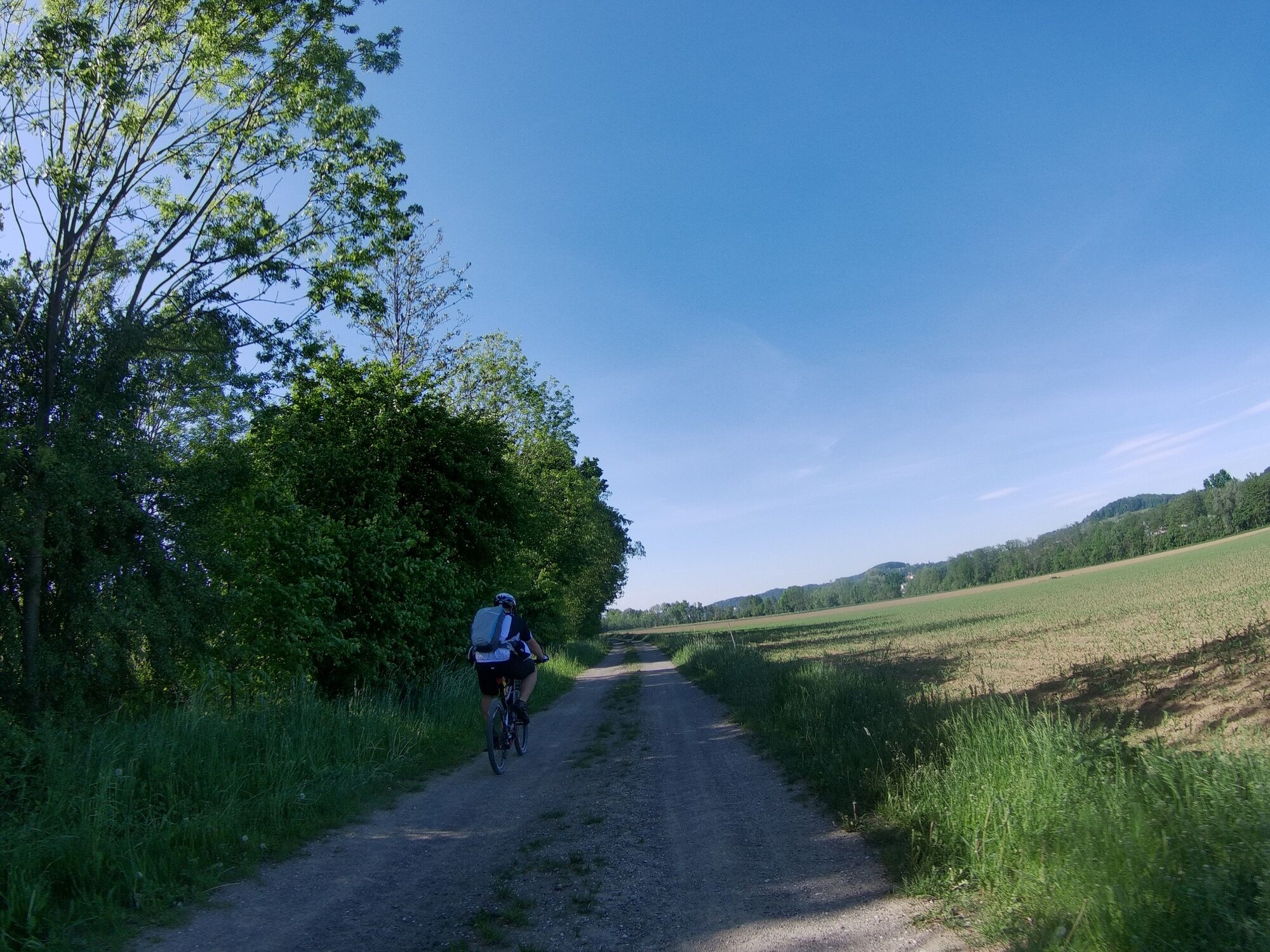
On the provincial road in the direction of St. Stefan/Rosental to the "Dead Man" and up to the left in the direction of Lichtenegg you will enjoy wonderful views to Jagerberg and the Glojacher Chapel. Afterwards you pass the Anna Suppan memorial via Riegelberg, Zinskapelle and Nisselkapelle in the direction of Unterauersbach to Aug-Radisch and then over a beautiful forest section via Asselberg and Harbach to Grabersdorf, where the "Gasthof zur Mühle" and the Kernölmühle invite you. From Grabersdorf it is also not far to the model airfield in Dietersdorf. The crowning conclusion of the Tatschkerland tour is the return trip to the starting point along the Gnasbach.
- Highest point
- 450 m
- Endpoint
-
Gnas
- Height profile
-

- Equipment
-
Touring bikes or city bikes are recommended. Tip: A basic equipment of tools and accessories such as spare inner tube and/or repair kit, spanner, air pump, brake and shift cable as well as a screwdriver can never hurt.
- Safety instructions
-
Emergency call mountain rescue: 140
ambulance: 144
European emergency call: 112
firefighters: 122
police: 133Tips when reporting an emergency – Answer these six WH questions: What happened? How many people are injured? Where did the accident happen (are there GPS coordinates)? Who is reporting the incident (callback number)? When did the accident happen? What is the weather like at the site of the incident?
- Tips
-
A special treat is the return trip along the Landesbahn from the Prädiberg stop back to Gnas.
- Additional information
-
Recommended direction of travel: counterclockwise
Connection/ Networking: Kraftquellen Tour and R45 to the east, Wine and Water Tour to the south.
Here's where to get the best bike rides:
-Tourism Association Gnas - Info Office
8342 Gnas 46
+43 3151 2260
tvb@gnas.gv.at
www.gnas.gv.at
Mon-Fri 8.00-12.00 hrs
-JUFA Gnas Sport Resort
8342 Gnas 194
+43 5 7083-230
gnas@jufa.eu
www.jufa.eu
Mon-Sat 8.00-24.00 h, Sun and public holiday 8.00-22.00 h - Directions
-
Arrival from:
-Graz A9 direction Slovenia (exit Wundschuh or Wildon) and then via St. Stefan im Rosental (5min)
-Leibnitz best via St. Stefan im Rosental (5min)
-Gleisdorf or Fürstendfeld via Feldbach (10-15min)
-Vienna A2 direction Graz exit Ilz-Fürstenfeld - Public transportation
-
Detailed information about arriving by ÖBB (Austrian Federal Railways) can be found at www.oebb.at or on the Verbundlinie Steiermark website www.busbahnbim.at
With Verbundlinie’s BusBahnBim route planner app, planning your journey has never been easier: simply enter towns and/or addresses, stop names or points of interest to check all bus, train and tram connections in Austria. The app is available free of charge for smartphones – on Google Play and in the App Store
- Parking
-
There are numerous parking spaces available in the village of Gnas.
Tip: Park at Gnas train station and take the "Dschungelexpress" (Prädiberg stop) for the return trip.


-

-
AuthorThe tour Tatschkerland tour (Tatschkerland Tour) is used by outdooractive.com provided.


General info
-
Oststeiermark
375
-
Bad Gleichenberg
169
-
Gnas
49