- Brief description
-
On the trail of pilgrims and pilgrims from the famous Pöllau parish church to the Maria Fieberbründl pilgrimage church, the largest pilgrimage site in Eastern Styria.
- Difficulty
-
medium
- Rating
-
- Starting point
-
Pöllau, parish church
- Route
-
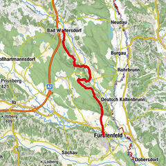
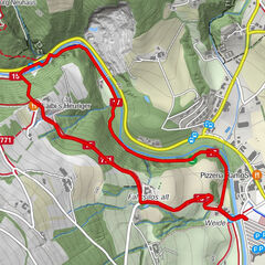
PöllauFreiberg3.0 kmNaturjuwel Schönauklamm6.5 kmSchönau bei Pöllau6.8 kmSchönaudorf7.1 kmBuschenschank Safner7.2 kmFahring8.0 kmHofkirchen bei Hartberg11.5 kmObertiefenbach12.6 kmKirchenwirt Durlacher14.3 kmWallfahrtskirche Maria Fieberbründl14.4 kmMaria Fieberbründl14.4 km
- Best season
-
JanFebMarAprMayJunJulAugSepOctNovDec
- Description
-
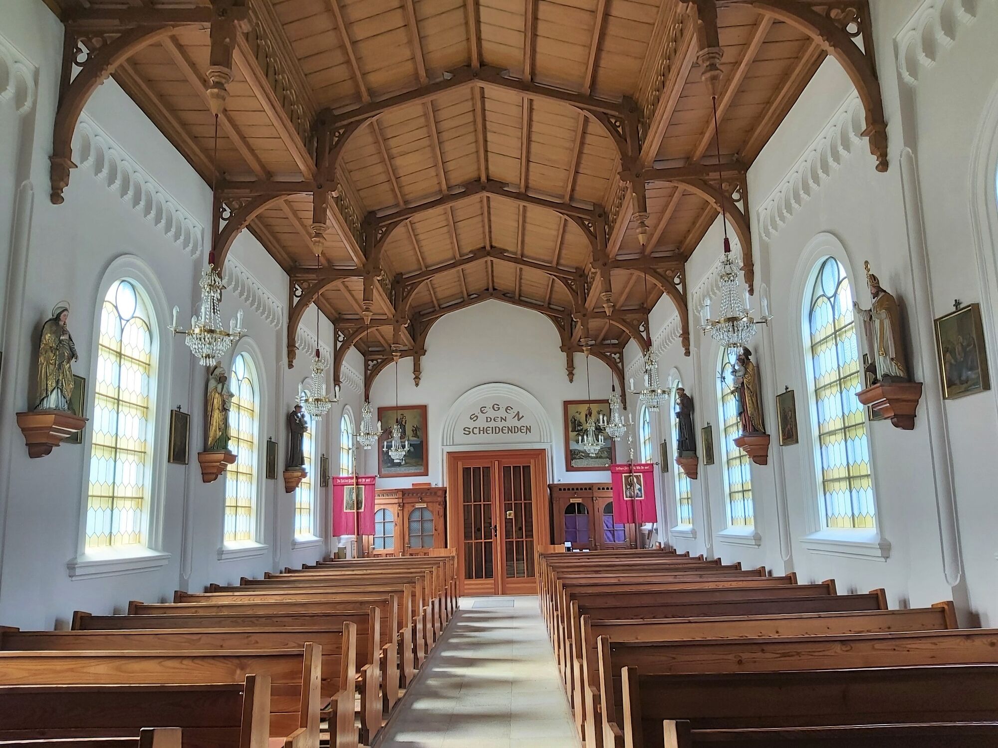
The starting point of this pilgrimage trail is the castle park next to the beautiful, baroque parish church in Pöllau, which is part of the former Augustinian canons' monastery. While the church is known as the "Styrian St. Peter's Cathedral" due to its resemblance, the former monastery is simply called "the castle" by the locals. The well-preserved village center and the enchanting castle park also contribute to the popularity of the village among guests from Austria and abroad.
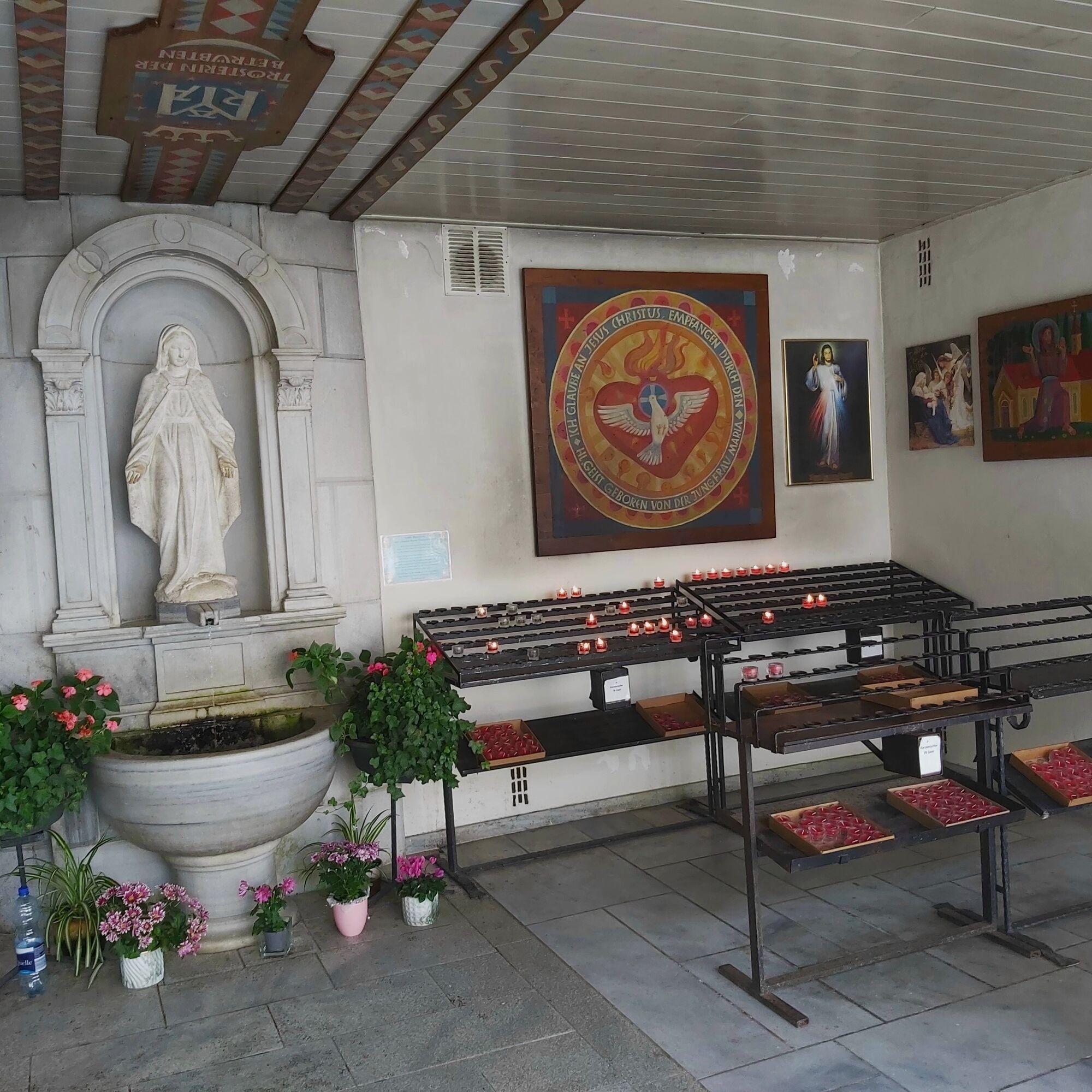
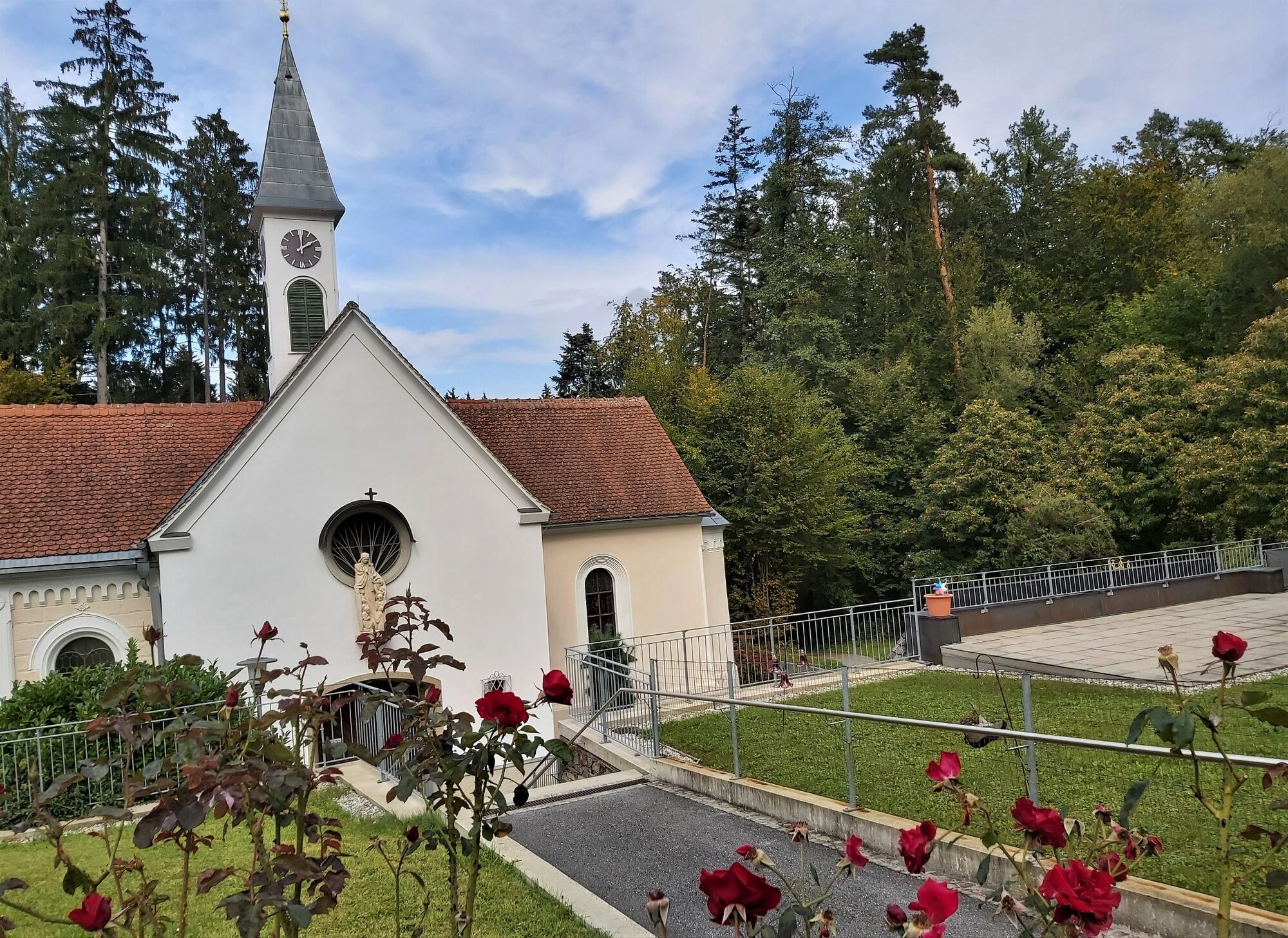
The church of Fieberbründl, on the other hand, is a simple church, but with almost 60,000 pilgrims a year, it is one of the most popular pilgrimage sites in Styria. The water from the spring, which rises right next to the church, is said to help with fevers in particular.
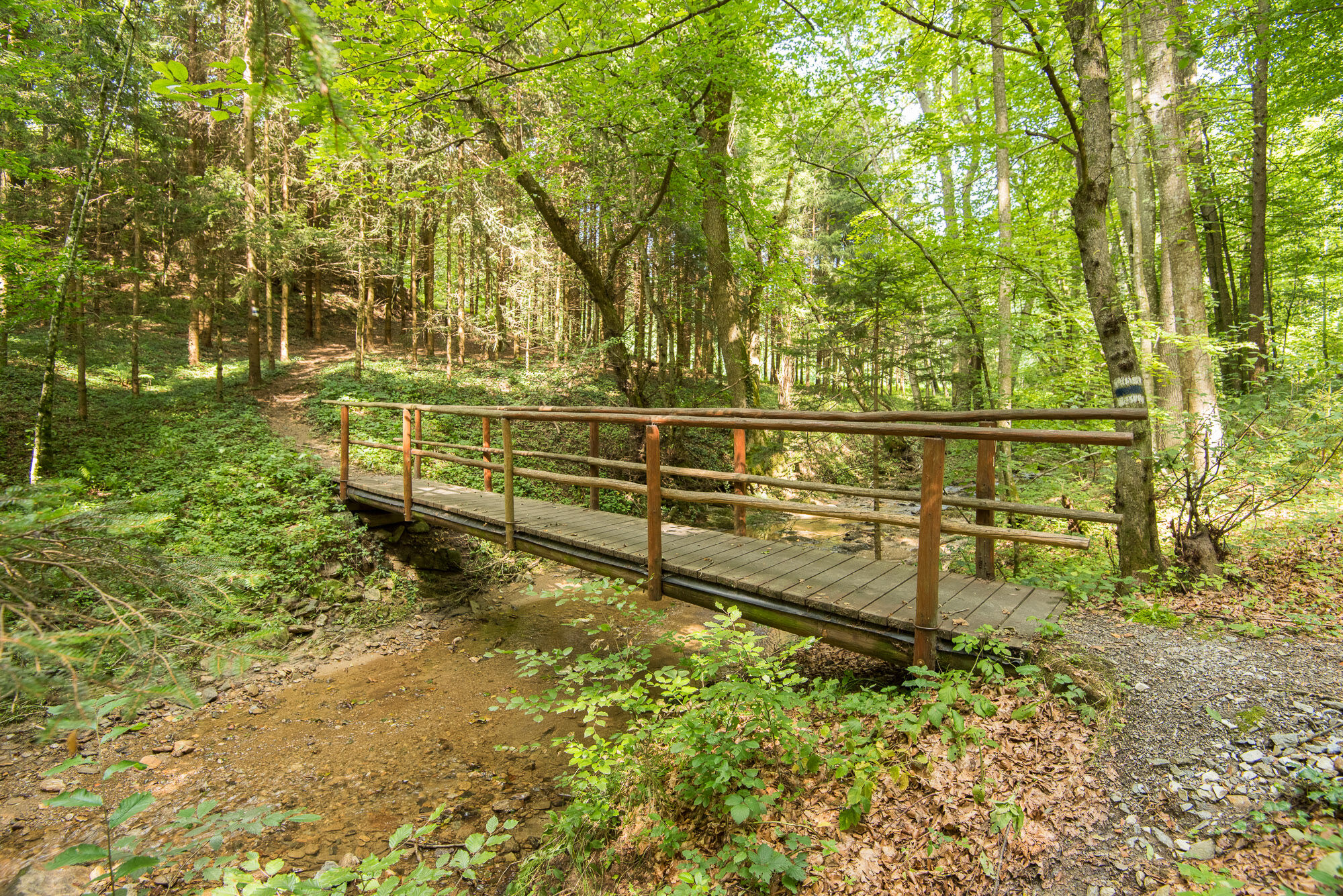
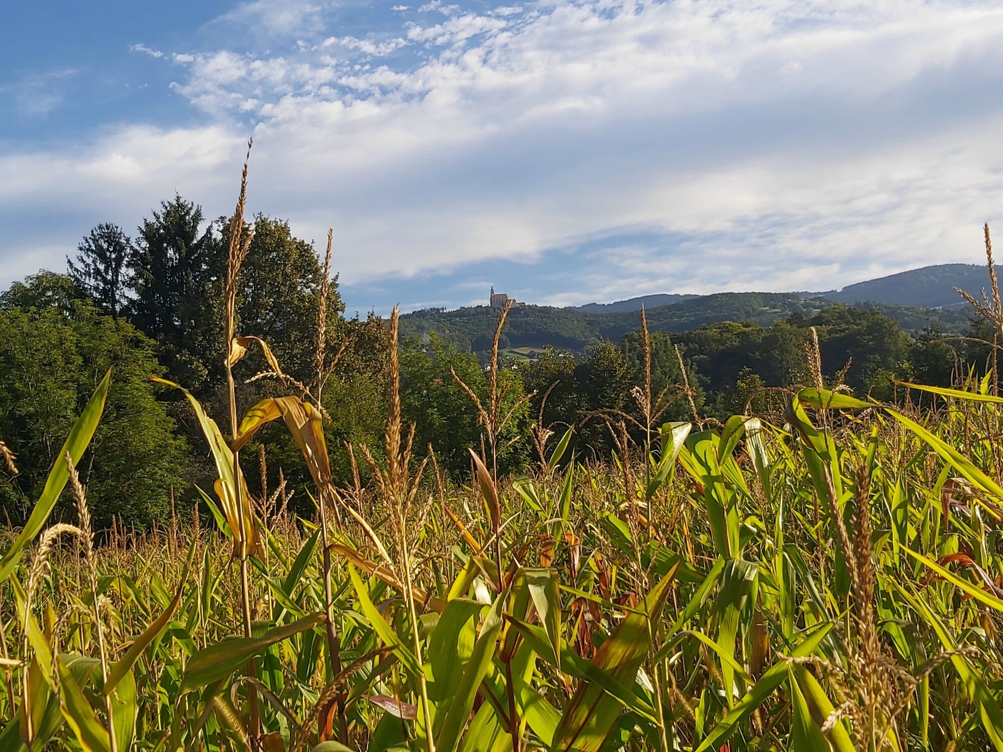
The pilgrimage trail in the Pöllau Valley Nature Park first leads through the idyllic Schönauklamm gorge and then past the Gothic church in the small village of St. Stefan. The path then continues along fields and orchards and always with a view up to the pilgrimage church of Pöllauberg.
An easy trail, but one that requires a bit of stamina.
- Directions
-
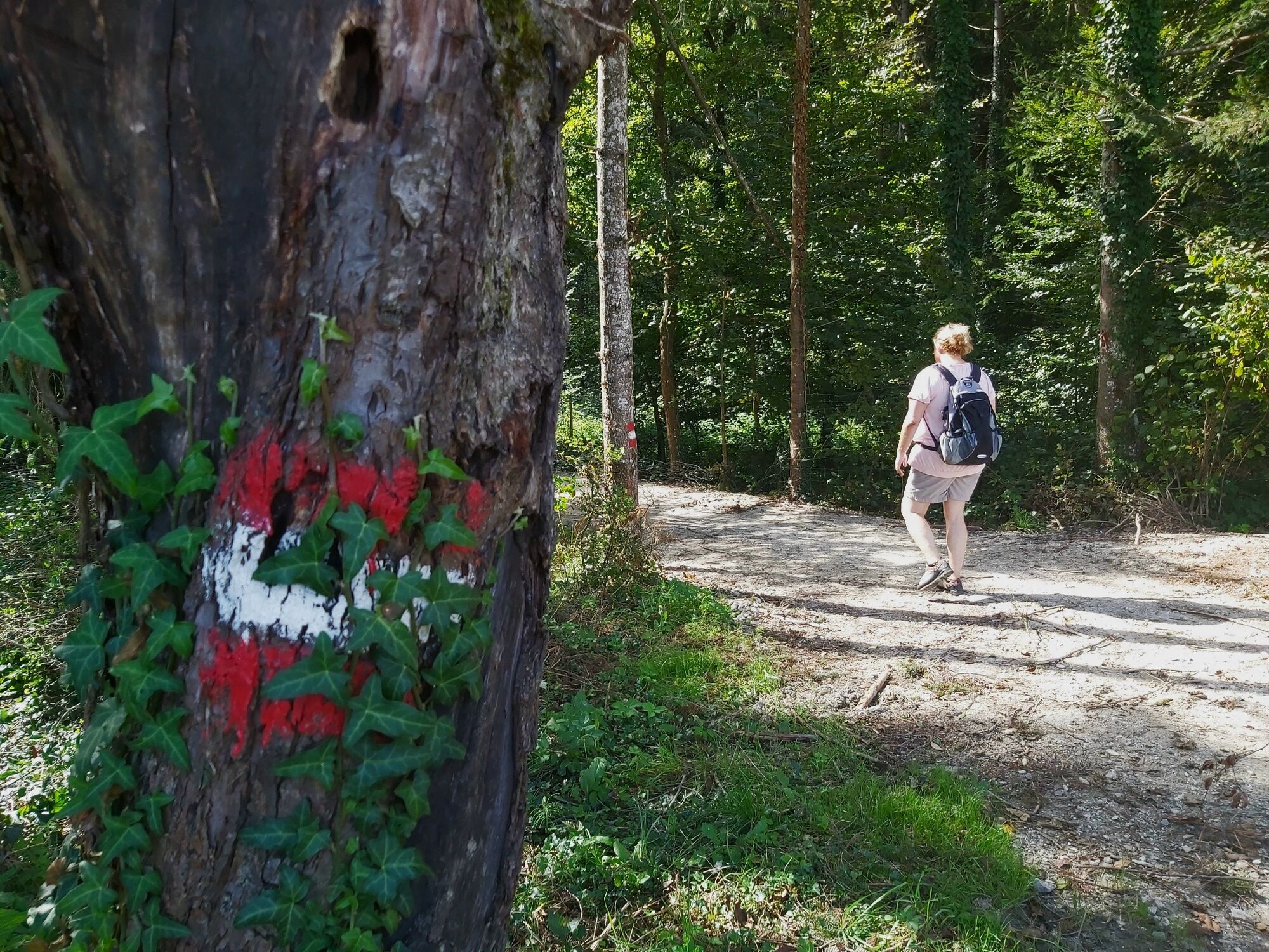
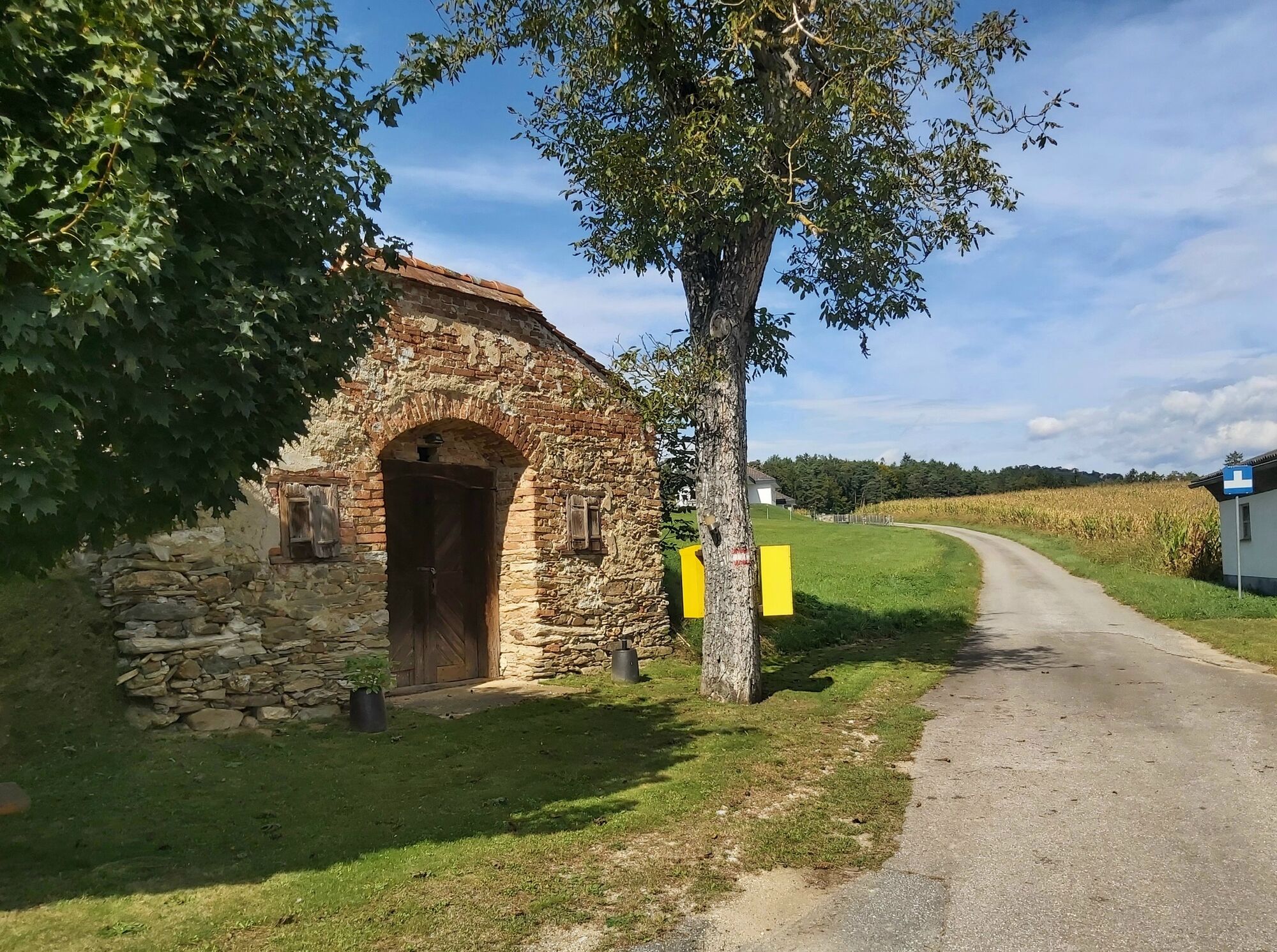
The path is signposted throughout with "Fieberbründl/Weg-Nr. 945", sometimes with the additions "Schönaudorf" and "durch Schönauklamm".
For the return journey, please order a SAM shared cab to Maria Fieberbründl/Station HF7038 in good time.
Please be sure to check the opening hours of the restaurants BEFORE the hike!
Start: Signpost in the castle park in Pöllau
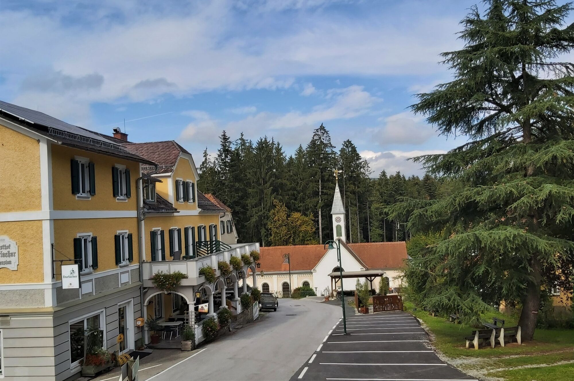
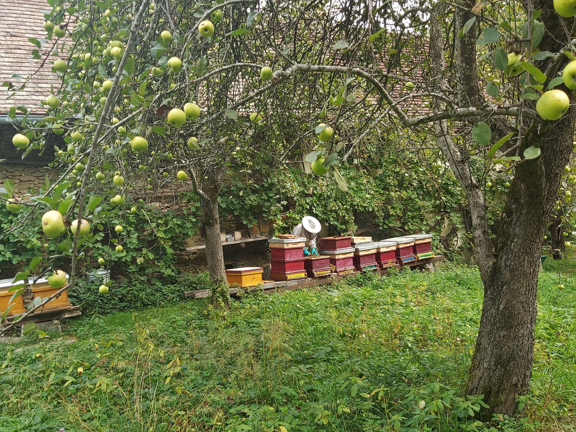
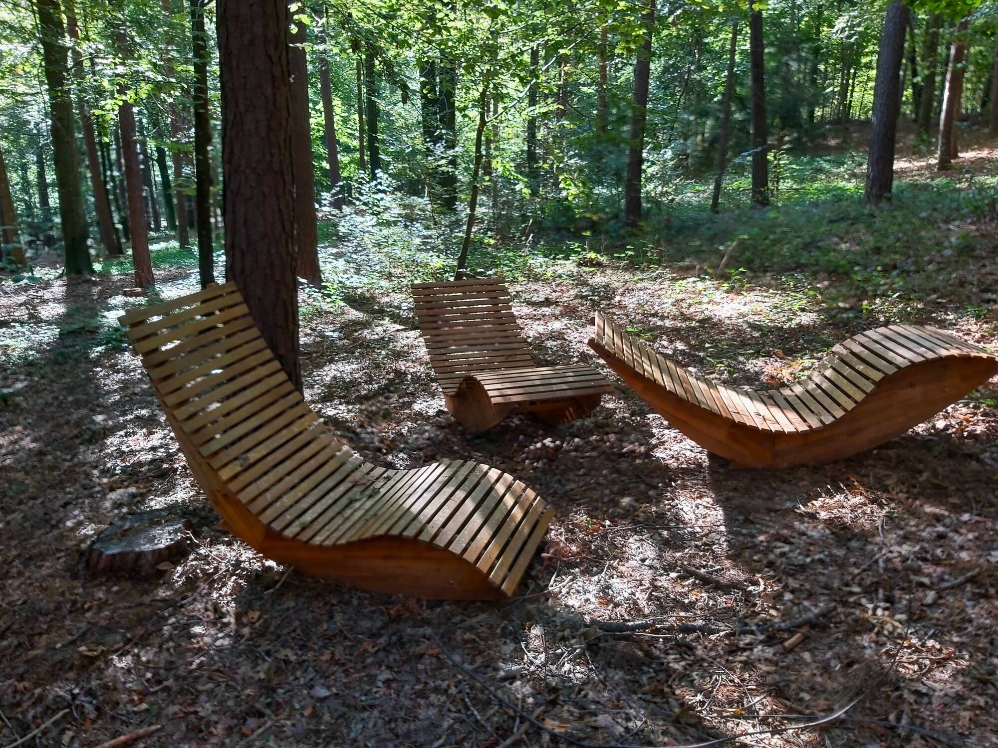
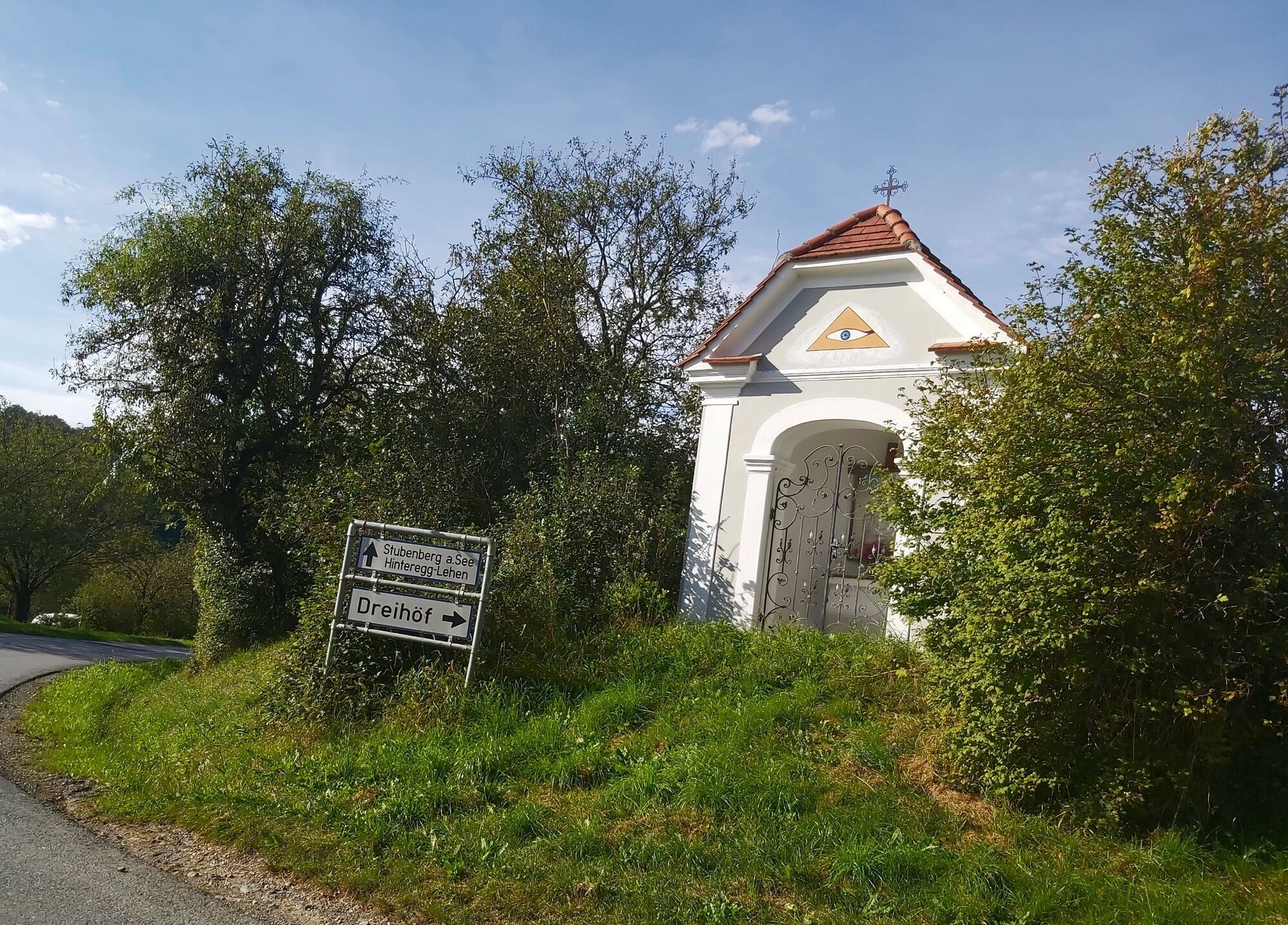
We start in front of the large signpost in the park and walk out to the left until we reach the road. There we turn left, walk a short distance and then turn right and continue straight ahead, past the crossroads ("Laufstrecke" or red-white-red markings). Immediately after the bridge, we turn left and continue "Via Schönaudorf to Fieberbründl" (in the direction of the Buchberger company on the right-hand side). At the next major road junction, continue straight ahead, the path now runs along the R57 cycle path. At a beautiful pink wayside cross, we continue left and are now in the forest.We reach a farmstead with beehives and a paddock and turn right towards "Schönauklamm". As soon as we leave the forest, we keep to the right and walk up along the edge of the forest. We are now in the Schönauklamm gorge, cross the stream and continue to the edge of the forest. There we turn left out onto the country road. Turn right at the country road and walk up the road past a wayside chapel. We now walk uphill and soon reach "Hinteregg" at the "Bergerkreuz". We turn left, walk out a little way and turn left down into the forest at the nature park school. A section of path in the forest and then immediately turn right and continue straight ahead. At a crossroads, turn left downhill to a rest area with "frohnatur" loungers, where you can take a break if you wish. However, the path continues straight ahead. We soon come to a country road, which we cross. The path leads straight on down into the Schönauklamm gorge. We leave the footbridge on the right and continue straight ahead. Passing a ruin, we now walk directly along the stream. We cross the bridge on the right and continue left along the stream bank. We walk past a few houses until we reach the asphalt path and turn left over the bridge. We walk ahead to the large crossroads in Schönau ("Hirschbirn hirschen" station!) and continue along the asphalt road on the right. At the next crossroads, we turn left towards "St. Stefan/Hofkirchen" and continue along the asphalt road. Only a short distance, then we turn right after the crossroads.A few meters further along the farm track and we turn left into the forest. We cross the stream and continue straight ahead. Cross a meadow and turn left between the fields. Pass a beautiful earth cellar and a wayside cross, cross the road and continue straight ahead. Just around the house and then turn right again into the forest and then left slightly uphill. We now walk a little steeply uphill and then immediately turn left into the forest. Back on the asphalt road, we turn left downhill. At the next junction, we turn right and continue along the asphalt road, now uphill again. Immediately after the "Hofkirchen" signpost, we turn left downhill. Continuing along the forest, we now reach the first orchards. As soon as we reach the asphalt path again, we cross the meadow in front of the Ballonhotel Thaller and then turn right onto the footpath. The Kulm is directly in front of us. Across the meadow we are back on the asphalt path, we go down to the left, cross the path and go straight on into the meadow path again (ground markings!)Continue right through the forest and straight ahead across the meadow. We have now reached the village of "Obertiefenbach" and walk downhill in a left-right combination to the main road. At the country road, we turn left and walk along the sidewalk for a short distance. We cross the road and continue to the right, passing a fish pond on the left. The meadow path now leads out to the right, at the fork in the path in the forest we keep right and are soon at the top of the road. We cross the gravel path and continue down the other side. We cross two small bridges and have already reached our destination of Fieberbründl. Shortly before the church, we pass the turn-off to the graduation house, which is well worth experiencing. - Highest point
- 488 m
- Endpoint
-
Kaibing, Maria Fieberbründl pilgrimage church
- Height profile
-

- Equipment
-
Small rucksack with water bottle (+ provisions)
Sturdy shoes
Appropriate clothing - preferably several layers - "onion principle"
Rain and sun protection
Hiking poles as required
Cell phone
Small first aid kit
Route description
Before starting the hike, check where you can stop for refreshments, including opening times, or pack suitable food and drink. - Safety instructions
-
Important telephone numbers: European emergency call: 112 Emergency call mountain rescue: 140 (if possible, please provide GPS data) Rescue: 144 Fire department: 122 Police: 133
The trail is easy to walk and therefore suitable for the whole family.
Tips for even more hiking fun: Rules of conduct when hiking
A few tips on correct and fair behavior in the forest: (Source: www.bundesforste.at)
Hikers should avoid visiting the forest approx. 1.5 hours before sunrise and after sunset, as wild animals are particularly active at this time. Plastic bottles, handkerchiefs, cigarette butts etc. have no place in the forest! Please make sure that you do not leave any garbage in the forest. Camping and making fires is strictly forbidden in the forest! In principle, every person in the forest is allowed to collect 2 kg of mushrooms and berries per day for their own use. It is only prohibited if the forest owner expressly forbids it. - Tips
-
At Hotel Thaller in Hofkirchen, we can warmly recommend the regional cuisine, and when the weather is right, hot air balloons take off from the meadow there.
- Additional information
-
All information about the region, accommodation and excursion destinations can be obtained from the
Eastern Styria Tourist Board
Nature Park Pöllauer Valley office
Schloss 1
8225 Pöllau, Austria
- Directions
- Parking


-

-
AuthorThe tour Fieberbründlweg, Pöllau is used by outdooractive.com provided.


General info
-
Oststeiermark
2126
-
Naturpark Pöllauer Tal
1095
-
Pöllau
344