


- Brief description
-
Aberg tour ist a nice walking tour around Aberg in Pichl.
- Difficulty
-
easy
- Rating
-
- Starting point
-
Freizeitsee Pichl or Hotel Pichlmayrgut
- Route
-
Pichl bei Schladming0.1 kmPfarrkirche hl. Jakobus der Ältere0.6 kmPichl0.6 kmPfarrkirche hl. Jakobus der Ältere5.0 kmPichl5.1 kmPichl bei Schladming5.6 km
- Best season
-
JanFebMarAprMayJunJulAugSepOctNovDec
- Description
-
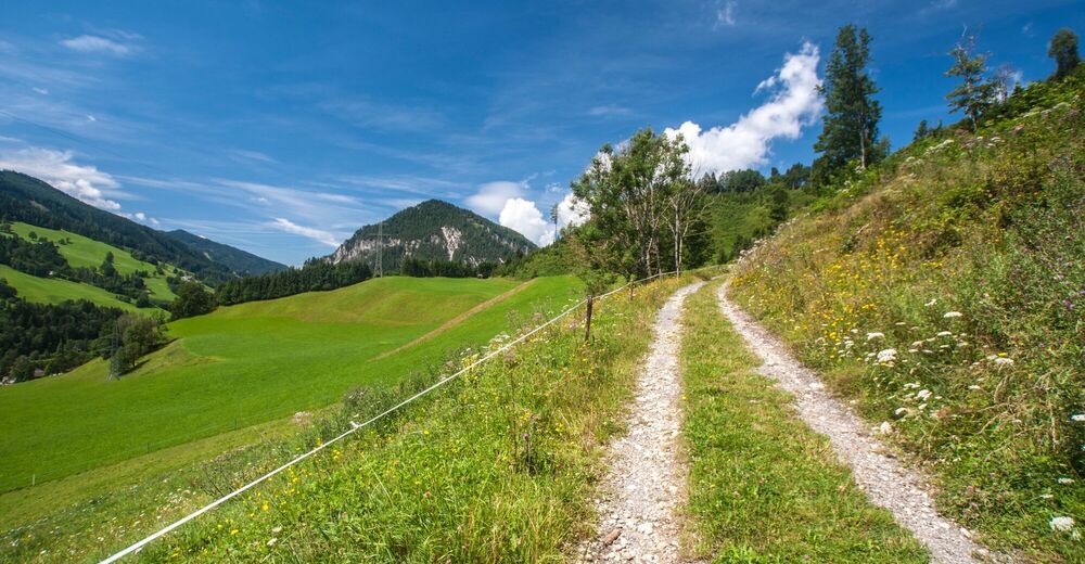
This walking tour takes you through Pichl and the "Grubdörfl" village. The tour runs along beautiful meadows on the sunny side of Ennstal valley. Also you pass by some beautifully situated farms.
- Directions
-
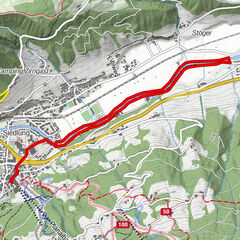
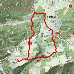
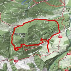
From the parking area of the Pichl lake resort we walk through the subway of the station Pichl to the actual starting point, the hotel Pichlmayrgut. The path leads slightly rising to the Aberg, above the wonderful Ennstal. Benches are inviting you to linger here. Through a short forest section you reach the road taking you to »Grubdörfl« village. Then we branch off right-hand sided, where a short stage leads us uphill to the Aberghöhe, which branch to the left side is the connection to the Halserbergrunde and the Rittisbergrunde. On the right side follows, slightly sloping, the circumnavigation of the Aberg. The path leads us to the Vorbergstraße. The branch to the left side is the connecting-way to the Vorbergrunde. We branch off right-hand sided to continue our Abergrunde through forest areas and meadows to the starting point.
- Highest point
- 964 m
- Endpoint
-
Freizeitsee Pichl or Hotel Pichlmayrgut
- Height profile
-

- Equipment
-
Good walking shoes and custom-fit Nordic Walking poles are the standard equipment. We also recommend a belt for carrying a drinking bottle.
- Safety instructions
-
Changes in weather patterns, quick falls in temperature, thunderstorms, wind, fog and snow are some of the dangers that can be encountered on a hiking tour. Hosts of alpine huts and mountain refuges have a lot of experience in the mountains and can give good advice about weather and the trails. Poor equipment, overestimation of one's own capabilities, carelessness, poor personal constitution and/or wrong judgement can lead to critical situations. In case of thunderstorms: avoid summits, ridges and steel ropes.
GPS data and orienteering
Available GPS data - just like hiking maps - is only a guidance for orientation and can never depict a trail exactly with all its details. Especially at dangerous spots it is essential to judge on site how to proceed.
In an emergency please call:
140 - for Alpine emergencies (all over Austria) 112 - European GSM emergency number - Additional information
- Arrival
-
Exit from the federal highway B320 in Pichl (approximately 4.5 km west of Schladming) and follow the signts to Freizeitsee Pichl.
- Public transportation
- Parking
-
Parking is available at Freizeitsee Pichl.


-

-
AuthorThe tour Aberg Tour is used by outdooractive.com provided.