
- Brief description
-
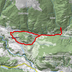
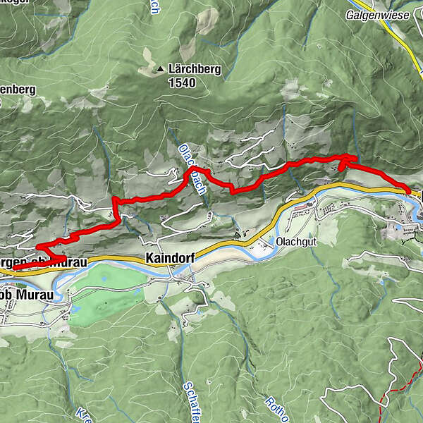
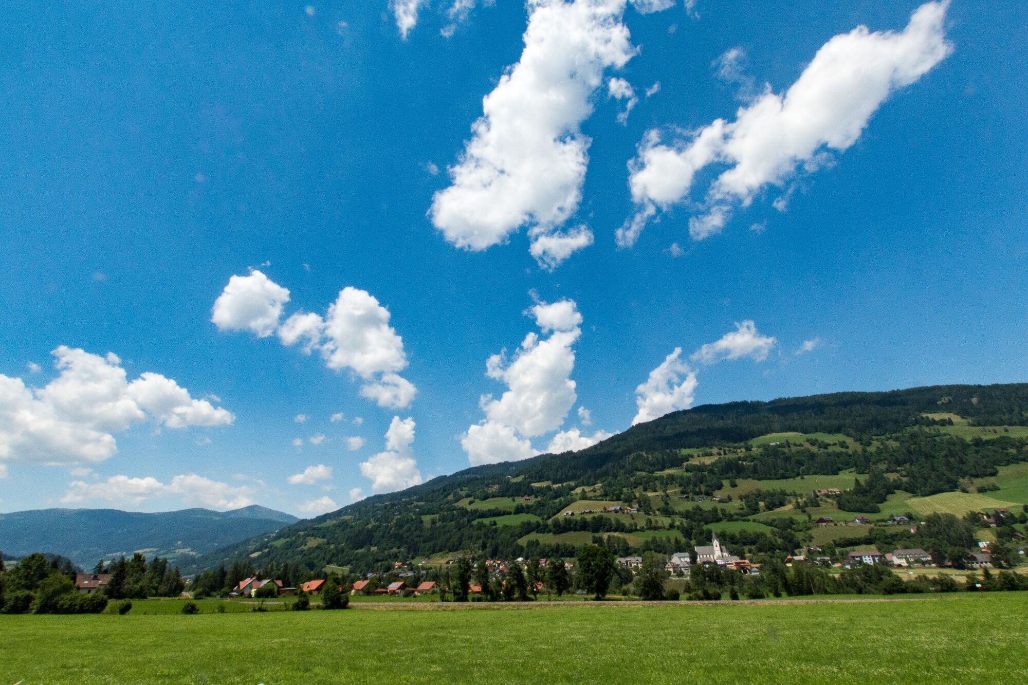
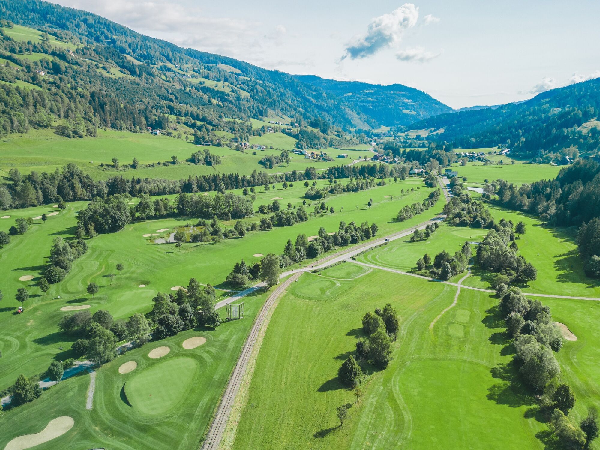
Leisurely hike from St. Georgen to Murau with a beautiful view of the golf course.
- Difficulty
-
easy
- Rating
-
- Starting point
-
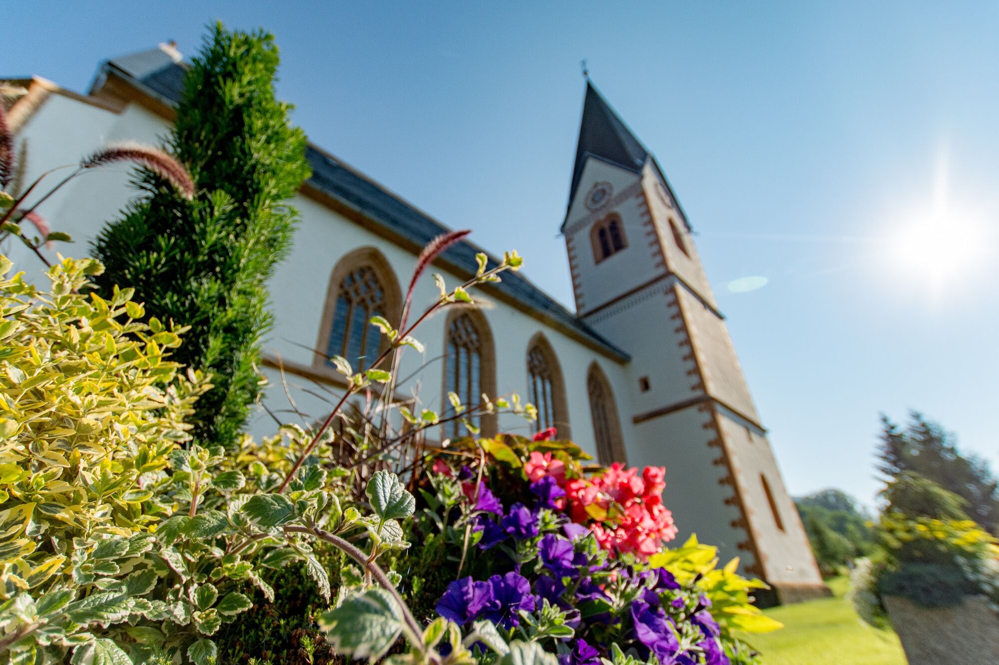
Parish church of St. Georgen ob Murau
- Route
-
Sankt Georgen ob MurauHotel PostPizzeria La Strada0.0 kmSt. Georg0.0 kmMurau (829 m)7.3 km
- Best season
-
JanFebMarAprMayJunJulAugSepOctNovDec
- Description
-
This easy hike is particularly suitable for families and children. Walk through the Murau region and discover one or two vantage points of the wonderful panorama of the Murau region.
- Directions
-
From the parish church of St. Georgen you walk towards Edling on a paved road (approx. 2km), then approx. 1.5km uphill on a gravel road. Then you keep to the right and cross a ditch for about 20 minutes. Now you walk across a meadow (watch out for grazing cattle!) and come back to an asphalted road, from here you go uphill for about 500 m. At the intersection you turn downhill on the asphalt road to Murau (approx. 3km).
- Highest point
- 1,096 m
- Endpoint
-
Murau
- Height profile
-

- Equipment
-
Good footwear (sturdy high shoes with non-slip soles), rain, cold and sun protection, sufficient drinks, hiking map, emergency equipment (first aid kit, blister plasters, etc.).
Packing your backpack correctly makes a lot of things easier: pack heavy things first. The water bottle should be stored within easy reach in a side pocket. Items that are often needed such as sunglasses, camera, hiking map, etc. belong on top. - Additional information
-
The ideal time for this tour is from May to October.
- Directions
-
From D, NL, B, F: Via Munich, Salzburg, Tauernautobahn to St. Michael/Lungau (or Radstätter Tauernpaß), turn off to Tamsweg - continue towards Murau.
From H: Via St. Gotthard, Graz – Packautobahn (Twimberg exit) – Judenburg – Scheifling – Murau – Kreischberg.
From CH: Via Arlberg, Innsbruck, Bischofshofen, Tauernautobahn.
From I: Via Tarvis, Villach, St. Veit/Glan, Scheifling, Murau, Kreischberg.
By car from Vienna: Via Semmering, Bruck/Mur, Judenburg, Scheifling, Murau, Kreischberg.
- Public transportation
-
With the BusBahnBim app from the interconnected line, timetable information is easier than ever before: all bus, train and tram connections in Austria can be queried by entering locations and/or addresses, stops or important points. The app is available as a free app for smartphones (Android, iOS) - on Google Play and in the App Store.
- Parking
-
Public parking spaces are available directly on the main square in St. Georgen ob Murau.
- Author
-
The tour Pisesweg from St. Georgen to Murau is used by outdooractive.com provided.