


- Brief description
-
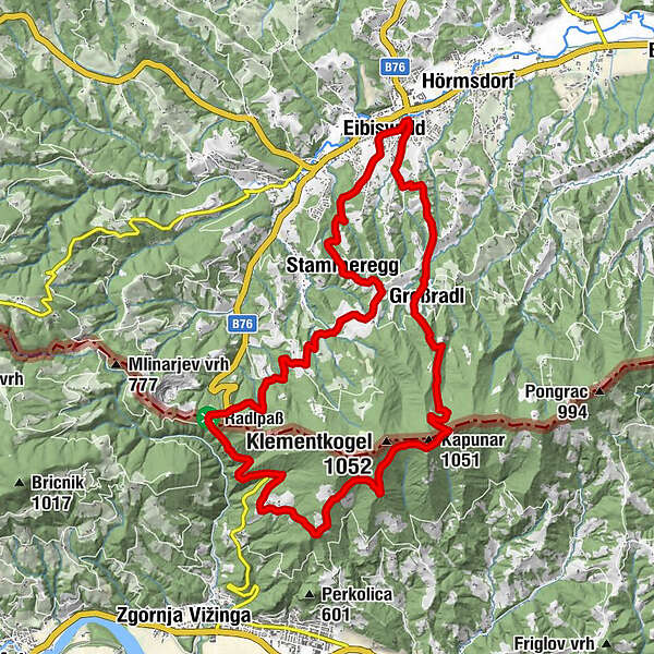
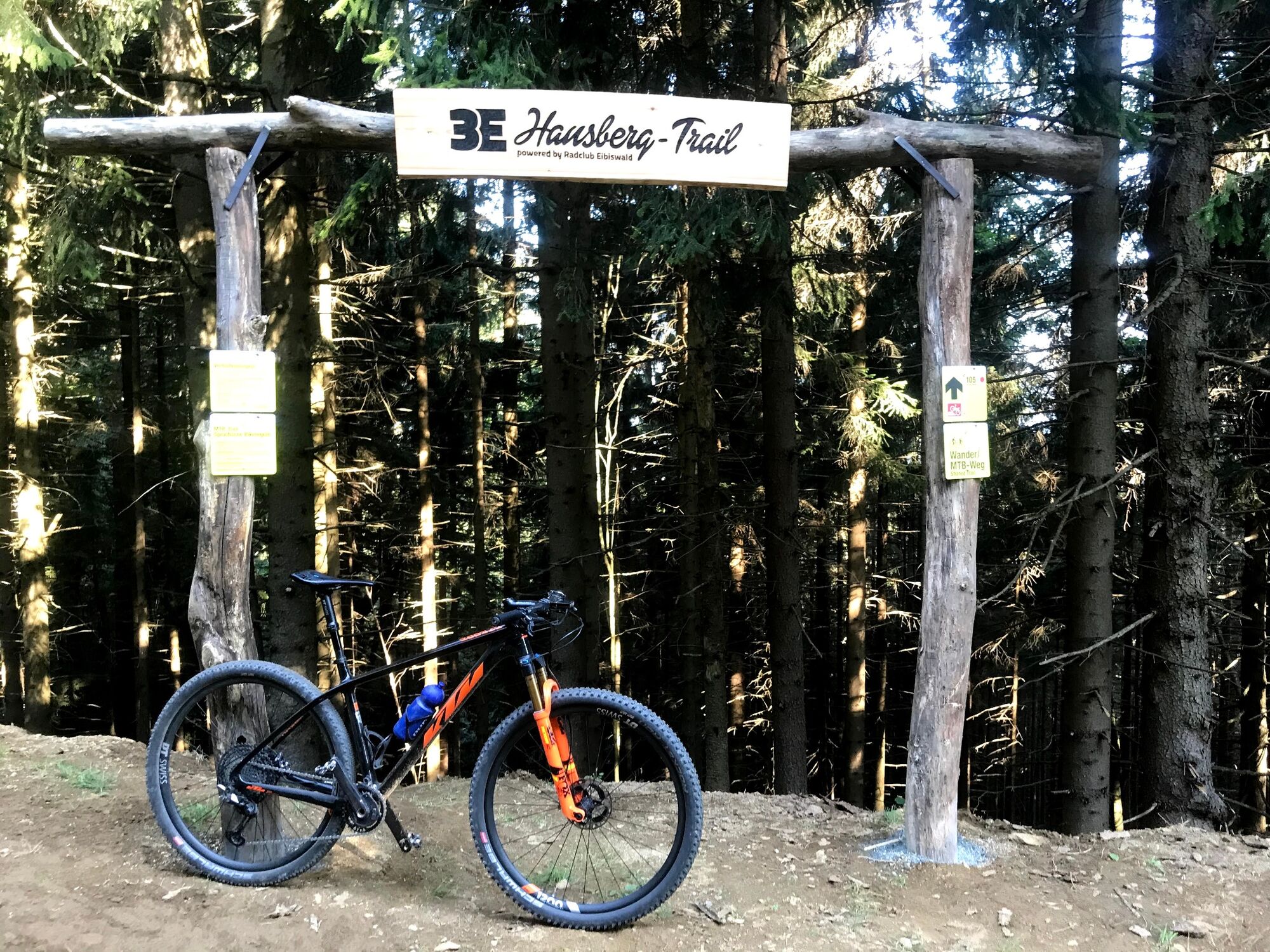
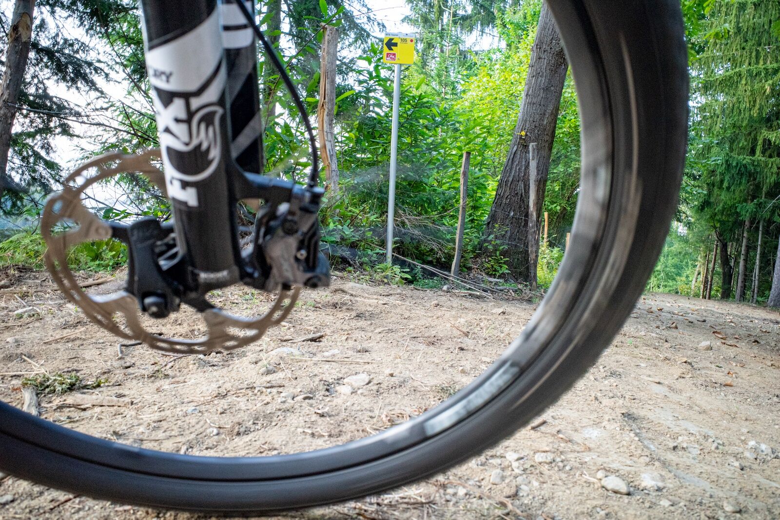
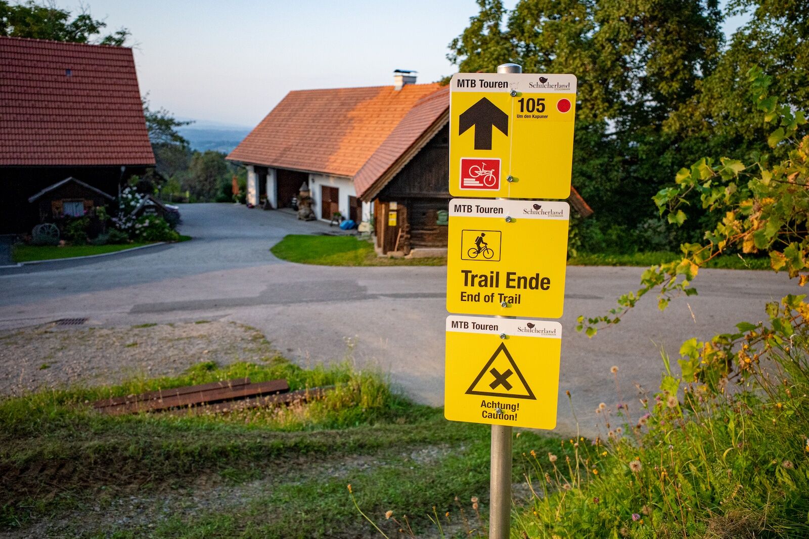
Signposted mountain bike tour no. 105 around the Eibiswald Hausberg with a crowning finish on the 3Eiben Hausberg Trail.
- Difficulty
-
medium
- Rating
-
- Starting point
-
Eibiswald church square
- Route
-
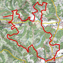
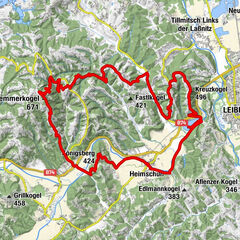
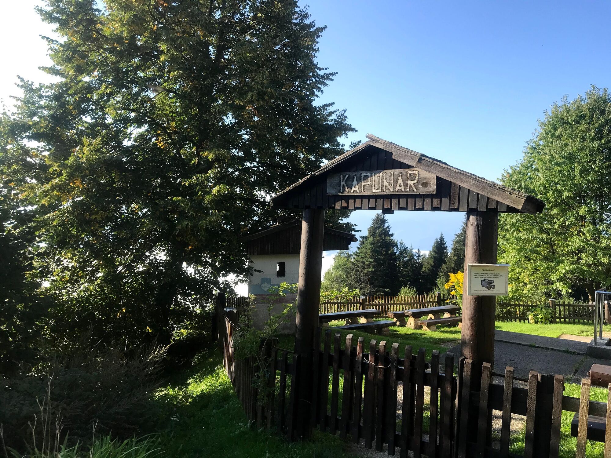
Pfarrkirche Maria im DornHasewend’s Kirchenwirt0.0 kmEibiswald0.3 kmStammeregg3.5 kmProter Kapelle4.3 kmKapunar (1,051 m)17.1 kmGroßradl20.9 kmEibiswald24.2 kmHasewend’s Kirchenwirt24.4 kmPfarrkirche Maria im Dorn24.5 km
- Best season
-
JanFebMarAprMayJunJulAugSepOctNovDec
- Description
-
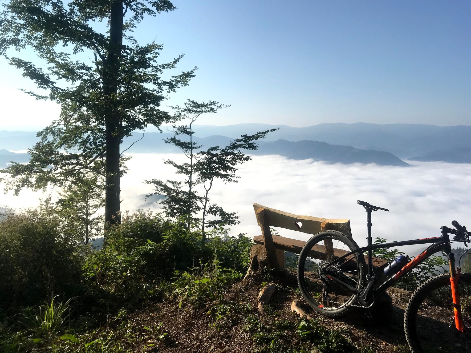
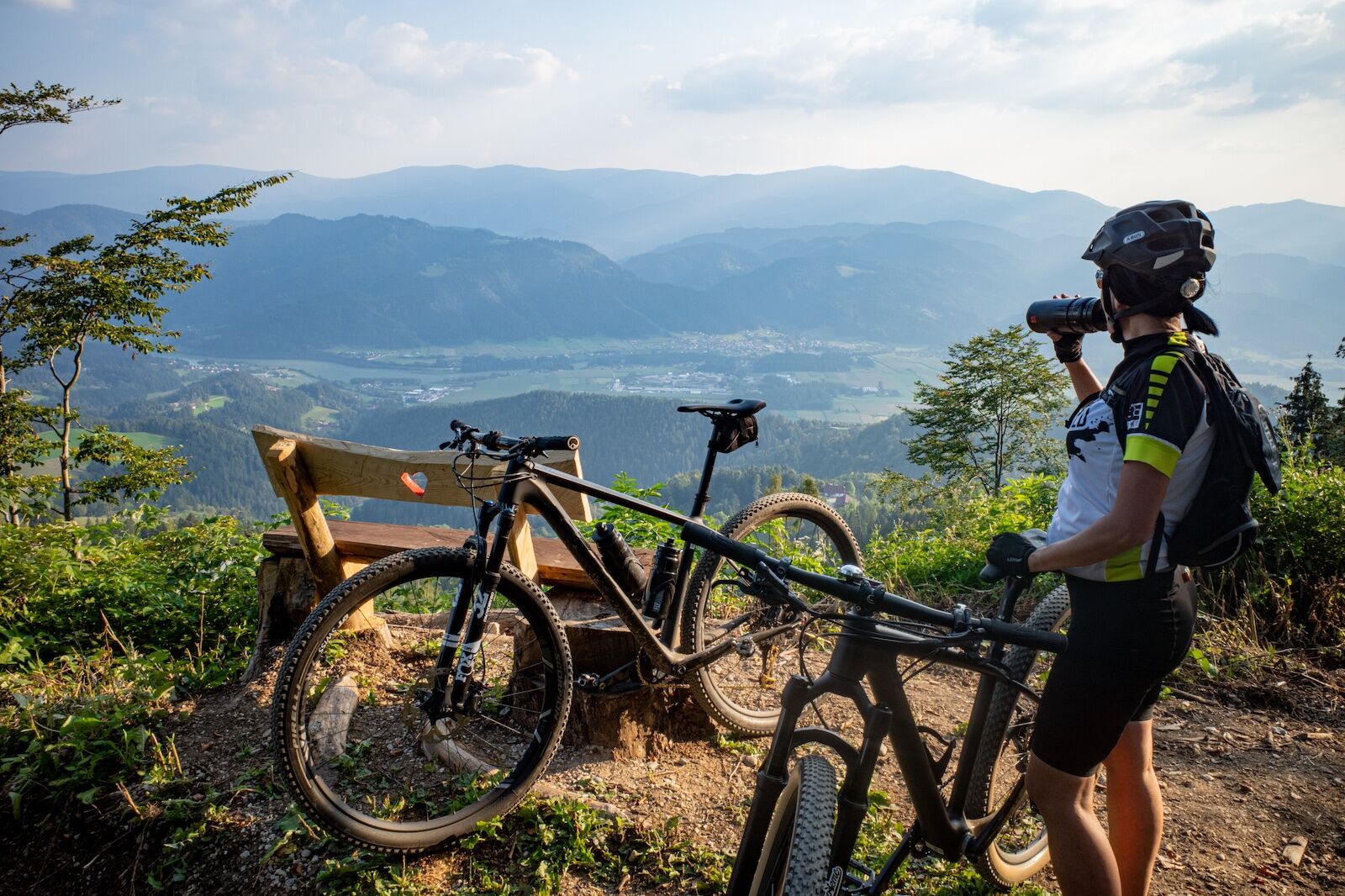
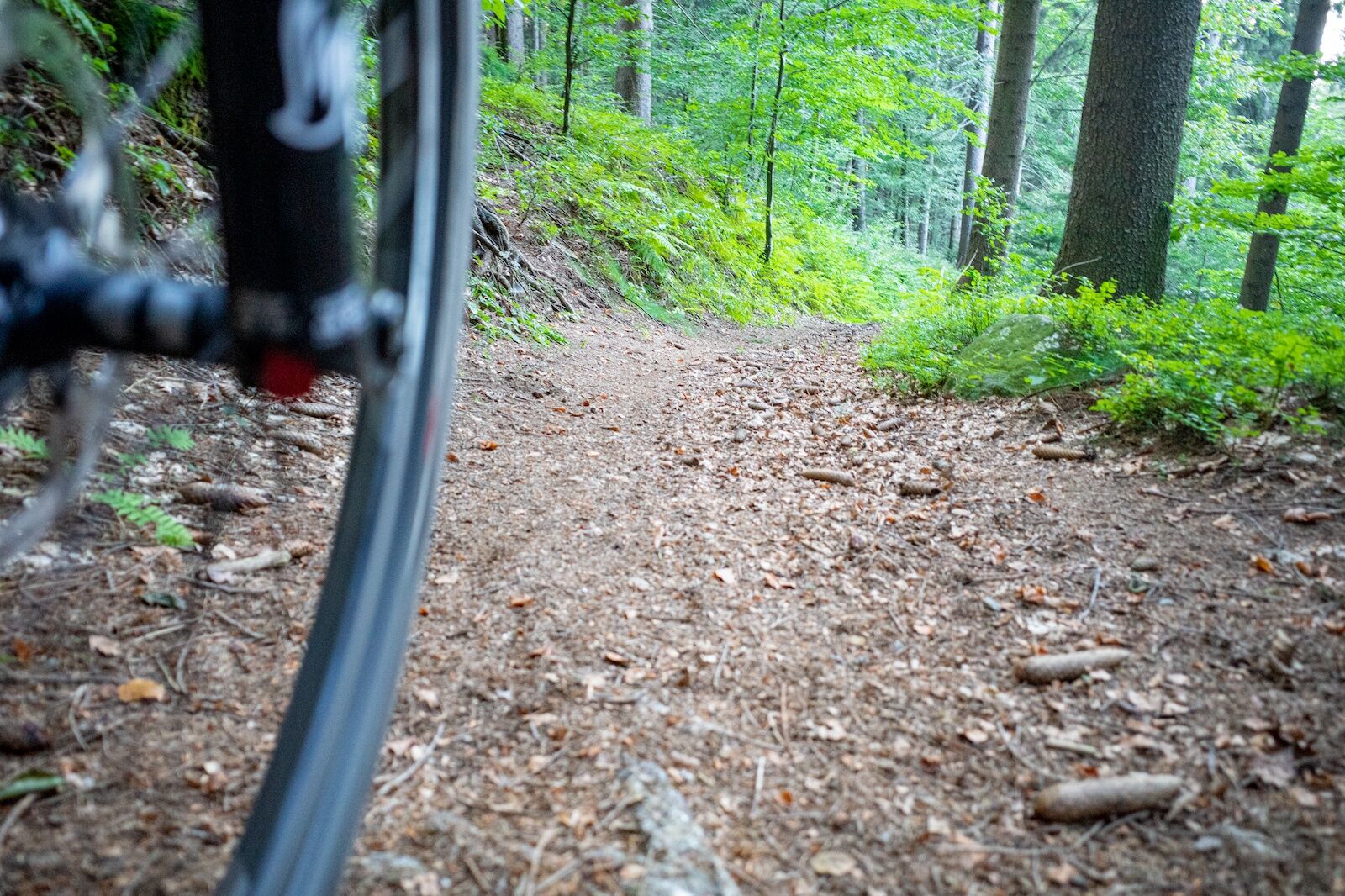
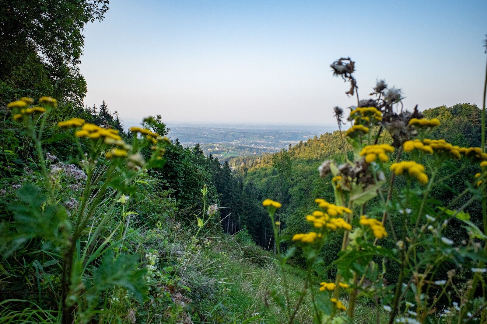
There are things in life that make you particularly proud. This is the case with the Kapuner Tour and the Eibiswald cycling club. For many years this tour and especially the trail from the Kapunerkogel down to Eibiswald were tinkered with. Both in the selection of the best line and paths and organisationally in the form of the involvement and approval of the landowners. In the end, both were successful and thus the "Kapuner Tour - or the Hausberg Circumnavigation" is an absolute pearl in Eibiswald's range of tours. There are many highlights on this tour, three of which are worthy of mention: the Römerweg ascent to the Radlpass, the Kapun ascent on the Slovenian side to the former barracks and, as the crowning finale, the 3Eiben Hausberg trail from the Jägerkreuz to the Buschenschank and Glirsch winery and from there down to Eibiswald.
The "Kapuner Tour - or the Hausberg Circumnavigation" is the mountain bike tour of your choice if you are
want to go on a highlight hunt and experience three of the most beautiful sections of the Eibiswald mountain bike tours in one trip, want to combine a physically demanding tour with a fantastic trail as a finale, want to learn pure mountain biking, i.e. are looking for real trail fun both uphill on the Kapun climb and downhill on the Kapun trail, want to try out your new e-mountain bike,are daring and want to try this tour with a gravel bike (very good riding technique required), want to experience the Kapuner as Eibiswald's local mountain up close and personal and want to fortify themselves with a delicious snack and regional delicacies at the Glirsch shortly before the end of the tour. - Directions
-
The route is signposted throughout, making it easy to find your way.
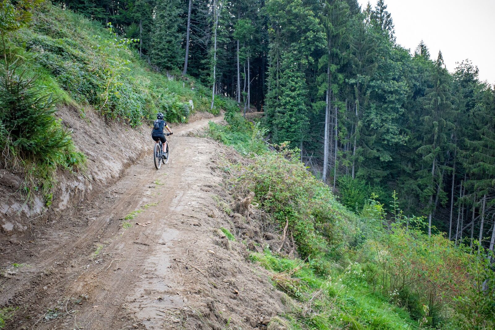
Start from the starting point at the church in Eibiswald heading south and follow the route via Sterglegg, Stammeregg and the Römerweg to the Radlpass.
On the Radlpass road, descend briefly in the direction of Radlje and then turn left into the Kapuner climb.
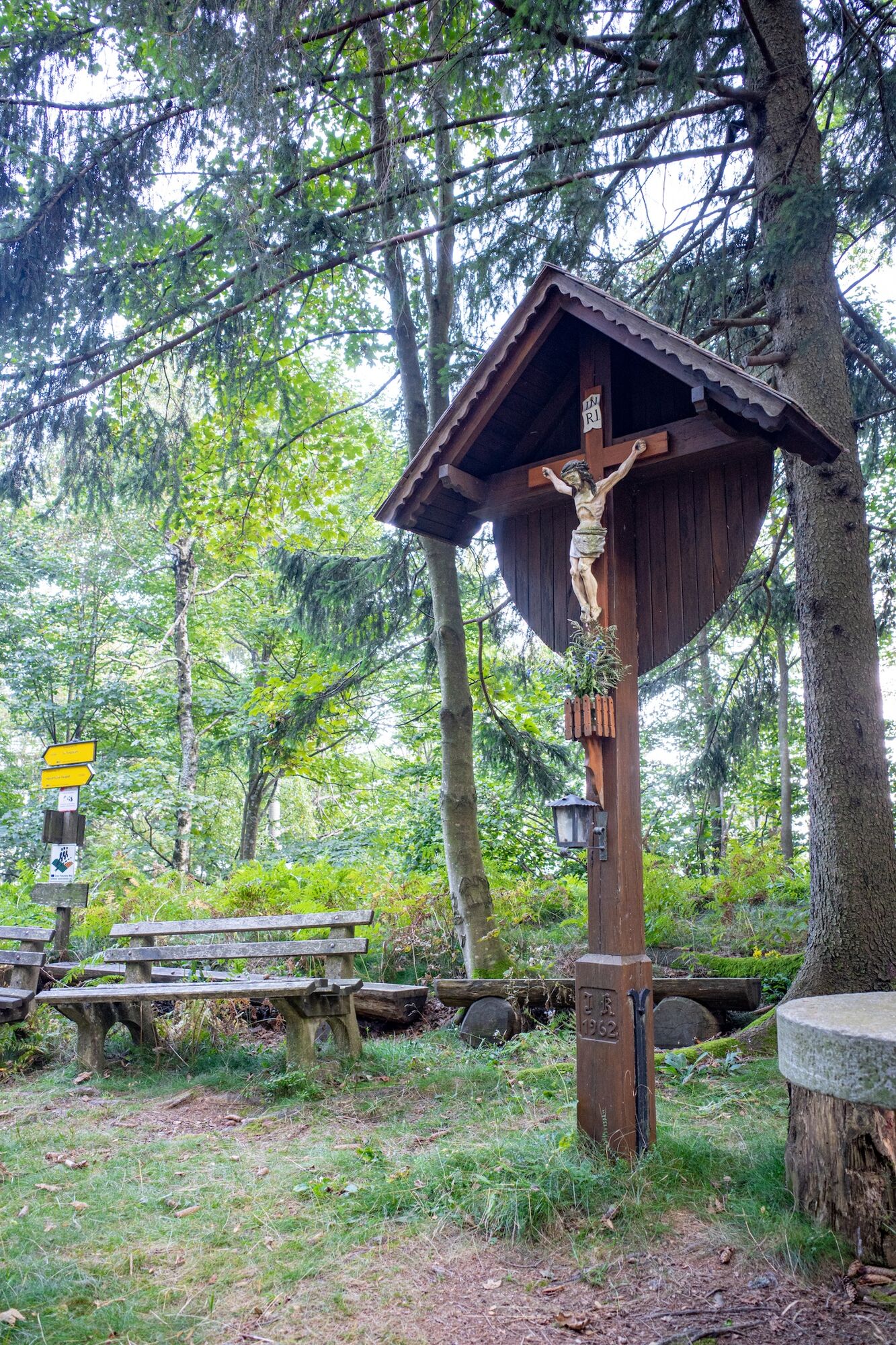
From the former barracks at the top of the Kapuner down to the Jägerkreuz and from there turn into the Kapuner Trail.
Through the Glirsch farm (don't forget to take a break) and finally via the Stelzer farm, Gasthaus Weiß/Novak and Gasthof Bartlschneider back down to Eibiswald. - Highest point
- 1,008 m
- Endpoint
-
Eibiswald church square
- Height profile
-

- Equipment
-
Check your bike after every tour for air pressure, spoke tension and brake pads.
A helmet is a must for every bike tour.
Think in advance about what equipment you need to take with you: warm clothing, rain and wind protection, a repair kit and first aid kit should be in your rucksack, as well as a charged mobile phone.
Mountain bike E-bike Mountain bike Gravel bike (very good riding technique required) - Safety instructions
-
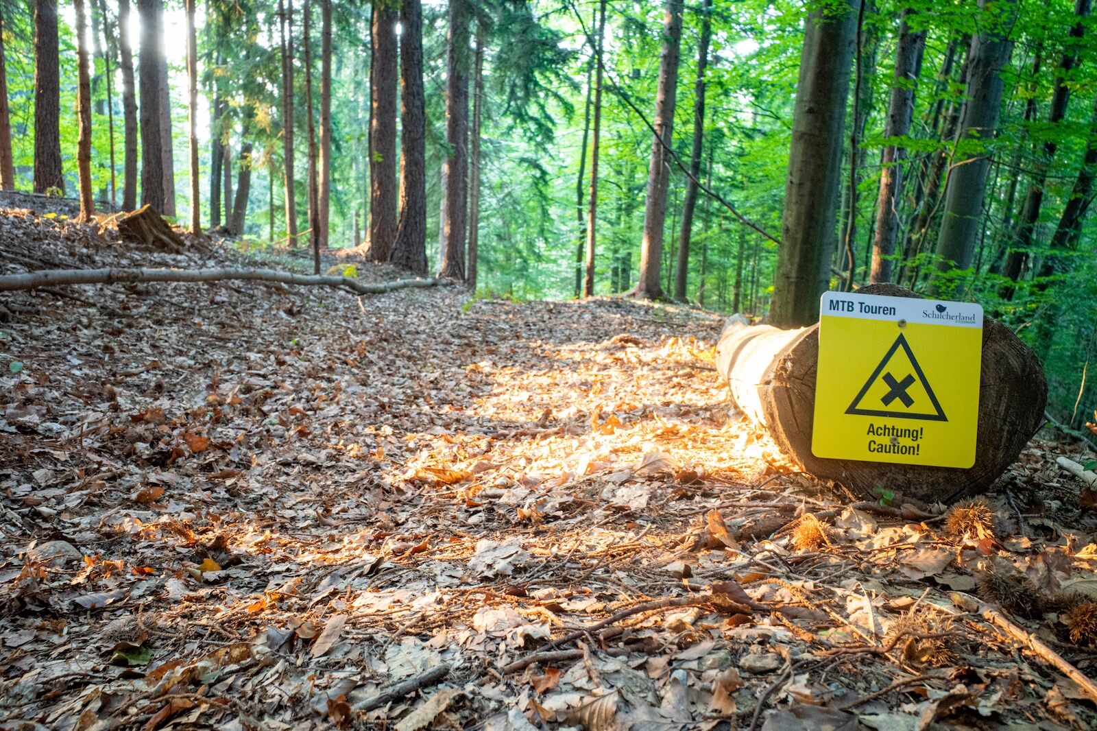
Always drive at a controlled speed and at half visibility, especially on bends, as obstacles can be expected at any time (e.g. road damage, stones, branches, temporarily stored wood, grazing livestock, grazing grids, barriers, tractor-forestry machines, authorised persons' vehicles). Be considerate of other people, walkers and pedestrians. Only overtake at walking pace! Be aware of the difficulty of the route, accurately assess your experience and ability as a biker! Protect your head with a helmet and check your equipment (brakes, bell, lights) before every bike tour! Keep to barriers and please accept that some paths are primarily used for agricultural and forestry purposes! Be considerate of nature and wildlife, do not leave the marked route, refrain from riding off the open paths and finish your bike tour before dusk. Please do not leave any litter behind.
Attention: No liability! (*)
*) Mountain biking is a risky sport! The landowners, the Eibiswald cycling club, tourism association and municipalities accept no liability!
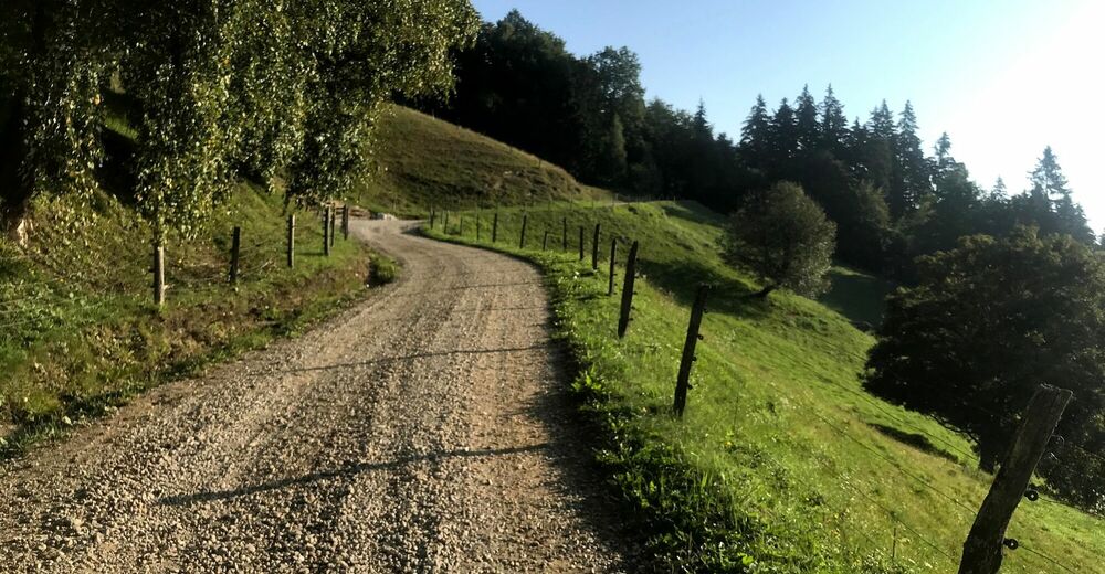
Some tours (see description) are "pure nature", the forest paths lead over roots, stones, streams, are partly washed out and are not maintained. Pushing and carrying passages are necessary depending on ability. We recommend private accident insurance or membership of the Alpine Club. Have fun!
- Tips
-
Stop at the Buschenschank Glirsch!
- Additional information
-
Map with all mountain bike tours available at the businesses and at the tourist office Schilcherland Eibiswald-Wies or can be ordered at Schilcherland.at!
Tip: the Styria Tours App, available free of charge on Google Play and in the App Store (Android, iOS) offers detailed first-hand information: short facts (length, duration, difficulty, ascent and descent in metres of altitude, ratings), map, route descriptions, altimeter, compass, summit finder, navigation along the tour. In addition, you can create your personal list of favourite tours and points, save tours and excursion destinations offline, play on social media channels and more.
- Directions
-
Plan your journey via Google Maps to the starting point of the tour: www.google.at/maps
Directions from Graz / Vienna to Lieboch:
Take the motorway towards Graz (A2) to the Lieboch exit. Continue on the B76 in the direction of Eibiswald.
Directions from Carinthia:
On the motorway in the direction of Klagenfurt (A2) as far as the Lieboch exit. Continue on the B76 in the direction of Eibiswald.
Directions from Leibnitz:
Drive via Arnfels, Oberhaag to Eibiswald.
Directions from Slovenia/Eibiswald:
Drive over the Radlpass on the B76 towards Eibiswald.
- Public transportation
-
With ÖBB to Wies, then by bus or guest taxi to Eibiswald.
ÖBB www.oebb.at or Verbundlinie Steiermark www.busbahnbim.at
With the BusBahnBim app of the Verbundlinie, timetable information has never been easier: all connections by bus, train and tram in Austria can be queried by entering places and / or addresses, stops or important points. The app is available as a free app for smartphones (Android, iOS) - on Google Play and in the App Store.
- Parking


- Author
-
The tour Around the Kapuner - or the Hausberg circuit is used by outdooractive.com provided.


Surfaces
General info
-
Südsteiermark
139
-
Schilcherland Steiermark
90
-
Eibiswald
52