


- Brief description
-
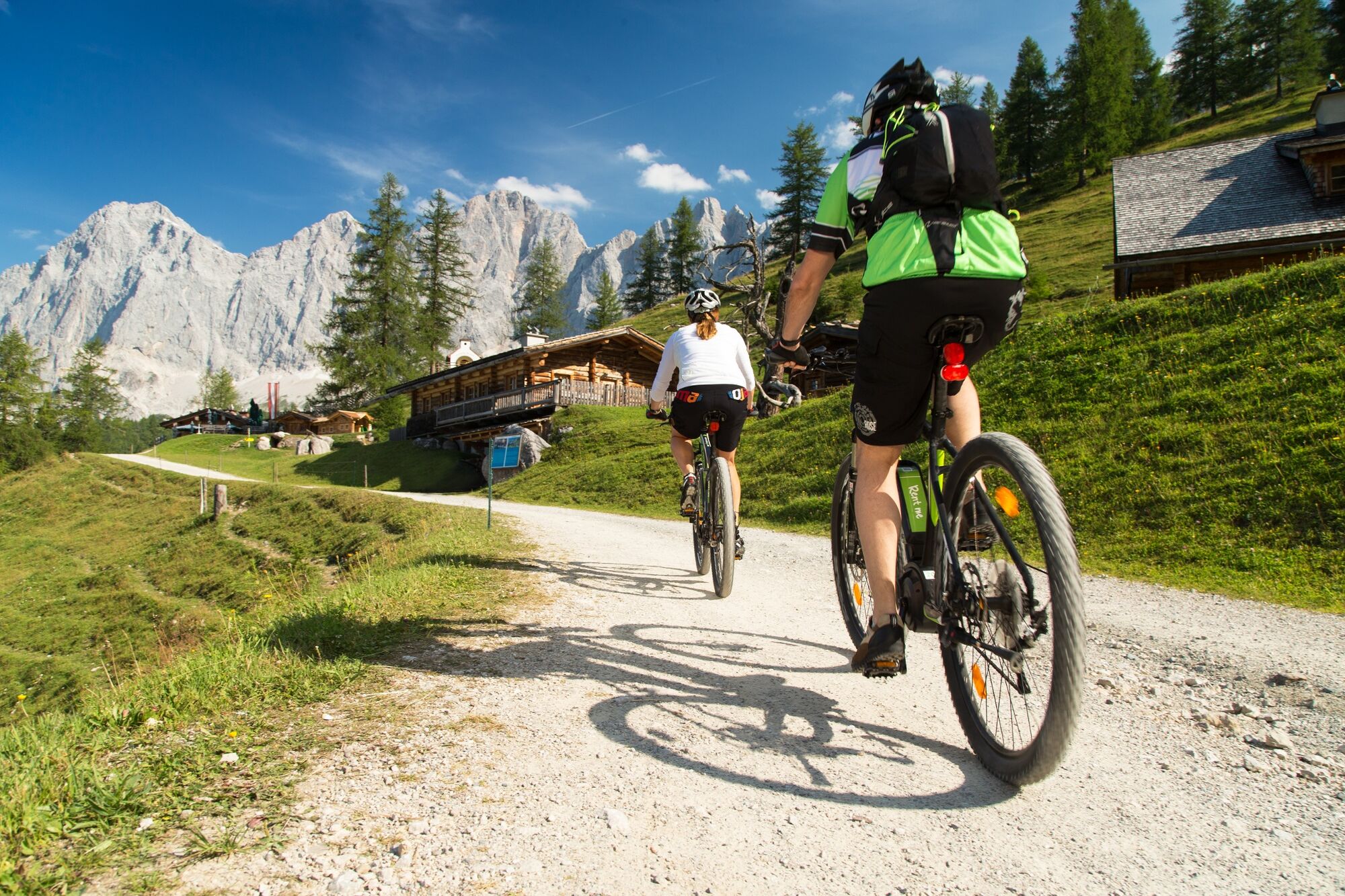
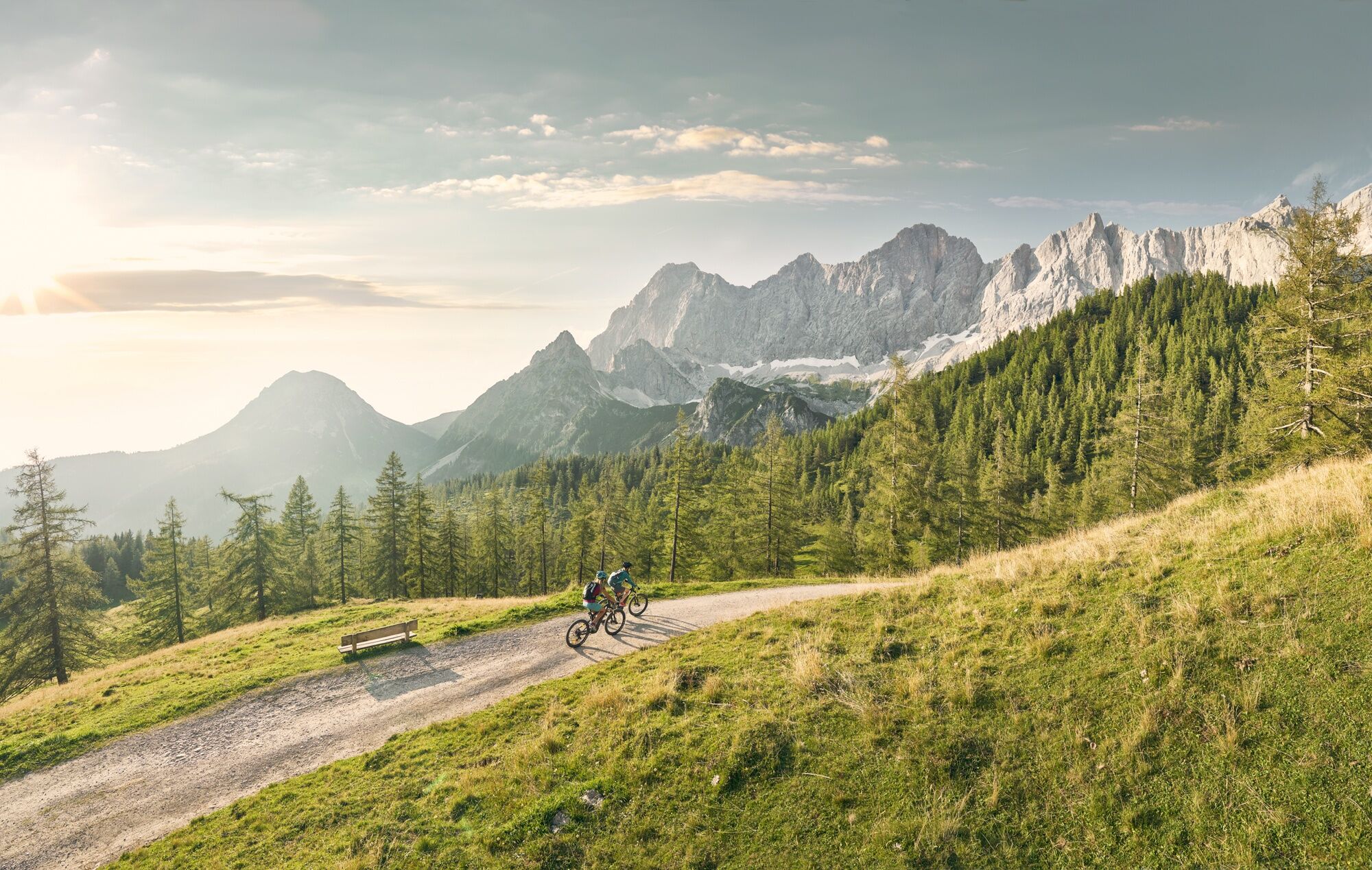
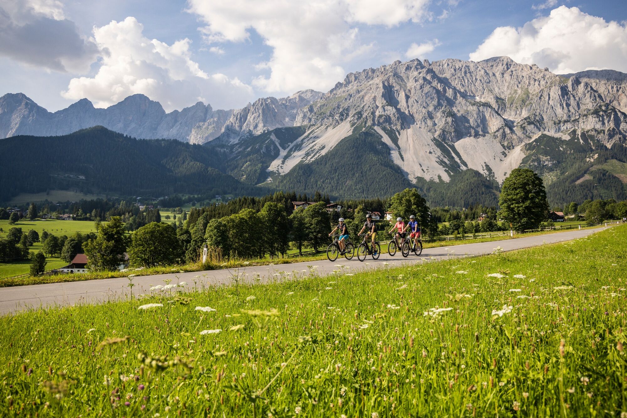
Beautiful round trip at the bottom of the Dachstein.
- Difficulty
-
medium
- Rating
-
- Starting point
-
Ramsau Ort
- Route
-
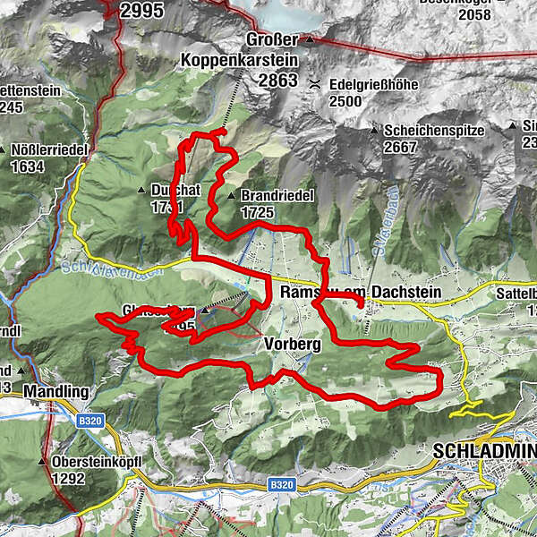
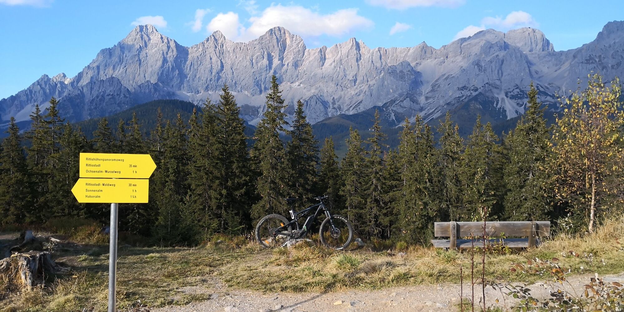
Ramsau am Dachstein0.1 kmRamsbergerstube1.4 kmAlpengasthaus Edelbrunn2.9 kmDachsteinhaus3.6 kmBrandalm5.5 kmKehre 211.5 kmSchildlehen13.6 kmRittisberg (1,562 m)19.1 kmRittisberg (1,565 m)20.0 kmSonnenalm22.6 kmVorberg26.7 kmGasthof Fichtenheim27.6 kmStockerwirt28.3 kmRamsau am Dachstein35.7 km
- Best season
-
JanFebMarAprMayJunJulAugSepOctNovDec
- Description
-
This tour is a highlight in our region - wonderful views from different vantage points, as well as fast downhills paired with selective mountain stages.
With the beginning of July 2023 there will be a more attractive route along the path to the Edelbrunn Inn.
- Directions
-
The following localities and waypoints serve as a guide:
Starting point Ramsau Ort – Crossroads Ederhof – Lindenhof – Edelbrunn – Dachsteinhaus – Brandalm – Türlwandhütte – Dachsteinstrasse – Glösalm – Crossroads Ramsauerstraße – Schildlehen – Brückenhof – Hausbichlweg – Rittisberg Gipfelkreuz – Sonnenalm – Halseralm – Pichl Vorberg – Haus Arnika – Kobaldhof – Crossroads Vorbergstraße, Tritscher – Zechmanhof – Lührmann - Crossroads Jagerhäusl – Dörfl – Kulmberg – Herold – Crossroads Ederhof – back to the starting point
- Highest point
- 1,686 m
- Endpoint
-
Ramsau Ort
- Height profile
-

- Equipment
-
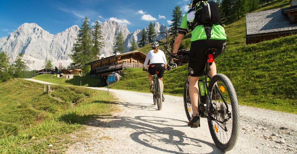
The right bike: mountain bike or gravel bike with studded tyres, racing bikes are not recommended.
Breakdowns can happen - but rarely at the doorstep of one of the numerous service points: a basic kit of tools and accessories therefore never hurts! Spare inner tube and/or repair kit, universal spanner, air pump, brake and shift cable, as well as a screwdriver can never hurt.
- Safety instructions
-
Always wear a helmet and appropriate clothing. Ride only on paved and signposted paths. Watch out for traffic at crossroads and road junctions! Be considerate and give way. Avoid blocking the rear wheel and thus help to maintain the paths. Control your speed downhill! Protect the environment and don't leave rubbish, etc. in the mountains!In case of emergency, please dial the following emergency numbers: No. 140 - Mountain rescue
No. 112 - Euro emergency call
- Tips
-
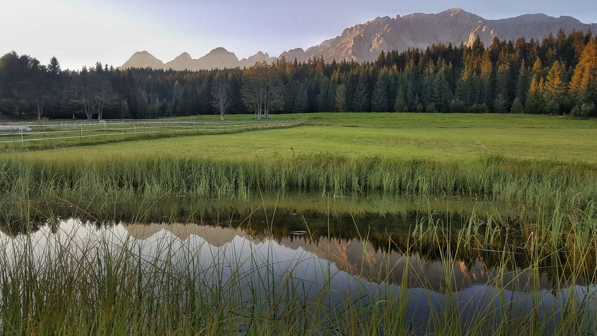
Take your camera with you! The tour takes you past numerous magnificent vantage points.
Chargers for Bosch e-bikes are available at the Edelbrunn Inn and at the Brandalm.
- Additional information
- Directions
-
From Salzburg:
Follow the A10 to Altenmarkt. From there change to the B320 and follow the road to Schladming. Turn left at the "Schladming Mitte" junction and follow the road to the next intersection. Turn left there and follow the signs over serpentines in the direction of Ramsau. Continue along the road until you reach Ramsau. In the middle of the village, turn left at Hallenbadweg to the event centre.
From Graz:
Follow the A9 to Liezen. Change to the B320 and follow the road to Schladming. Turn right at the "Schladming Mitte" junction and follow the road to the next crossroads. Turn left there and follow the signs over serpentines in the direction of Ramsau. Continue along the road until you reach Ramsau. In the middle of the village, turn left at the Hallenbadweg to the event centre.
- Public transportation
- Parking

- Author
-
The tour Ramsau Tour | 07 is used by outdooractive.com provided.