- Brief description
-
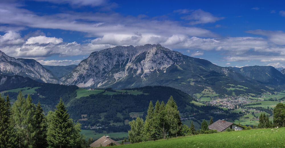
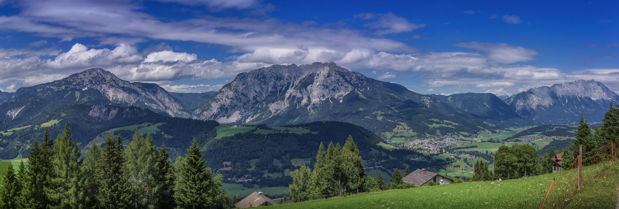
Steep climbs, selective descents, unique landscapes in the Nature park Sölktäler
- Difficulty
-
difficult
- Rating
-
- Starting point
-
Village Square, Pruggern
- Route
-
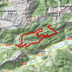
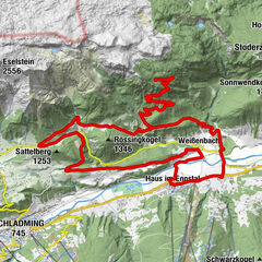
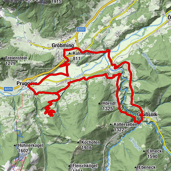
PruggernMaria Rosenkranzkönigin0.0 kmMichaelerberg5.0 kmMichaelerberghaus5.8 kmMoosheim11.1 kmSt. Michael11.2 kmGelsenberg13.8 kmDörfl14.2 kmReith16.6 kmGroßsölk19.8 kmGatschberg22.6 kmStein an der Enns24.4 kmRestaurant Hubertus24.8 kmRatting26.3 kmKaindorf27.2 kmGröbming28.8 kmThalhamm31.0 kmPruggern34.3 kmLandgasthof Bierfriedl34.4 km
- Best season
-
JanFebMarAprMayJunJulAugSepOctNovDec
- Description
-
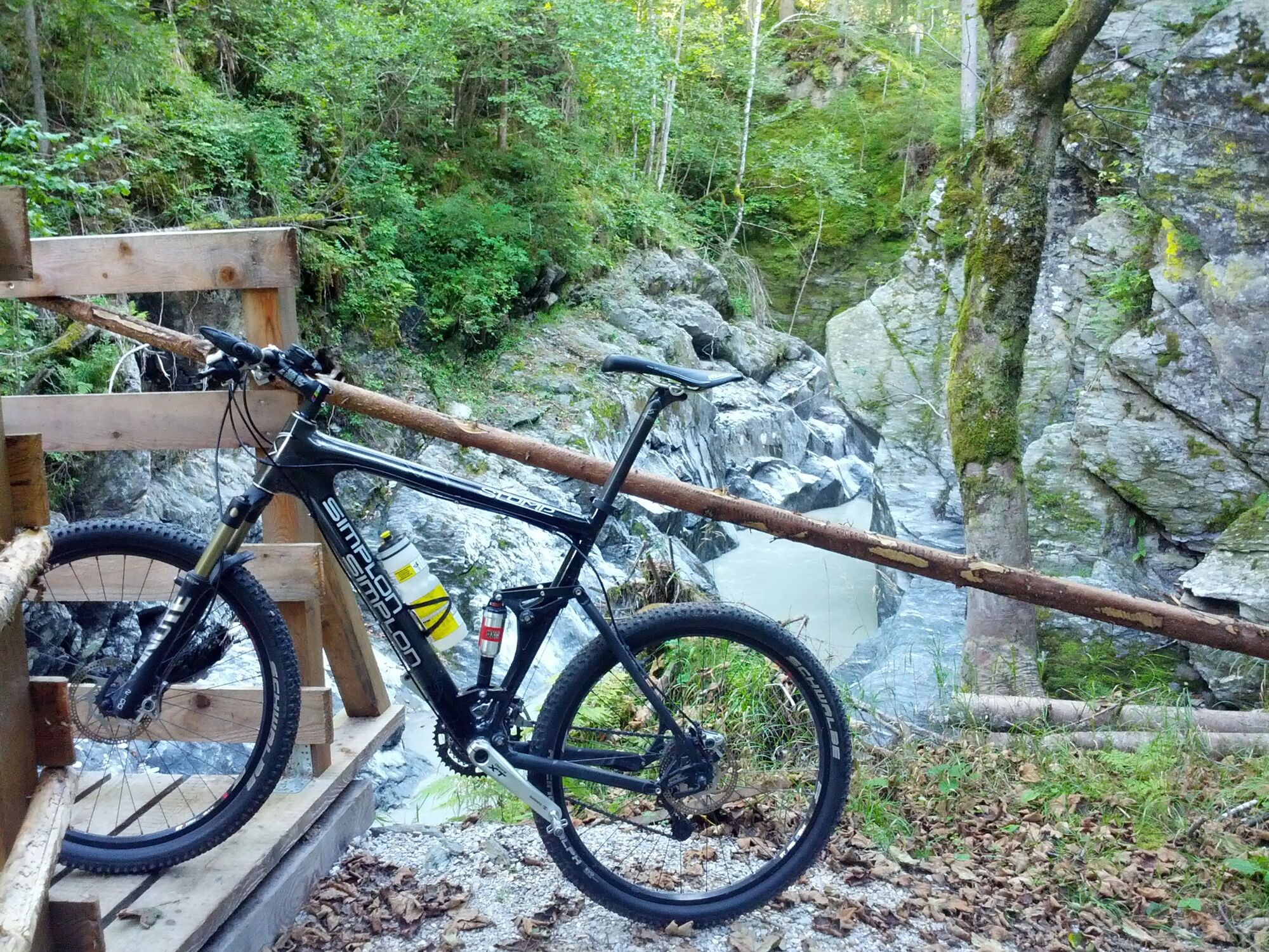
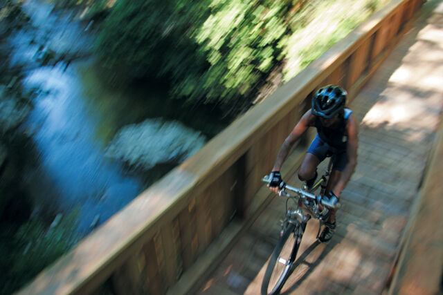
Idyllic tour with steep climbs on asphalt and forest roads, short stages on the R7, the Enns bike path and partly also steep descents. The tour always goes through beautiful natural landscapes and offers wonderful views.
- Directions
-
The following localities and waypoints serve as a guide:
Starting point Dorfplatz Pruggern – Birgseitenweg – Michaelaberg West – Michaelerberghaus – Moosheim – Tunzendorf – Gelsenberg – Sölkdörfl – Reith – Vorderwald – Strubschlucht – Großsölk – Sölkpassstraße – Gatschberg – Stein an der Enns – Ratting – Kaindorf – Gröbming – Thalhamm – back to the starting point
- Highest point
- 1,201 m
- Endpoint
-
Village Square, Pruggern
- Height profile
-

- Equipment
-
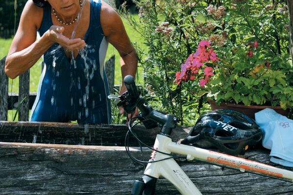
The right bike: mountain bike or gravel bike with studded tyres, racing bikes are not recommended.
Breakdowns can happen - but rarely at the doorstep of one of the numerous service points: a basic kit of tools and accessories therefore never hurts! Spare inner tube and/or repair kit, universal spanner, air pump, brake and shift cable, as well as a screwdriver can never hurt.
- Safety instructions
-
Always wear a helmet and appropriate clothing. Ride only on paved and signposted paths. Watch out for traffic at crossroads and road junctions! Be considerate and give way. Avoid blocking the rear wheel and thus help to maintain the paths. Control your speed downhill! Protect the environment and don't leave rubbish, etc. in the mountains!
In an emergency, please dial the following emergency calls:
No. 140 - Mountain Rescue
No. 112 - Euro Emergency Call
- Tips
-
Hiking Tip: From the Michaelerberghaus up to the Kochofen
- Additional information
- Directions
-
From Salzburg: Follow the A10 to Altenmarkt. From there take the B320 to Pruggern. Turn right at the Pruggern turn-off and drive through the village to the village square.
From Graz: Follow the A9 to Liezen. From there take the B320 to Pruggern. Turn left at the Pruggern turn-off and drive through the village to the village square.
- Public transportation
- Parking
-
Limited parking spaces are available in the centre of Pruggern.
-

-
AuthorThe tour Strubschlucht Tour | 12 is used by outdooractive.com provided.


General info
-
Schladming - Dachstein
405
-
Gröbminger Land
125
-
Gröbming
31