- Brief description
-
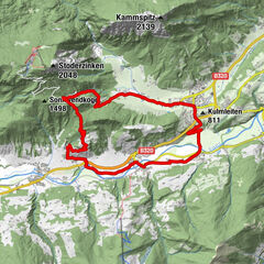
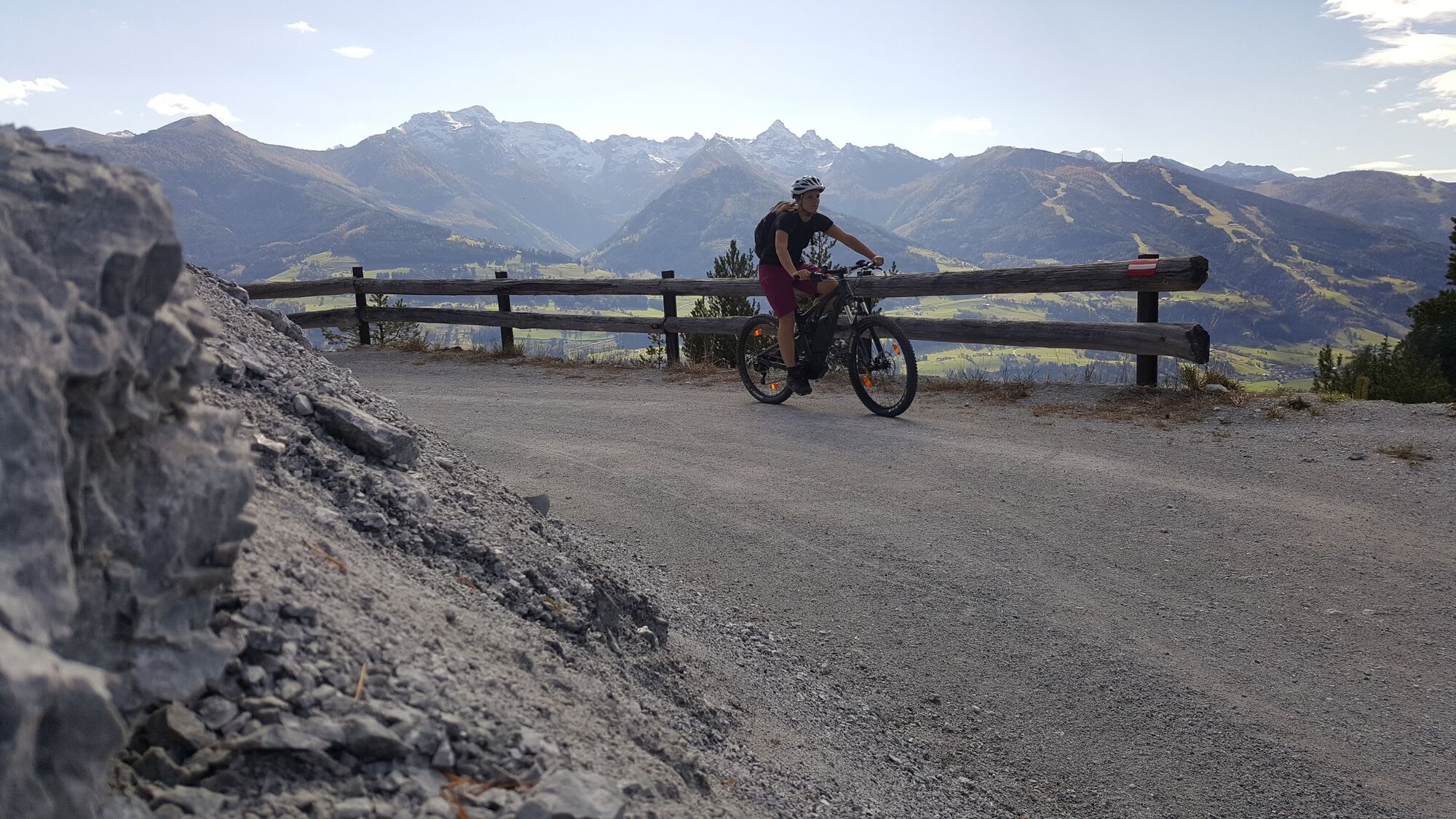
Long climb up the Stoderzinken, which is rewarded with a fantastic panorama.
- Difficulty
-
medium
- Rating
-
- Starting point
-
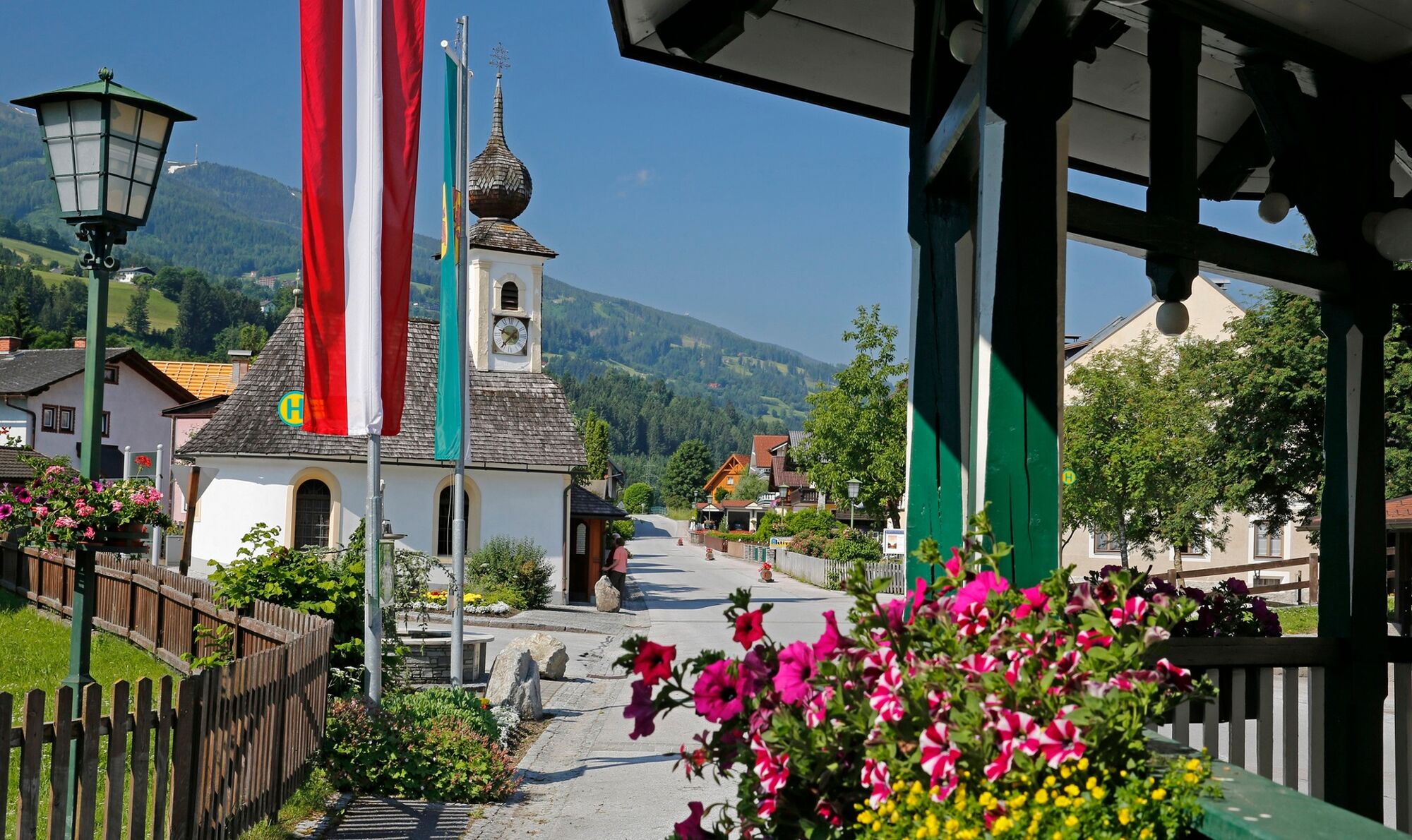
Market Square, Gröbming
- Route
-
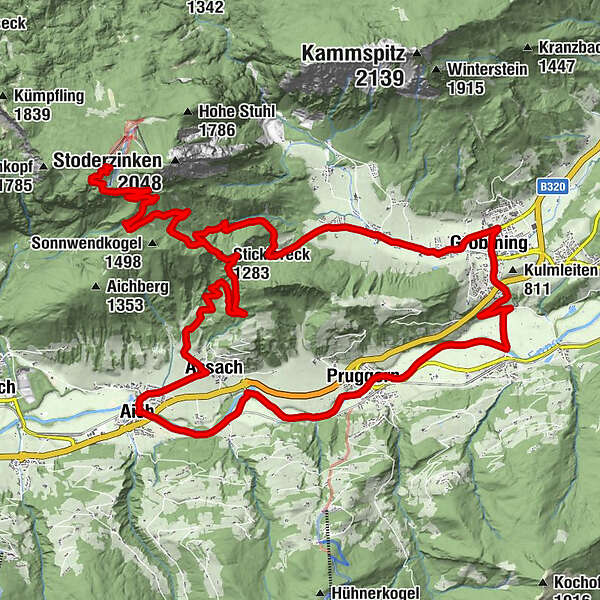
Mariä Himmelfahrt0.3 kmGröbming0.4 kmThalhamm2.6 kmPruggern5.9 kmAich10.7 kmBärenwirt10.8 kmAssach12.2 kmSticklereck (1,283 m)17.4 kmStöderl20.2 kmDürrenbachquelle20.9 kmStoder23.8 kmBerggasthof Steinerhaus24.1 kmStöderl27.7 kmGröbmingeralm33.4 kmJausenstation Stodermaut33.8 kmWinkl34.6 kmGröbming36.9 kmFriedfofskapelle37.1 km
- Best season
-
JanFebMarAprMayJunJulAugSepOctNovDec
- Description
-
Long climb with impressive panoramic views of the Schladminger Tauern. After a leisurely cycle in from Gröbming to Assach, the mountain stage begins via the Assacher Scharte up to the Stoderzinken.
Please note:
Cycling is permitted from 15 April to 31 October, 2h after sunrise to 1h before sunset. Thank you for your consideration.
- Directions
-
The following localities and waypoints serve as a guide:
Starting point Marktplatz Gröbming – Thalhamm – Pruggern – Aich – Assach – Assacher Scharte – Stoderstraße – Rossfeld – Berggasthof Steinerhaus – Stoderstraße – Gröbminger Alm – Winkl – back to the starting point
- Highest point
- 1,826 m
- Endpoint
-
Market Square, Gröbming
- Height profile
-

- Equipment
-
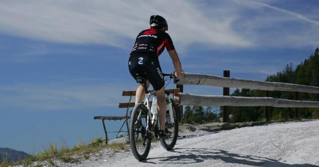
The right bike: mountain bike or gravel bike with studded tyres, racing bikes are not recommended.
Breakdowns can happen - but rarely at the doorstep of one of the numerous service points: a basic kit of tools and accessories therefore never hurts! Spare inner tube and/or repair kit, universal spanner, air pump, brake and shift cable, as well as a screwdriver can never hurt.
- Safety instructions
-
Always wear a helmet and appropriate clothing. Ride only on paved and signposted paths. Watch out for traffic at crossroads and road junctions! Be considerate and give way. Avoid blocking the rear wheel and thus help to maintain the paths. Control your speed downhill! Protect the environment and don't leave rubbish, etc. in the mountains!In case of emergency, please dial the following emergency numbers: No. 140 - Mountain rescue
No. 112 - Euro emergency call
- Tips
-
From the car park it is recommended to walk along a footpath (approx. 2 km) to the "Friedenskircherl"(chapel), from where you have a sensational panorama of the Schladminger Tauern, Dachstein massif and Grimming.
- Additional information
- Directions
-
From Salzburg: Follow the A10 to Altenmarkt. There take the B320 and continue in the direction of Liezen. Take the Gröbming exit and use one of the parking spaces in the town centre. - Follow the parking regulations!
From Graz: Follow the A9 to Liezen. There join the B320 and continue in the direction of Schladming. Take the Gröbming exit and use one of the parking spaces in the centre of the village.
- Public transportation
- Parking

- Author
-
The tour Stoderzinken Tour | 13 is used by outdooractive.com provided.