


- Brief description
-
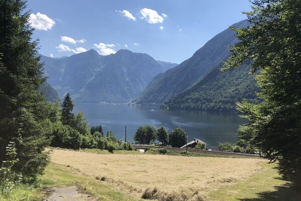
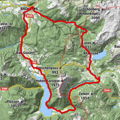
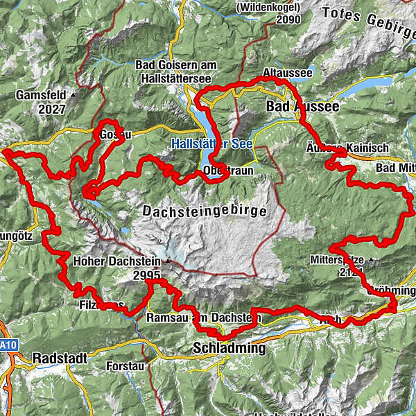
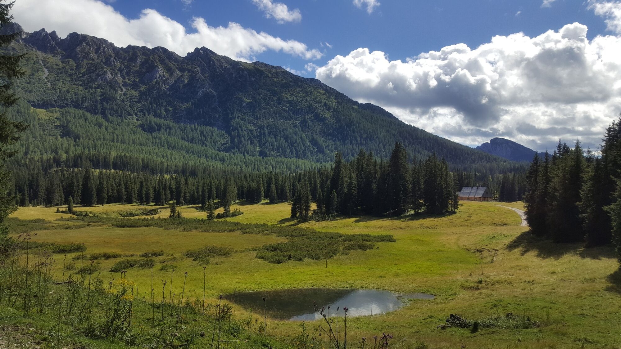
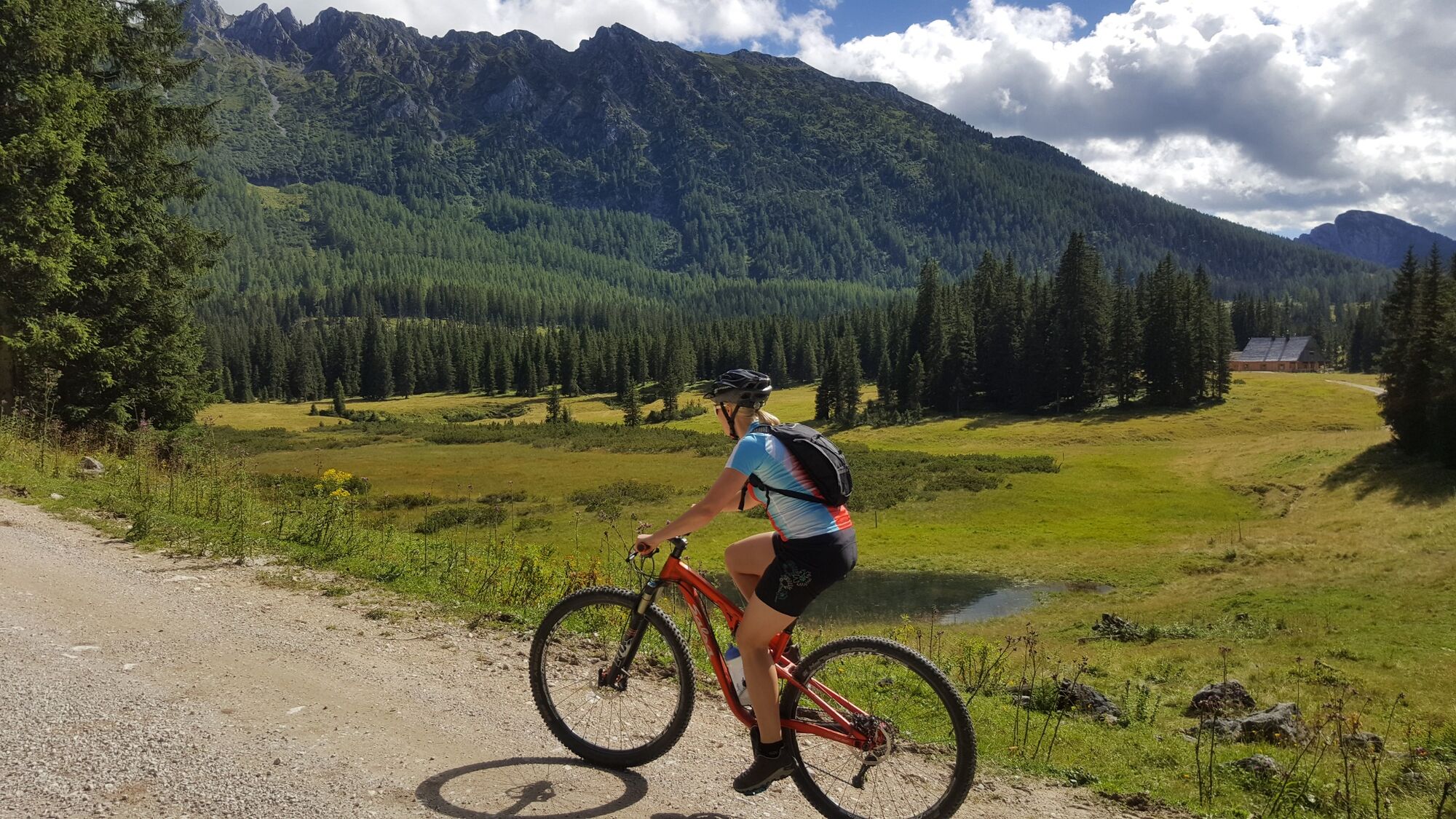
The Dachsteinrunde is one of the most impressive MTB multi-day tours in the Eastern Alps.
- Difficulty
-
medium
- Rating
-
- Starting point
-
Ramsau
- Route
-
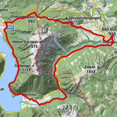
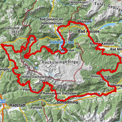
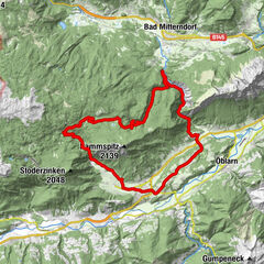
Sankt Agatha0.3 kmFuchswaldl6.7 kmWaldgraben7.1 kmSchloßwiese8.2 kmKesselgrube10.8 kmPuchen10.9 kmKendl11.0 kmIm Nöckl12.1 kmBad Aussee (659 m)14.3 kmKrautberg14.7 kmWegkapelle Hugo-Cordignano-Promenade14.9 kmEvang. Pfarrkirche A.B. Jesus-Kirche15.0 kmSportstüberl, Pizzeria15.7 kmUnterkainisch15.8 kmKalsswirt16.1 kmSießreith16.3 kmÄußere Kainisch21.8 kmKohlröserlhütte23.9 kmRassenbach45.6 kmSchneegrube46.7 kmViehbergalm50.3 kmRitzingerhütte50.4 kmViehbergalm50.7 kmSimeterhütte50.7 kmSeeboden57.6 kmWeyern60.2 kmWinkl61.7 kmGröbming63.8 kmMariä Himmelfahrt63.8 kmThalhamm66.0 kmPruggern69.4 kmAich74.1 kmBärenwirt74.3 kmRössing84.4 kmLeiten88.2 kmRamsbergerstube95.7 kmAlpengasthaus Edelbrunn97.1 kmDachsteinhaus97.9 kmBrandalm99.8 kmJagahofalm102.3 kmNeustattalm102.3 kmHachau110.2 kmJausenstation Schnitzberg112.1 kmFilzmoos116.1 kmKleinbergalm118.7 kmNeuberg124.4 kmLangeggsattel (1,313 m)127.9 kmSchichl132.6 kmGasthaus Schichreit132.8 kmNeuhaus133.4 kmAlpendorf Dachstein West139.2 kmSalfelden145.5 kmLeitenhaus147.6 kmGschwandtleiten150.3 kmHallseiten150.6 kmReit151.5 kmSeetratten151.9 kmGschwandt152.3 kmKlockaualm155.0 kmZeishofalm162.3 kmRamsau174.5 kmGosau174.8 kmMittertal178.0 kmKranabet178.7 kmHintertal179.6 kmTalstation Gosaukammbahn183.4 kmGasthof Gosausee183.5 kmGrub-Alm191.9 kmSträhnhag (1,502 m)196.8 kmWaldbachstrub203.8 kmWaldbachstrub204.2 kmGasthof Hirlatz206.6 kmKreuzwegkapelle II207.3 kmLahn207.3 kmKreuzwegkapelle III207.4 kmHirschbrunn208.4 kmKessel208.9 kmWinkl210.6 kmObertraun212.2 kmPanoramablick auf Hallstatt213.8 kmObersee219.9 kmSankt Agatha222.0 km
- Best season
-
JanFebMarAprMayJunJulAugSepOctNovDec
- Description
-
Nature experiences between 4,700 and 7,900 metres above sea level are offered by the three variants of the Dachstein Tour with a choice of 182 to 269 kilometres. The Dachstein Round is the culmination of the Salzkammergut mountain bike holiday, the highlight for professionals and hobby bikers. Ideally suited for a long weekend, the Dachstein Round is available as a package including luggage transfer.
You can find detailed information on the various options under:
https://www.dachsteinrunde.at/
- Directions
-
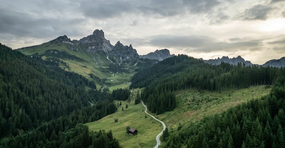
The start is in Ramsau-Ort, from where it goes westwards on the main road towards the Dachstein cable car, at the Auwirt take the turn-off to the left, on a forest path upwards towards Ochsenalm, at a crossroads turn right over the Grah footbridge. There we get on the Bundesforststraße until just before Filzmoos. On the main road we drive through the famous mountain village of Filzmoos, in direction to Mautstraße and the impressive mountain "Bischofsmütze". We go left up on a forest road in direction Marcheggsattel and down to Neuberg on an asphalt road, right up to the restaurant Neubergerhof past on a steeper forest road to the Langeggsattel. On the right we see the western part of the Dachstein massif before we come into contact with the Tennengebirge.
From the Langeggsattel we turn left down to the settlement Neuhaus near Lungötz in the Lammertal. A short distance uphill on a forest path, then we finally reach the Lammertal, where we accompany the river of the same name on asphalted side and main roads. At Niedergschwandt we go up again in direction Zwieselalm. Before the Kleinedtalm, where this time we experience the Dachstein glacier up close from the south side, we turn left up to the Hornspitze, connected by a cable car from Rußbach. The heart of a "Downhiller" will beat faster now, because when we drive down to Rußbach, the narrow gravel road is quite busy at the beginning. We drive to Rußbach partly on meadow paths. From there right on the asphalted, for the time being old road, then junction into the new road up to the pass Gschütt.
On the main road we go down after the boundary stone for about 1 km, turn left into the forest road to Iglmoosalm and come via the village of Ramsau back onto the main road, cross it and immediately turn right again, first on dirt roads then again on the main road along the Gosaubach. After the first bridge over the Gosaubach we turn right into the Gosau Leitenstraße, out to the Hallstätter See. From the Gosauzwang junction, turn left towards Bad Goisern along the lakeshore to the village of Steeg and turn right towards St. Agatha near Bad Goisern. At the foot of the Pötschen pass we drive a short distance along the main road at the St. Agatha petrol station and after the bridge left up the old, initially steep Pötschen road, past the Sarstein, until we reach the pass summit. After the pass, we take a forest road to the right, up RI Höheralm and down to Sommersbergsee.
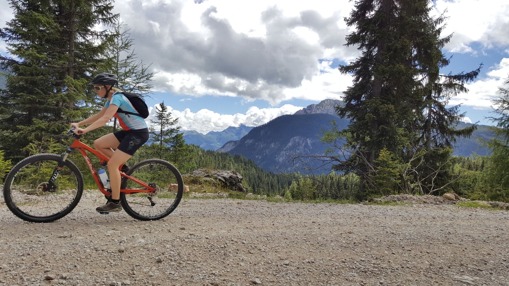
On an asphalt road we drive towards Bad Aussee (railway station) and soon see the mighty Dachstein glacier on the right hand side. Arrived in Bad Aussee, we drive along the Kainisch Traun on a rather flat forest path up to the Ödensee near Pichl-Kainisch. Afterwards we go to Mühlreith, on a forest path to the Steinitzenalm, where we see the mighty mountain Grimming, which is again in the Ennstal, particularly well. Through the Almgraben we reach the Salza reservoir, not far from Bad Mitterndorf. On the Viehbergalm the biker can expect a wonderful view of the Dachstein glacier with a unique panorama. We descend quickly through the famous "ovens" to Gröbming and on to Moosheim on an asphalt road. Along the R7 we reach Pruggern. From there we drive on a nature trail along the Enns to Aich-Assach. We continue until before Weißenbach/H. along the alpine tour left steeply up on a forest path up to the so-called Burgstaller. We cross the main road below the Ramsau, "the nordic world champion village", at the Lodenwalke. A varied path, partly forest path, meadow path, asphalt path leads us up south to Kulmberg. Downhill on a root trail you have to do some sportive driving before you get back to the starting point in Ramsau-Ort. Signposting for this tour: using the red Dachstein Round Tables!
- Highest point
- 1,657 m
- Endpoint
-
Ramsau
- Height profile
-

- Equipment
-
Charger for e-Bike
Replacement hose
Pump
Mini tool
Map - Tips
-
Report with photo series about the Dachstein Round (only in German): www.bikeboard.at/Dachsteinrunde

- Author
-
The tour Dachstein Tour is used by outdooractive.com provided.