


- Brief description
- Difficulty
-
medium
- Rating
-
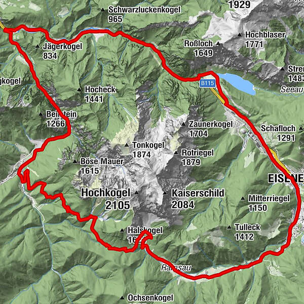
- Starting point
-
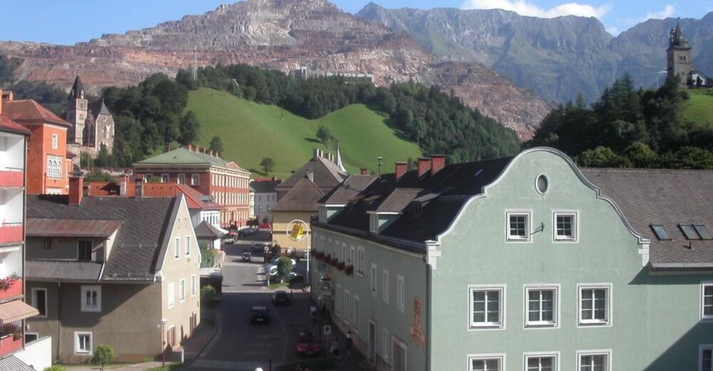
Eisenerz parking lot sports hall
- Route
-
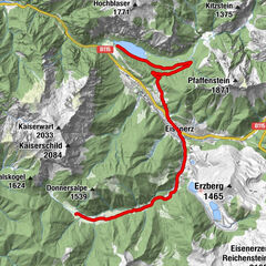
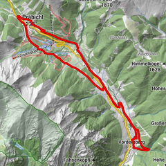
Seestüberl Leopoldsteinersee1.3 kmJassingau6.7 kmRadmer an der Stube16.8 kmRamsau27.9 kmLärch Alm28.1 kmPichlerhof29.1 kmFlurkapelle31.2 kmLiebfrauenkirche34.4 kmEisenerz34.7 kmNordica37.0 km
- Best season
-
JanFebMarAprMayJunJulAugSepOctNovDec
- Description
-
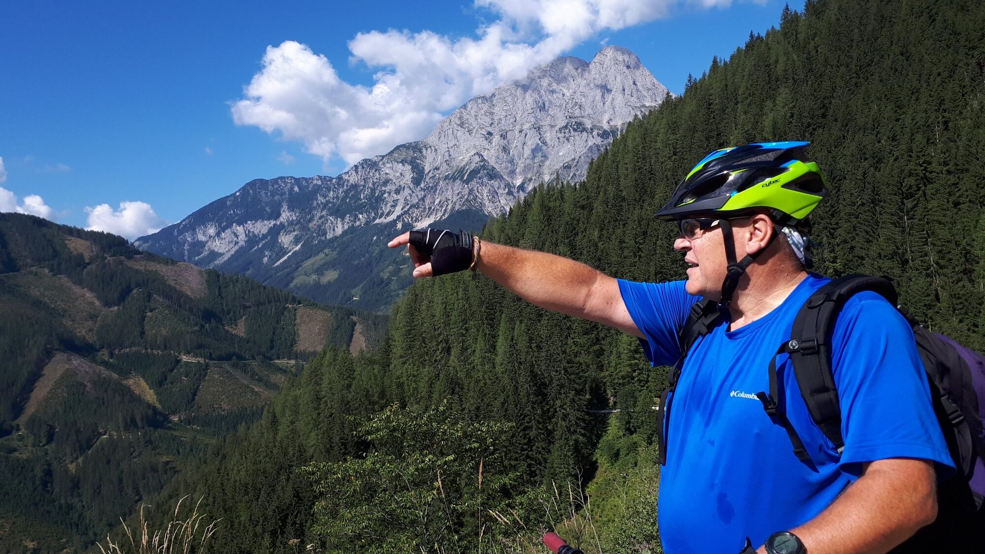
Typical MTB route for the sporty family with about 800 meters of altitude, peppered with a challenging climb to the Radmerhals and great views (Attention: no turnaround - route back to the Radmer not passable!). Numerous natural and cultural highlights along the route paired with views of the ski jump and biathlon facility and city tour through the center of Eisenerz with numerous refreshment stops.
- Directions
-
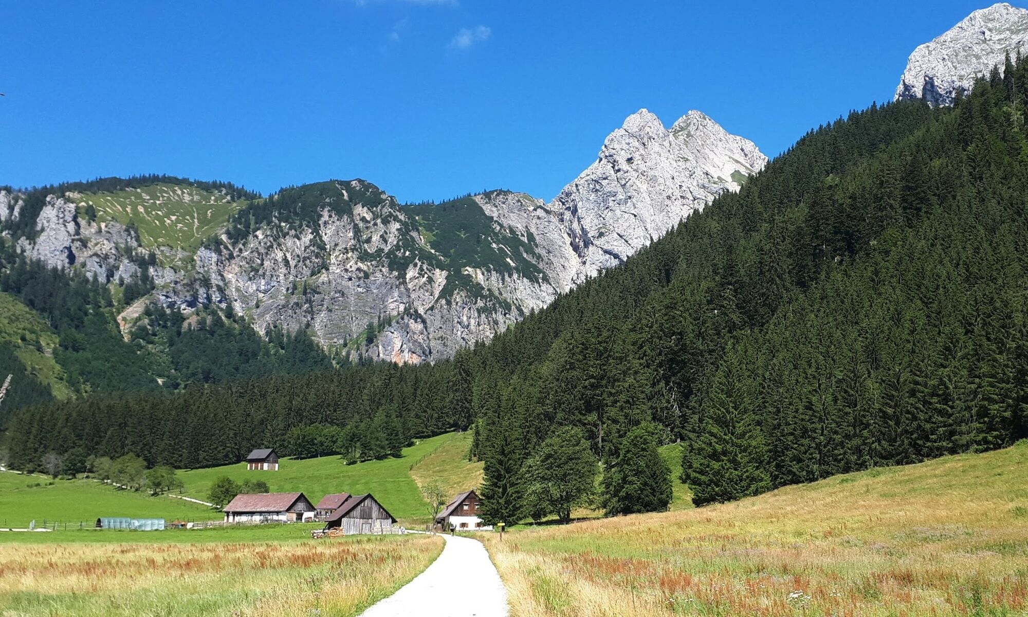
The starting point of this selective tour is at the parking lot of the Eisenerz sports hall, where you first cycle along the Eisenbundesstraße and after about 500 m turn right to the Leopoldsteinersee lake. At the northwest end of the lake, a gravel path with great views of the mountains leads back to the federal highway and on a bike path that crosses the road several times, over the "Wassermannsloch" to the turnoff to Radmer.
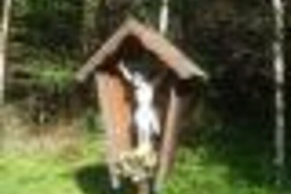
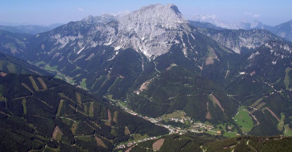
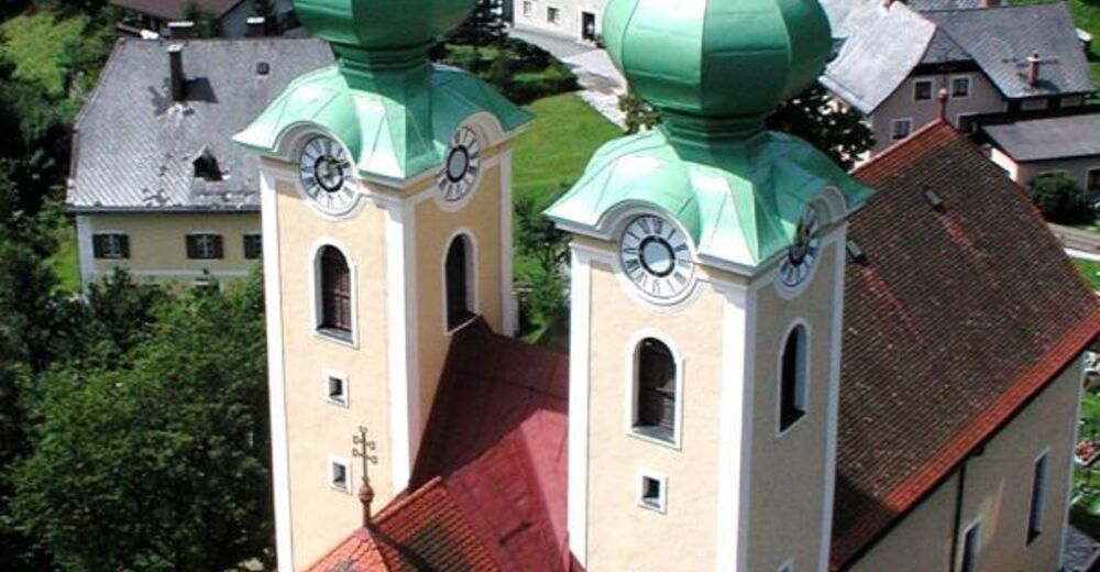
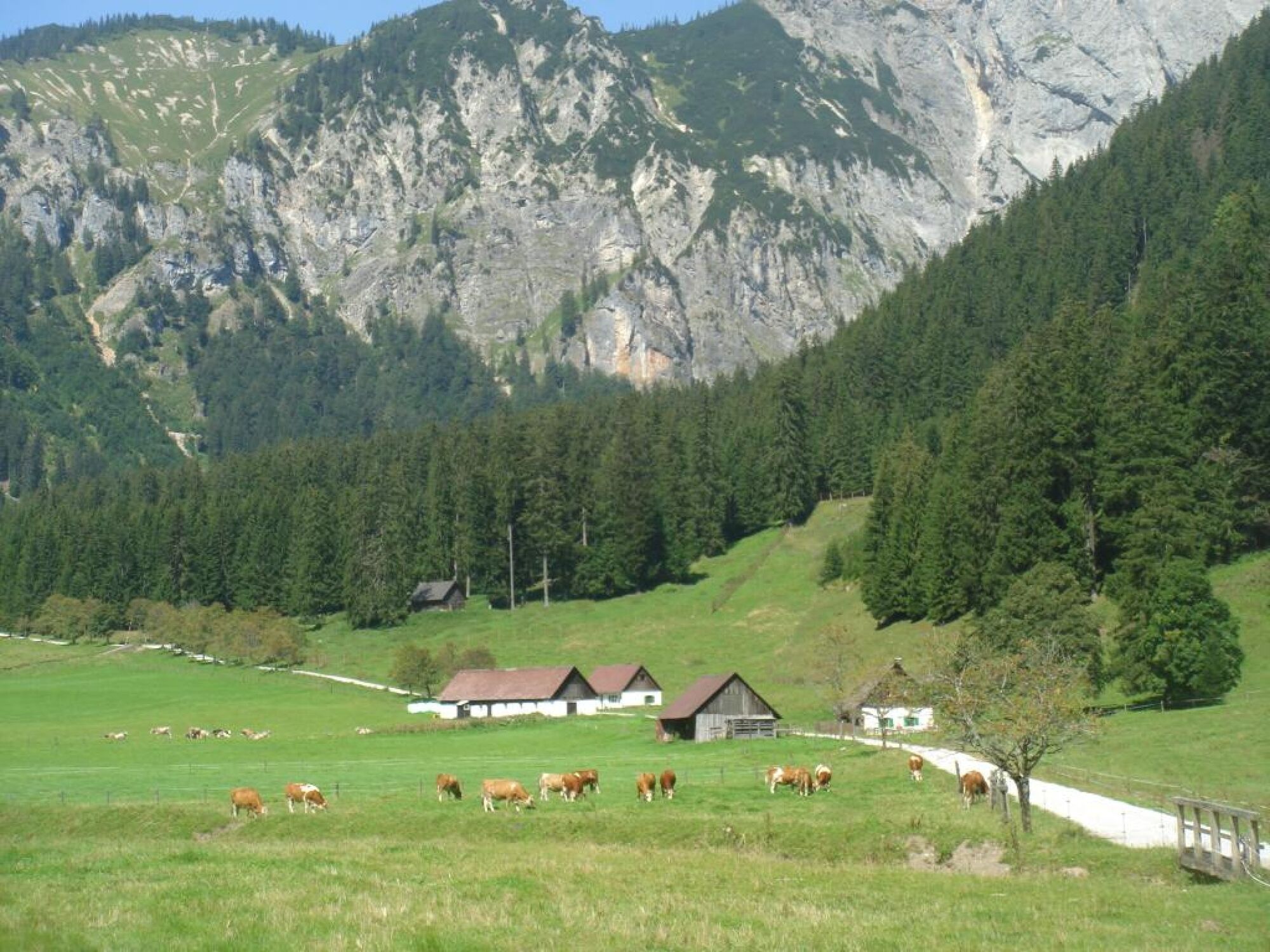
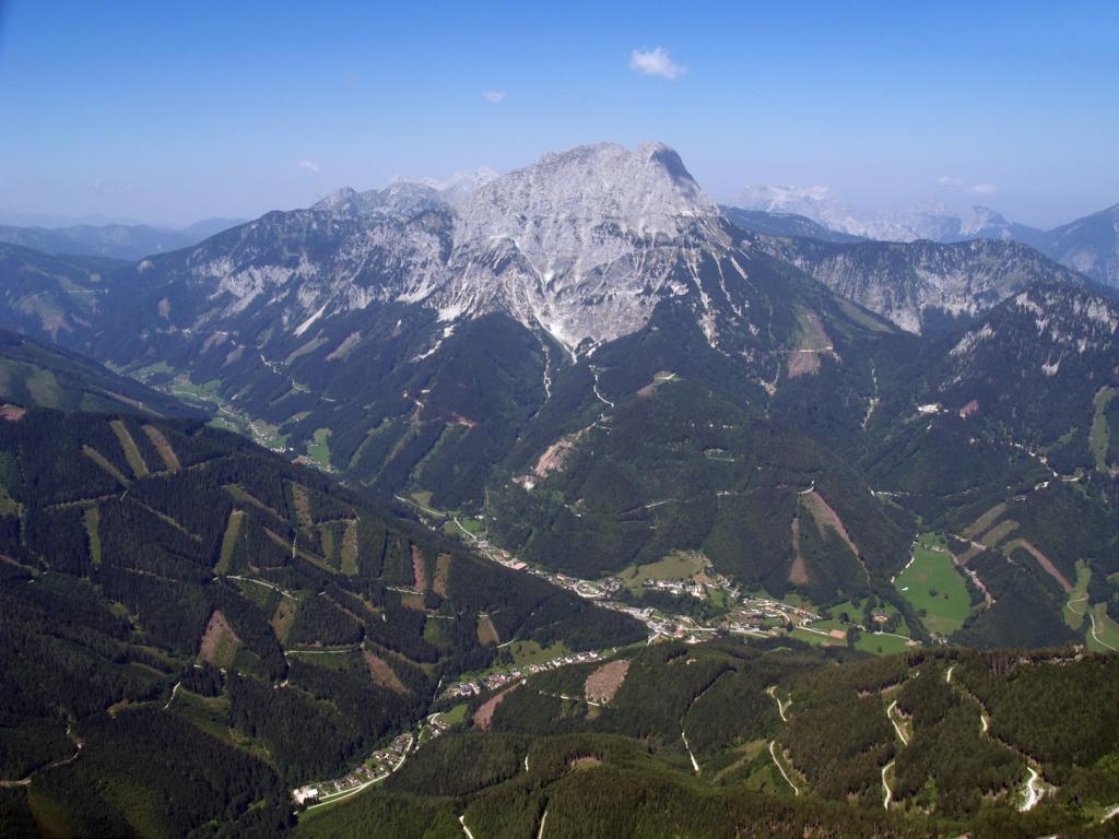
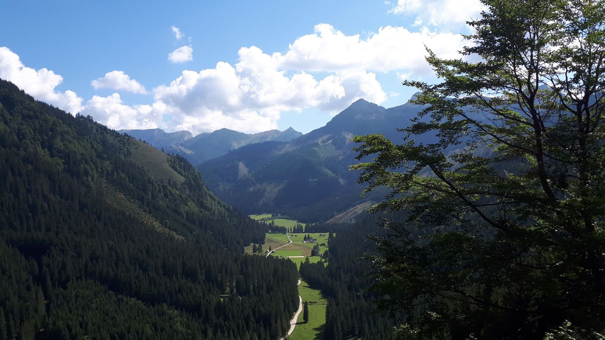
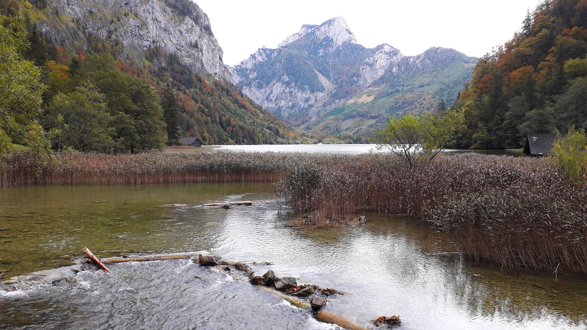
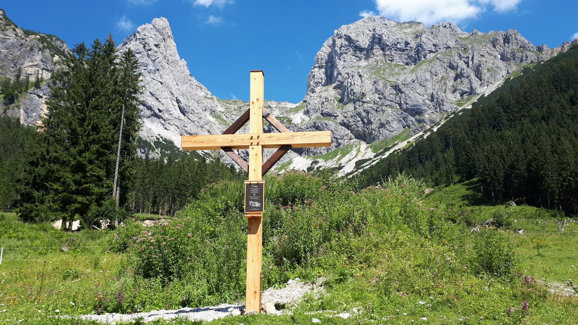
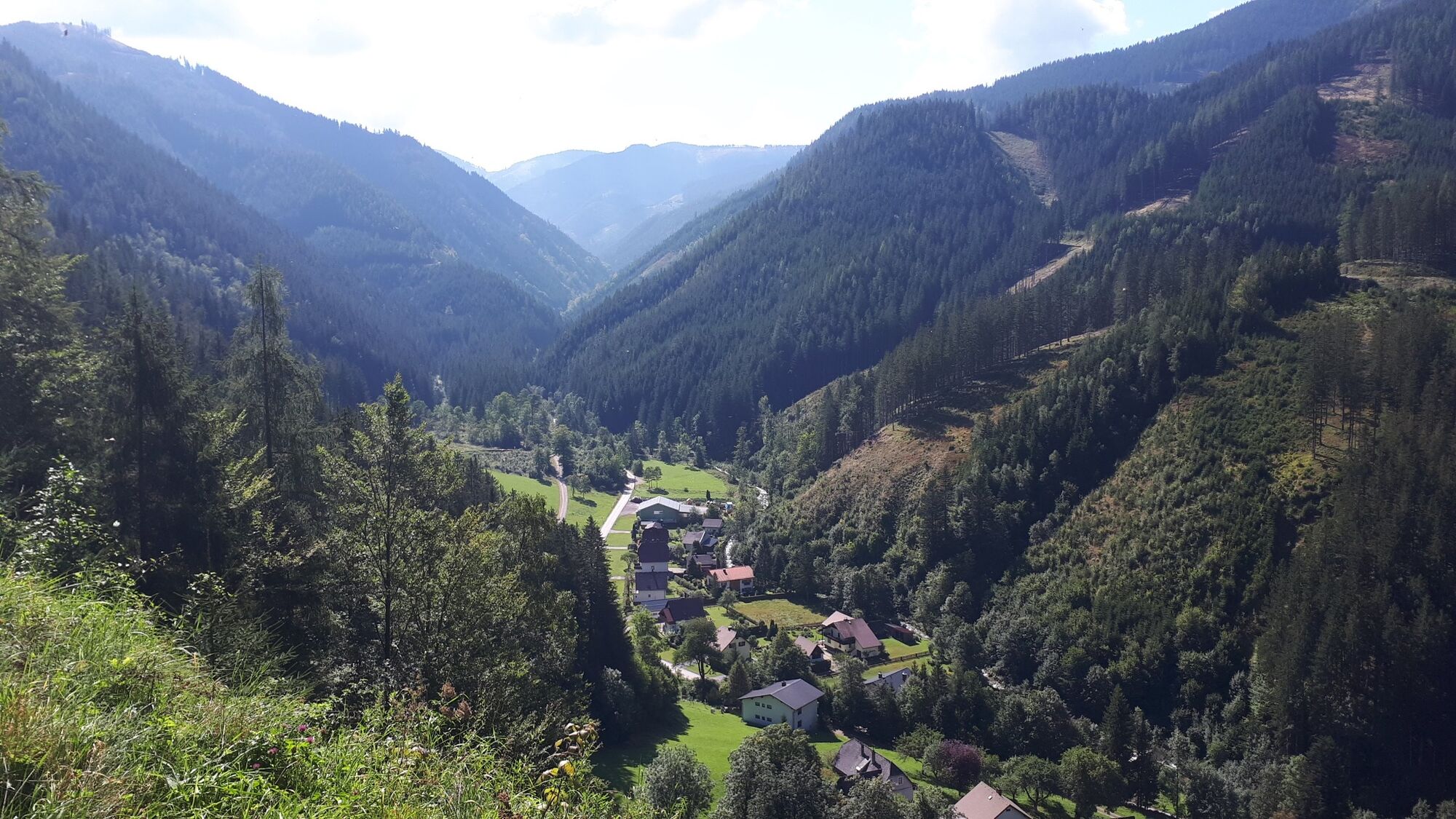
Slightly ascending, the route now leads on a little-used country road to the village of Radmer, where you turn left in the direction of Finstergraben. After only 300 m turn left again in the direction of Radmerhals. You now follow the forest road for about 8 km with steep, challenging climbs and views of Lugauer, Admonter Reichenstein and Pleschkogel to the apex at about 1300 m. At the top of the pass you will find an idyllic resting place with a bench and a shrine, before the descent into the Eisenerzer Ramsau begins with a magnificent panoramic view of the surrounding mountains.
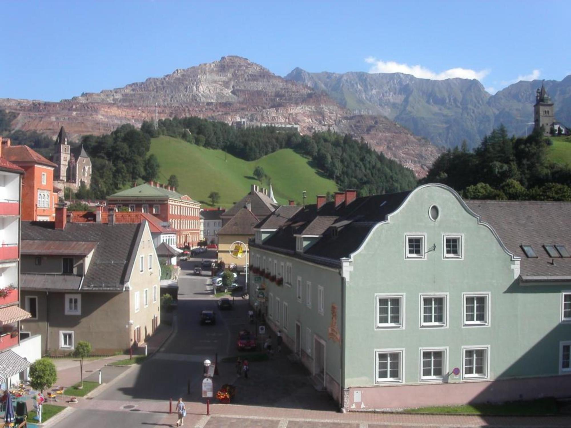
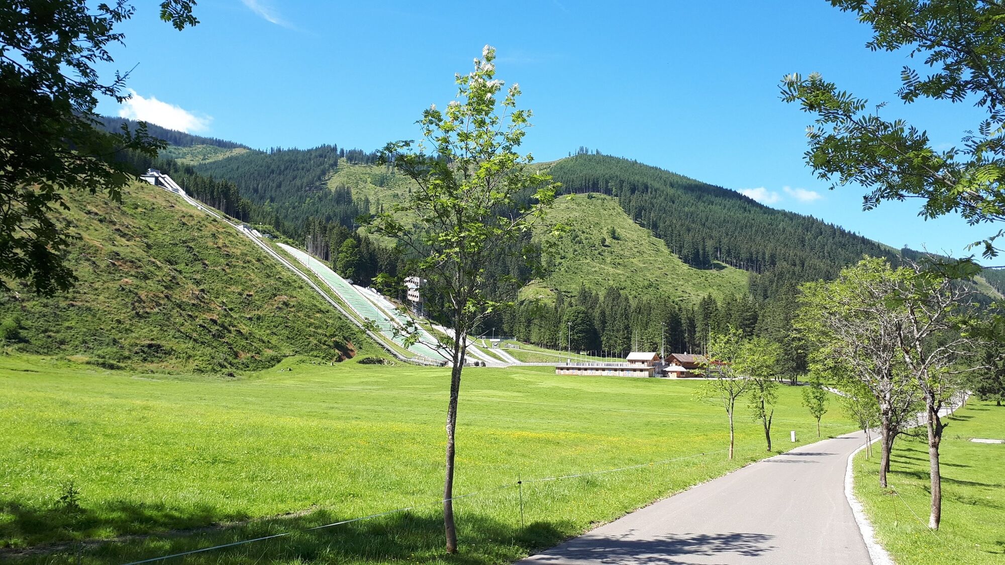
Caution is advised when passing through several cattle gates and from the Gemeindealm there are several opportunities to stop for refreshments. On asphalt it goes over the facilities of the Nordic Training Center and the Franzosenbichl back to Eisenerz and on narrow paths through the picturesque old town. Along the cycle path on the Eisenbundesstraße the tour now leads back to the starting point.
The route runs away from main roads, 20% on bike paths and 80% on side roads. The nature of these roads and paths are divided into 70% asphalt, 30% gravel.
- Highest point
- 1,301 m
- Endpoint
-
Eisenerz parking lot sports hall
- Height profile
-

- Equipment
-
The tour can be ridden with a mountain bike.
Tip: A basic equipment of tools and accessories such as spare tube and / or patch kit, wrench, air pump, brake and shift cable and a screwdriver can never hurt.
- Safety instructions
-
Eisenwadl.TESTED offers details and info about the tour online.
Accommodation options: Alpinresort Münichtal, JUFA guesthouse, Eisenerzer Hof, Erzhaus apartments, Mia Apartman.
Emergency call rescue: 144
Tip for emergency reporting - give answers to the six W-questions: What happened? How many injured? Where did the accident happen (possibly GPS coordinates)? Who is reporting (callback number)? When did the accident happen? Weather at the accident site?
- Tips
-
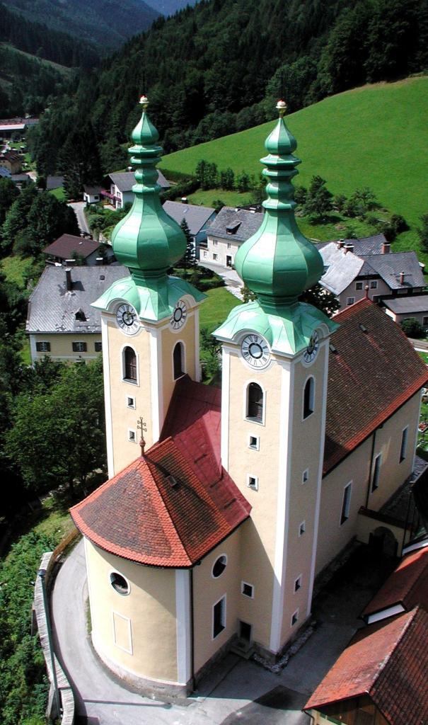
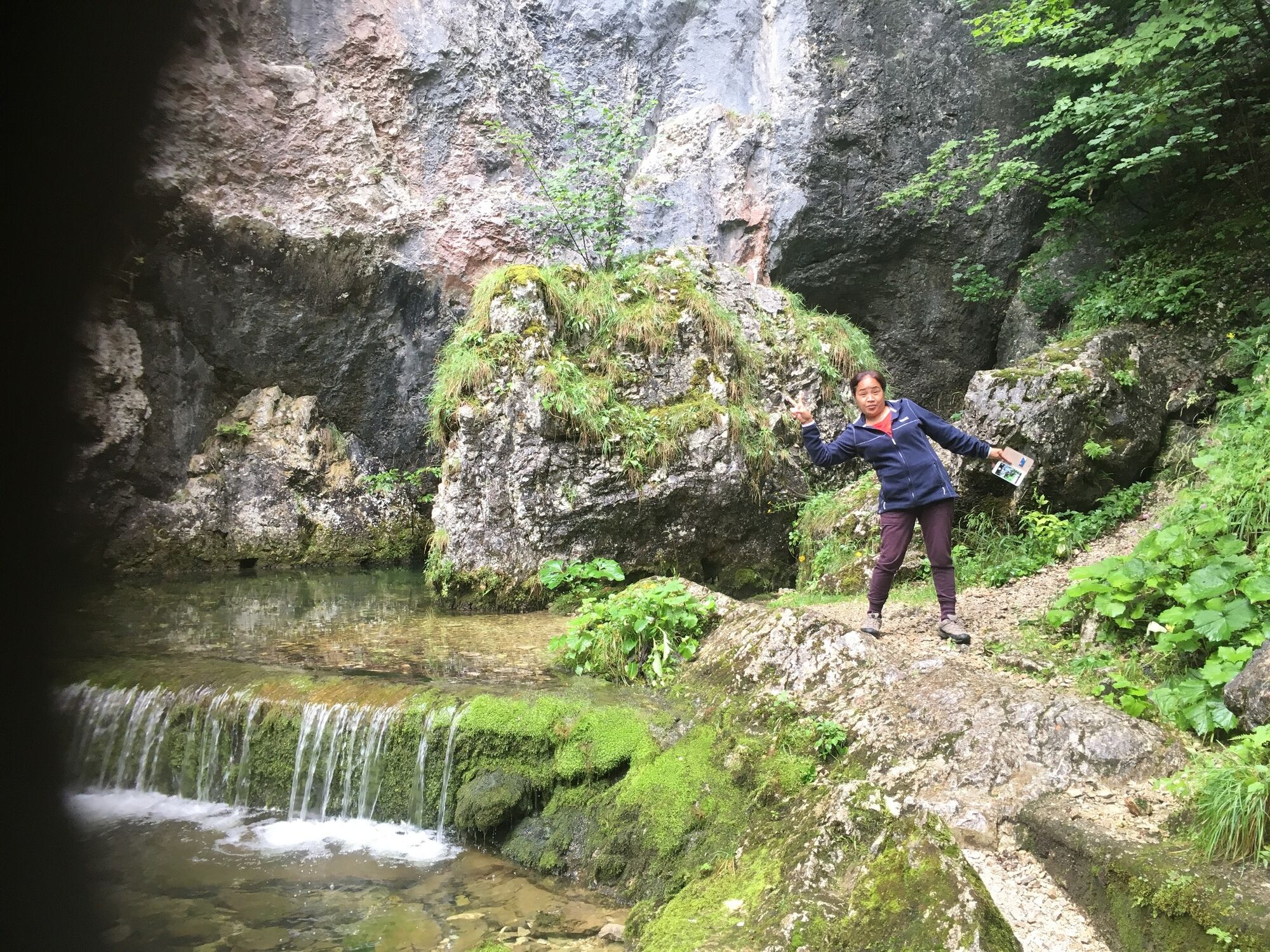
Culture Tip:Aquarius hole, pilgrimage church Radmer, copper mine in advance booking requested: 03635/20030 www.kupferschaubergwerk.at
- Additional information
- Directions
-
Approach from SALZBURG/MUNICH
Tauernautobahn direction Villach, exit Radstadt direction Graz, via Schladming, Liezen, Admont, Hieflau to Eisenerz
Approach from VIENNA
Wiener Neustadt via Semmering, Bruck/Mur, Leoben, Trofaiach to Eisenerz
Approach from BUDAPEST
Budapest - Sopron - border crossing Klingenbach - Eisenstadt - Wiener Neustadt - Semmering - Leoben - EisenerzorBudapest - Szombathely - border crossing Heiligenkreuz - Graz -St. MichaelorBruck/Mur - Eisenerz
Approach from PRAHA
Praha - Ceske Budejovice - border crossing Wulowitz - Freistadt - Linz -direction Graz to Liezen - Admont - Hieflau - Eisenerz
Approach from PASSAU (Suben)
Freeway direction Wels, exit direction Graz via Kirchdorf, Windischgarsten, Phyrnpaß or freeway tunnel (toll) to Ardning further to Admont, Hieflau and Eisenerz
Do not forget the freeway vignette. Possibly get at the border crossing!
- Public transportation
-
All timetables available at: www.busbahnbim.at Optimal journey via Leoben.
With the BusBahnBim app of the Verbundlinie, timetable information has never been easier: all bus, train and tram connections in Austria can be queried by entering locations and/or addresses, stops or important points. The app is available as a free app for smartphones (Android, iOS) - on Google Play and in the
- Parking
-
Parking in the center.
Parking at the Leopoldsteinersee.


- Author
-
The tour MTB Kaiserschildrunde LN 15 is used by outdooractive.com provided.


General info
-
Erzberg Leoben
174
-
Hochschwab
78
-
Radmer
11