

- Brief description
-
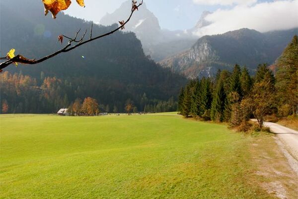
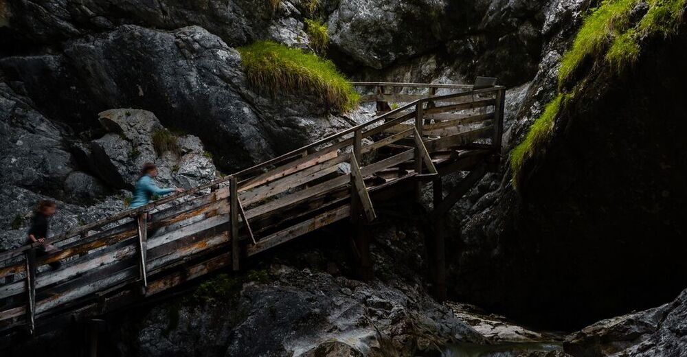
This bike & hike tour takes you to one of the most beautiful hiking starting points. The Wörschachklamm is a true natural jewel. The tour can also be combined very well with the signposted bike tour "Spechtensee Runde".
- Difficulty
-
easy
- Rating
-
- Starting point
-
Information Office Irdning
- Route
-
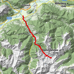
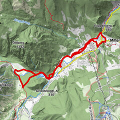
Gabriel0.1 kmIrdning0.1 kmPfarrkirche Irdning0.3 kmPoschenhof7.1 kmWörschach7.2 kmPfarrkirche hl. Anna8.2 kmMaitschern9.1 kmKetten11.9 kmHohenberg12.4 kmSchlattham14.5 kmKalvarienbergkapelle15.1 kmPizzeria Monalisa15.7 kmPfarrkirche Irdning15.8 kmIrdning15.9 kmGabriel15.9 km
- Best season
-
JanFebMarAprMayJunJulAugSepOctNovDec
- Description
-
Comfortable and panoramic bike & hike tour. It runs mostly on gravel paths or asphalt cycle paths. There are only a few ascents to overcome. The tour can be combined with the well-signposted Spechtensee-Runde bike tour and with a visit to the wildly romantic Wörschachklamm gorge.
Note the opening dates of the Wörschachklamm: Regular start with beginning of May until end of October
- Directions
-
From the starting point, turn right and drive along the main road through Irdning. After the church, turn left into Schulgasse and then immediately right into Schwarzenweg. Follow Schwarzenweg, a gravel road, until you reach the Enns. Turn right there and continue along the Ennsweg until you reach the Wörschacher Landesstraße. Turn left there and cycle first along the asphalt cycle path and then via Maitschern through the centre of Wörschach. Turn left at the junction "zur Wörschachklamm". There is a bike & hike station at the Wörschachklamm ticket office. Return along the same path, back through the centre of Wörschach to Maitschern. Continue along the Wörschach main road until you reach the Ennsweg. Return to the Ennsweg and turn left at the junction towards Hohenberg. Then follow the path on a moderate incline via Hohenberg, past the Putterer See lake and on to Schlattham. There, take the asphalt cycle path back to the starting point at the information office in Irdning.
- Highest point
- 673 m
- Endpoint
-
Information Office Irdning
- Height profile
-

- Equipment
-
Cycling clothing, cycle helmet, sturdy shoes, rain gear, enough to drink.
- Safety instructions
-
Weather changes, rapid temperature drops, thunderstorms, wind and fog are objective dangers and require the right behaviour on the trail. Lack of equipment, overestimation of one's own capabilities, carelessness, poor physical condition and incorrect assessment can lead to critical situations. During thunderstorms: avoid peaks, ridges and trees at all costs!
In case of emergency, please dial the following emergency numbers: No. 140 - Mountain rescue No. 112 - Euro emergency call
Translated with www.DeepL.com/Translator (free version)
- Tips
-
After the Wörschachklamm gorge, take the larger loop in the direction of Oberkogler Alm and stop there.
- Additional information
-
The Wörschachklamm is open daily from 08:00 - 18:00 between the beginning of May and 31th of October.
- Directions
-
From Schladming: Follow the B320 to Trautenfels. There turn right in the direction of Irdning. Follow the road to Irdning. The starting point is the Grimming-Donnersbachtal Tourist Office, a red building on the right-hand side of the road in the centre of Irdning.
From Liezen: Follow the B320 to Trautenfels. There turn left in the direction of Irdning. Follow the road to Irdning. The starting point is the Grimming-Donnersbachtal Tourist Association, a red building on the right-hand side of the road in the centre of Irdning.
- Public transportation
- Parking
-
Limited parking is available at the municipal car park (opposite the tourist office).


-

-
AuthorThe tour Bike & Hike Tour Wörschachklamm Gorge is used by outdooractive.com provided.