- Brief description
-
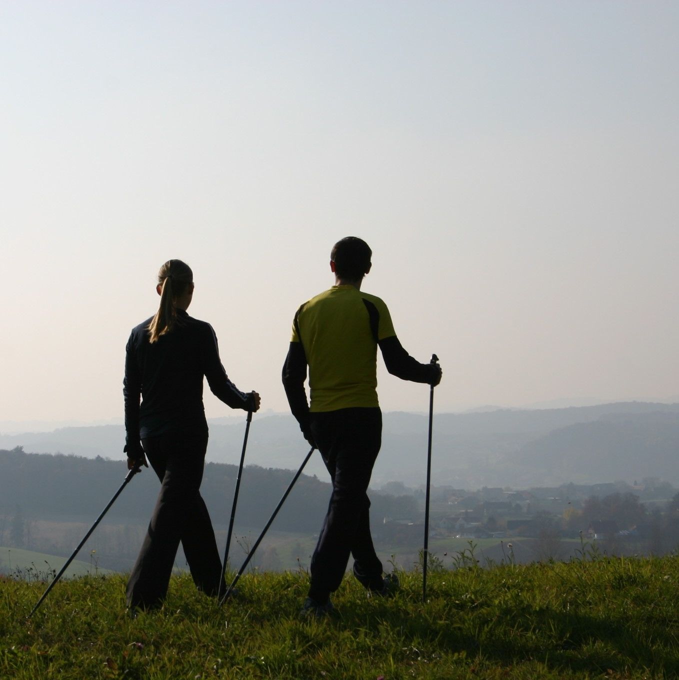
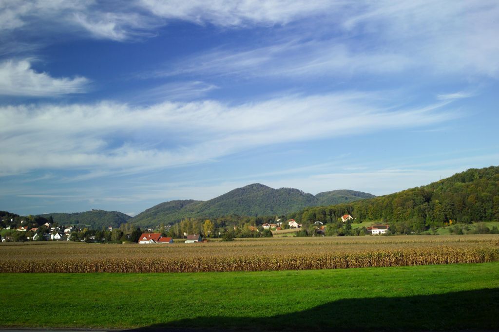
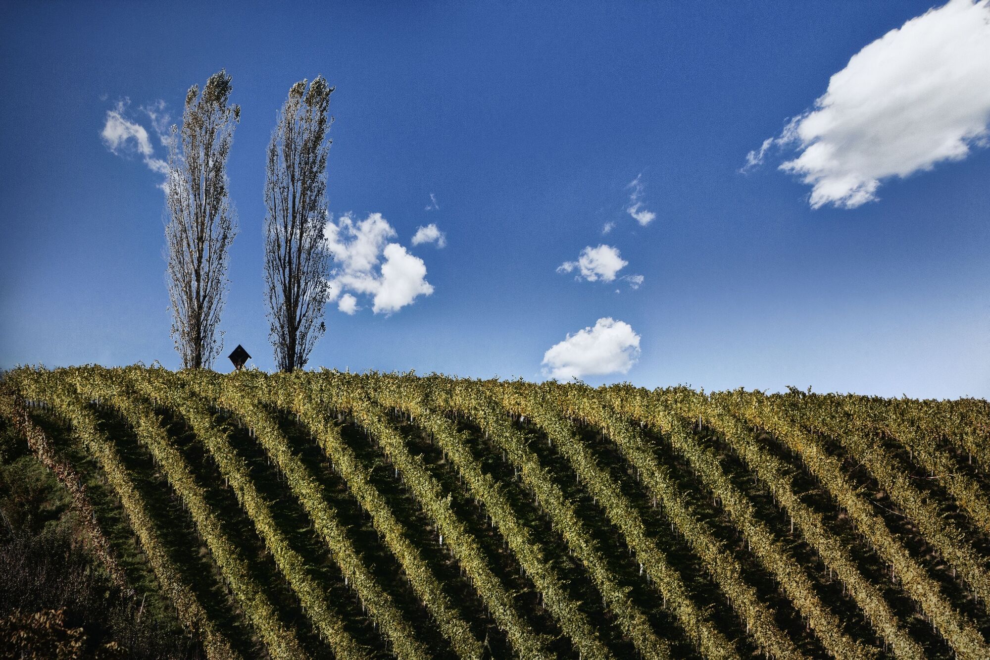
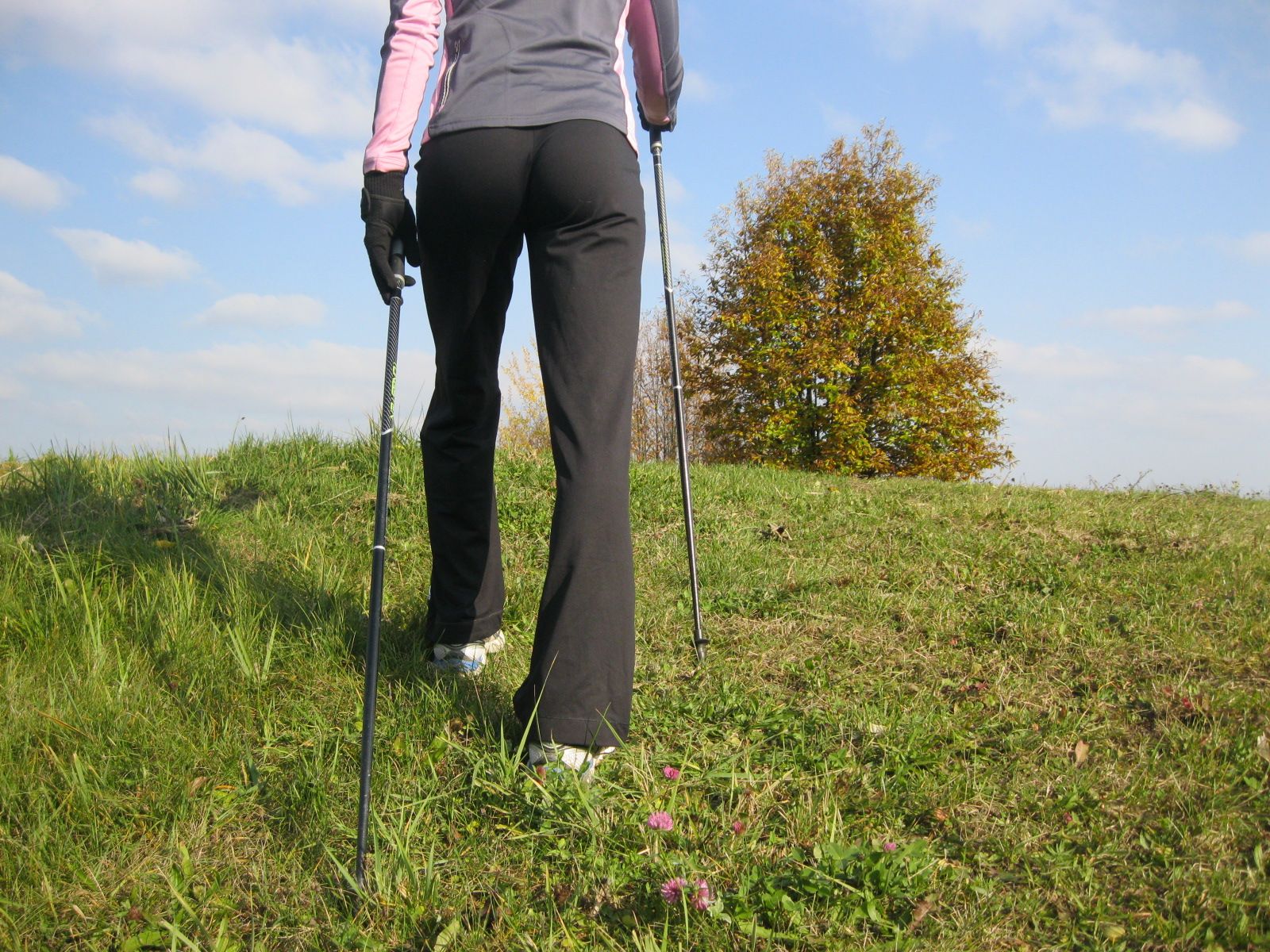
Let's run or walk through the beautiful landscape of the Bad Gleichenberg region. The start of the tour is at the Kurhaus (spa, therapy center and hotel), we continue in the direction of Merkendorf, past the store museum and the sports facility. Let's enjoy the landscape with its hills and wide fields.
- Difficulty
-
difficult
- Rating
-
- Starting point
-
Eingang Das Kurhaus Bad Gleichenberg
- Route
-
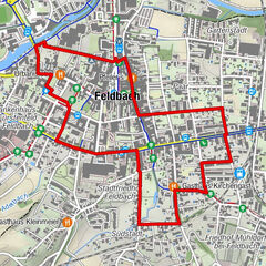
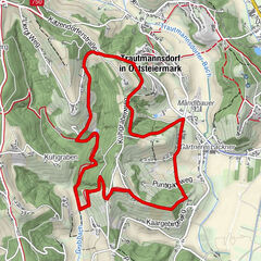
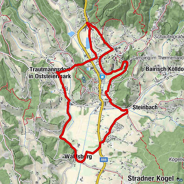
Bad Gleichenberg0.5 kmMerkendorf3.1 kmWaldsberg4.4 kmTrautmannsdorf in Oststeiermark7.4 kmWiesenthal8.3 kmGleichenberg Dorf9.5 kmBad Gleichenberg11.5 km
- Best season
-
JanFebMarAprMayJunJulAugSepOctNovDec
- Description
-
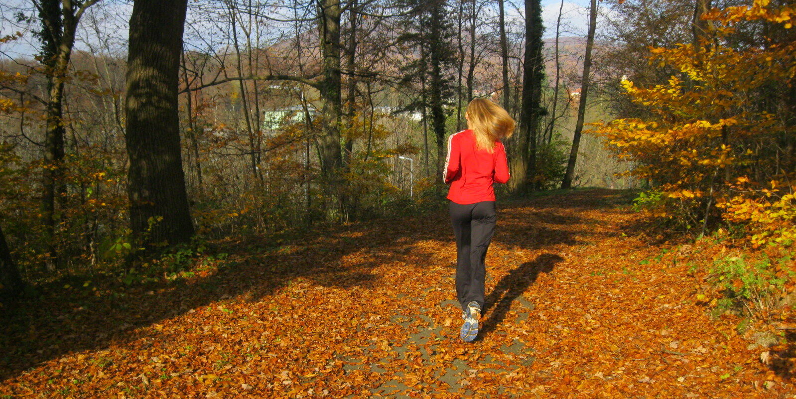
The village run begins and ends in front of the entrance to the Kurhaus. It connects Bad Gleichenberg, Merkendorf, Waldsberg and Trautmannsdorf on more than 12 km. At the beginning we can choose between two variants with different levels of difficulty.
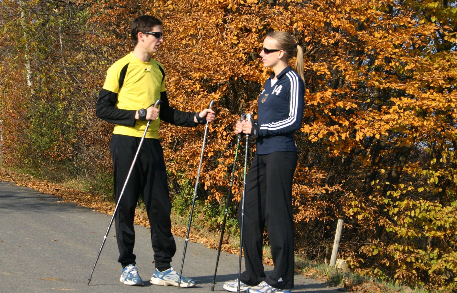
The length and also the three short but crisp climbs make it optimal for longer, more intense training sessions. Those who are still at the beginning of their training should take walking breaks now and then. The village run is mostly on asphalt and gravel.
- Directions
-
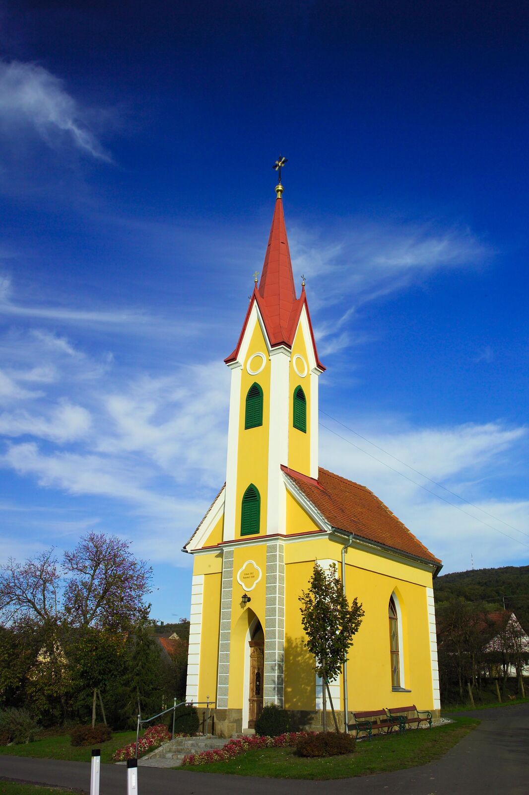
The village run variant 1 we start at the entrance of the spa house from there it goes along the spa park and past the old fire department. Here the path goes straight into the Krügeleistraße, up to the federal road. Crossing the main road, we soon reach the Gutmann Chapel. Via Mitterfeldweg we continue to Merkendorf (there is a department store here if you want to buy drinks or a snack).
Past the department store we cross the main road, now we have arrived at the sports center in Merkendorf. Here you have the possibility to shoot a bow, to play soccer or to shoot a stick. A field path leads us further to Waldsberg, where we can stop by at the vintner Wurzinger for a cellar tour (registration is requested). From Waldsberg, we walk in the direction of Kaargebirge and Trautmannsdorf. In Trautmannsdorf we pass the riding arena and walk almost to the center of the village. From there we run or walk on the direct way to Bad Gleichenberg, then further in the direction of Gleichenberg village and back to the center.
- Highest point
- 312 m
- Endpoint
-
Eingang Das Kurhaus Bad Gleichenberg
- Height profile
-

- Equipment
-
Proper backpack packing makes many things easier: Pack heavy things first. The water bottle should always be within reach in a side pocket. All the things that are often needed, such as sunglasses, camera or hiking map, belong on top. An emergency kit, including blister plasters, belongs in every rucksack and it is always advisable to dress in layers.
- Safety instructions
-
Emergency call mountain rescue: 140
ambulance: 144
European emergency call: 112
firefighters: 122
police: 133Tips when reporting an emergency – Answer these six WH questions: What happened? How many people are injured? Where did the accident happen (are there GPS coordinates)? Who is reporting the incident (callback number)? When did the accident happen? What is the weather like at the site of the incident?
- Tips
-
Running and walking - the accompanying booklet is available at the Tourist Office Region Bad Gleichenberg.
- Additional information
- Arrival
- Public transportation
-
Detailed information about arriving by ÖBB (Austrian Federal Railways) can be found at www.oebb.at or on the Verbundlinie Steiermark website www.busbahnbim.at
With Verbundlinie’s BusBahnBim route planner app, planning your journey has never been easier: simply enter towns and/or addresses, stop names or points of interest to check all bus, train and tram connections in Austria. The app is available free of charge for smartphones – on Google Play and in the App Store
- Parking
-
Bad Gleichenberg train station
directly at the Kurhaus Bad Gleichenberg
- Author
-
The tour Village run (Dörferlauf) is used by outdooractive.com provided.


General info
-
Oststeiermark
111
-
Bad Gleichenberg
30
-
Bad Gleichenberg
14