- Brief description
-
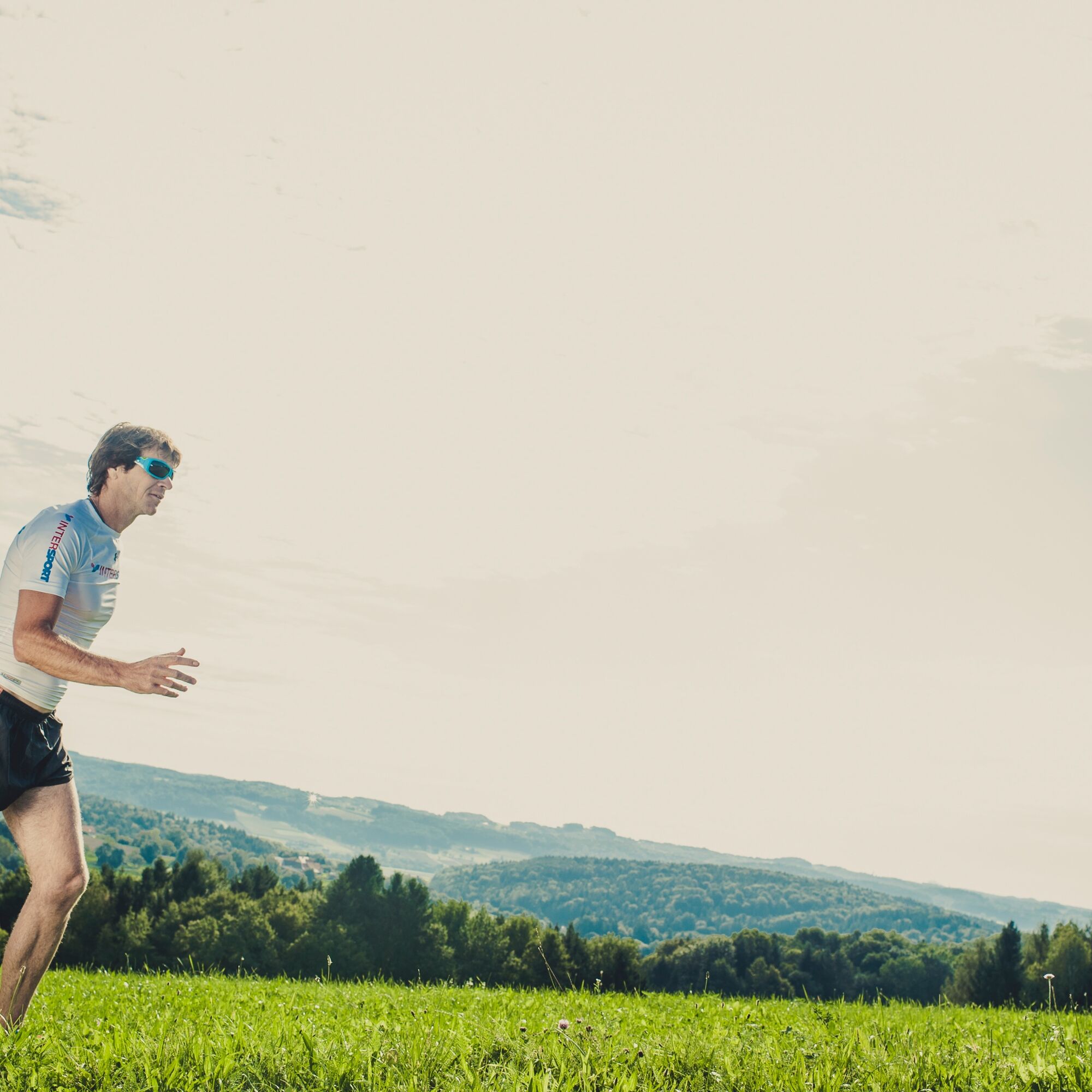
Running, walking and Nordic walking are good for the body, mind and soul and are twice as much fun as a couple or in a group.
- Difficulty
-
medium
- Rating
-
- Starting point
-
Gleisdorf, Solar stadium
- Route
-
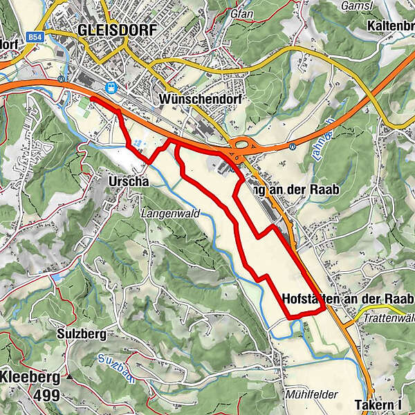
Gleisdorf0.0 kmUrscha1.1 kmHofstätten an der Raab5.0 kmPirching an der Raab6.2 kmUrscha8.8 kmGleisdorf9.8 km
- Best season
-
JanFebMarAprMayJunJulAugSepOctNovDec
- Description
-
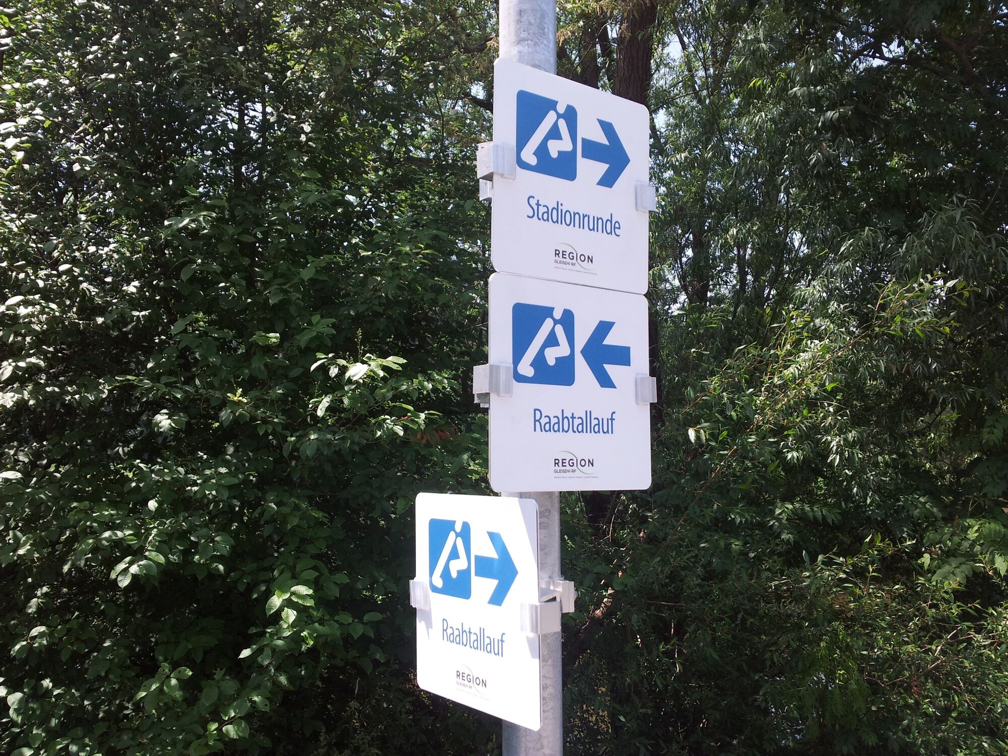
The Raabtallauf runs from the stadium to the turning point near Hofstätten. Here you can decide whether you want to walk back the familiar route or use the newly created circuit - each of the two variants extends over a total of 10 km.
The route runs largely on traffic-calmed routes through agricultural areas in the Raabtal. Be careful of cyclists and riders along the route!
You can even train for a marathon here four times.
- Directions
-
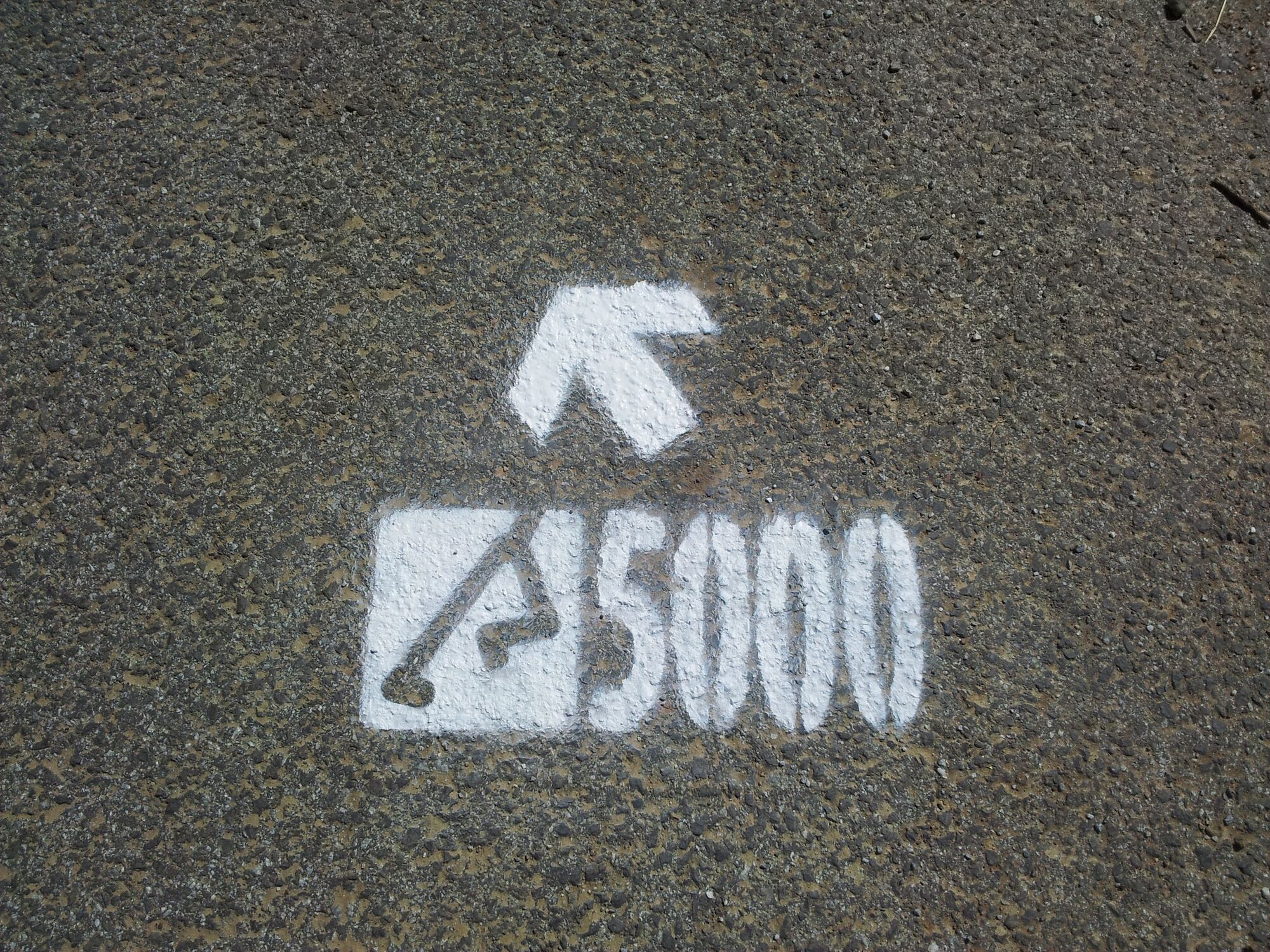
We start at the Solar stadium - the stadium behind us, the street in front - clockwise to the right. After the long straight, we walk past the junction into Mühlgasse and immediately take the second street on the right, Urschaweg. At the end of the Urschaweg, we keep left and walk on Steinbergstrasse to the bridge over the Raab (where the Schwab inn is on the right) and turn left there. We pass the RC Gleisdorf riding stables and walk to the intersection next to the motorway, where we turn right and follow Raabweg until we reach Sulzstrasse (we can turn around there and walk back the same way). Then left again, to the intersection in front of the railway crossing, where we keep left again and turn, and continue along the tracks to Fraissweg, we turn left there, and then immediately we turn right again into Mitterweg. At the end of this path, we turn right and before the railway tracks we turn left again on Bramacstrasse along the railway tracks until we end up again at the intersection next to the motorway in the direction of the riding stables and we take the first part of the route back.
- Highest point
- 346 m
- Endpoint
-
Gleisdorf, Solar stadium (or Hofstätten an der Raab turning point)
- Height profile
-

- Equipment
-
Make sure you wear good shoes!
- Safety instructions
-
Warm up
Don't overdo it
Running is more fun in a group - Tips
-
Football enthusiasts have come to the right place at the Solar stadium in Gleisdorf!
- Additional information
-
Further information about the region, where you can stop off, where there are rooms and where you can find descriptions of the excursion destinations and businesses:
Tourism Eastern Styria
Association Gleisdorf officeTown Hall, Rathausplatz 1
8200 GleisdorfEmail: gleisdorf@oststeiermark.com
Website: www.oststeiermark.com
- Directions
- Public transportation
- Parking
-

-
AuthorThe tour Raabtallauf with circuit, Gleisdorf region is used by outdooractive.com provided.