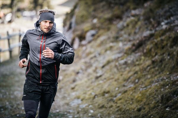
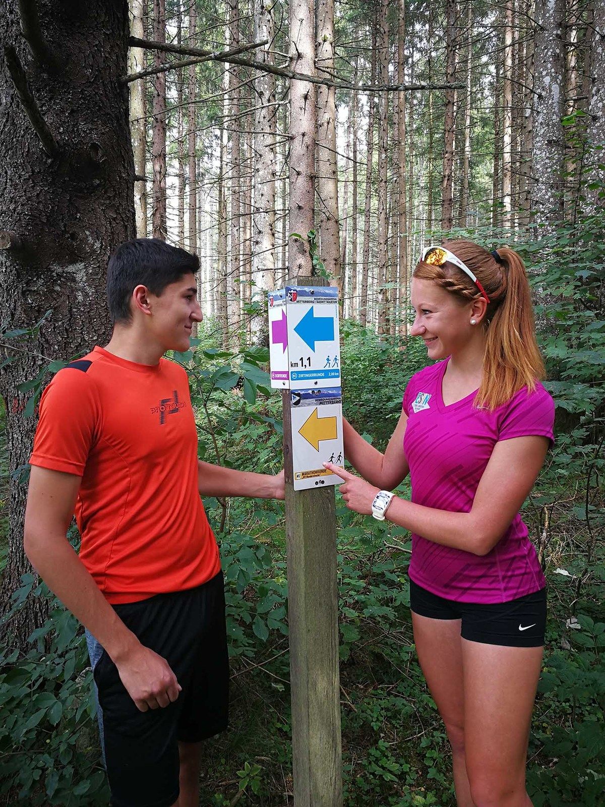
© GREEN SPORTS - RUNNERSFUN Consulting GmbH - Felix Ettinger


- Difficulty
-
difficult
- Rating
-
- Route
-
Tipschern0.1 kmSalza2.2 kmPrenten4.7 kmTipschern6.0 km
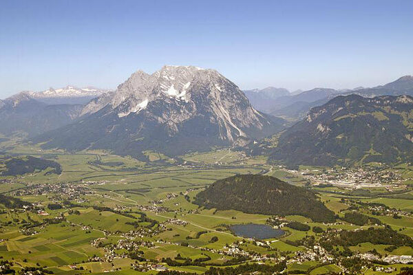
- Highest point
- 777 m
- Height profile
-

- Author
-
The tour Tipschern Panoramarunde is used by outdooractive.com provided.
GPS Downloads


Other tours in the regions