


- Brief description
- Difficulty
-
easy
- Rating
-
- Starting point
-
Stainz castle
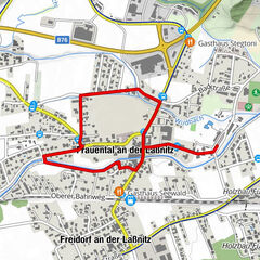
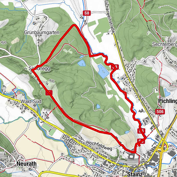
- Route
-
Pfarrkirche Heilige Katharina0.1 kmStainz0.2 kmSchönegg3.9 kmStainz5.6 km
- Best season
-
JanFebMarAprMayJunJulAugSepOctNovDec
- Description
-
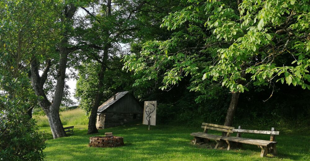
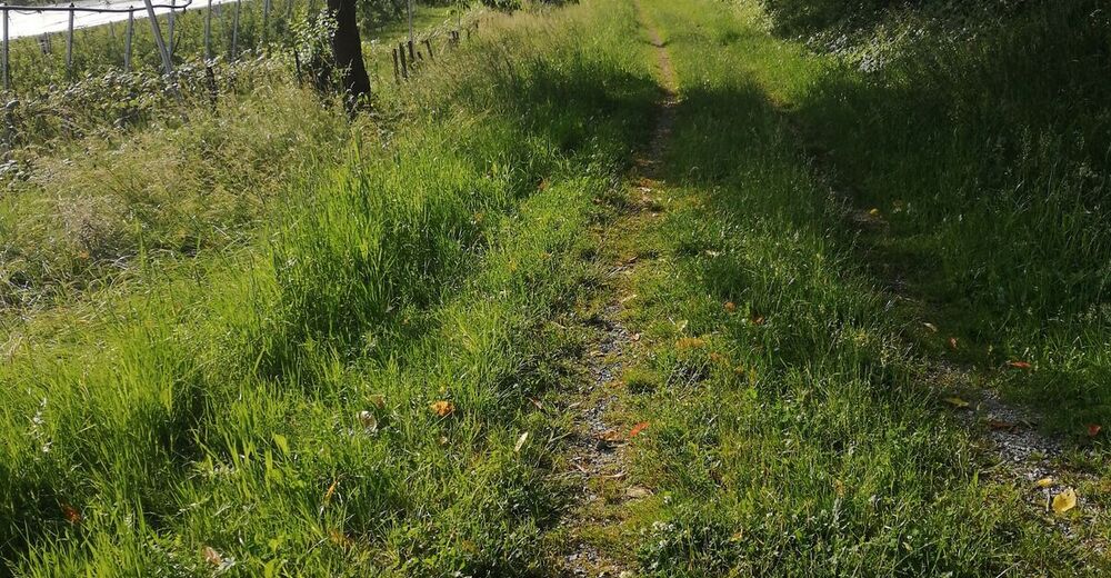
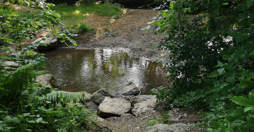
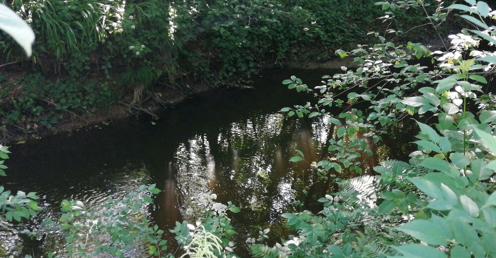
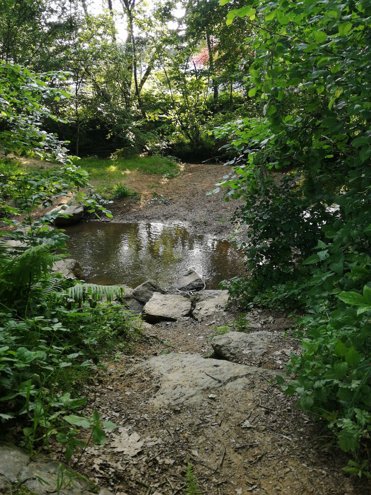
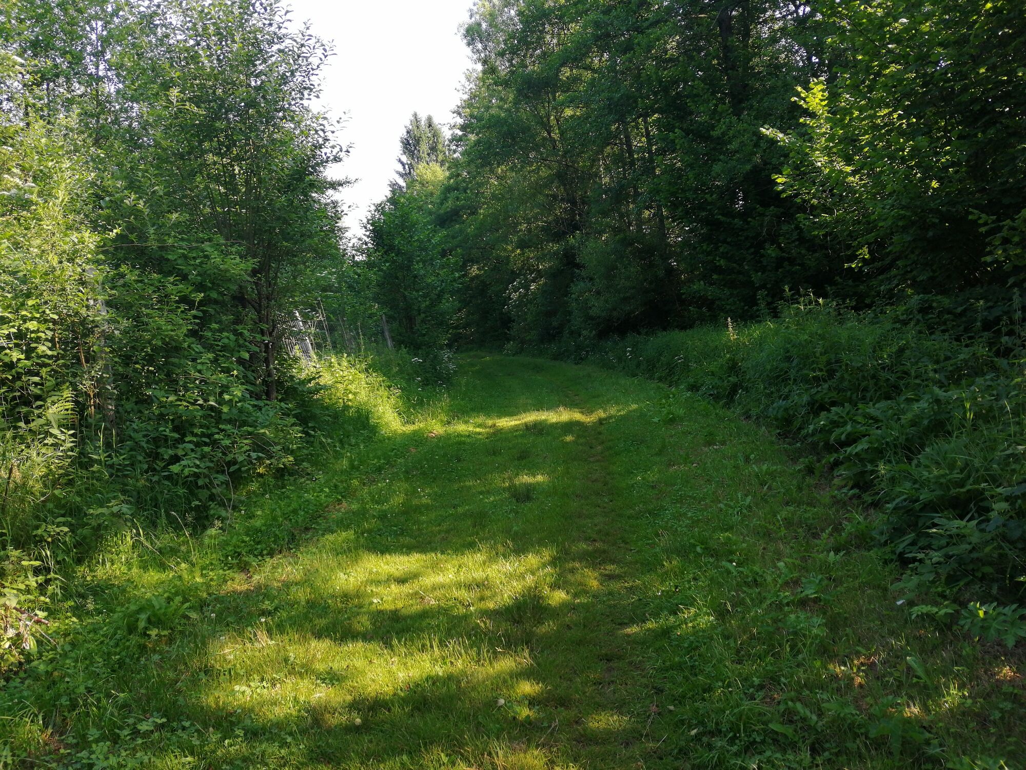
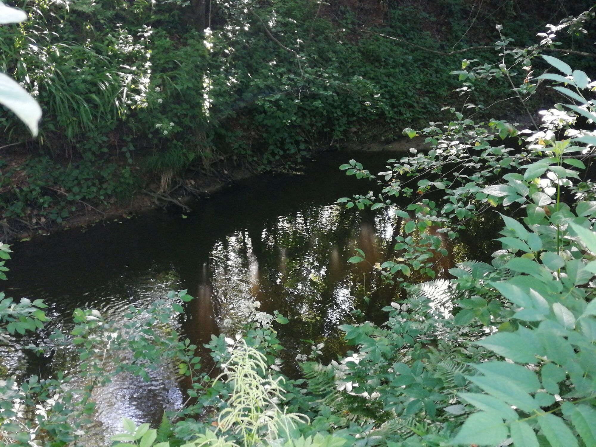
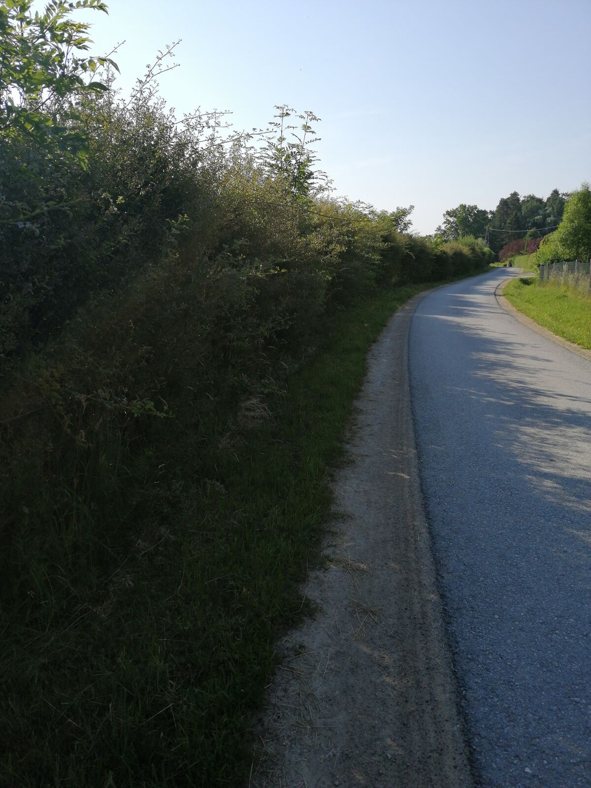
This running route is located in the middle of nature. You start the route on a small path in the direction of the Lemsitzbach stream. You run along it in a cool and pleasant atmosphere. A pure experience of nature for running enthusiasts - perhaps you can spot animals such as hares or deer. Part of this trail is used as a cross-country ski trail in winter and is a paradise for cross-country skiers. The last 1.5 km you run on a gravel path, back to Stainz Castle. The Schloss Stainz Cafe provides the necessary refreshment.
- Directions
-
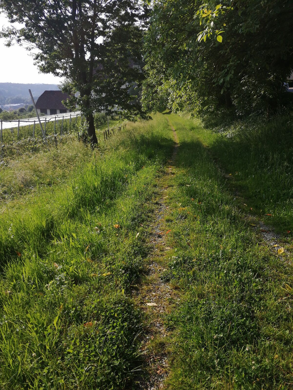
This running route takes you through the wonderful nature of Stainz. Starting at Stainz Castle, take the meadow path down towards the Lemsitzbach stream. Once you reach the bottom, run along the path against the direction of the stream. Follow this path for the next 2.5 km. Always keep to the left. Remember to also enjoy the beautiful nature here in Schilcherland. After a total distance of 2.9 kilometres, the trail leads away from the stream and into the forest. You now walk slightly uphill for one kilometre. At the top, you will see the drinking fountain on your right. Refresh yourself and recharge your batteries for the last stretch. You are now on the Bründlwald path. This path leads you directly to the starting point.
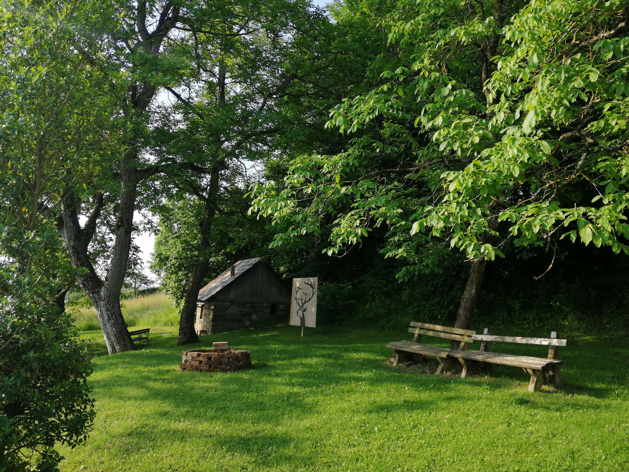
You have now completed your run and can enjoy Stainz Castle while resting on one of the many benches.
- Highest point
- 407 m
- Endpoint
-
Stainz castle
- Height profile
-

- Equipment
-
Running shoes and seasonal running clothes.
- Safety instructions
-
Suitable running clothes are an advantage.
Rescue: 144
Emergency reporting tip - give answers to the six W questions: What happened? How many injured? Where did the accident happen (possibly GPS coordinates)? Who reported the accident (call-back number)? When did the accident happen? Weather at the accident site?
- Tips
-
In Schönegg, approx. 1.5 km before the finish, there is a drinking fountain. Use this for refreshment.
- Arrival
-
Plan your journey via Google Maps to the starting point of the tour: www.google.at/maps
From the north: Motorway Munich - Salzburg - Eben - Schladming - Liezen onto the A9 towards Graz. Exit at Lieboch and follow the B76 towards Deutschlandsberg. In Stainz leave the B76 and follow the direction of Schloss Stainz.
A9 is subject to toll - Gleinalmtunnel. Alternative: at St. Michael take the S6 towards Bruck and in Bruck take the S35 towards Graz.
From the west: In Villach take the A2 towards Klagenfurt. Take the Steinberg exit and head towards Stainz.
From the east: A2: Vienna - Aspang - Hartberg - Fürstenfeld - Graz. From Graz continue on the A2 in the direction of Klagenfurt and take the Lieboch exit in the direction of Stainz/Deutschlandsberg/Eibiswald. Follow the B76 to Stainz.
From the south: A1 from Marburg to Leibnitz. Exit in Leibnitz (Gralla) and continue on the B74 in the direction of Deutschlandsberg (Heimschuh - Gleinstätten - St.Martin - Deutschlandsberg). Pass the LKH Deutschlandsberg, at each of the four roundabouts take the second exit in the direction of Stainz-Graz. Follow the B 76 in the direction of Stainz. Directly in Stainz, take the third exit at the JET roundabout and drive in the direction of Zentrum / Schloss Stainz.
- Public transportation
-
You can find timetables and travel information directly at
With the BusBahnBim app of the Verbundlinie, timetable information is easier than ever: all connections by bus, train and tram in Austria can be retrieved by entering places and/or addresses, stops or important points. The app is available as a free app for smartphones (Android, iOS) - on Google Play and in the App Store.
- Parking

-

-
AuthorThe tour Bründlwald run is used by outdooractive.com provided.