© Erlebnisregion Schladming-Dachstein - Peter Perhab

© Erlebnisregion Schladming-Dachstein - Peter Perhab

© Erlebnisregion Schladming-Dachstein - Peter Perhab

© Erlebnisregion Schladming-Dachstein - Peter Perhab

© Erlebnisregion Schladming-Dachstein - Peter Perhab
- Brief description
-
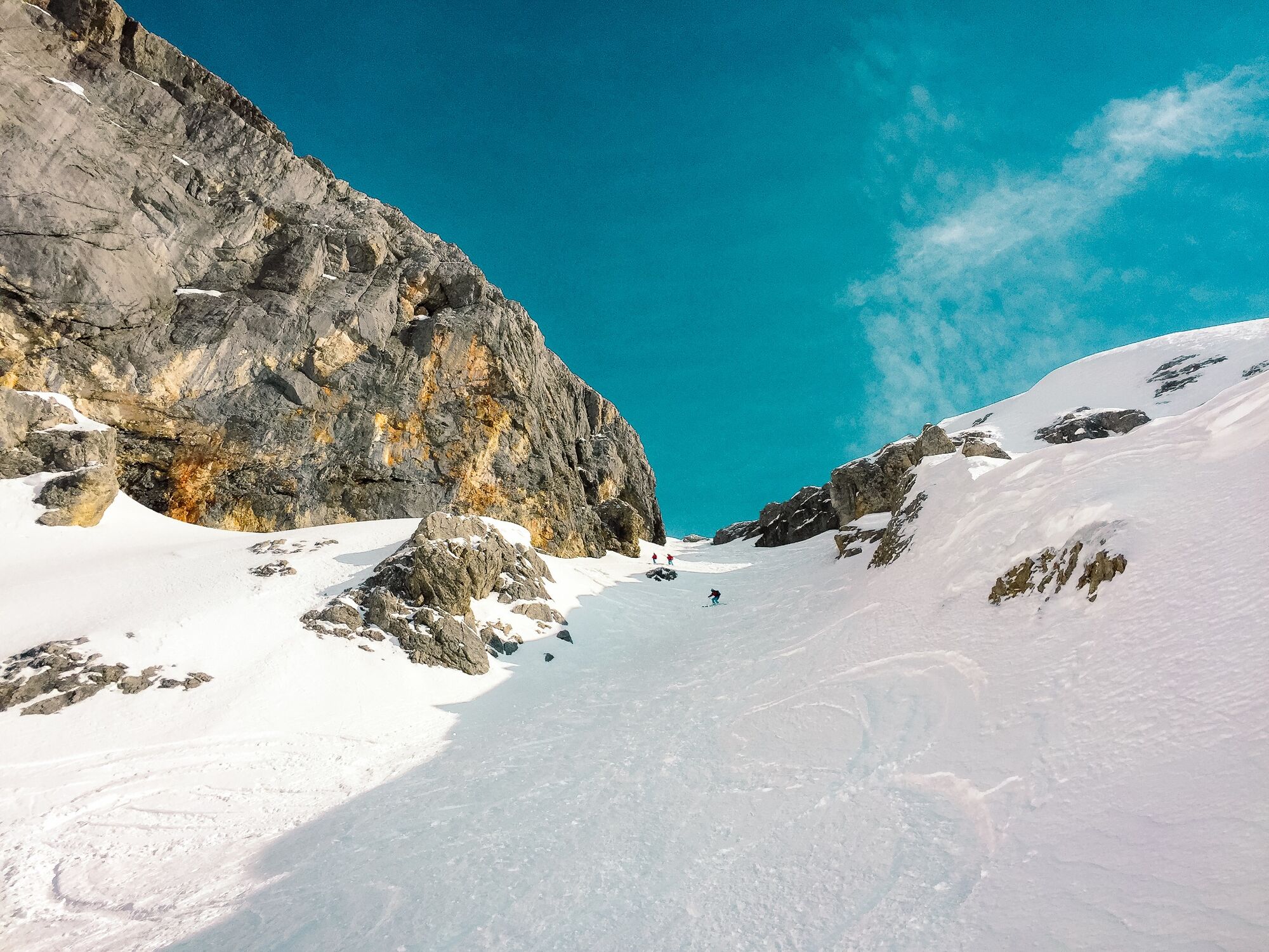
Ski touring experiences in the middle of untouched nature.
- Difficulty
-
difficult
- Rating
-
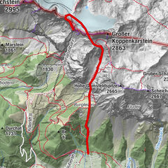
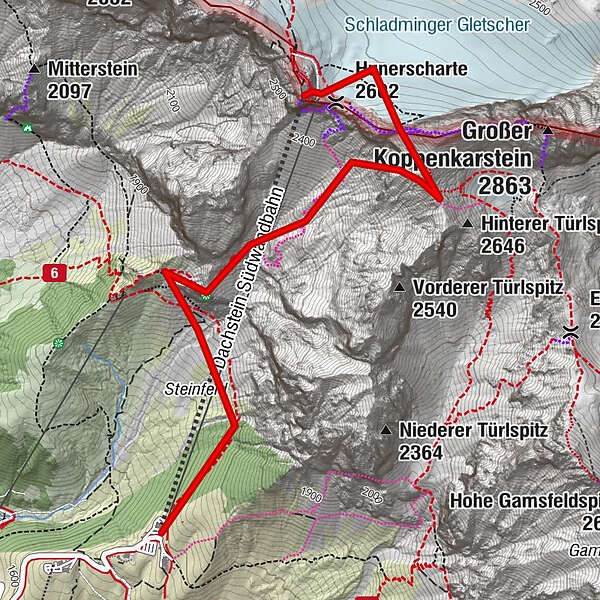
- Route
-
Hunerkogel (2,687 m)0.0 kmDachstein glacier restaurant0.0 kmHunerscharte (2,602 m)0.1 kmAustriascharte (2,736 m)0.4 km
- Best season
-
AugSepOctNovDecJanFebMarAprMayJunJul
- Description
-
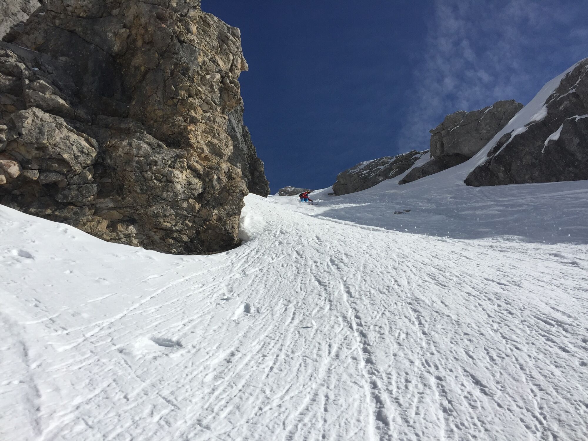
It is not for nothing that the Dachstein has been given the nickname "Austria's touring Eldorado".
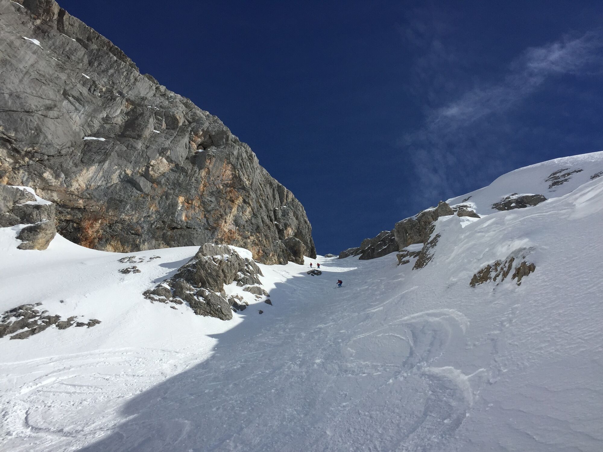
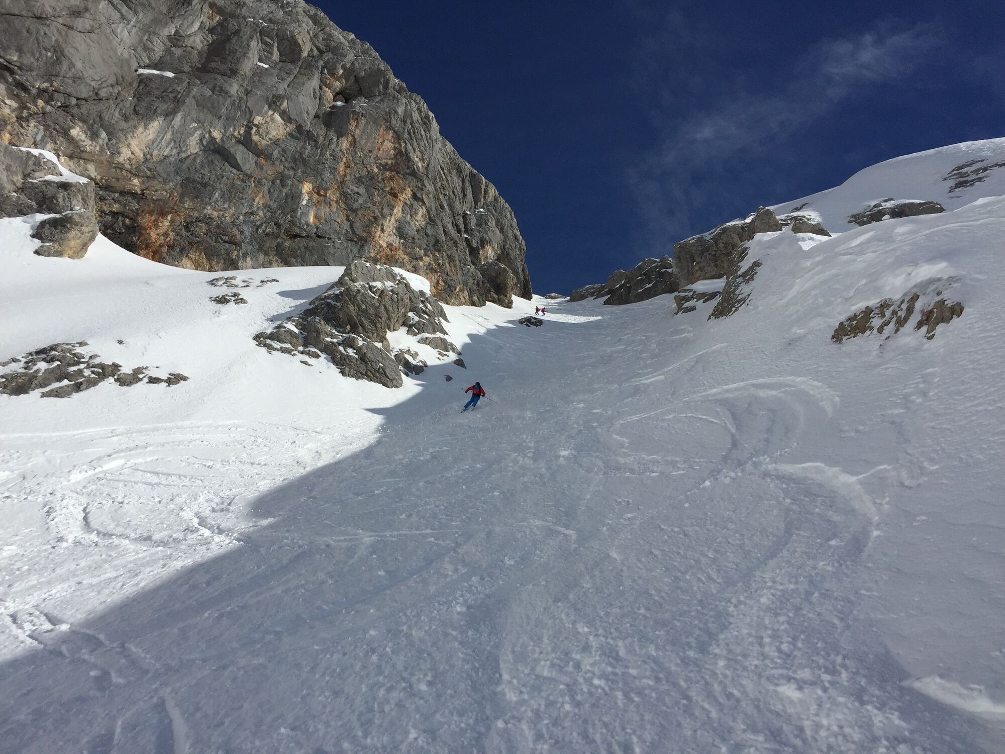
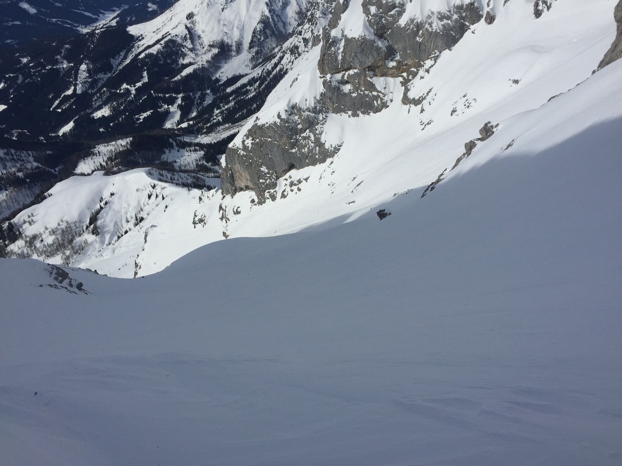
This high alpine freeride run is for all those who love it steep and crisp.
- Highest point
- 2,689 m
- Endpoint
-
Dachstein Gletscherbahn Talstation
- Height profile
-

- Safety instructions
-
Mountain guides and ski guides recommended. Only possible under best conditions. (LLB 1 or 2) Transition through the Rosmariestollen not always possible. For further information please contact the Dachstein Südwandbahn or the mountain and ski guides directly. For the alternative ascent via the Austriascharte, the use of ropes is recommended. Read the avalanche report at www.lawine-steiermark.at .
All information has been collected with great care. The use of this website is at your own risk and responsibility and therefore no liability for accidents or damages of any kind will be accepted.
Translated with www.DeepL.com/Translator (free version)
- Tips
-
Varied freeride tour:
Steep entrance a wide corridor thereafter
-
-
AuthorThe tour Schwadrinn (Schwadering) is used by outdooractive.com provided.
GPS Downloads


General info
Refreshment stop
A lot of view
Other tours in the regions