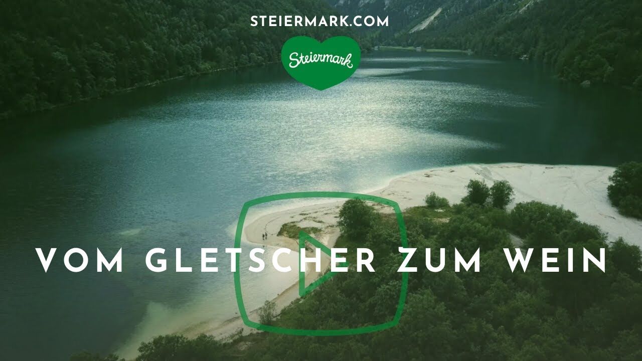
Stage 01 From Glacier to Wine South Route Dachstein Gondola - Guttenberghaus


- Brief description
-
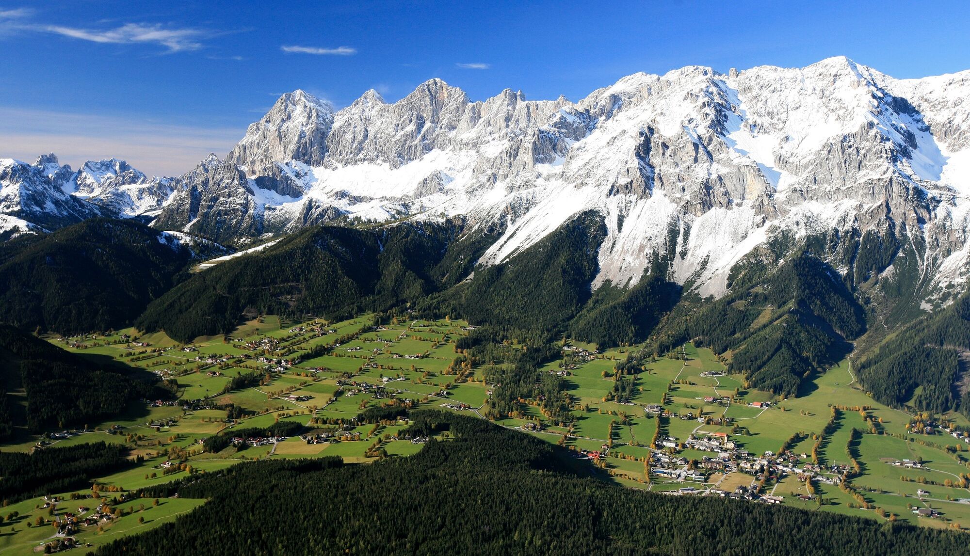
On this tour, you will cross two impressive landscapes that could not be more different from one another.
- Difficulty
-
medium
- Rating
-
- Starting point
-
Dachstein Mountain Station
- Route
-
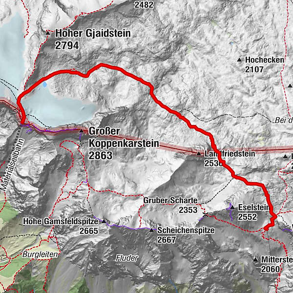
Dachstein glacier restaurant0.0 kmHunerkogel (2,687 m)0.0 kmFeisterscharte6.9 kmGuttenberghaus7.1 km
- Best season
-
JanFebMarAprMayJunJulAugSepOctNovDec
- Description
-
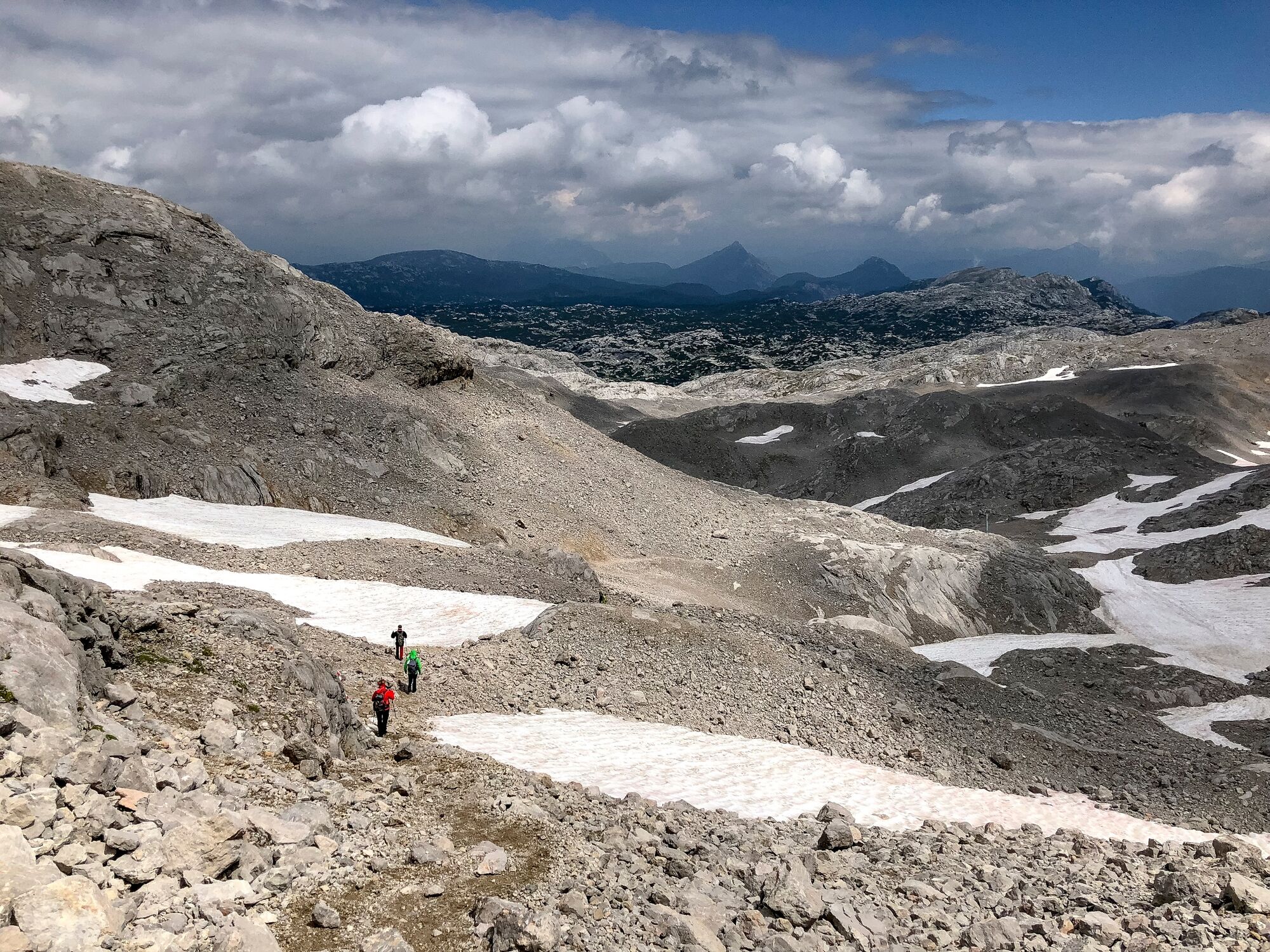
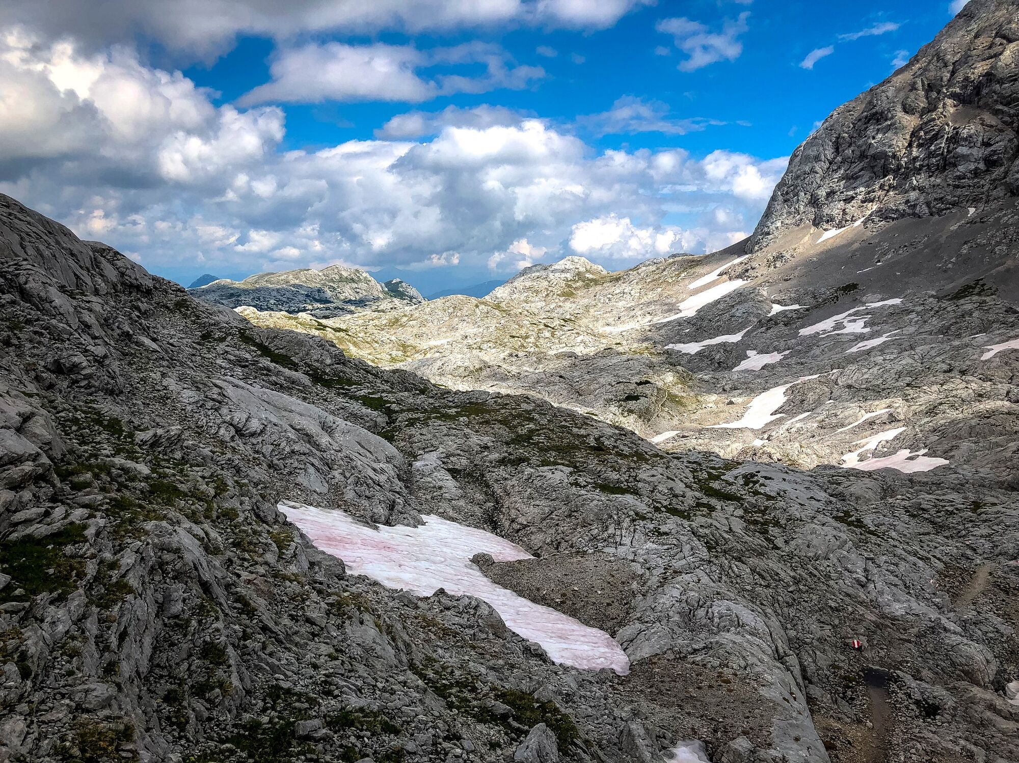
Firstly, you have to cross the Schladminger Gletscher (glacier) with a view of the 20 km² karst area ‘Am Stein’, walking through somewhat dull-looking rocky scenery only complemented by a couple of mountain pines and patches of grass. Yet, if you look closely, you will find interesting fossils and dolines in this rocky desert. Between the sharp incised surface and the dolines, new flora and fauna emerge under the freshly melt snow: alpine roses, gentians, nigritellas and anemones.
- Directions
-
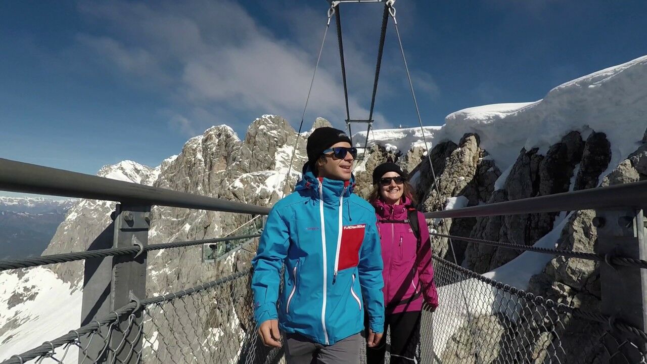
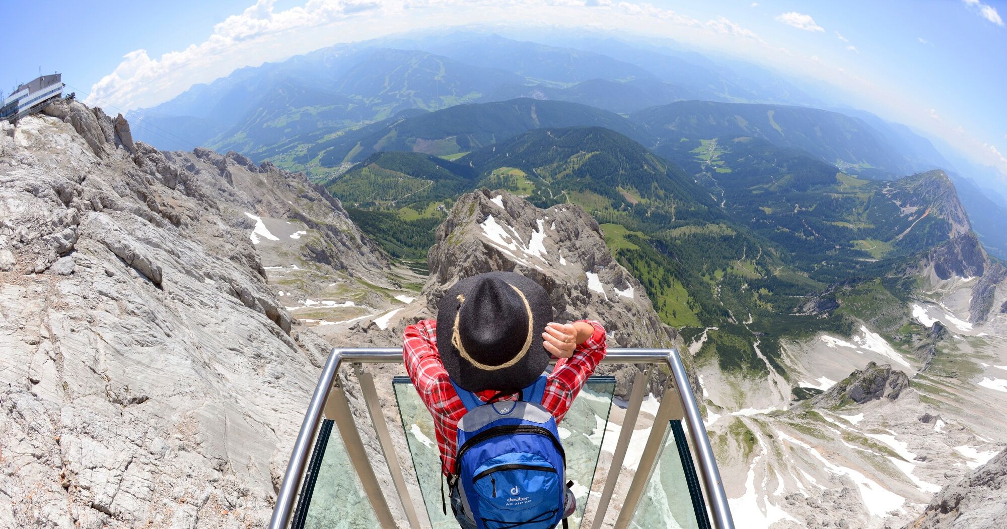
After taking the Dachstein Gondola up to the mountain station, you will have some time to enjoy the views from the ‘Sky Walk’ and the suspension bridge. Your views reach from the Großglockner across the Karawanken to the Styrian-Slovenian mountain range in the south and, the wine regions in the east.
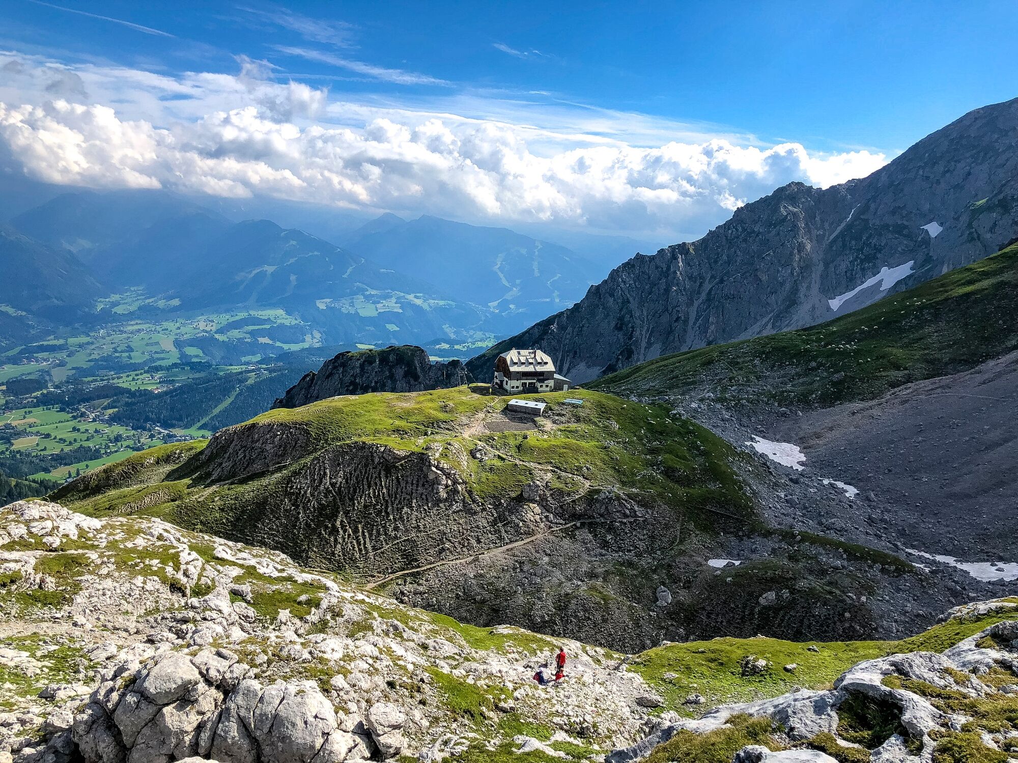
Follow the path to Guttenberghaus, towards Gjaidstein and stay to the left of the drag lift. You can use the snow poles, the coloured marking on the rocks and, the cairns for your orientation. To your right are the steep rock walls of the Koppenkarstein, to your left the Gjaidstein and far back on the horizon lies the gorgeous mountain range of the Totes Gebirge and the Grimming.
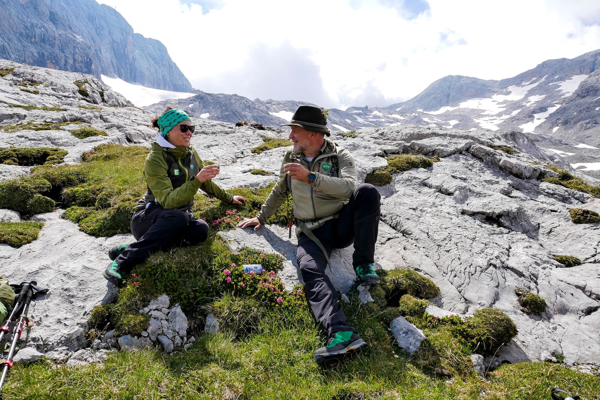
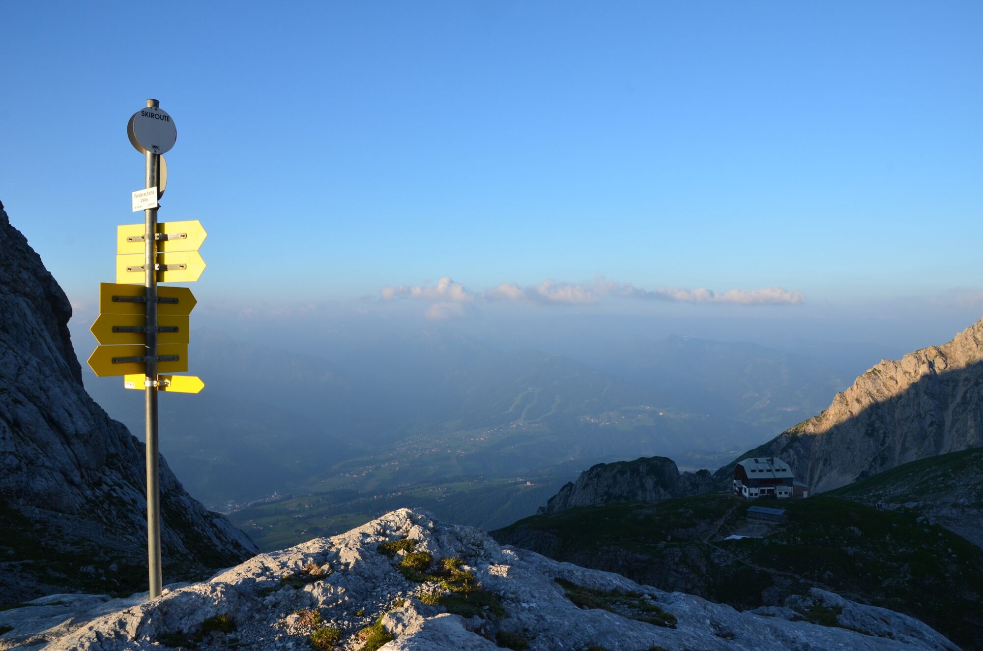
Passing the summit of the Landfriedstein and Eselstein, you will reach the Feistererscharte, where 2 paths will cross. Path no. 616 leads across high-alpine terrain Am Stein to the Krippenstein in the north of Dachstein’s plateau and, the path no. 616 to the already visible Guttenberghaus (Tel. +43 664 3022956) with its alpine pastures and meadows, 1000 m below the hut. You can look forward to good Styrian cuisine and beautiful views of the Schladminger Tauern.
Now you have to decide which direction you will take on stage 2: Stage 2 – North Route or Stage 2 – South Route?
Be careful: Do not combine Stage 1 and 2 on one day. The total length of 20 km may be misleading as the windy and rocky terrain with its ascents and descents make this path too strenuous to complete on a single day!
- Highest point
- 2,676 m
- Endpoint
-
Guttenberghaus
- Height profile
-

- Equipment
-
Proper backpack packing makes many things easier: Pack heavy things first. The water bottle should always be within reach in a side pocket. All the things that are often needed, such as sunglasses, camera or hiking map, belong on top. An emergency kit, including blister plasters, belongs in every rucksack and it is always advisable to dress in layers.
- Safety instructions
-
You can only do this walk in good weather conditions!
- Tips
-
Beware: in summer, you need to make a reservation for the Dachstein Gondola here.
- Additional information
- Directions
-
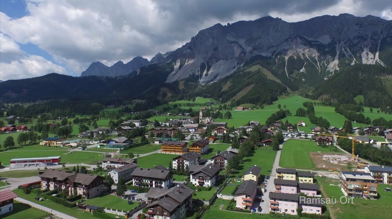
Take the bus from Ramsau Ort to the Dachstein Gondola bottom station.
- Public transportation
- Parking
-
Congress Centre Ramsau am Dachstein


-

-
AuthorThe tour Stage 01 From Glacier to Wine South Route Dachstein Gondola - Guttenberghaus is used by outdooractive.com provided.


General info
-
Schladming - Dachstein
3001
-
Ramsau am Dachstein
1689
-
Dachstein Gletscher
527