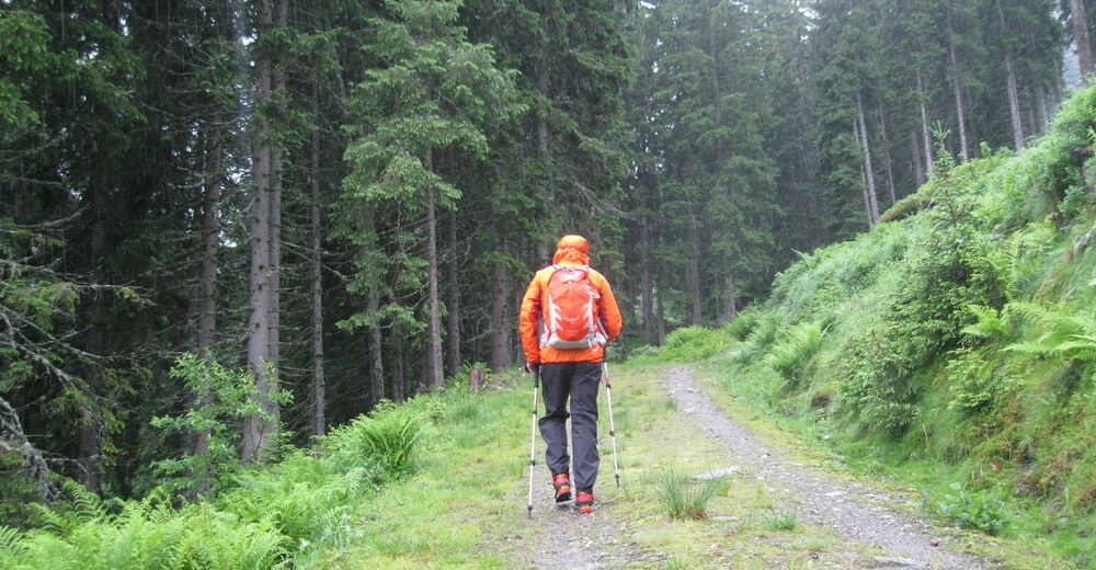
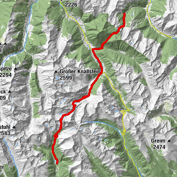
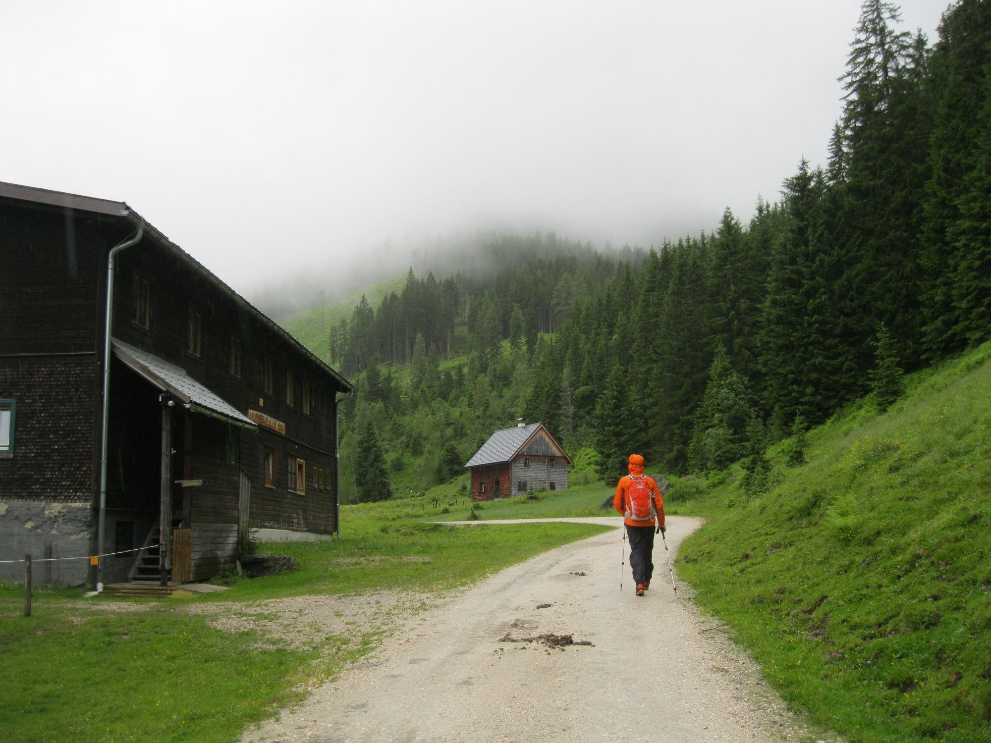
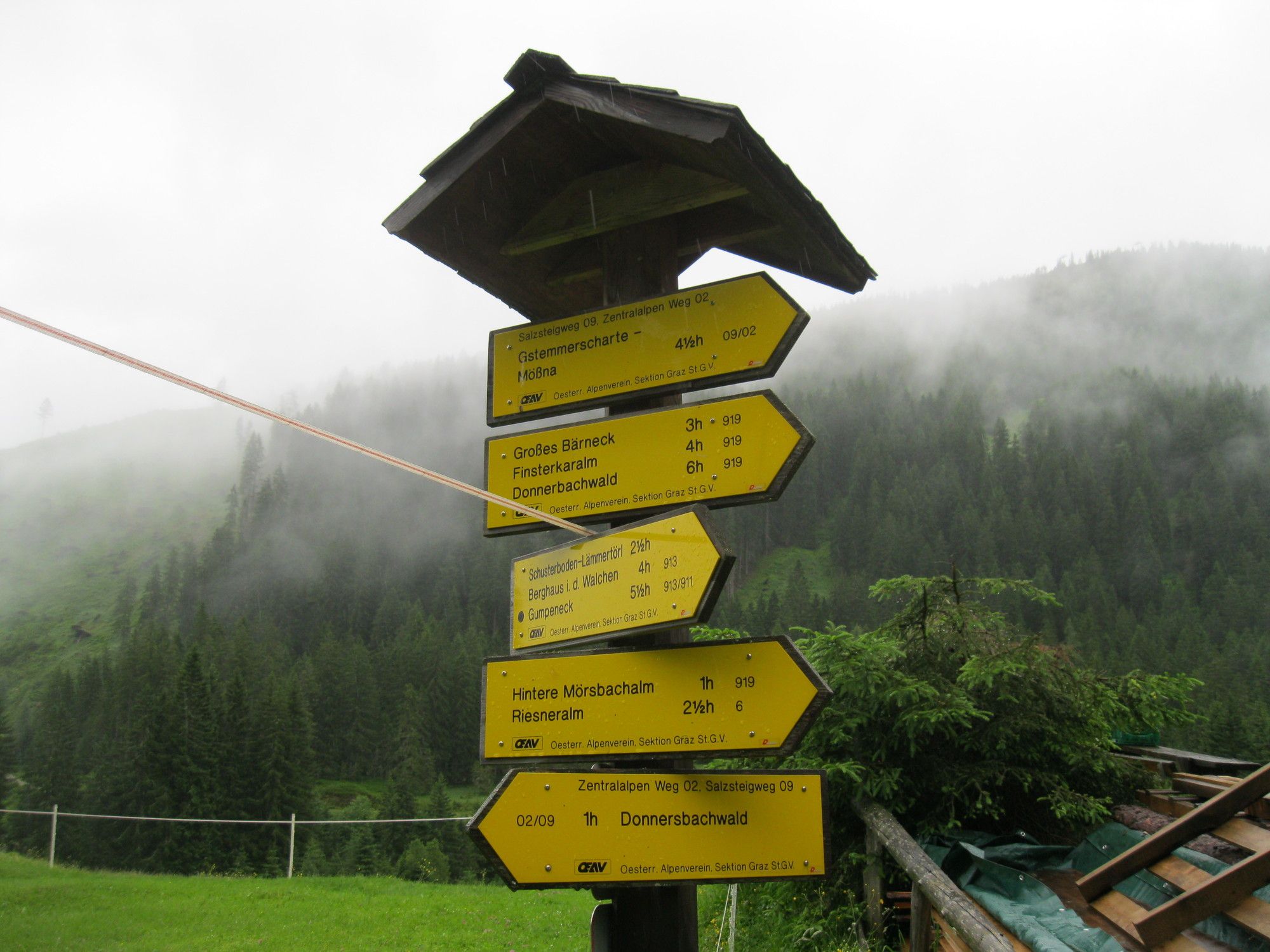
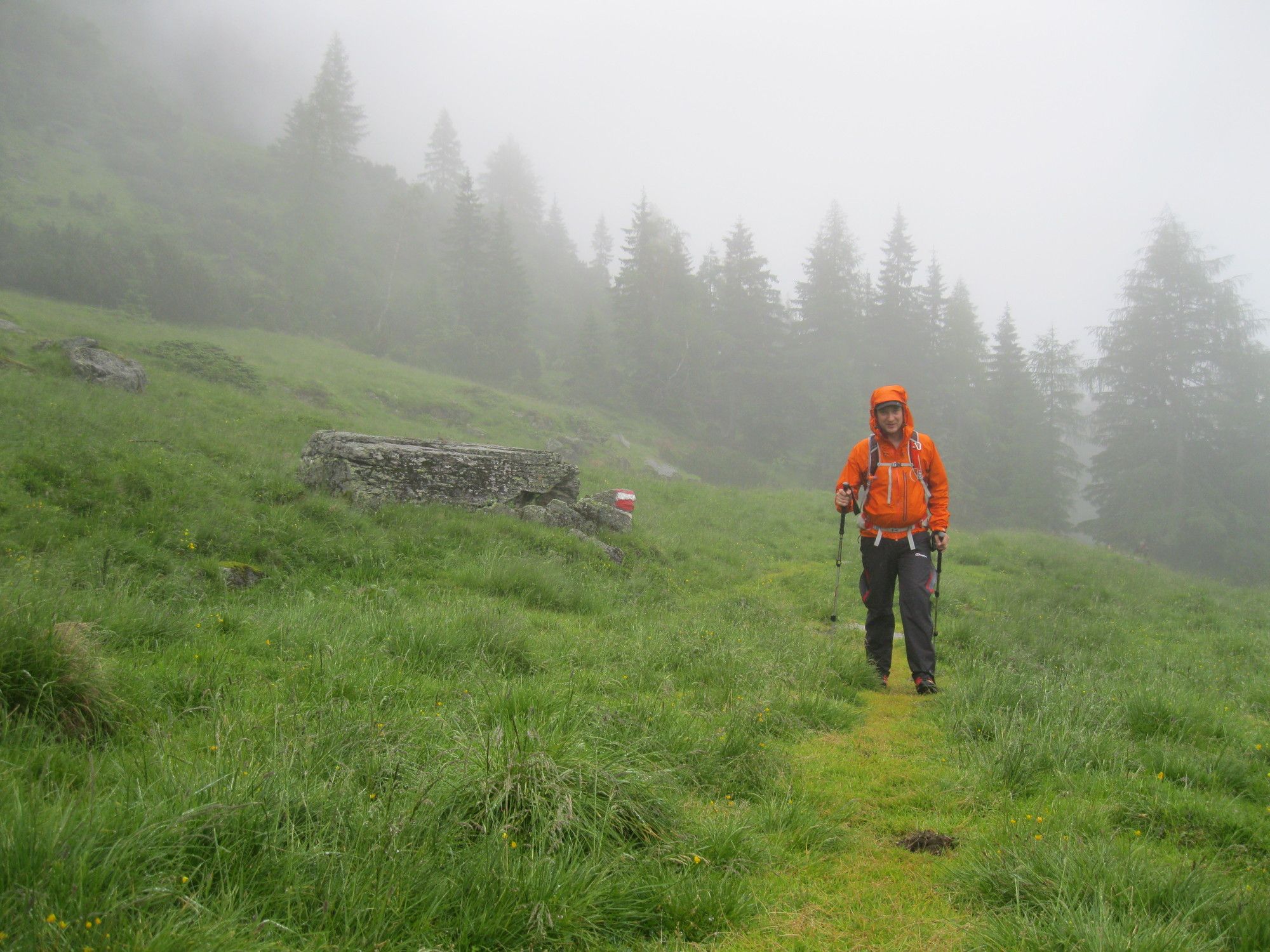
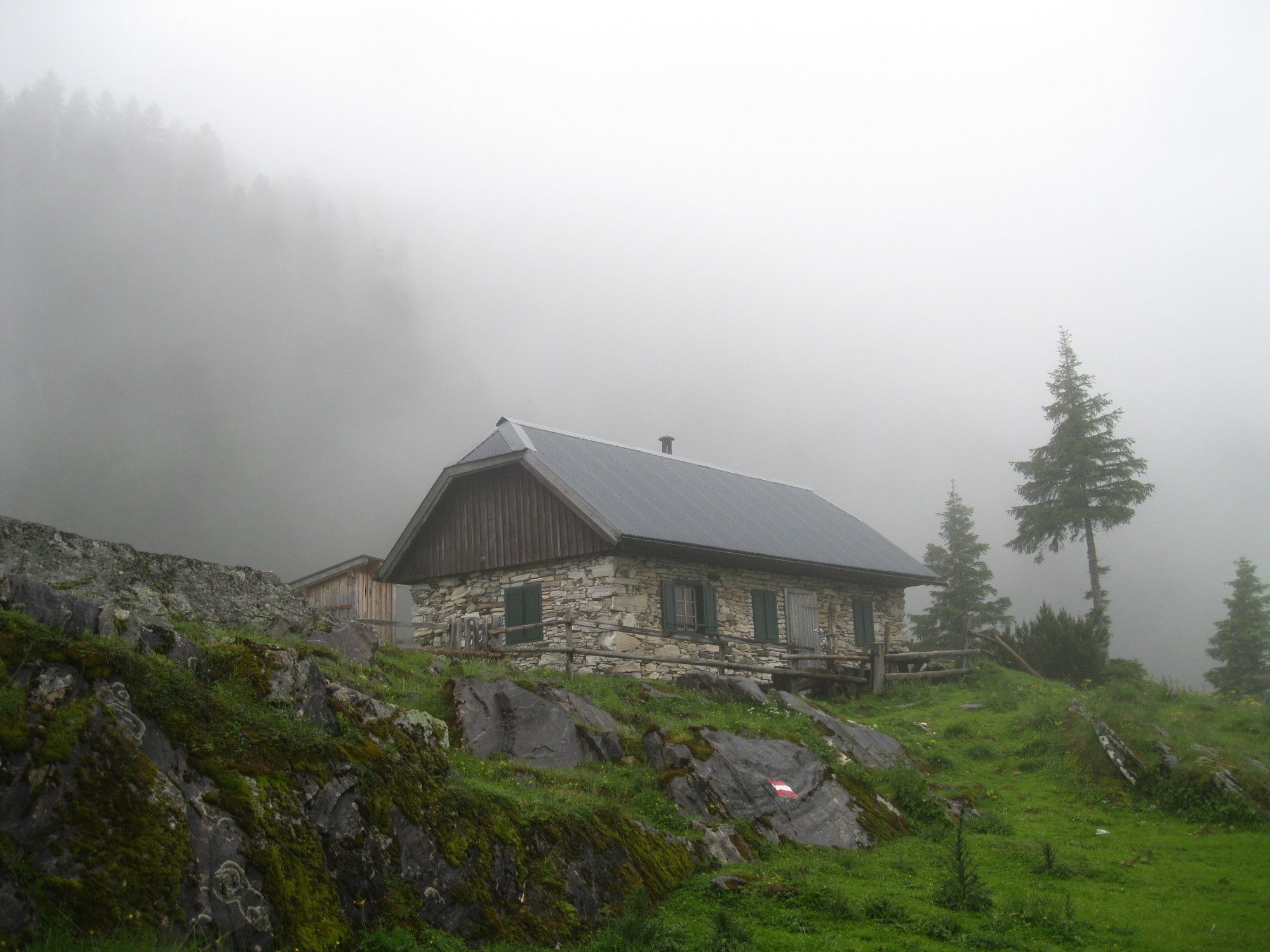
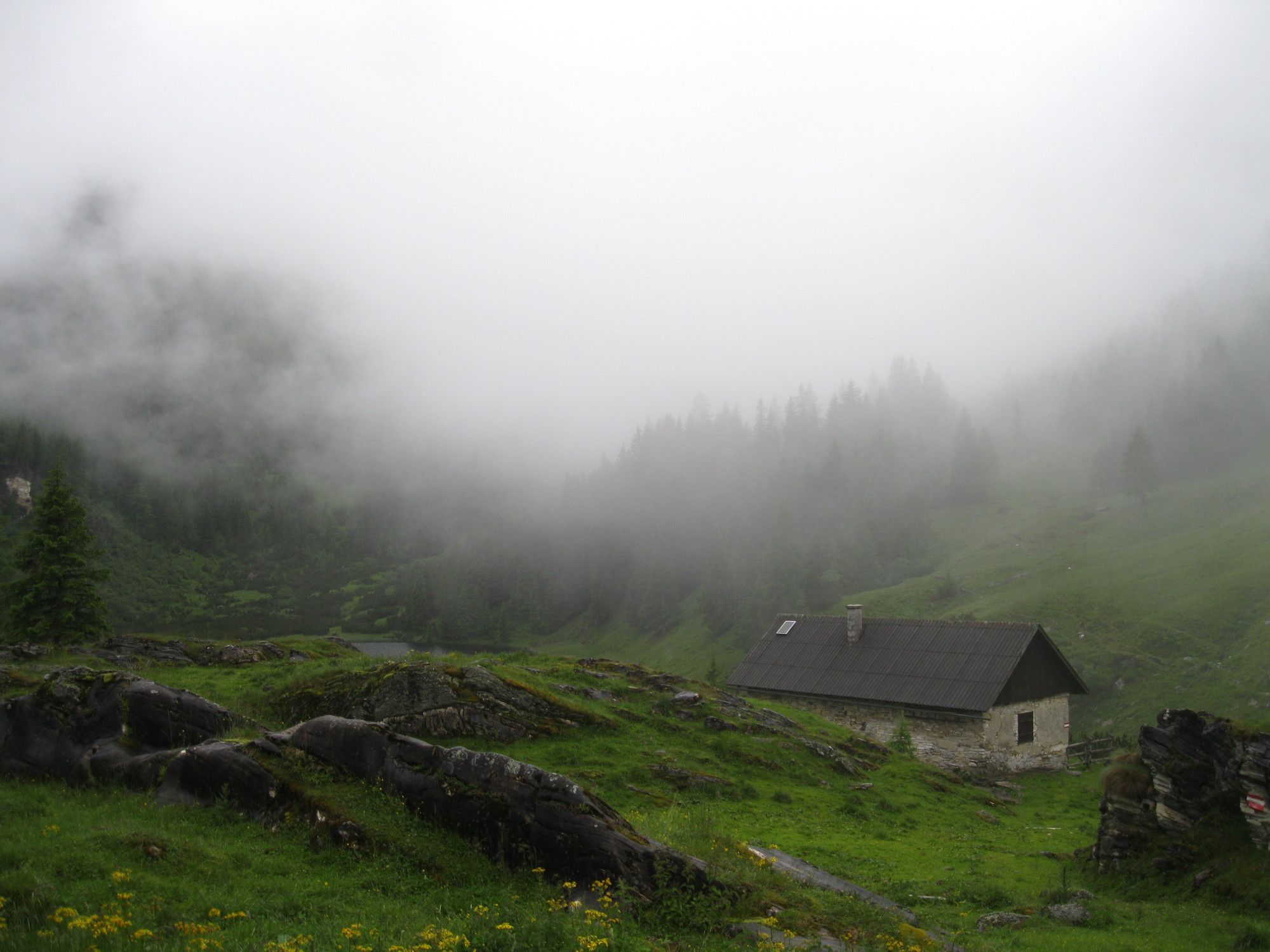
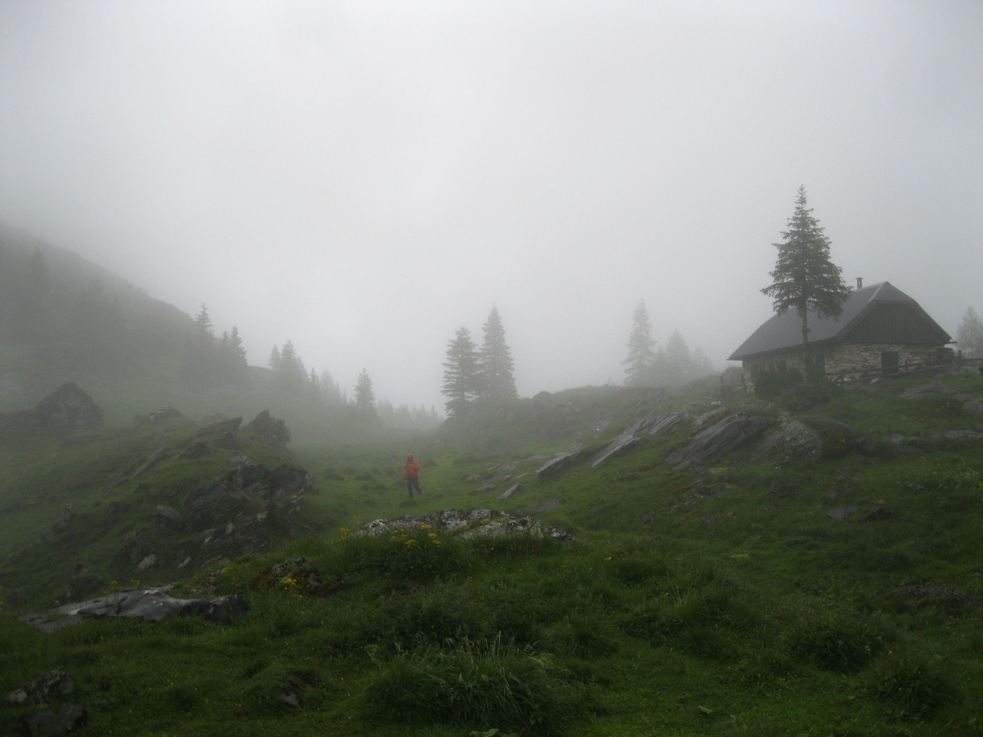
02 Zentralalpenweg, Tag 18: Mörsbachhütte - Etrachsee

long-distance walking trail

© gert gasperin
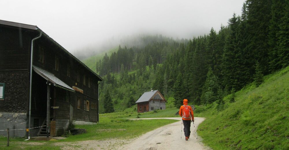
© gert gasperin
© gert gasperin
© gert gasperin
© gert gasperin
© gert gasperin
© gert gasperin
© gert gasperin
© gert gasperin
© gert gasperin
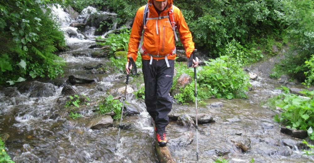
Tour data
27.08km
1,022
- 2,257m
1,857hm
1,780hm
12:00h
- Difficulty
-
medium
- Rating
-
- Route
-
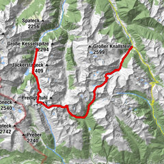
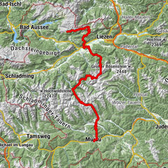
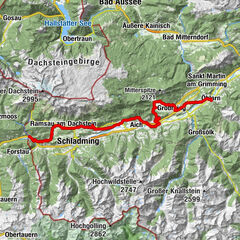
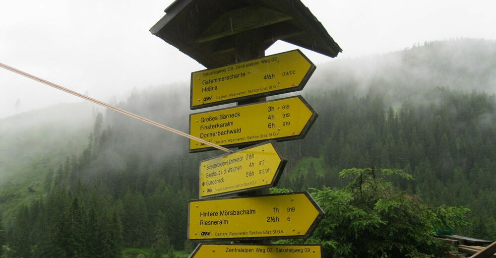
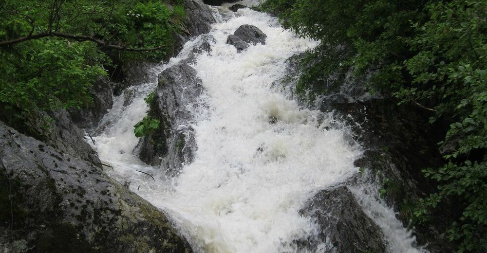
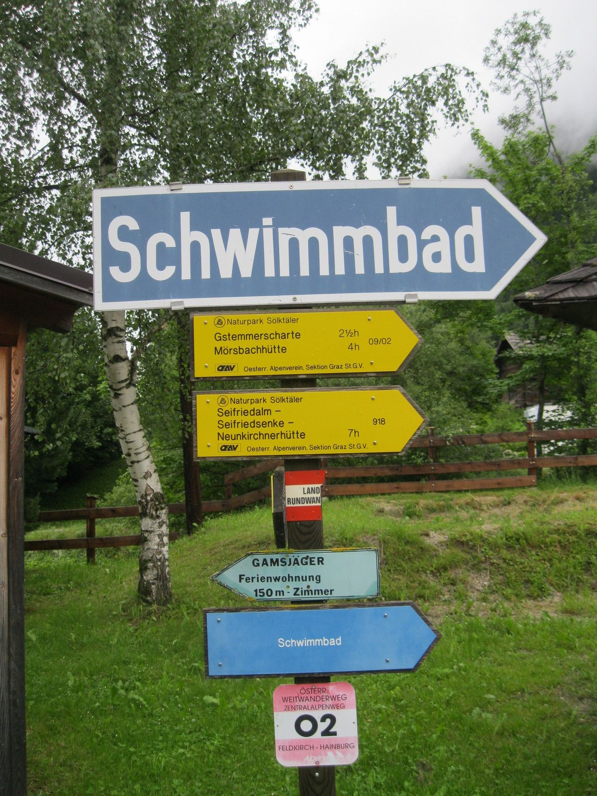
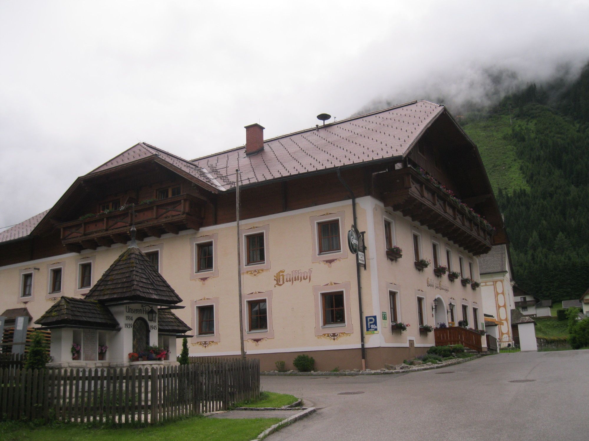
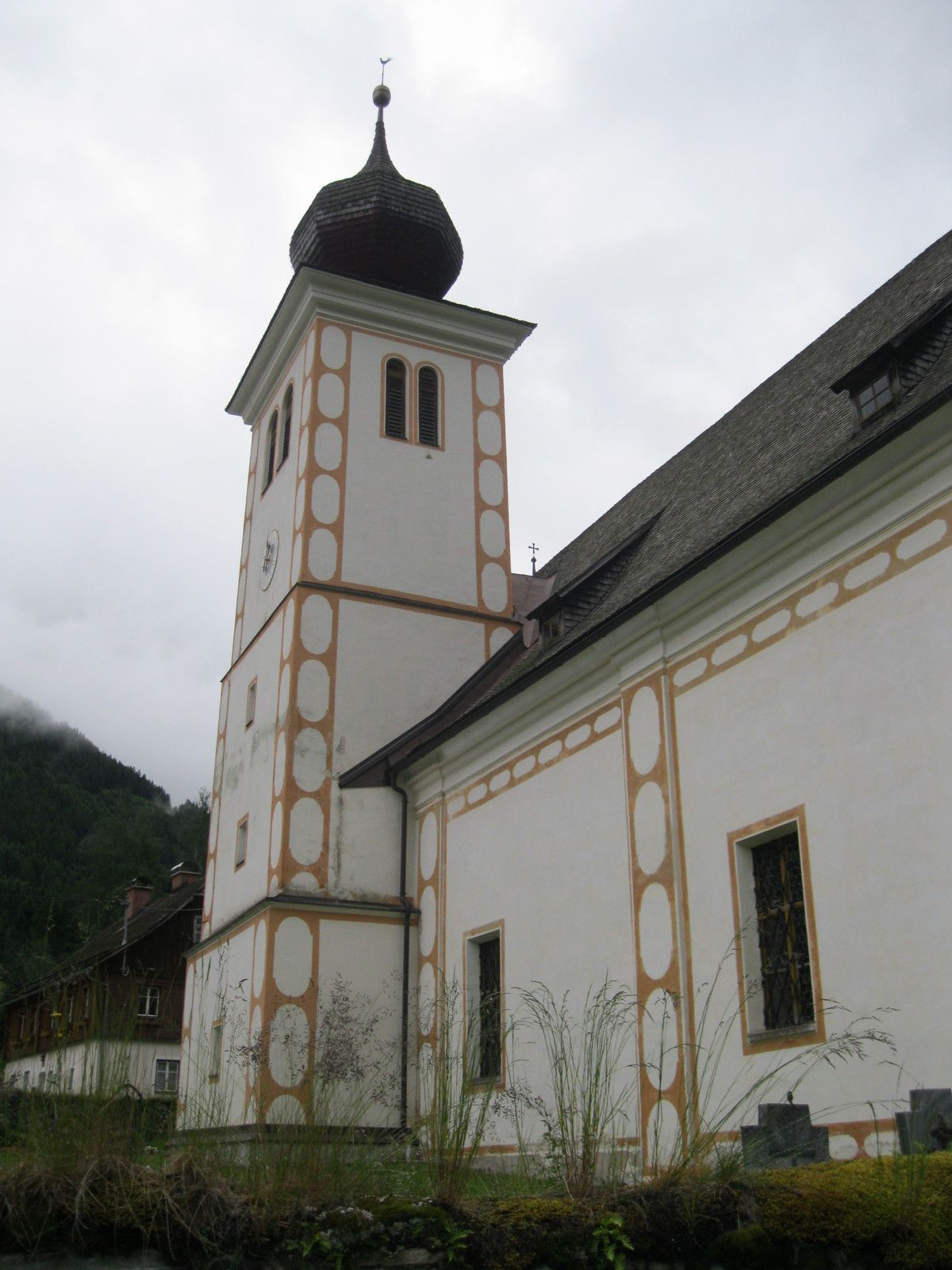
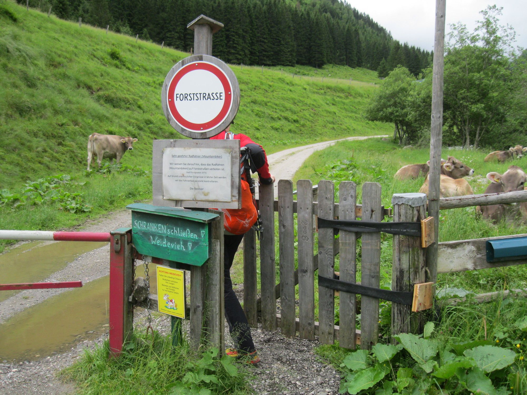
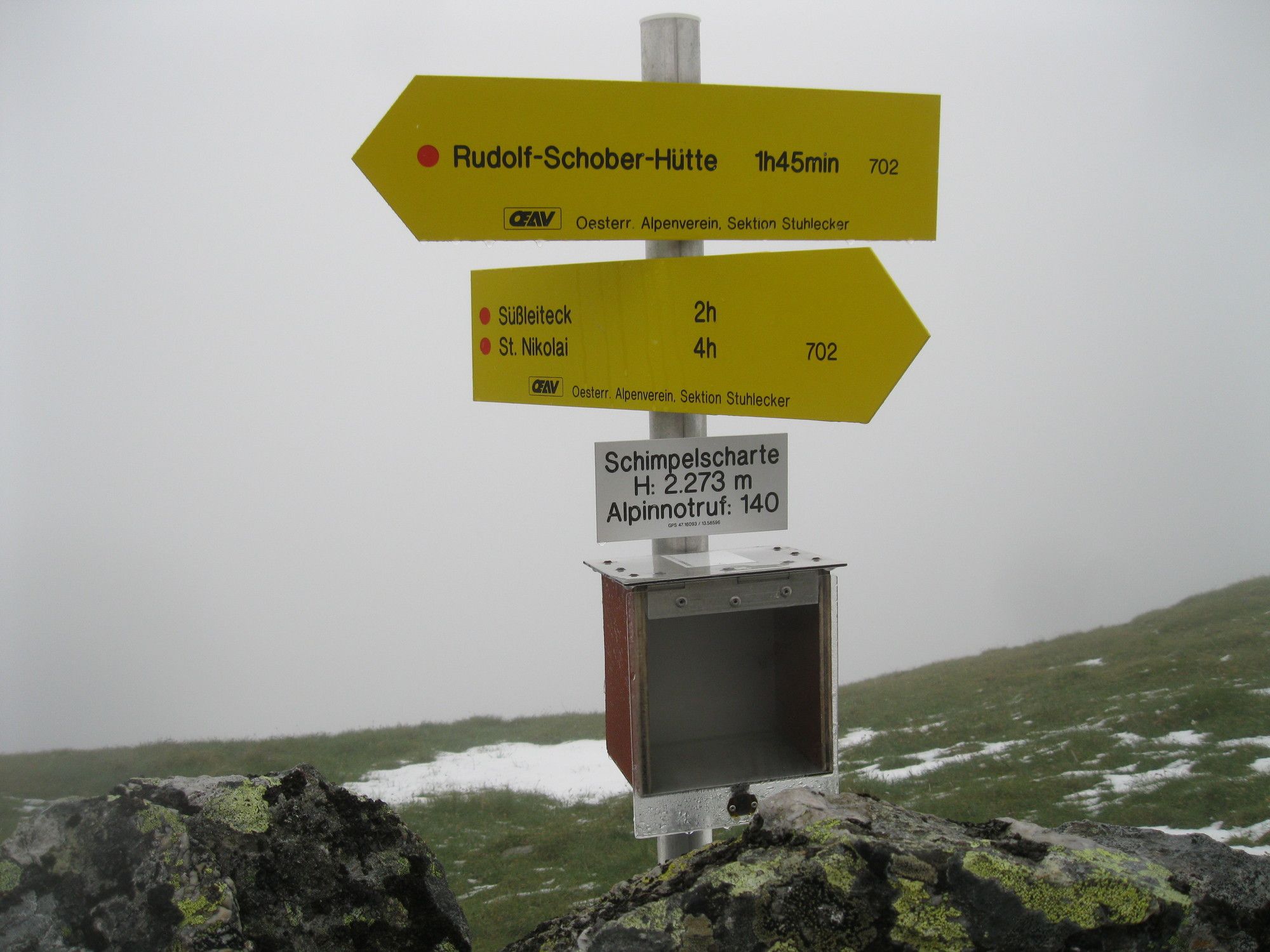
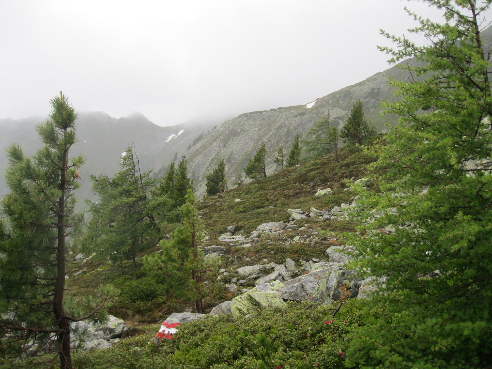
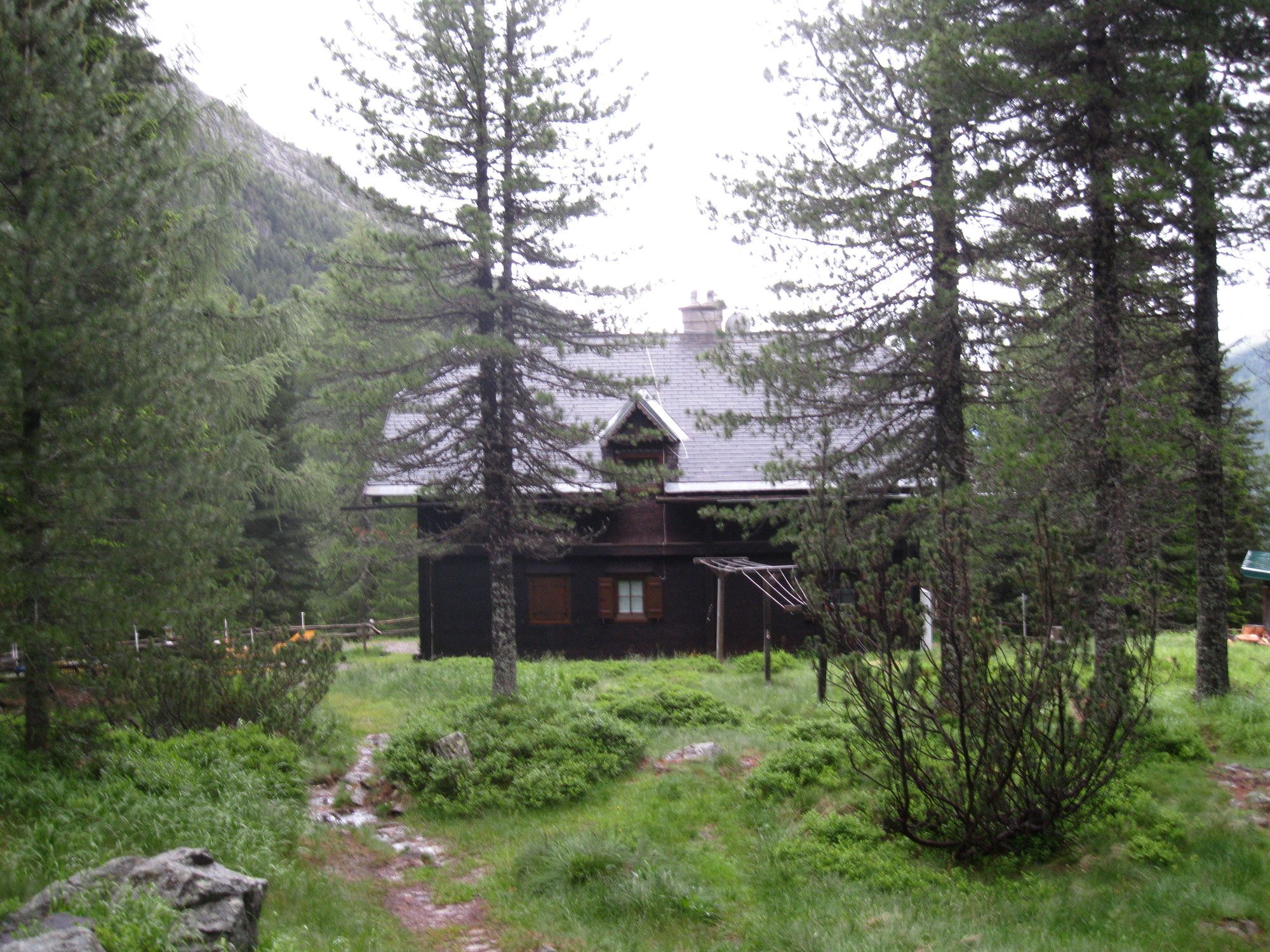
MörsbachalmGstemmerscharte (1,886 m)2.8 kmMößna7.6 kmSankt Nikolai im Sölktal10.6 kmZum Gamsjäger10.7 kmPfarrkirche hl. Nikolaus10.7 kmDürrmoos Wasserfall14.5 kmSchimpelscharte (2,273 m)20.7 kmRudolf-Schober-Hütte23.0 kmForellenstation Etrachsee26.9 km
- Best season
-
JanFebMarAprMayJunJulAugSepOctNovDec
- Highest point
- 2,257 m


GPS Downloads


Trail conditions
Asphalt
Gravel
Meadow
Forest
Rock
Exposed
Other tours in the regions