02 Zentralalpenweg, Tag 13: Ghf Gleinalm - Knittelfeld

long-distance walking trail

© gert gasperin

© gert gasperin

© gert gasperin

© gert gasperin

© gert gasperin

© gert gasperin

© gert gasperin

© gert gasperin

© gert gasperin

© gert gasperin
Tour data
24.09km
793
- 1,829m
817hm
1,604hm
10:00h
- Brief description
-
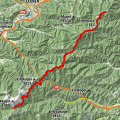
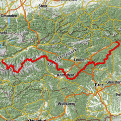
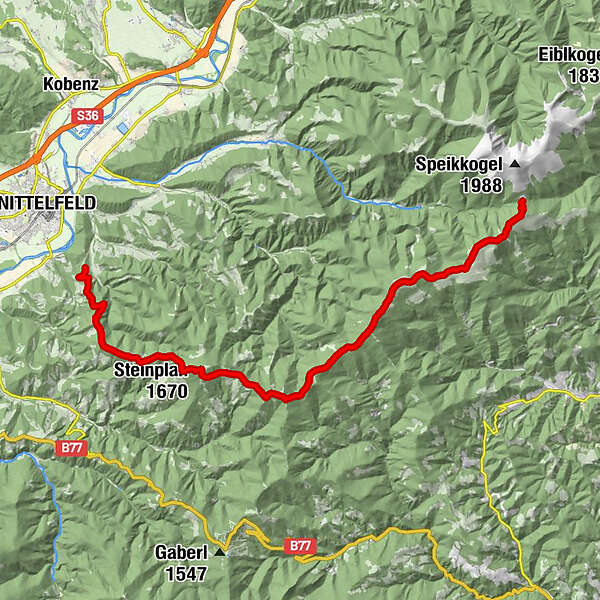
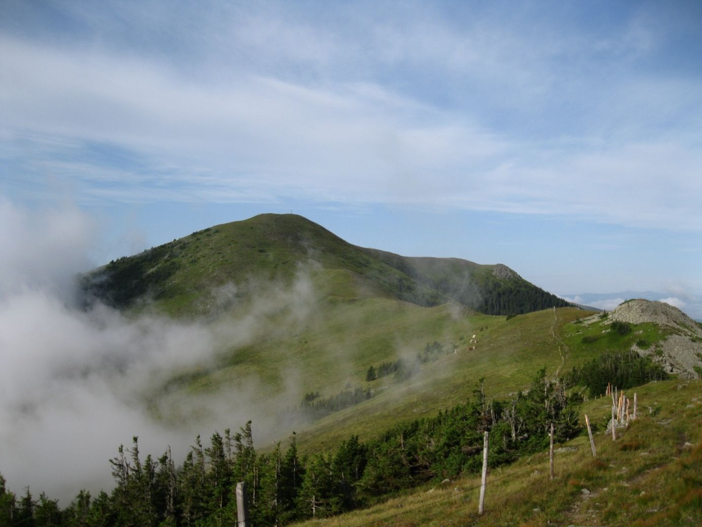
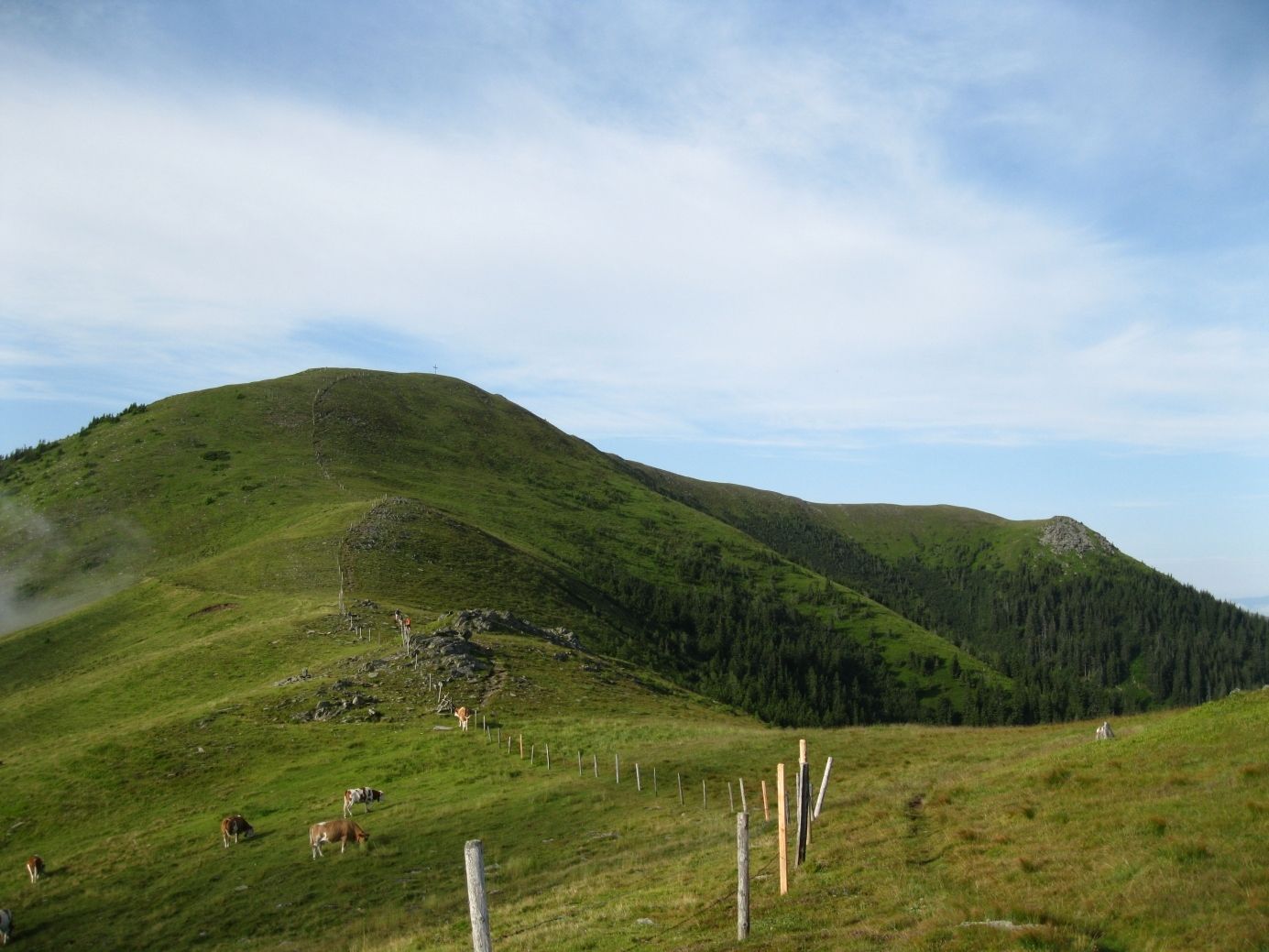
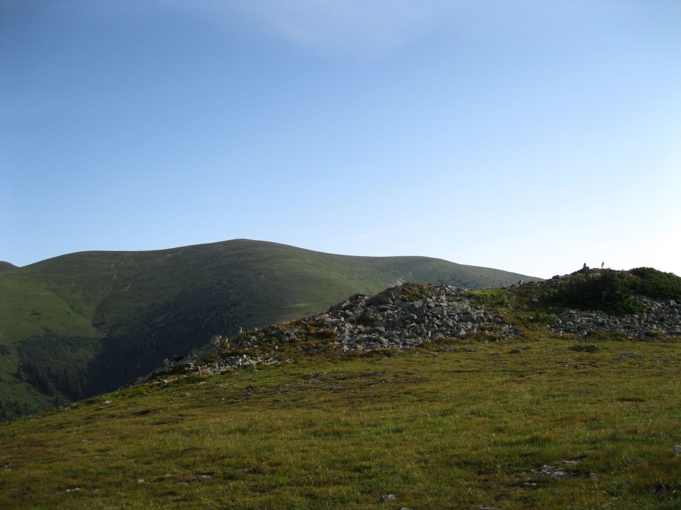
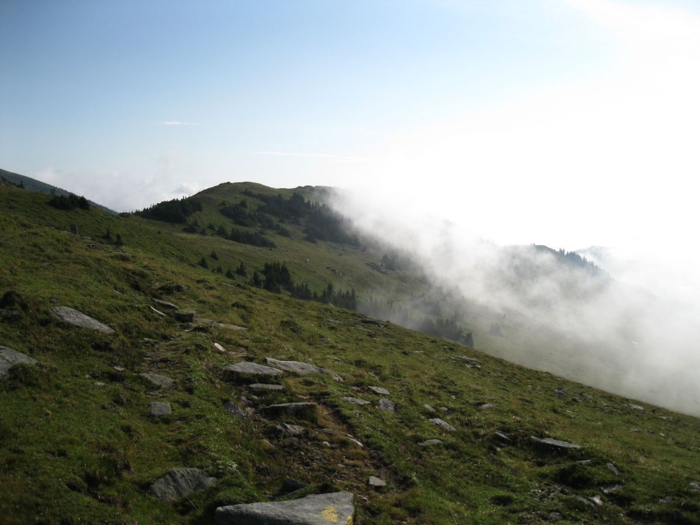
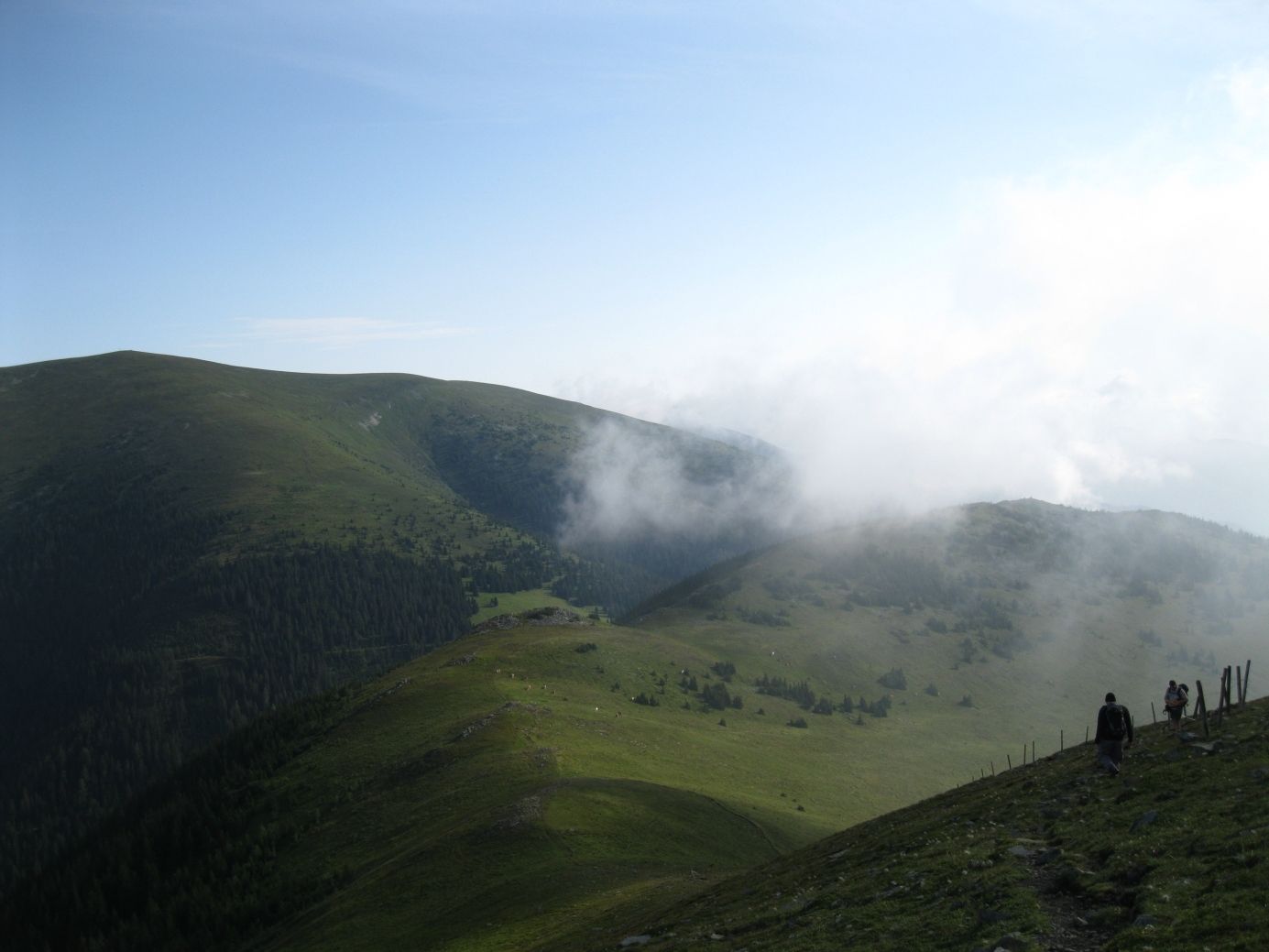
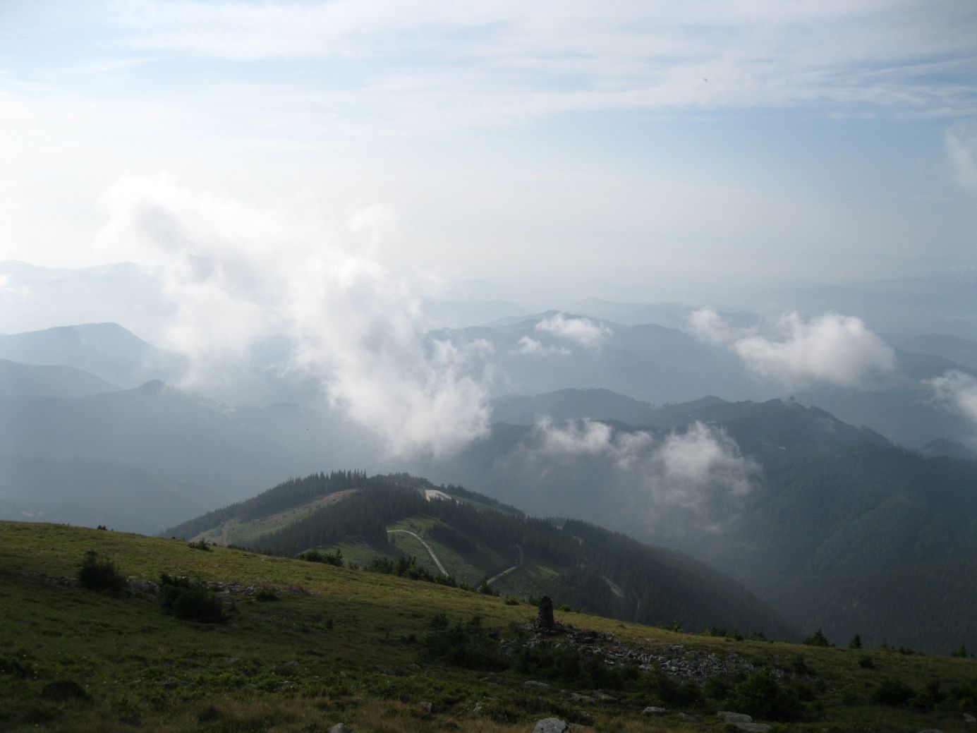
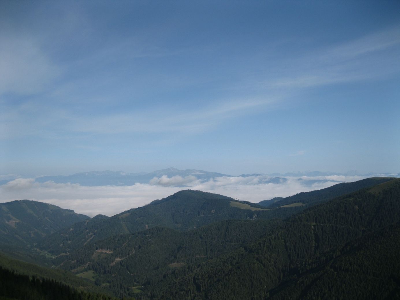
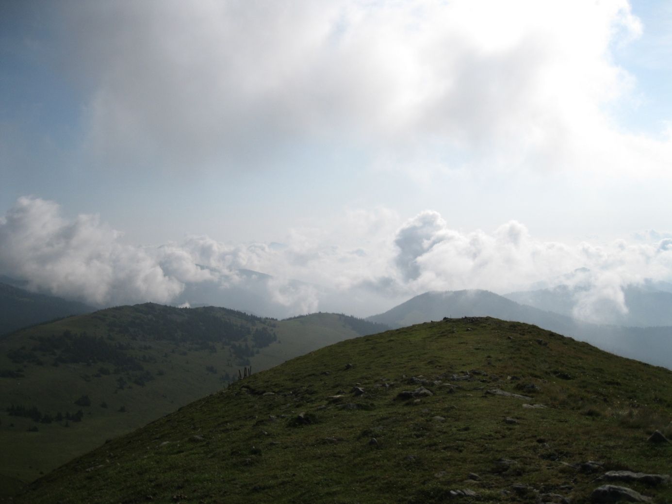
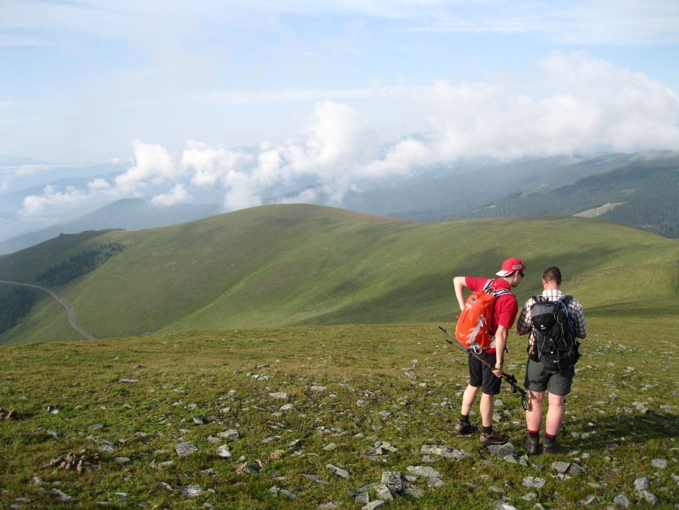
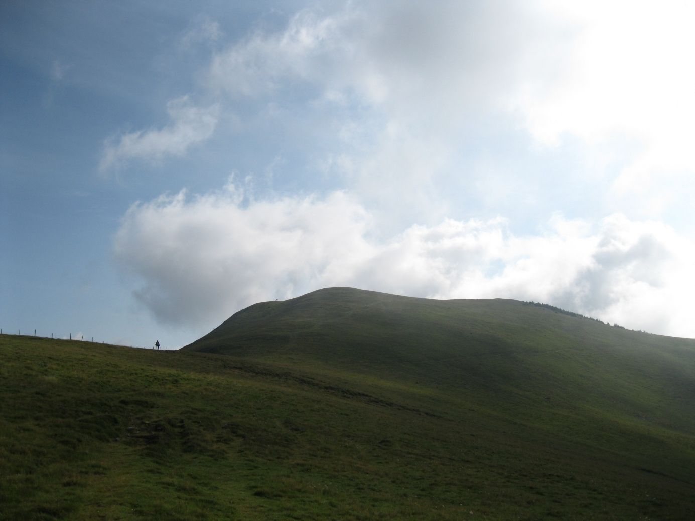
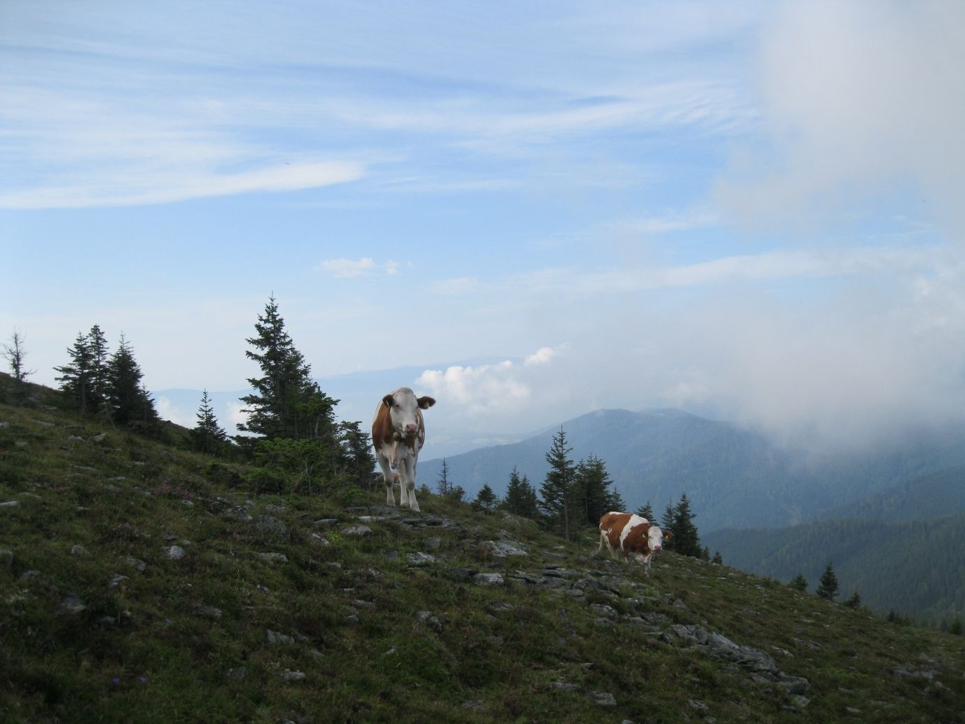
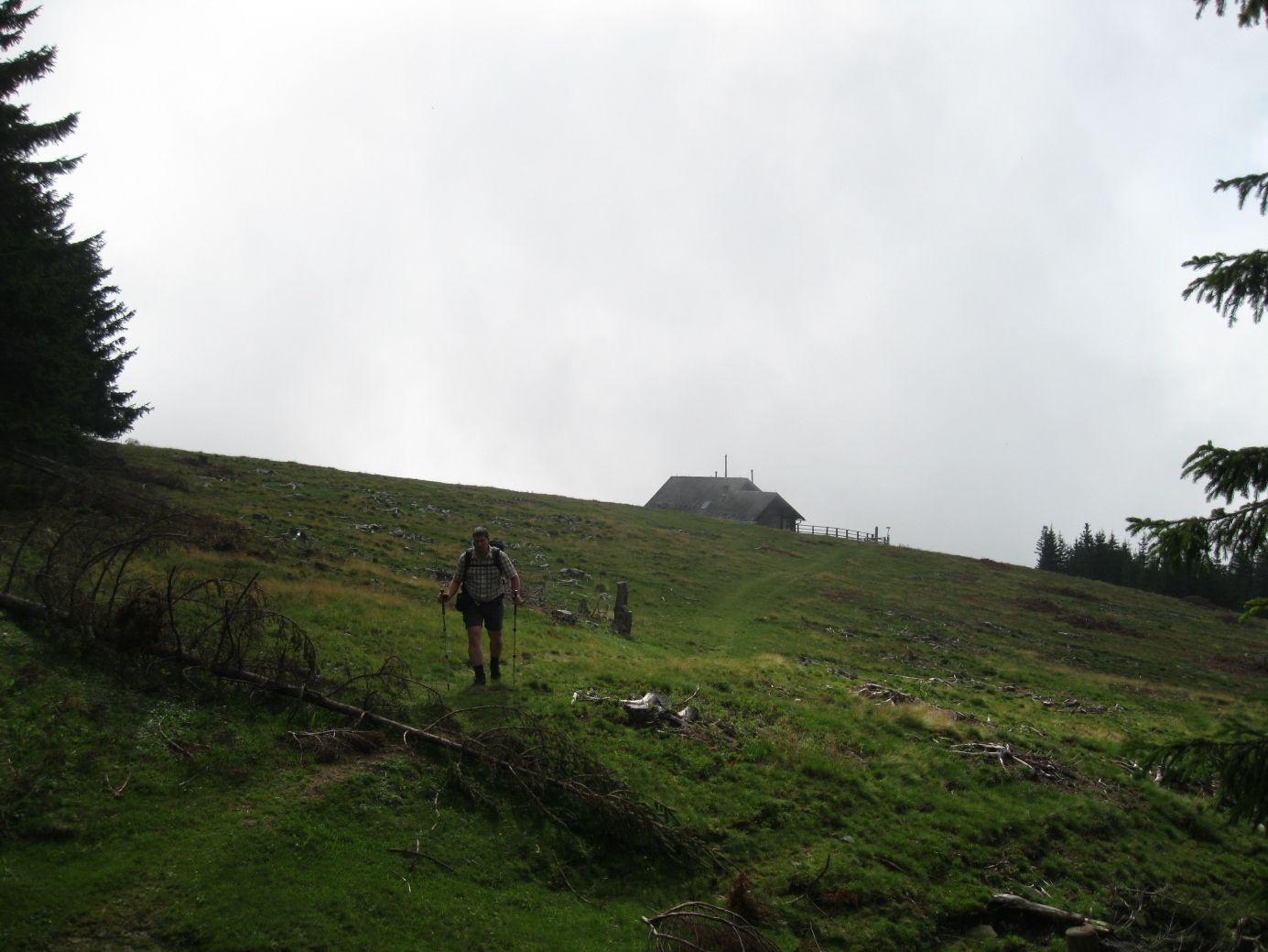
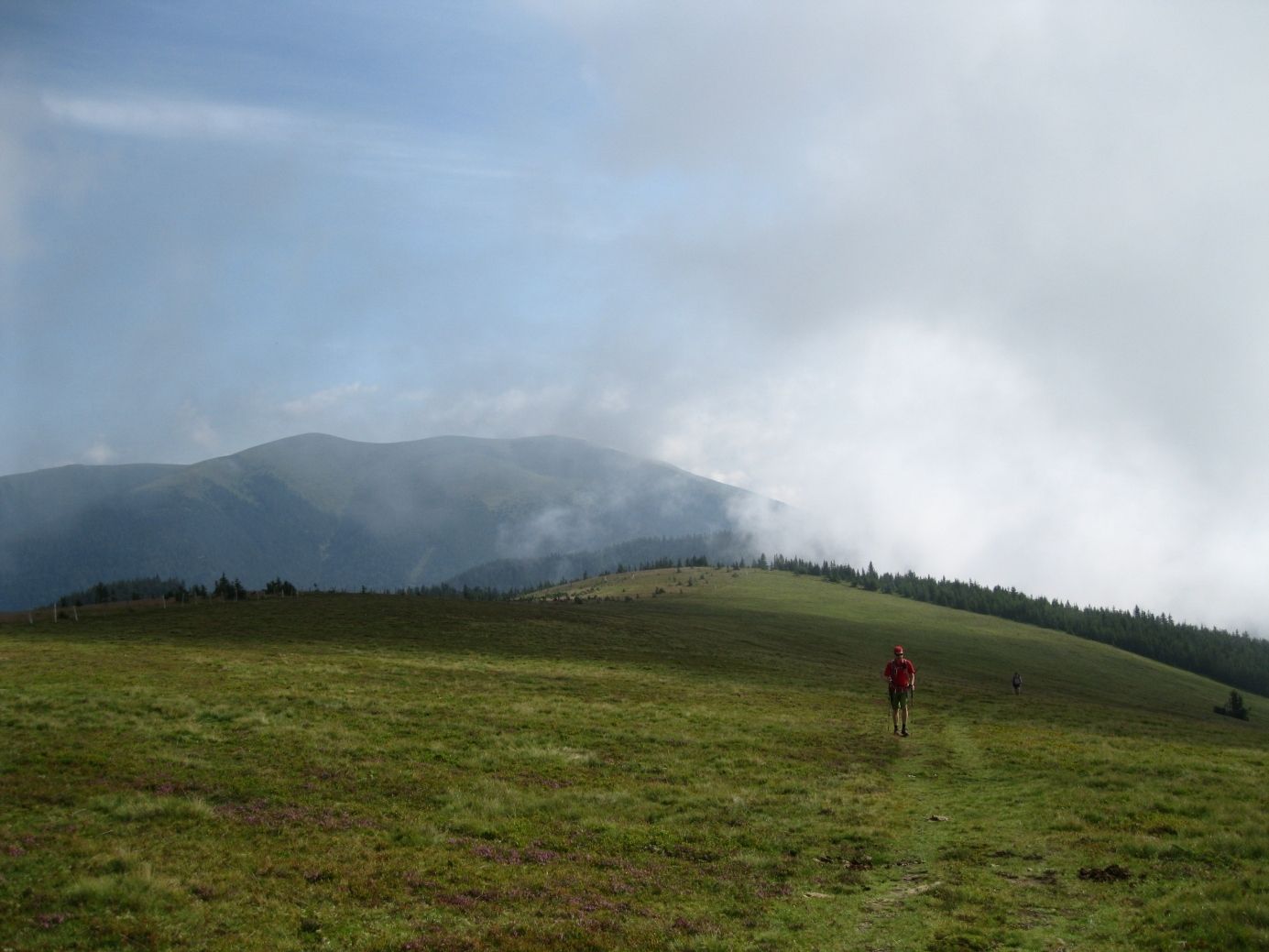
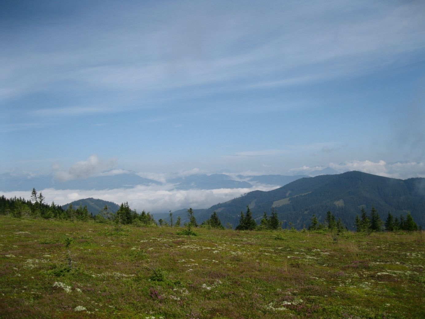
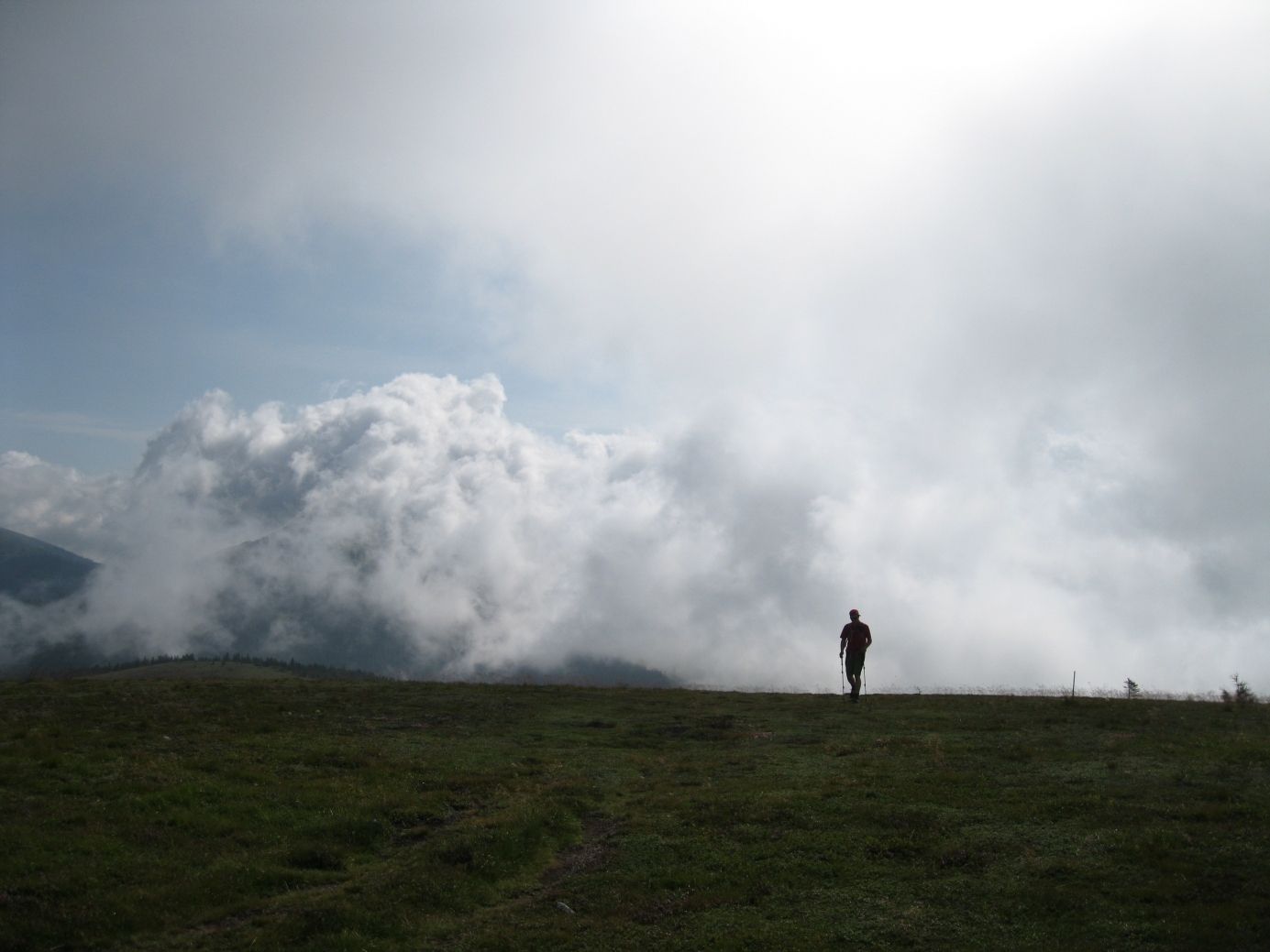
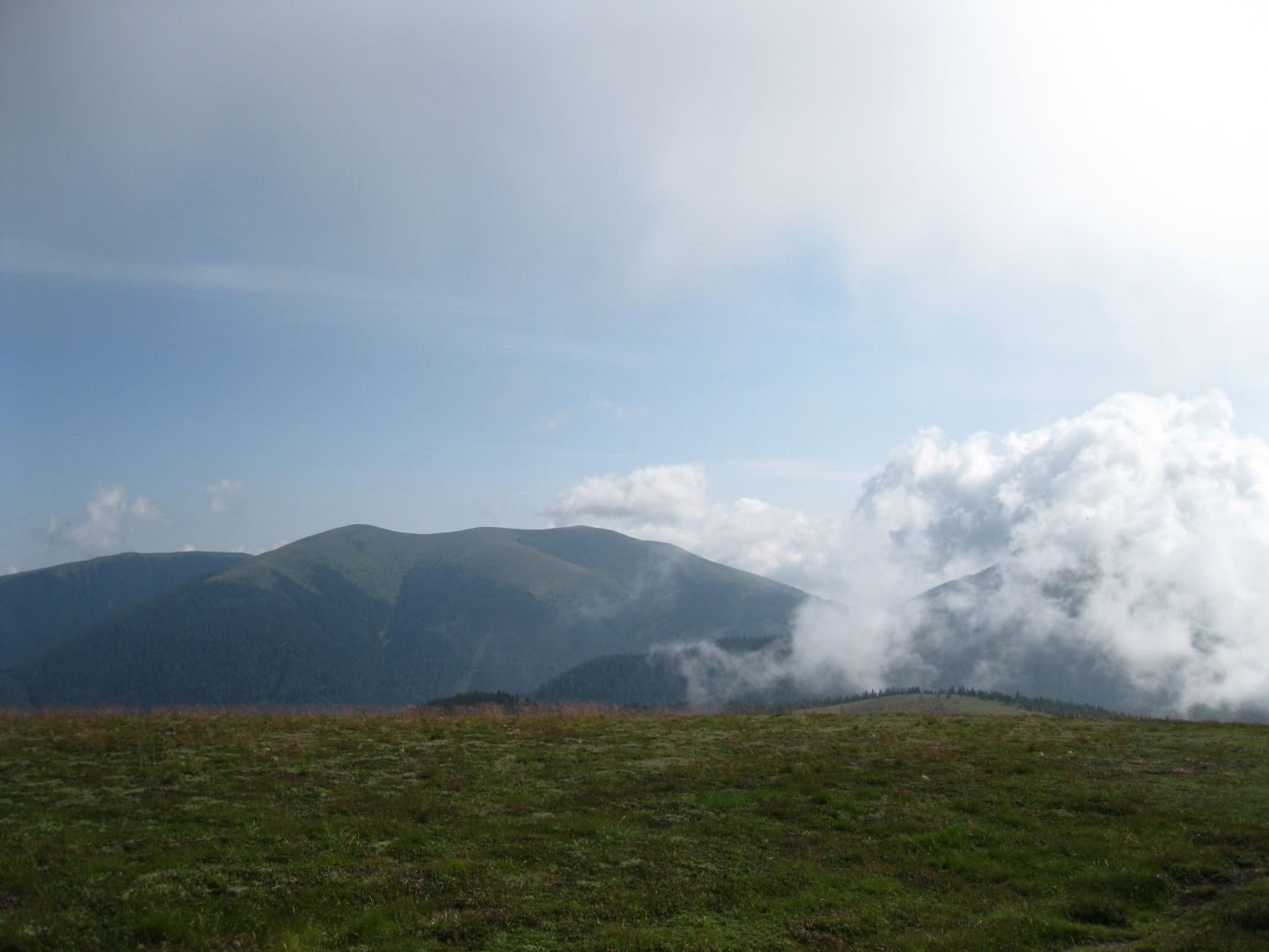
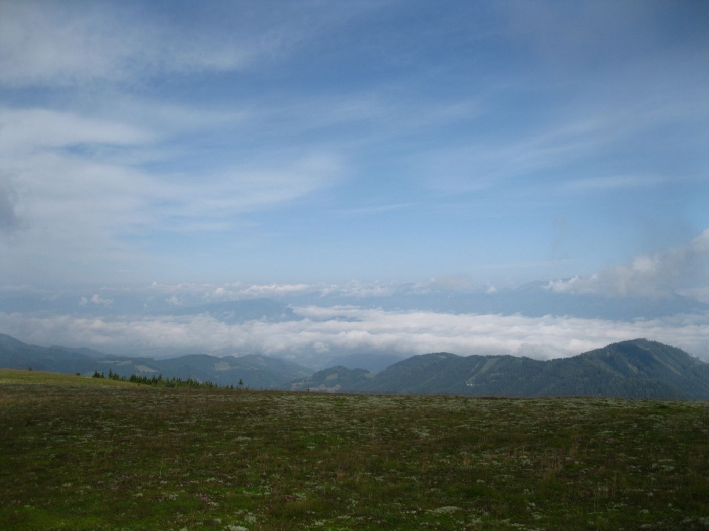
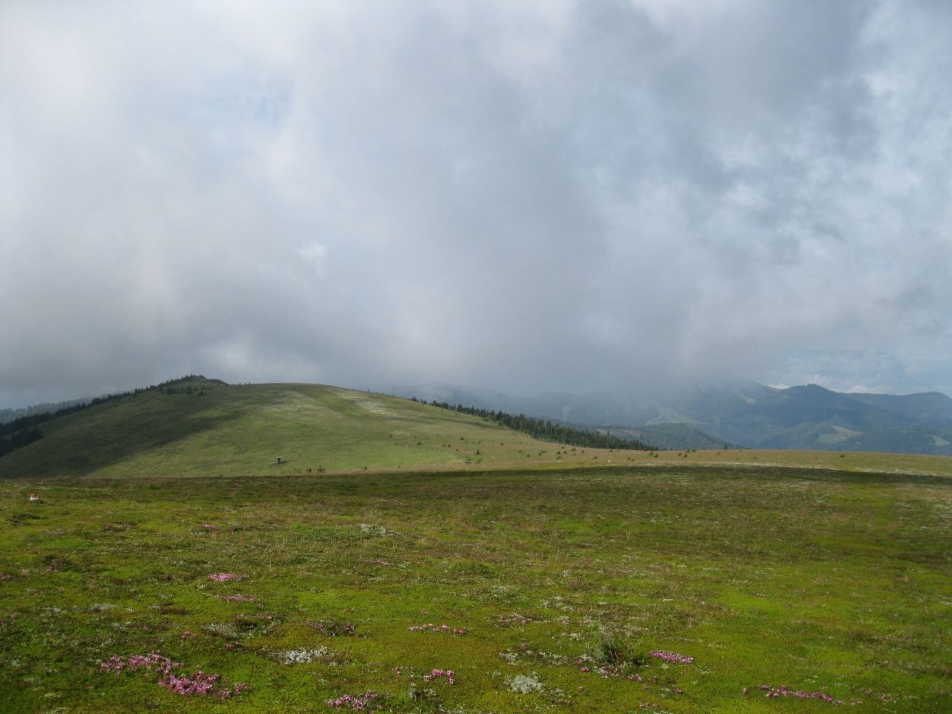
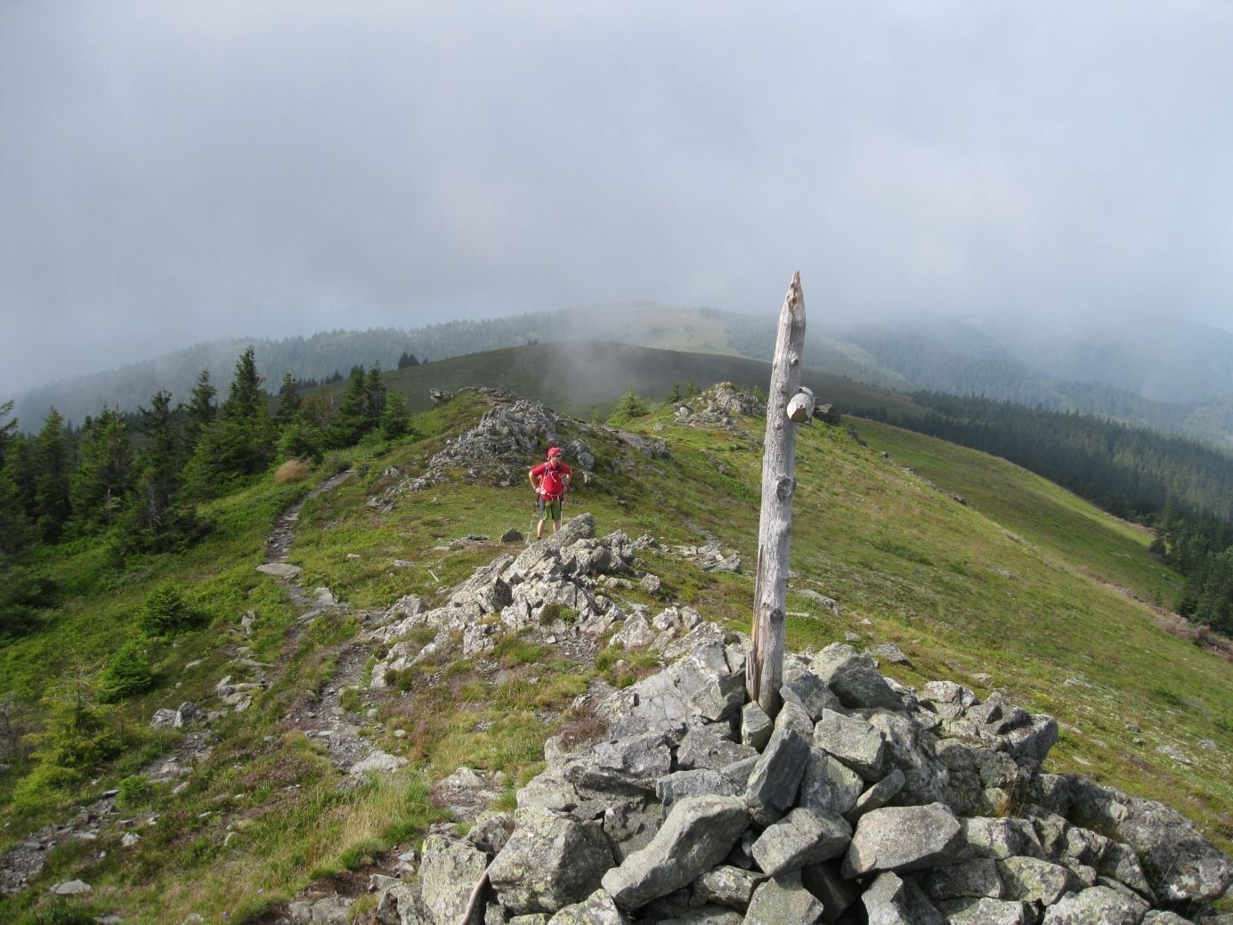
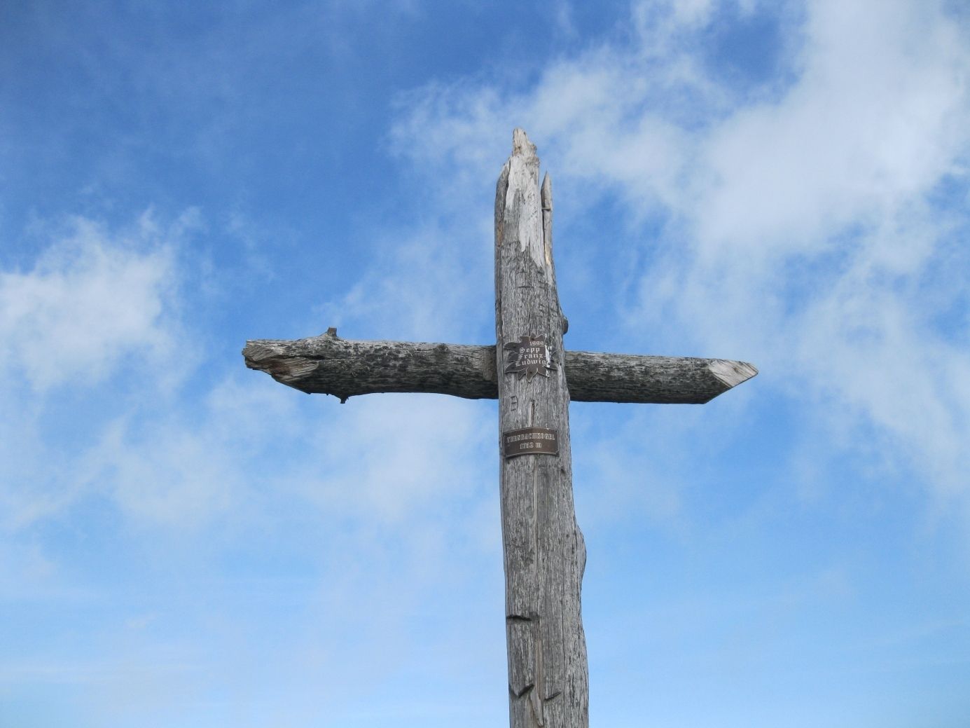
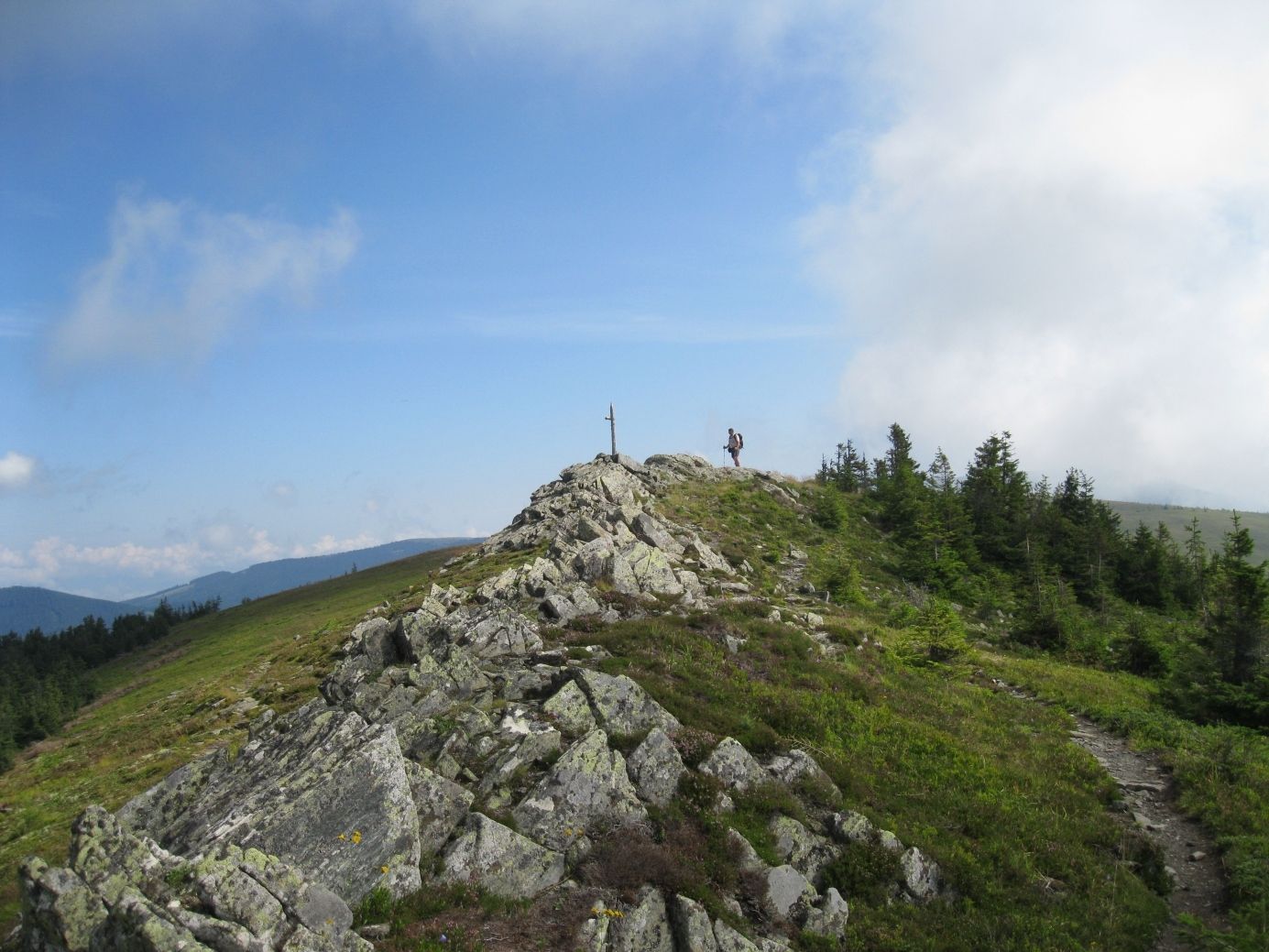
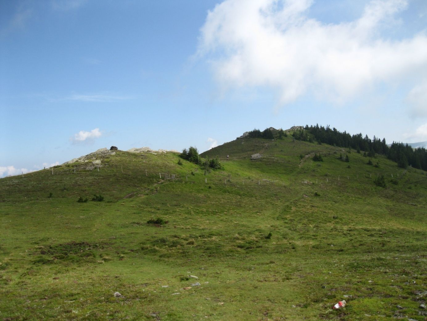
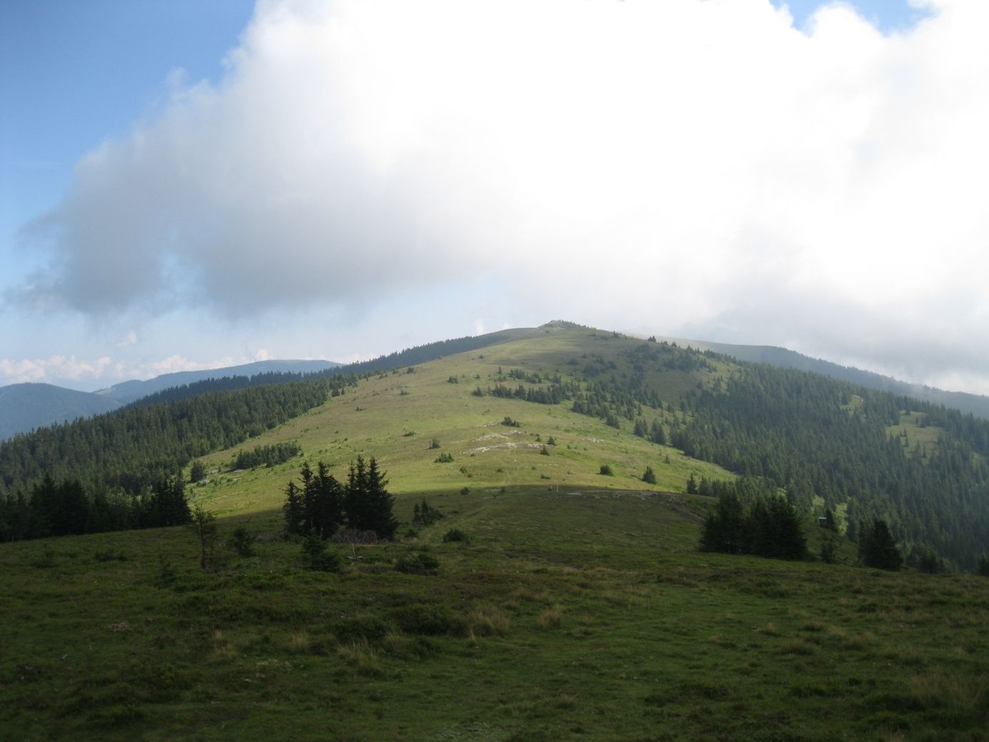
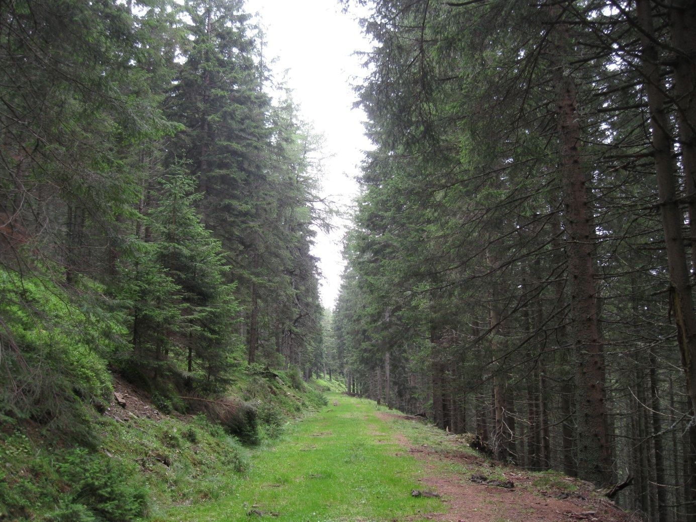
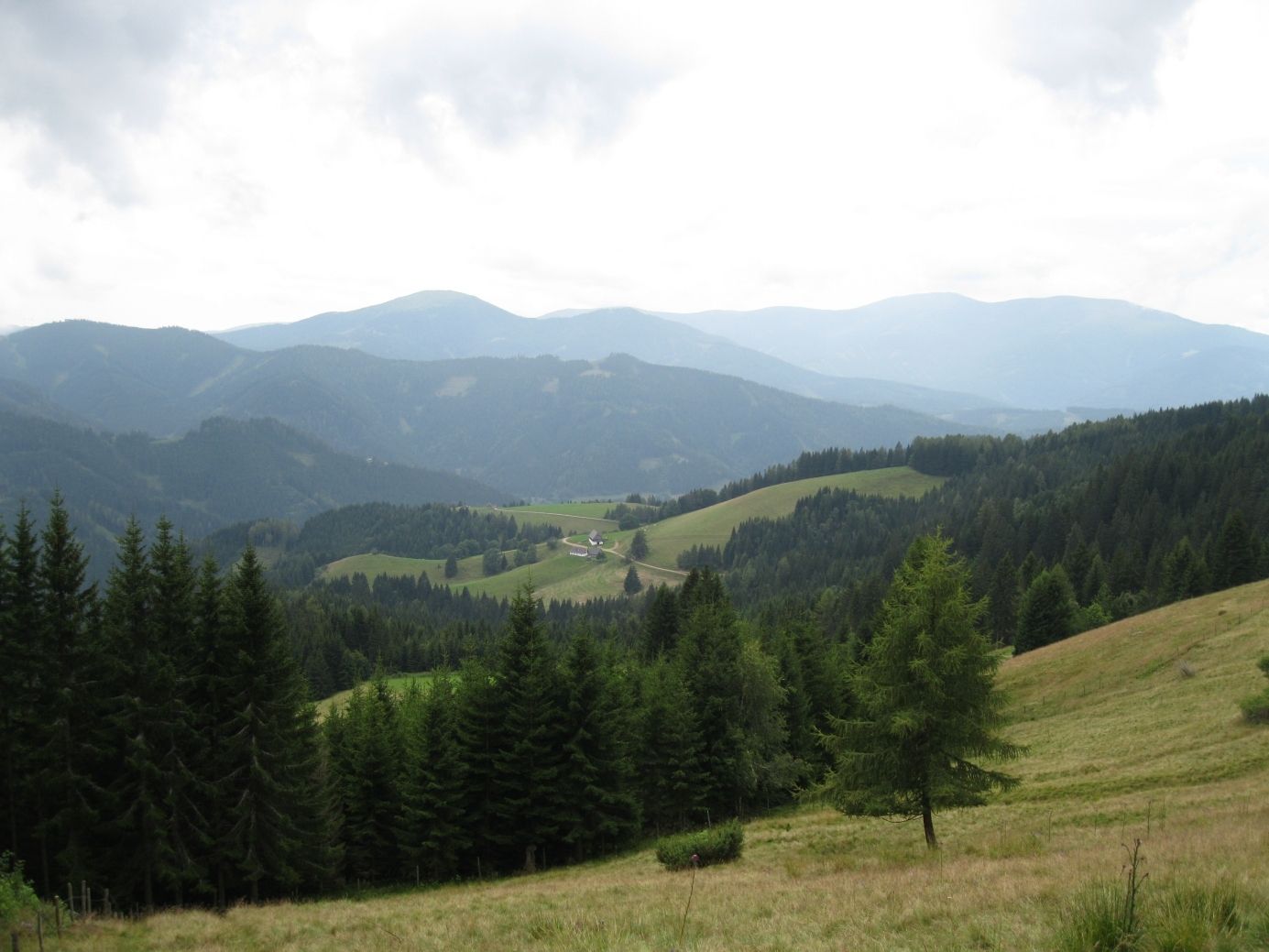
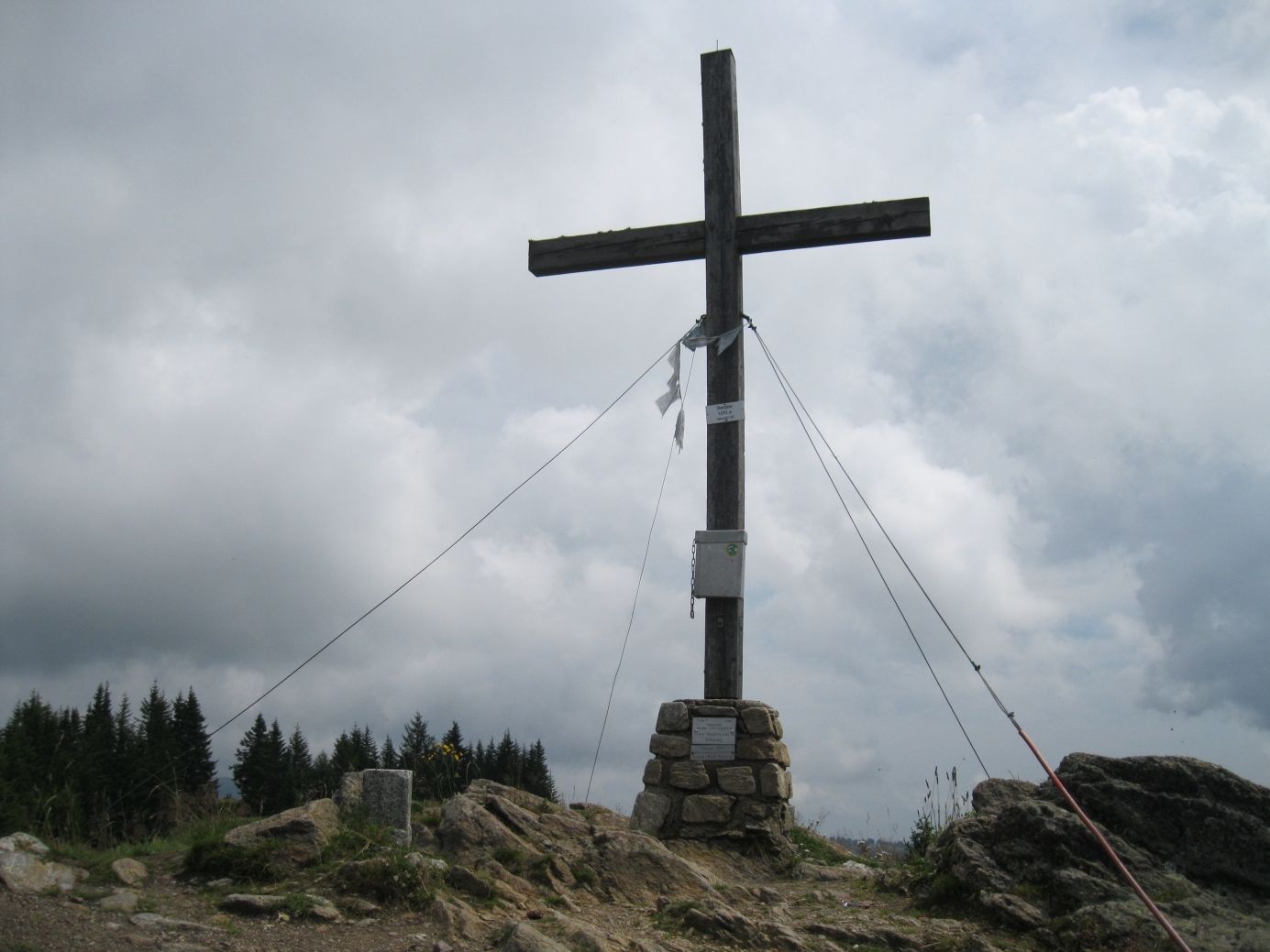
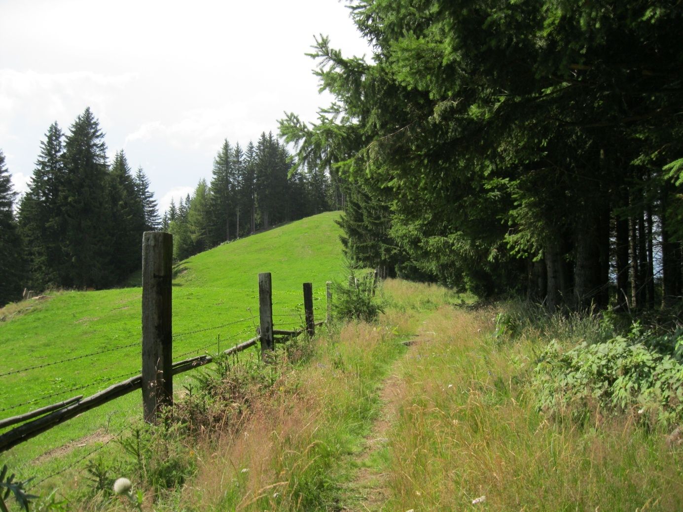
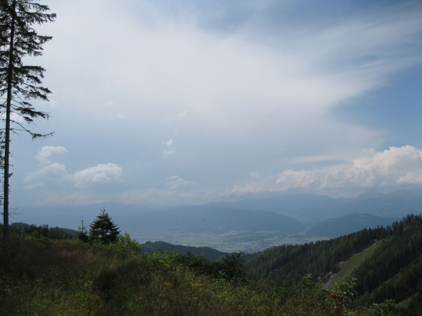
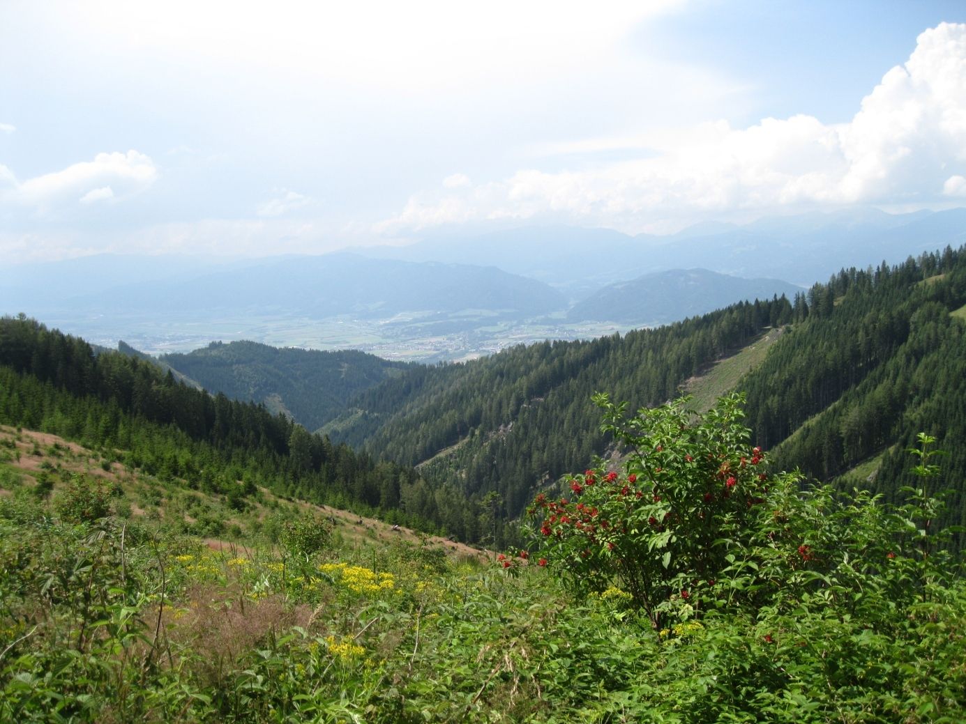
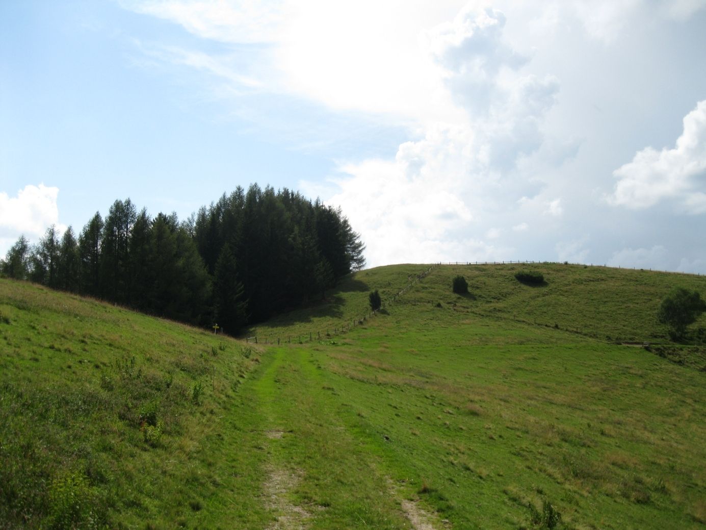
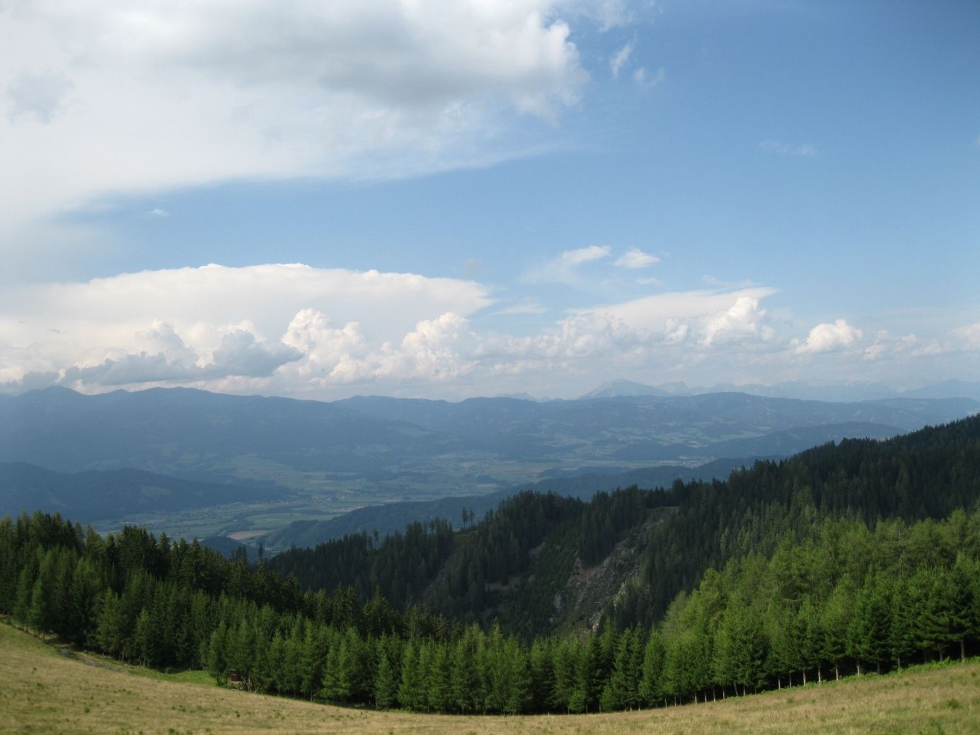
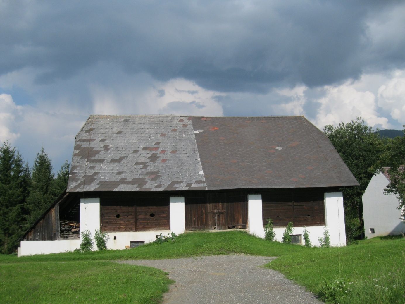
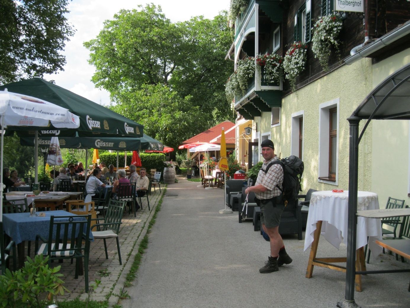
Vom Gleinalmschutzhaus wandern wir über die Roßbach- und Terenbachalm, gelangen zum Steinplan mit der Steinplanhütte und beenden die Etappe beim Thalberghof bei Knittelfeld.
- Difficulty
-
easy
- Rating
-
- Starting point
-
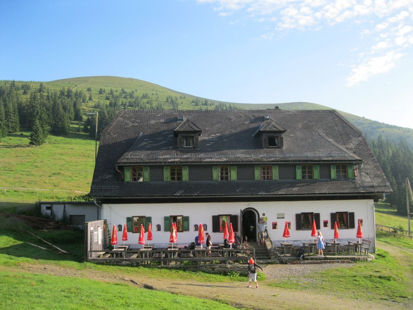
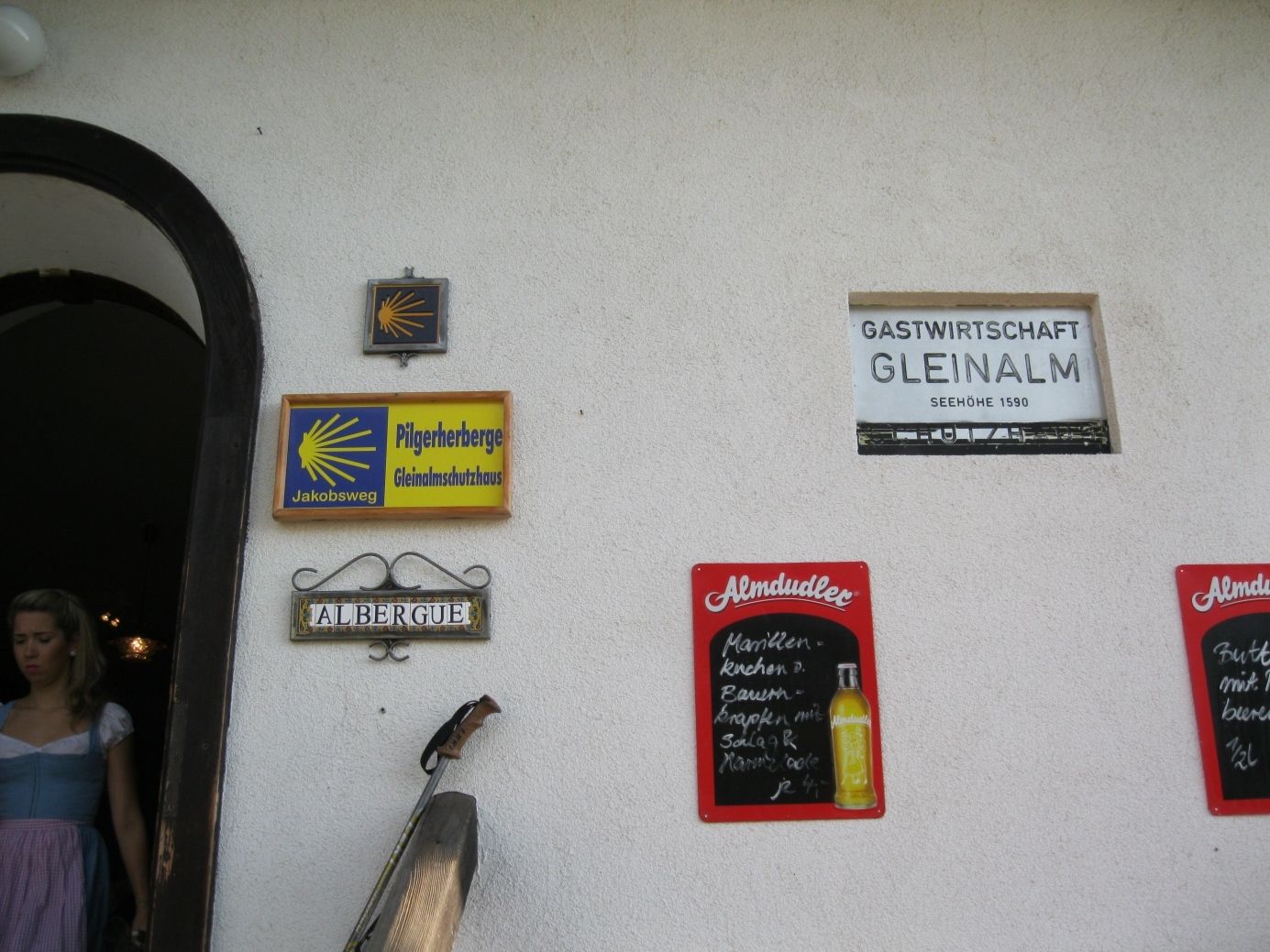
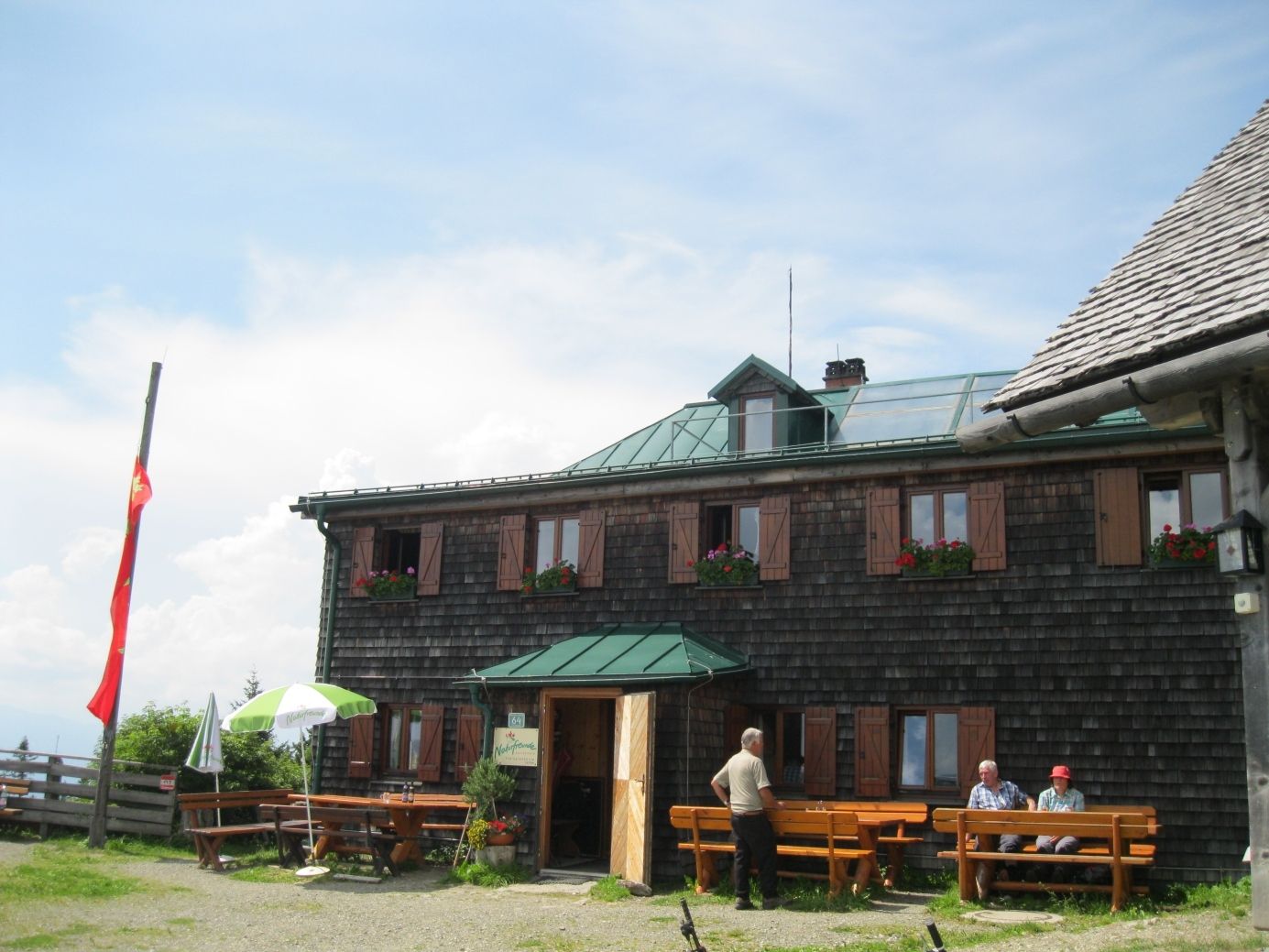
Gleinalmschutzhaus
- Route
-
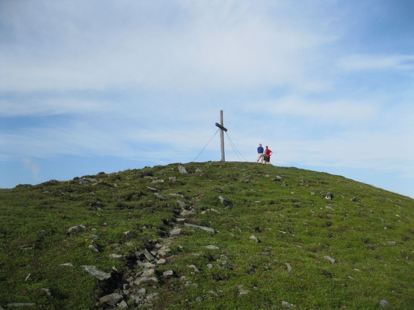
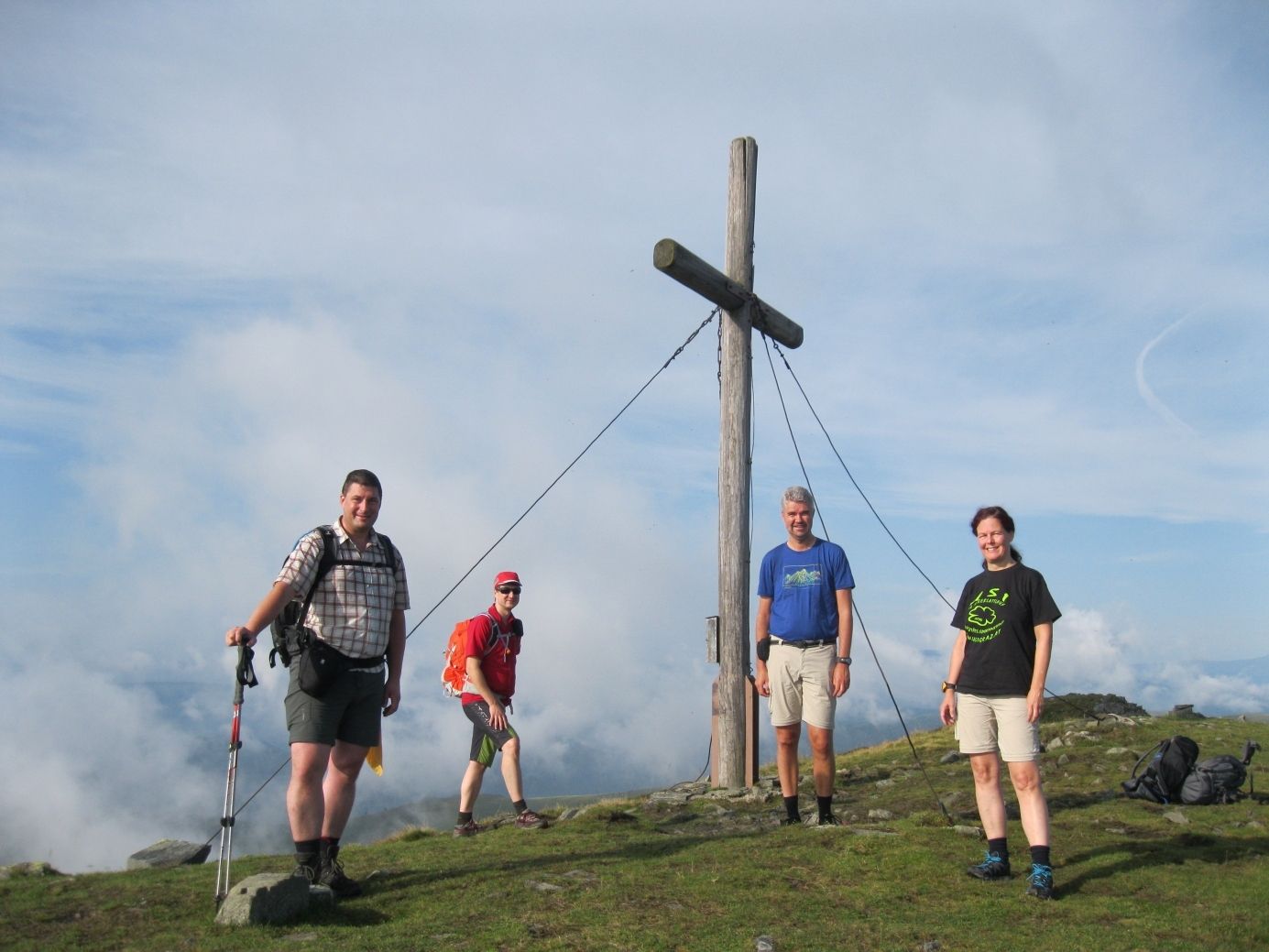
Maria Schnee0.0 kmRoßbachkogel (1,848 m)1.6 kmTernbachkogel (1,716 m)6.8 kmSteinplan (1,670 m)15.9 kmSteinplan Schutzhaus16.0 kmThalberghof24.0 km
- Best season
-
JanFebMarAprMayJunJulAugSepOctNovDec
- Highest point
- 1,829 m
- Endpoint
-
Thalberghof bei Knittelfeld
- Rest/Retreat
-
Steinplanhütte
Thalberghof - Information
-
Zentralalpenweg 02, Band 1, OeAV
- Ticket material
-
BEV, 1 : 25000


GPS Downloads


Trail conditions
Asphalt
Gravel
Meadow
Forest
Rock
Exposed
Other tours in the regions