© Tourismusverband Südburgenland - Hans-Peter Neun
- Brief description
-
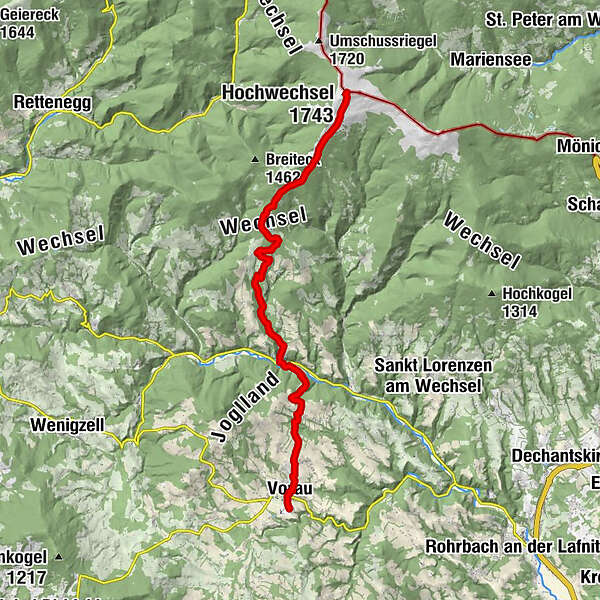
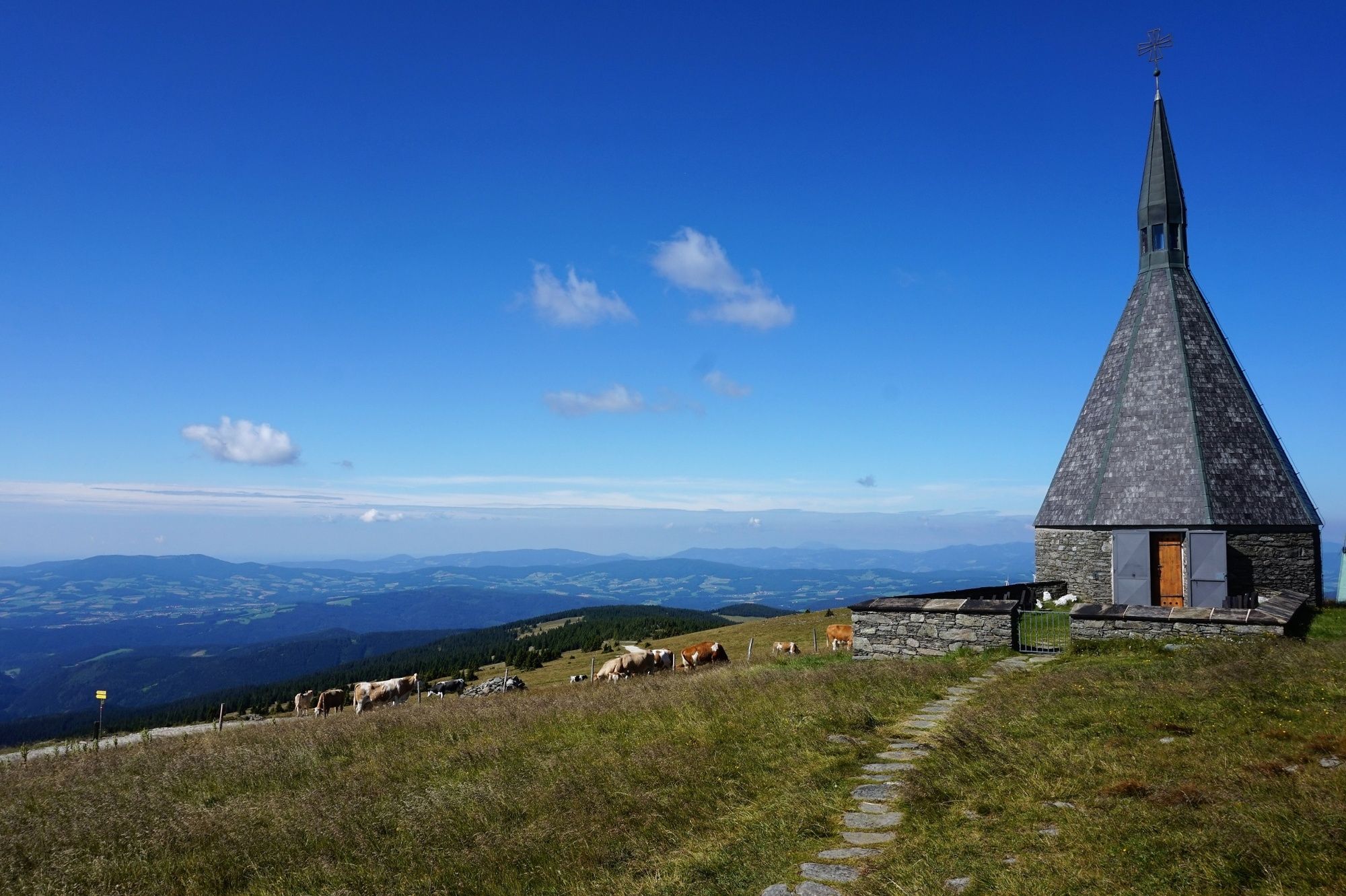
Vom Stift Vorau führt uns diese regionale Route nach Mönichwald und über die Mönichwalder Schwaig zum Wetterkoglerhaus am Hochwechsel.
- Difficulty
-
difficult
- Rating
-
- Route
-
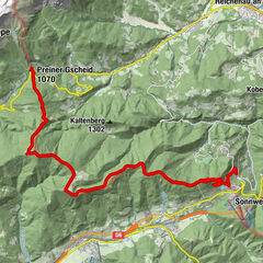
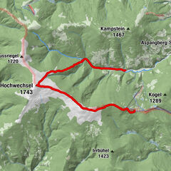
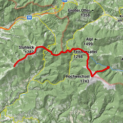
Kutscherwirt Hotel-Restaurant0.2 kmGasthof Pension „Vorauerhof“0.5 kmVorau0.6 kmFilialkirche Marktkirche hl. Ägydius0.6 kmRiegersbach2.0 kmWeißenbach3.8 kmLandhotel Mönichwalderhof6.6 kmMönichwald6.6 kmPfarrkirche hll. Peter und Paul6.7 kmUnter der Alm10.3 kmBerggasthof Schwengerer11.2 kmOchsenloch Hütte12.5 kmGemeindkreuz14.7 kmKaltwiesen Hütte15.6 kmHochwechsel (1,743 m)19.7 kmWetterkoglerhaus19.7 km
- Best season
-
JanFebMarAprMayJunJulAugSepOctNovDec
- Highest point
- 1,736 m
- Endpoint
-
Wetterkoglerhaus - Hochwechsel
- Height profile
-

- Author
-
The tour alpannonia - regionale Route Vorau is used by outdooractive.com provided.
GPS Downloads


General info
Refreshment stop
A lot of view
Other tours in the regions
-
Wiener Alpen
3045
-
Joglland - Waldheimat
1512
-
Waldbach-Mönichwald
307