Panorama Trail 100 - stages north of the River Enns


- Brief description
-
A hiking enjoyment pure is expecting you at the Panoramaweg 100. A loop hiking trail on the left or on the right-hand side of the Enns, with a length of 117 km and at an altitude from 700m to 1300m.
- Difficulty
-
easy
- Rating
-
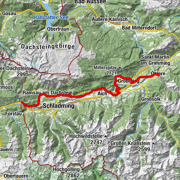
- Route
-
MandlingWarterdorf2.0 kmJausenplatzl Astlhof5.1 kmRamsau am Dachstein9.5 kmWaldschenke9.5 kmKulm11.4 kmSt. Rupert am Kulm11.4 kmSattelberghütte13.7 kmWeißenbach21.0 kmSonnberg23.2 kmAssach26.7 kmPfarrkirche St. Nikolaus26.7 kmPruggern30.1 kmHotel Pruggererhof30.2 kmKunagrün30.8 kmGröbmingeralm34.9 kmJausenstation Stodermaut35.2 kmWeyern36.8 kmHofmanning40.7 kmHäuserl im Wald44.8 kmGersdorfer Wald46.8 kmÖblarn49.6 km
- Best season
-
JanFebMarAprMayJunJulAugSepOctNovDec
- Description
-
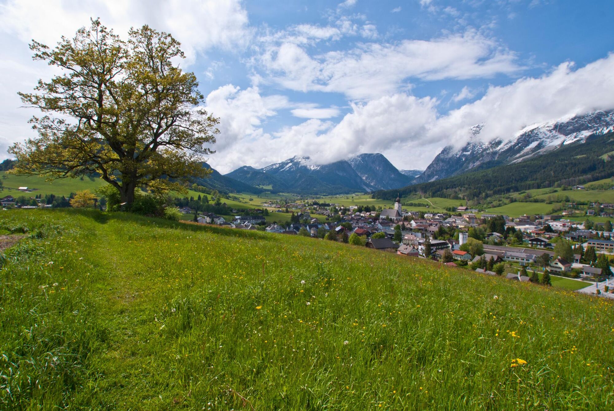
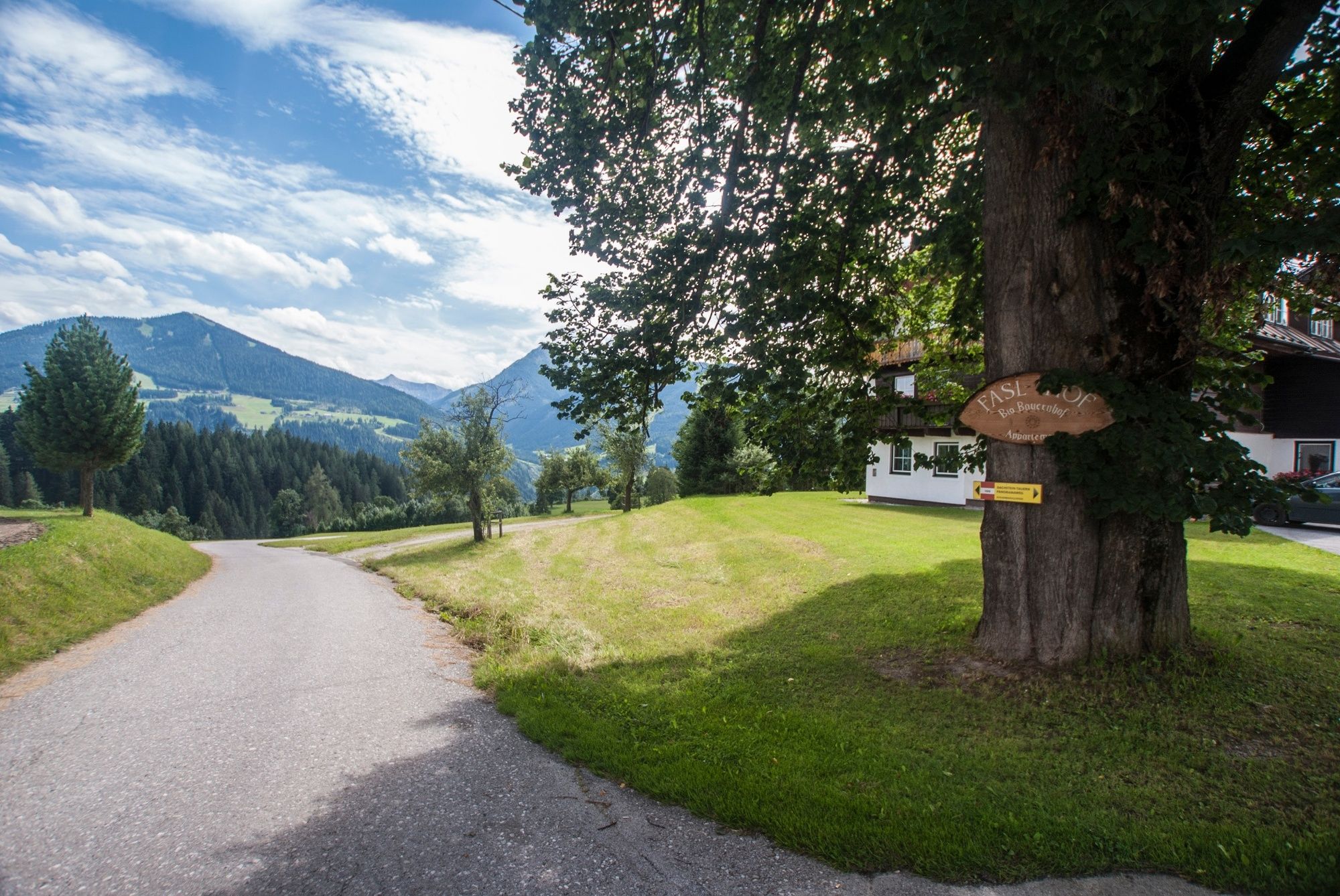
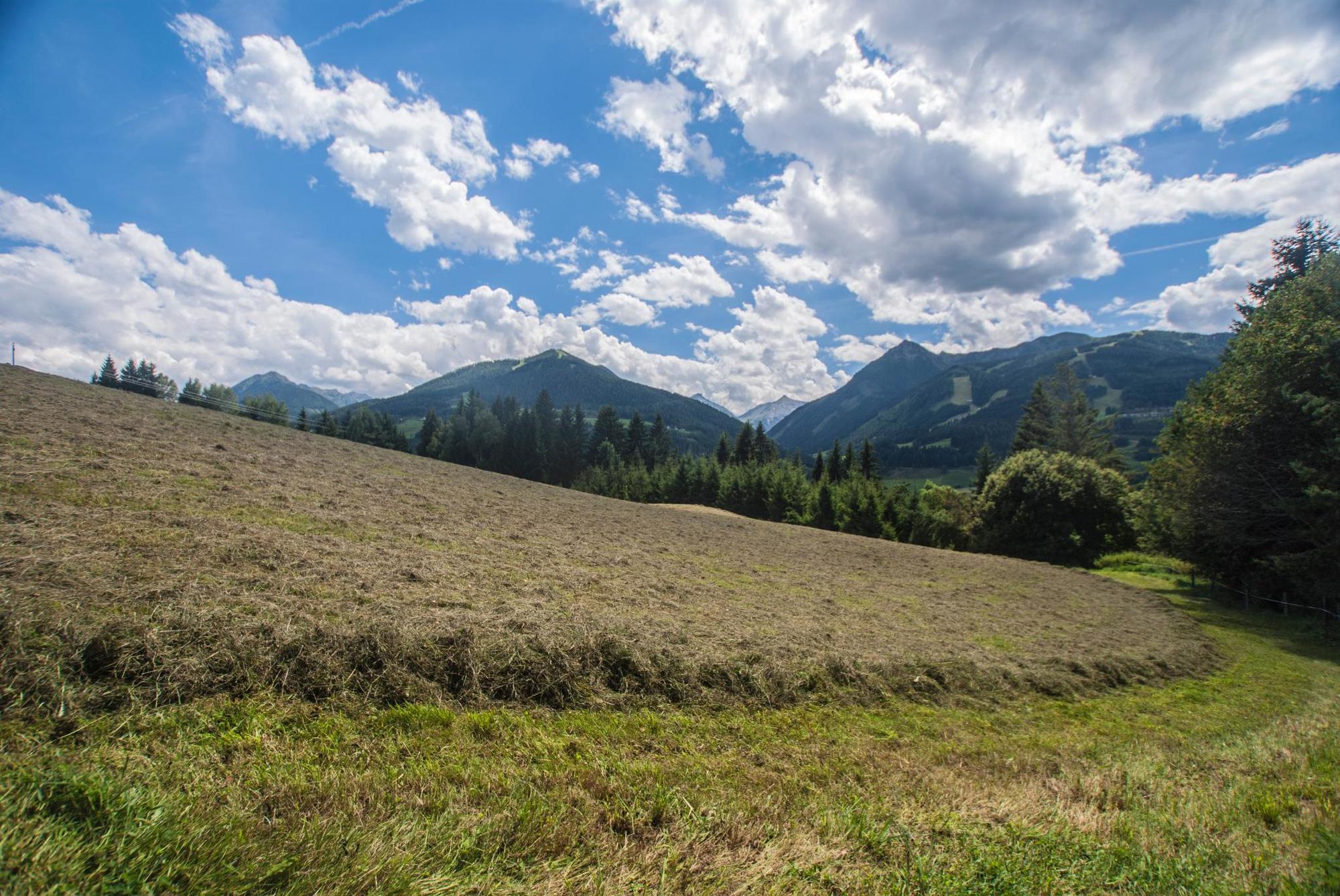
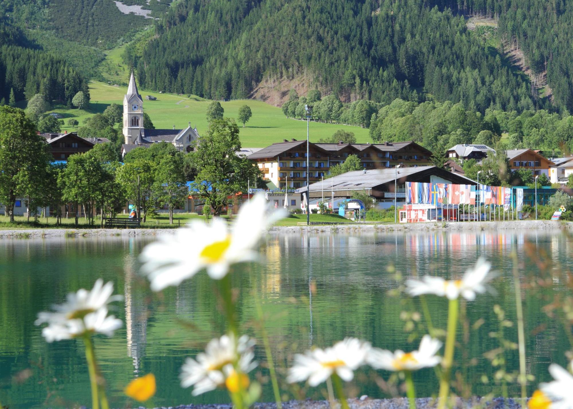
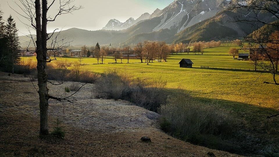
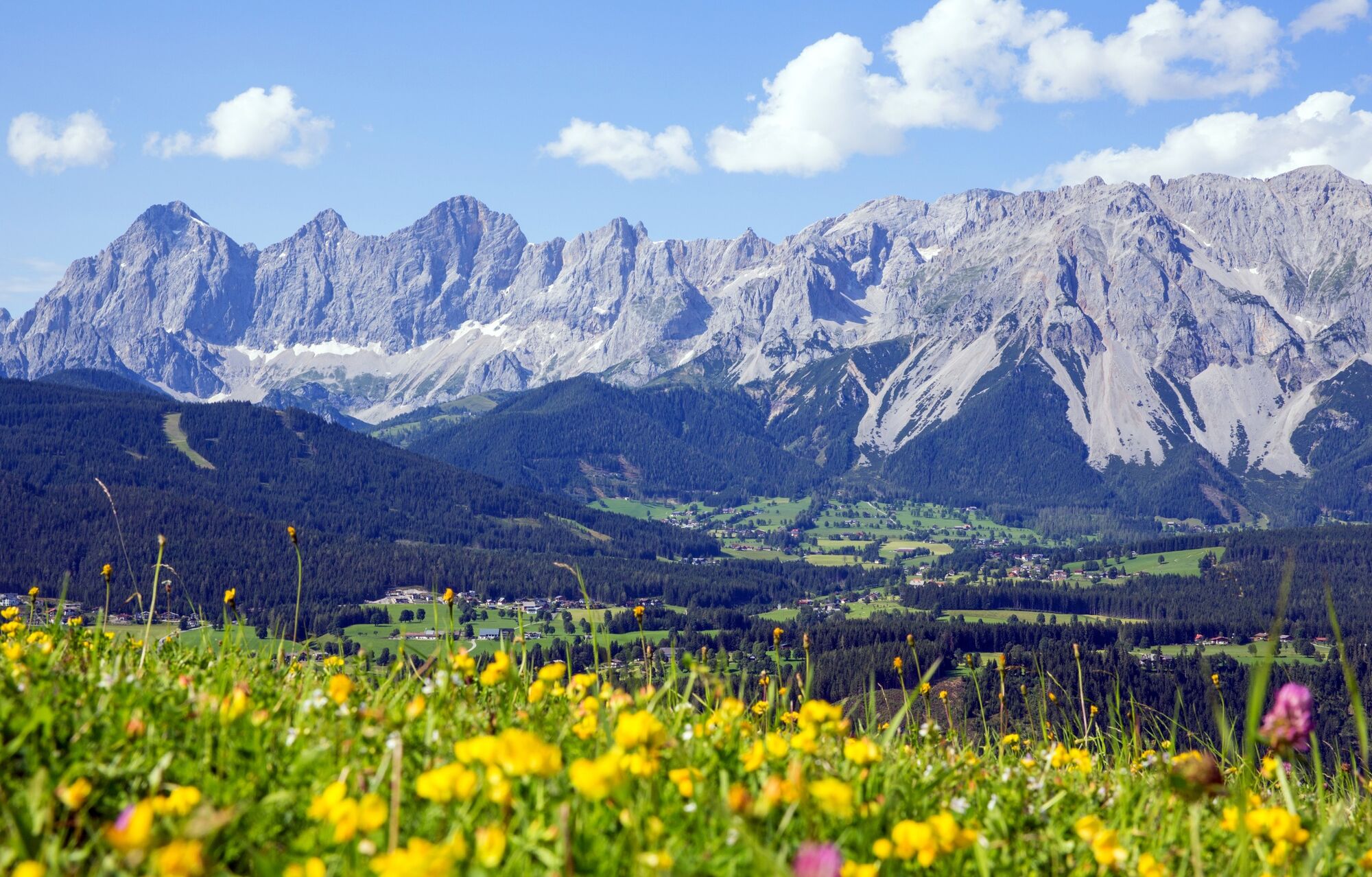
The stages to the North of the river Enns take us on a tour below the summits of the Dachstein massif via the plateau of Ramsau, the valley bottom of Gröbming and Mitterberg before we finally reach Öblarn. On the route we walk through the villages of Mandling, Warterdorf, Ramsau am Dachstein, Birnberg, Weißenbach, Aich, Assach, Pruggern, Gröbming, Mitterberg and Öblarn.
- Directions
-
Stage 1 - easy - 5 hours
from Mandling via Vorberg to RamsauSetting out from Mandling, the first day of this trail begins on the right of the River Enns with an easier tour. We will hike in a relatively brief period of time from Mandling over the Vorberg and out onto the broad high plateau known as the Ramsau. We head east with views of the mighty rock walls of the Dachstein massif and the countless peaks of the Schladminger Tauern range.
Stage 2 - easy - 5.5 to 6 hours
from Ramsau to PruggernAfter a day on the "philospher's path", today is one of leisurely walks and a day for the kids. And if this day's ration seems a little short, there are numerous attractive detours and variants available to you if you wish to extend your hike.
Stage 3 - challenging - 7 hours
Via Kunagrünberg to Gröbming and via Mitterberg to ÖblarnOn the concluding day of the northern Panoramaweg, we experience three completely different stages : We follow a steep route leading over the Kunagrünberg into the broad valley bottom and Gröbming, circle the market town in a clockwise direction, then head out via the Mitterberg and down to Öblarn.
Note: On this stage, too, of course, there are numerous variants to choose from.
- Highest point
- 1,181 m
- Endpoint
-
Öblarn, Gasthof Stralz'n
- Height profile
-

- Equipment
-
A well-packed backpack is helpful and especially when touring Alpine terrain a tuque, gloves, a windproof jacket and pants are standard equipment. Good, waterproof shoes, sun glasses, sun cream and sufficient beverages are essential too. Torch light, a map of the area, knie and a small first-aid kit should also be in the backpack.
- Safety instructions
-
Changes in weather patterns, quick falls in temperature, thunderstorms, wind, fog and snow are some of the dangers that can be encountered on a hiking tour. Hosts of alpine huts and mountain refuges have a lot of experience in the mountains and can give good advice about weather and the trails. Poor equipment, overestimation of one's own capabilities, carelessness, poor personal constitution and/or wrong judgement can lead to critical situations. In case of thunderstorms: avoid summits, ridges and steel ropes.
GPS data and orienteering
Available GPS data - just like hiking maps - is only a guidance for orientation and can never depict a trail exactly with all its details. Especially at dangerous spots it is essential to judge on site how to proceed.
In an emergency please call:
140 - for Alpine emergencies (all over Austria) 112 - European GSM emergency number - Additional information
- Directions
-
Via highway B320 (Ennstalbundesstraße) directly to Mandling.
- Public transportation


-

-
AuthorThe tour Panorama Trail 100 - stages north of the River Enns is used by outdooractive.com provided.


General info
-
Schladming - Dachstein
3000
-
Haus - Aich
1365
-
Aich
276