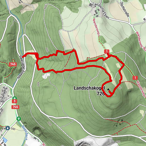
Tour data
2.93km
544
- 728m
187hm
188hm
01:00h
- Brief description
-
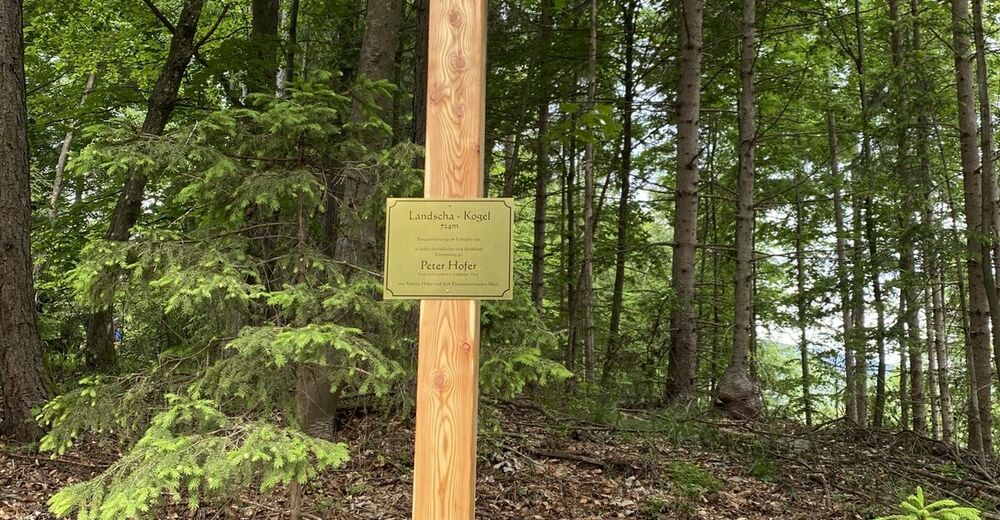
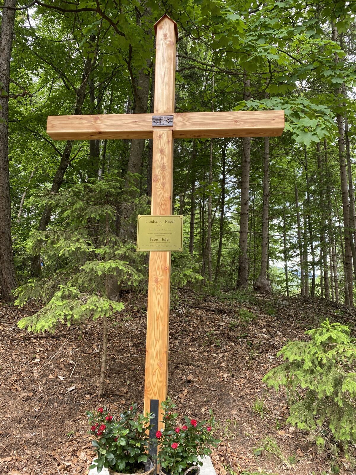
Landschakogel ?????♀️?
- Difficulty
-
easy
- Rating
-
- Route
-
Landschakogel (726 m)1.6 km
- Highest point
- 728 m
GPS Downloads


Other tours in the regions
-
Erlebnisregion Graz
2782
-
Weiz/St. Ruprecht an der Raab
1521
-
Weiz
381