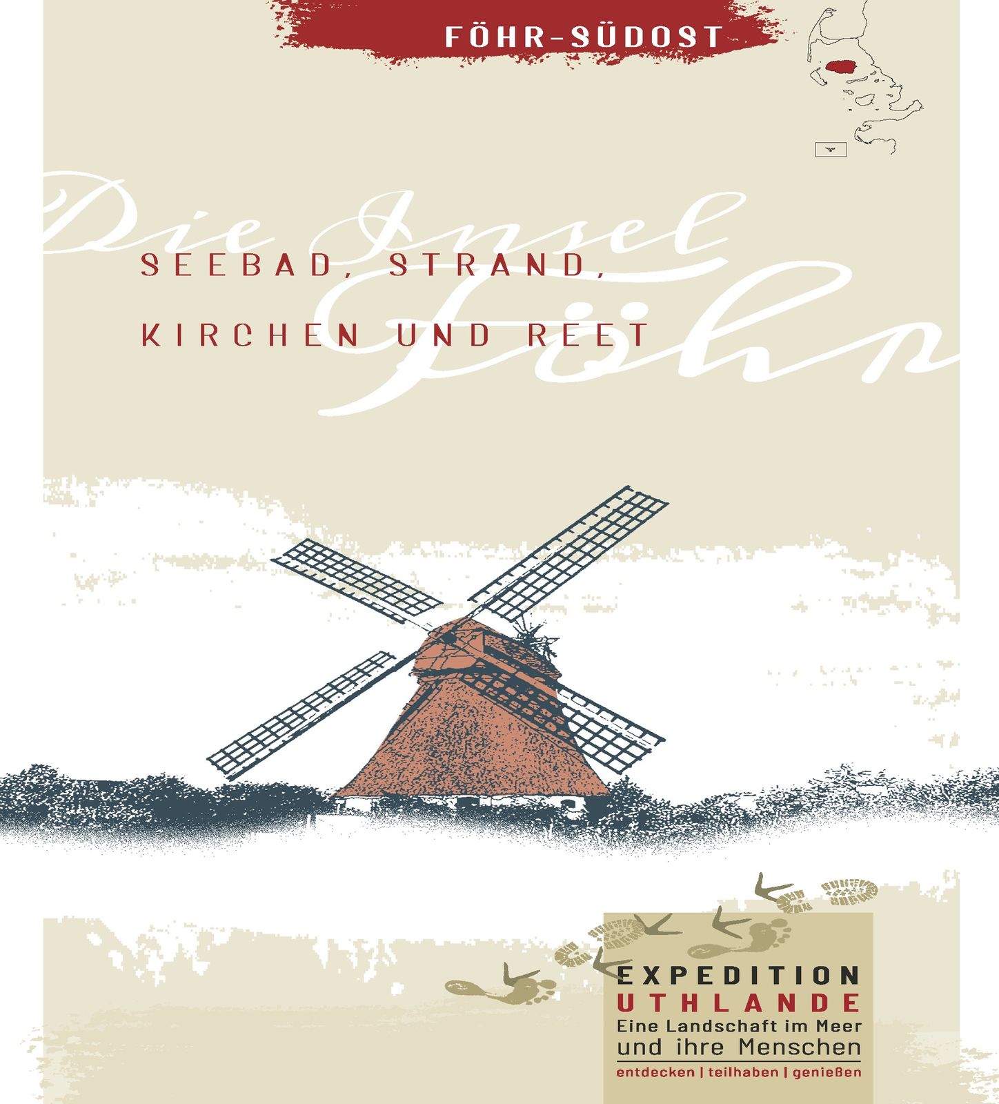
Expedition Uthlande: Föhr southeast - seaside resort, beach, churches and reed


- Brief description
-
From town to village, from forest to beach, from march to geest you will get a varied insight into nature and landscape as well as the cultural history of the island of Föhr. If the route is too long, you are welcome to take a shortcut.
- Difficulty
-
medium
- Rating
-
- Starting point
-
Ferry terminal Wyk
- Route
-
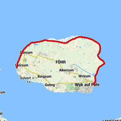
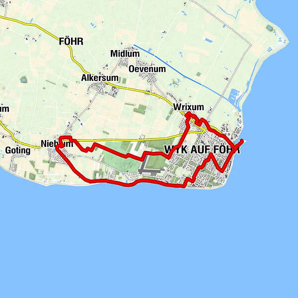
Wrixum2.4 kmRestaurant Störtebecker2.5 kmRestaurant Ari's Greek2.7 kmSt. Nicolai2.9 kmWyk auf Föhr3.3 kmSankt Johannis8.0 kmNieblum8.4 kmWyk auf Föhr14.3 km
- Best season
-
JanFebMarAprMayJunJulAugSepOctNovDec
- Description
-
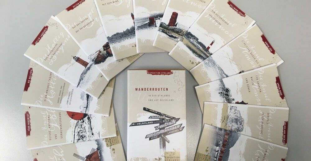
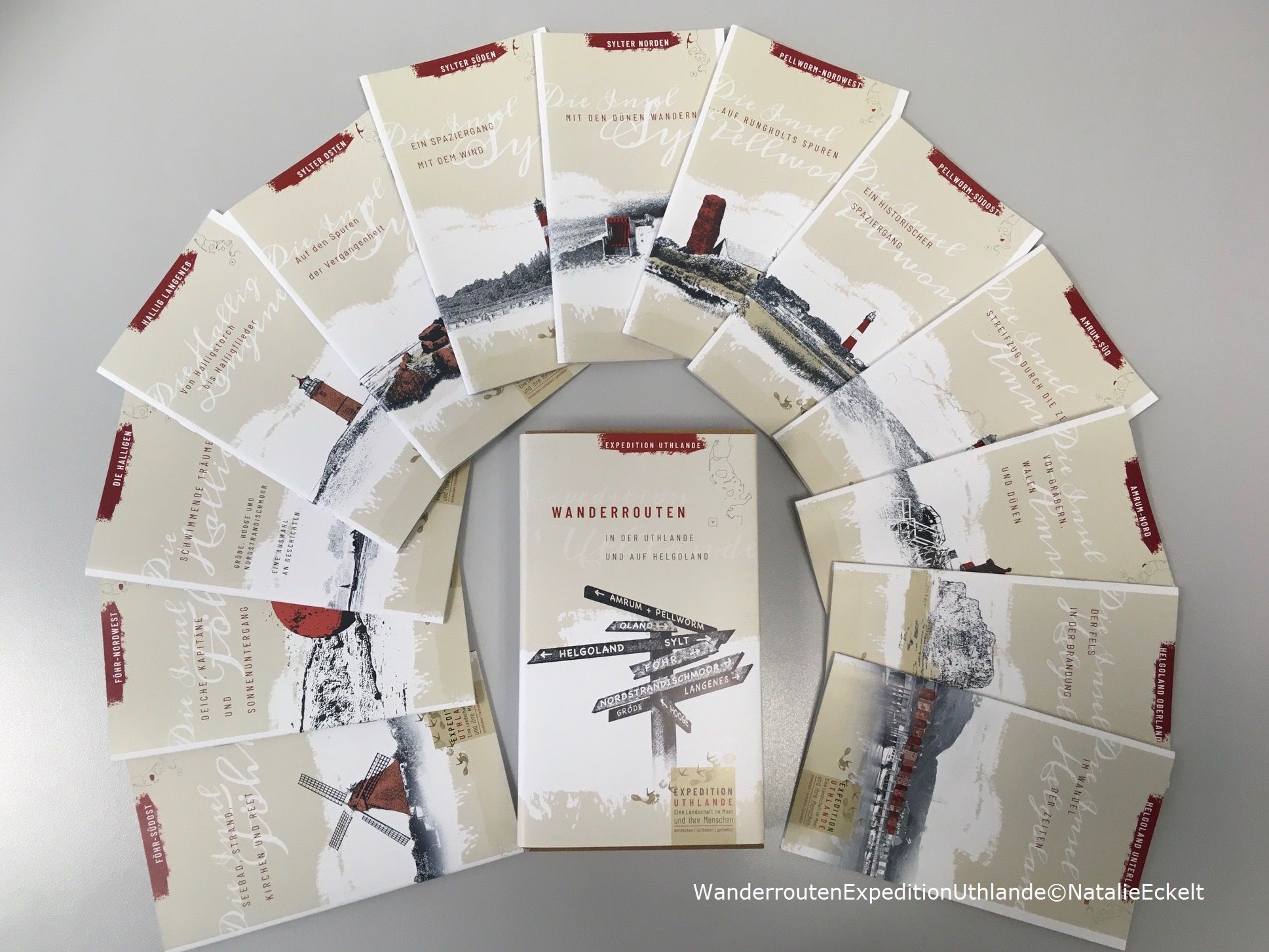
The tour is part of the series "Expedition Uthlande - A landscape in the sea and its people". The printed brochures with detailed information are available for a donation at the Insel- und Halligkonferenz e.V., www.ihko.de, Tel. 04681-3468.
- Directions
-
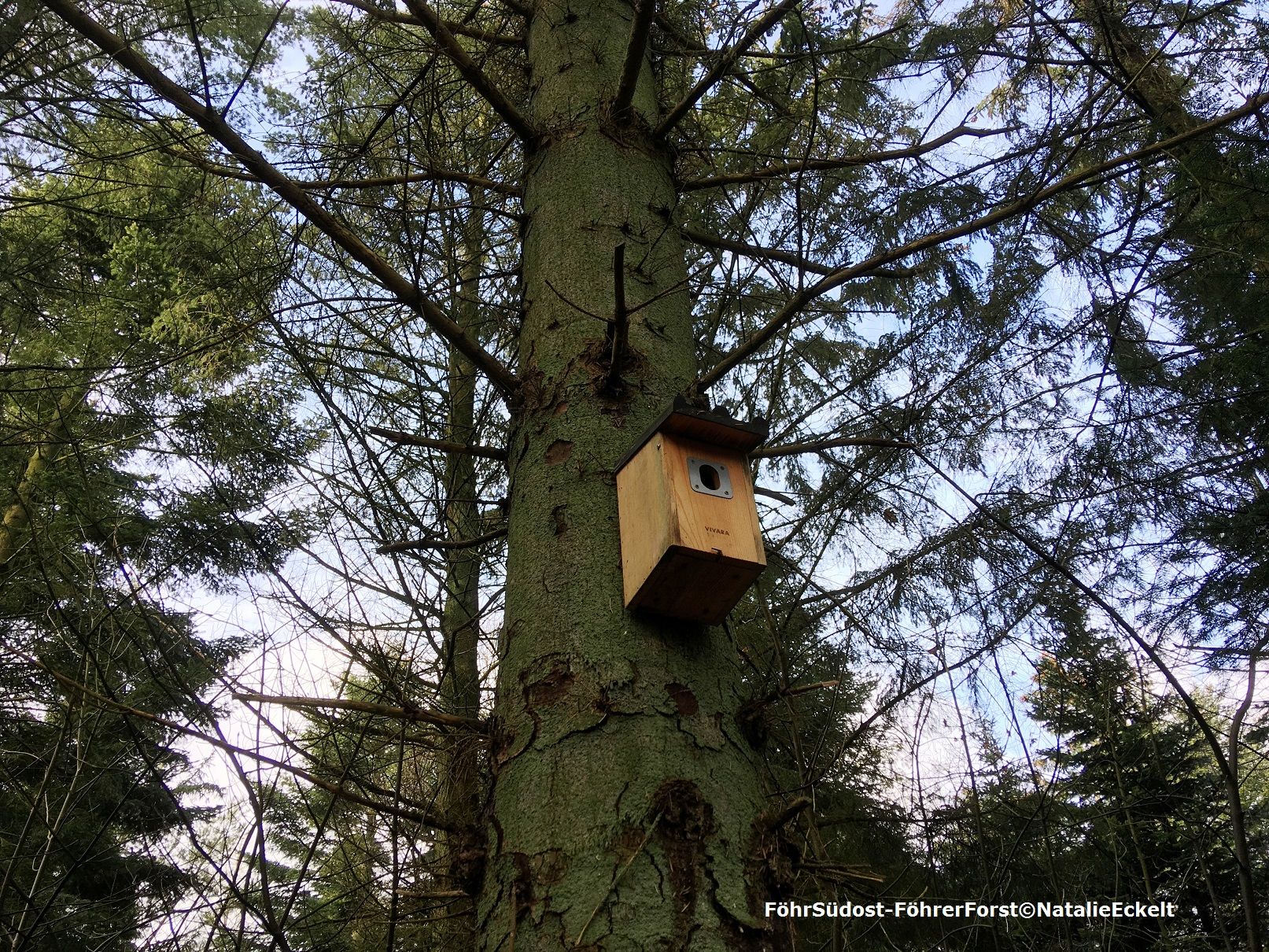
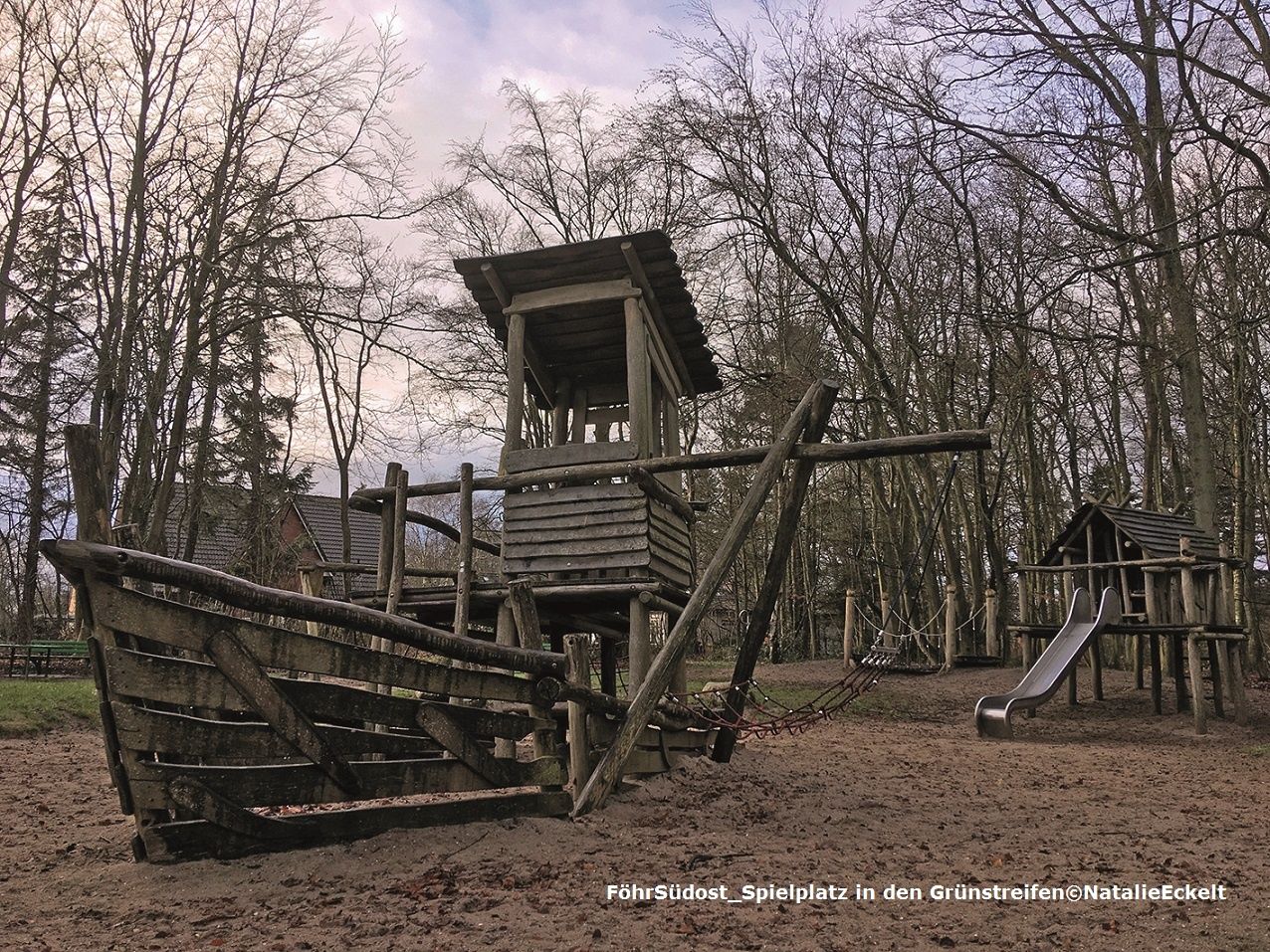
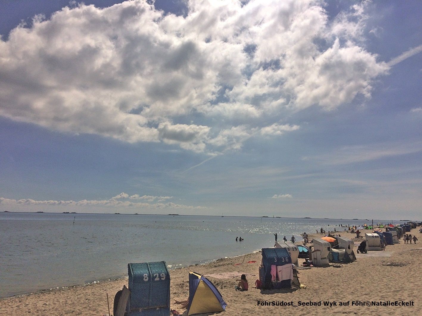
We start our tour at the ferry pier Wyk on Föhr with the storm surge pole. The starting point of the expedition is easily accessible from all arriving ships and is also connected to all Föhr bus lines due to its central location (bus stop at the port or industrial area). From the storm surge pole you pass the road and keep right to reach the dike via stairs. Follow the path on the dike and cross the Heymannsweg via a traffic light. Follow the footpath and cycle path parallel to the road until you reach the Marschweg, which you follow until you reach the large street Am Hafen. After approx. 250 m you will see the small road Buernstraat on your left hand side: Here you can look to the right into the wide march. After the wide view of the flat marshes, you will return to the village on the Geest. Follow the Buernstraat to the end and keep right on the path Holm. After about 100 metres, turn right into the path Dörps End until the end of the path and then left into the small footpath, the Bop. Follow the Bop until Neuer Weg, keep left for 50 m and then turn right again into the Bop. At the end of the path turn right for a few meters, then left into the last section of the "Bop". At the end of the bop, turn left up to the main road. Here you will find the Wrixumer Mühle. Behind the mill, turn right into Fötjem (the apple orchard offers an opportunity for a short break), at the end of which turn left into Karkstieg and you will reach the church of St. Nicolai. From the gate of the churchyard, turn left along the Kirchweg to the Rundföhrstraße, which you cross and walk towards Nieblum. After approx. 50 m the "foot and bicycle path to the beach" branches off to the left. Follow this path for a few minutes until you reach a road, which you follow diagonally to the right until you reach a sand path at the edge of the forest. At the end keep right and after a few meters you will pass a barrier on the right hand side, next to which a bench is located, to enter the forest. On the forest path keep diagonally left. After a few meters a sign to the "Singdrossel" tells us that we are in the "Föhrer Forst". Stay on the forest path until you reach an asphalt road. Here you follow the sign "Wanderweg Nieblum" to the left in southern direction for about 250 m until a long, straight path with the sign "Nieblum 3,6 km" branches off to the right. Shortcut: Is the whole tour too long for you ? Just go straight on between the airfield and the golf course, then turn left across the road following the sign "Hundestrand" to the beach. From here, just follow the directions from station 12, you will come closer to the Rundföhrstraße again, but turn left at the next opportunity into the field path, which is lined with some fruit trees here. At the next T-junction turn right, then left again. After 200 m you will reach a stone with an arrow pointing to Nieblum. Here we are at station 7 "Osterland - Westerland". Follow the road to the right in the direction of Nieblum until you reach the big road at the entrance of the town. Walk towards the village and take the first street on the right ("Drunkenmannsstieg"). At the end of the street turn left until you reach St. Johannis church. After visiting the church, leave the churchyard through the second gate and turn left into the Namine-Witt-Wai, cross the big street and enter Bernhard-Farwer-Strat. Let's take a little time here for the "village of the captains". At the end of Bernhard-Farwer-Strat keep to the right and take the first left after the bend. You will reach the beach road, which you follow to the left until it becomes a gravel road, the Meetsweg. Follow this road to the beach. Once there, keep left on the Bohlenweg and look out over the Nieblumer Watt. Follow the Bohlenweg and after a while you will reach a tarred dike. Along the way it is worthwhile to pay attention to the rinsing seam. Here the sea often presents some of its otherwise hidden secrets like Mytilus edulis. You continue to follow the edge of the water and reach the first houses of Wyk. One of the benches is ideal for learning about the history of the "seaside resort Wyk". Shortly before the beach bar "Schapers" you go left up the stairs into the North Sea - spa gardens. In the Kurpark keep straight on (the path runs slightly diagonally to the right). Leave the park through a small alley and you will reach Gmelinstraße. Turn right here and after about 100 m turn left into the "Grünstreifen" - a small gravel path for pedestrians and cyclists, lined with trees. You cross two streets, keep right after the second street and reach a playground, where you will surely find an opportunity for reading. Continue north through the green belt following the signs for Rebbelstieg/Post. Cross the Rebbelstieg and turn right into Feldstraße until you reach the crossing with Badestraße. This will take you to the last stop, the "Storchengehege". From here, follow Feldstraße and turn left into Mühlenstraße after a few minutes. Follow this street until you reach the market place, on the back of which you will find our starting point.
- Highest point
- 10 m
- Endpoint
-
Ferry terminal Wyk
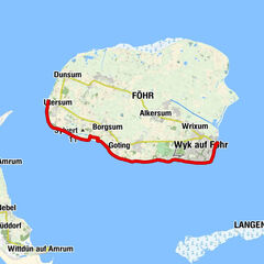
- Height profile
-
 © outdooractive.com
 - Safety instructions
-
The little etiquette for protected areas:
- All protected areas are marked with official signs.
- Look out for informative signs. They contain information about the protective purpose of the region and about the animals and plants in the area,
- The Wadden Sea is a vital gas station for millions of migratory birds. Please avoid bird aggregations over a large area. Do not disturb breeding birds.
- Throughout the entire protected area, dogs must be kept on a leash.
- Keep your distance to resting seals, seals and seabirds.
- Camping, building fireplaces and leaving official paths is prohibited.
- Please do not "camp" in the overgrown dunes.
- Take your garbage with you again.
- Do not feed seagulls.
- One more request: Do not take any animals or plants.
- Vital: Under no circumstances should you undertake a mudflat hike on your own! As harmless as the Wadden Sea looks at low tide, the flood can surprise you and take the idyllic natural environment back into your own hands.
- Additional information
-
Föhr Tourism GmbH
Tourist information in the shipping company building Wyk
Phone 0 46 81 - 300, www.foehr.de
Dr.-Carl-Häberl in-Friesen-Museum
Rebbelstieg 34, Wyk on Föhr
www.friesen-museum.de
Museum Art of the West Coast
Hauptsraße 1, Alkersum
Phone 0 46 81 - 74 74 00, www.mkdw.de
National Park House Föhr
Hafenstr. 23, 25938 Wyk on Föhr
Phone 04681 - 4290
https://nph-foehr.nationalparkservice.de/
Office Föhr-Amrum
Public order office, lost and found office
Hafenstraße 23, Wyk on Föhr
Tel. 0 46 81 - 50 04 0
www.amtfa.de
- Public transportation
-
Arrival by ferry: Several times a day the ferries of the Wyker Dampfschiffs-Reederei go from Dagebüll to the island Föhr. The crossing takes about 50 minutes. You can find all information on this, such as prices, timetables and booking options at www.faehre.de.
Bus service on Föhr: The eight bus lines of the W.D.R. operate several times a day between the island villages and the ferry pier. For safety and insurance reasons, it is unfortunately not possible to take bicycles, handcart or similar items on board.
https://www.faehre.de/fahrplaene/download-busfahrplaene/
Bicycle rental:In almost every town you will find the possibility to rent bicycles. Most bike rental companies also offer a free pick-up and drop-off service.
Cab: On Föhr, two cab companies are available to you 365 days a year and 24 hours a day.
Taxi King: Tel. 0 46 81 - 22 42; Freecall 0800 - 194 10 10
Taxi Korf: Tel. 0 46 81 - 37 0; Freecall: 0800 - 111 37 05; Mobile: 0171 - 80 888 79

-

-
AuthorThe tour Expedition Uthlande: Föhr southeast - seaside resort, beach, churches and reed is used by outdooractive.com provided.


General info
-
Föhr
34
-
Hallig Langeneß
7