
- Brief description
-
The route to Westerheversand Lighthouse is one of the best known along the coast, but the beauty of the landscape and diversity of nature can always be discovered anew.
- Difficulty
-
easy
- Rating
-
- Starting point
-
Bus stop / parking area Westerhever Lighthouse
- Route
-
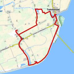
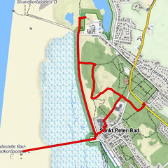
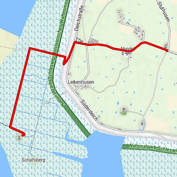
Ahndel5.0 km
- Best season
-
JanFebMarAprMayJunJulAugSepOctNovDec
- Description
-
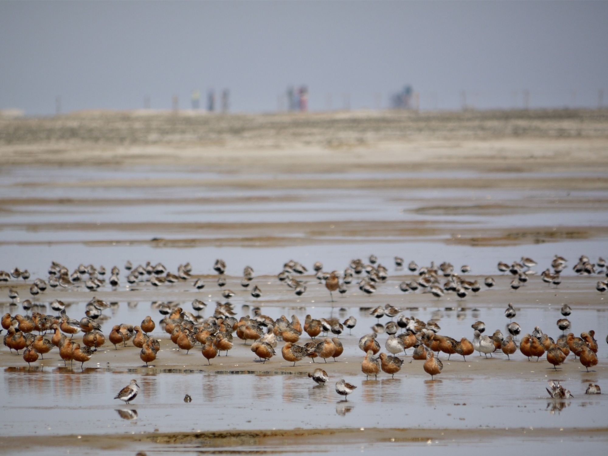
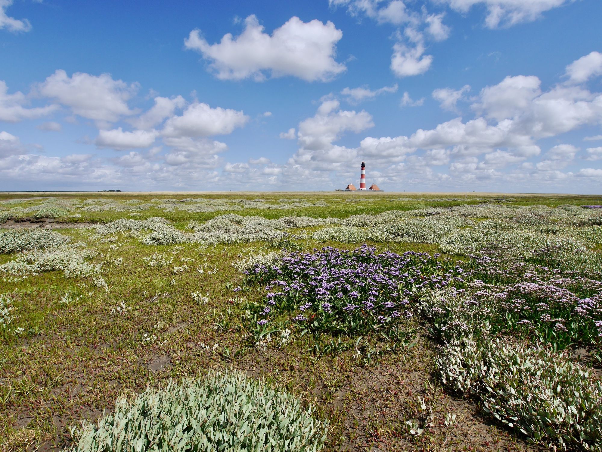
Already at the dike crossover, the view of the salt marshes, mudflats and sandbank in the national park is impressive. When the weather is good, the view reaches as far as St. Peter-Ording as well as islands and Halligen. Behind the dike there is a centuries-old cultural landscape, with terps from a time before the dike was built. The old grassland here is rich in bird life.
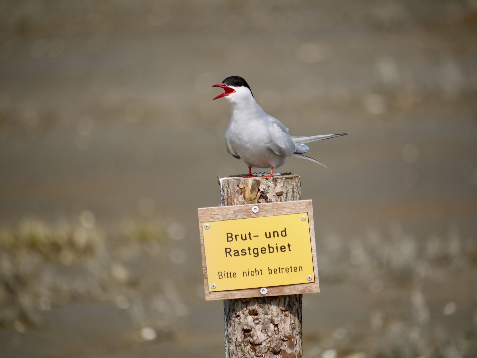
On the way through the salt marshes - initially grazed, later ungrazed in accordance with the national park - various bird calls can be heard. Especially in spring and autumn, thousands of migratory birds such as Barnacle Geese and Dunlins make a stop. Redshanks and oystercatchers breed here.
From the lighthouse, which can be climbed during guided tours, there is a fantastic panoramic view. At low tide, the sandbank can be reached along a row of piles, following the water level indications across the mudflats.
An additional round along the dike and through the march back gives insight into the cultural landscape.
- Directions
-
You start the tour at the dyke parking area, where are public toilets in a service building next to the TouristInfo Westerhever-Poppenbüll (here you may receive tickets for guided tours of the lighthouse). An information board provides information about the current tides.
Follow the path to the dike and further on to the top of the dike. From here you have a wonderful view when the visibility is good: In front of you salt marsh, mudflats, sandbank - the national park. When the weather is good, you have a view to St. Peter-Ording in the south and to islands and Halligen in the northwest. Behind you, in the march inland, you look at a centuries-old cultural landscape, with dwelling mounds still from a time before the dikes. The old grassland here usually has a rather high groundwater level and is therefore rich in bird life.
At the outer foot of the dike, keep to the right and follow the signs to the lighthouse. The path now leads into the national park, through extensive salt marshes, first through a grazed section. After a few hundred meters the path turns left.
If you want to make a detour straight ahead, the path continues towards the water edge and along a row of poles to the sandbank. At low tide you can walk across the mudflats to the sandbank and search for shells or go swimming. Attention: Please pay attention to the tides and the current water level!
To get to the lighthouse, follow the path on the left, which continues through the salt marsh. The salt meadow is criss-crossed by ditches that were once used for drainage. In the more natural parts of the salt meadow, these ditches slowly change back into curved tideways. Three bridges cross larger ditches, through which the water flows into the foreland at high tide and drains off again at low tide.
It often happens, at particularly high tides, that the entire foreland is flooded, then it is "Landunter" and only the lighthouse dwelling mound and the so-called Schafberg protrude from the water. In such weather you cannot go to the lighthouse!
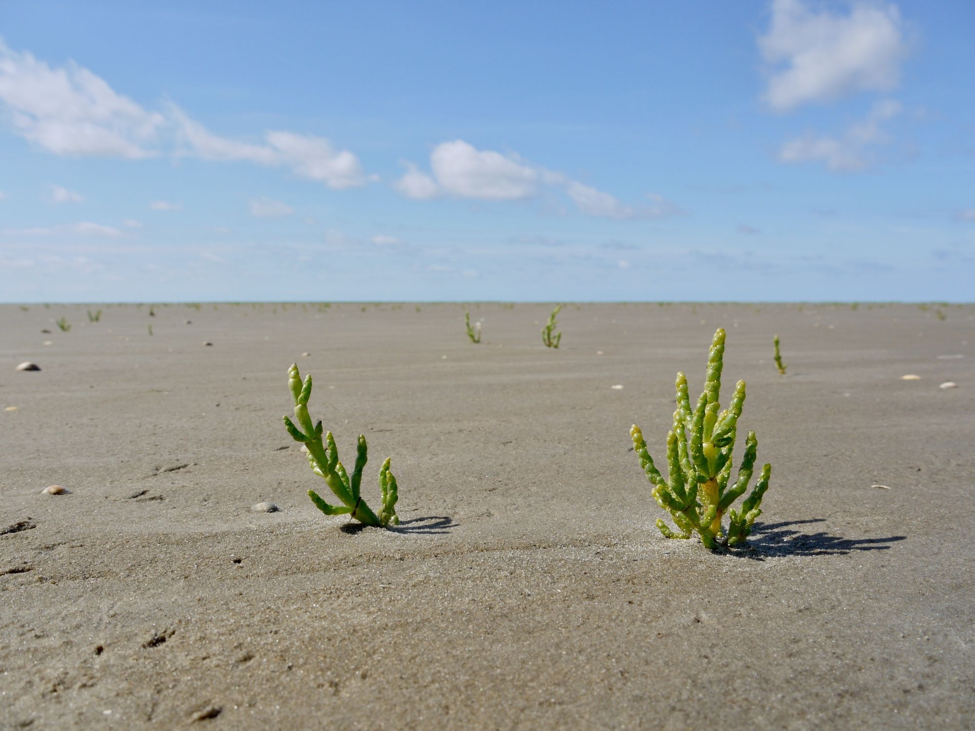
The grazed salt marsh turns into an ungrazed area where the natural vegetation can develop freely. Pay attention to the differences in vegetation!
Shortly before the lighthouse dwelling mound, the path to the lighthouse makes a sharp right turn. When you arrive there, an information room of the Schutzstation Wattenmeer awaits you, where you will learn interesting facts about the Wadden Sea National Park. There are no refreshment facilities here, but there is a public toilet.
On some days the lighthouse can be visited on previously booked guided tours. Tickets for the guided tours are available at the TouristInfo at the parking lot. During the summer months, it is recommended to book in advance.
- Highest point
- 6 m
- Endpoint
-
Bus stop / parking area Westerhever Lighthouse
- Height profile
-
 © outdooractive.com
 - Equipment
-
With the right clothing your hike will be an unforgettable experience in any weather! Our tip: With wind- and waterproof clothing, comfortable hiking boots, a little refreshment and some sunscreen you will rarely go wrong at the North Sea.
For bird and plant enthusiasts, it is worth taking along binoculars and suitable literature - also as an app.
- Safety instructions
-
In order to allow nature to unfold undisturbed, we would like to ask you to support nature conservation in the national park:
Please stay on the marked trails in the National Park and follow the signs for the protection of breeding and resting areas. And even if there are no signs: very nervous birds often indicate that you are too close to their breeding!
Please keep your dog always on a leash when he accompanies you on your journey so that he does not accidentally disturb breeding or resting birds.
Please do not leave any garbage in the nature.
Please do not pick flowers in the national park, because many plants enjoy a special protection. Instead, enjoy their sight on the spot.
Please keep your distance to flocks of birds and seals when you walk along the beach or along the water's edge. - Tips
-
The tour can be taken between 1.6. and 30.9. over the historic Stockenstieg as a round tour - a great experience!
- Additional information
- Directions
-
Over the Eiderstedt peninsula to Westerhever. The approach to the lighthouse is widely signposted.
- Public transportation
- Parking
-
There is a paid parking area at the starting point of the tour.

-

-
AuthorThe tour WWF Tour Westerhever: Experience nature all year round is used by outdooractive.com provided.