
- Brief description
-
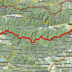
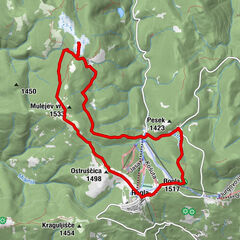
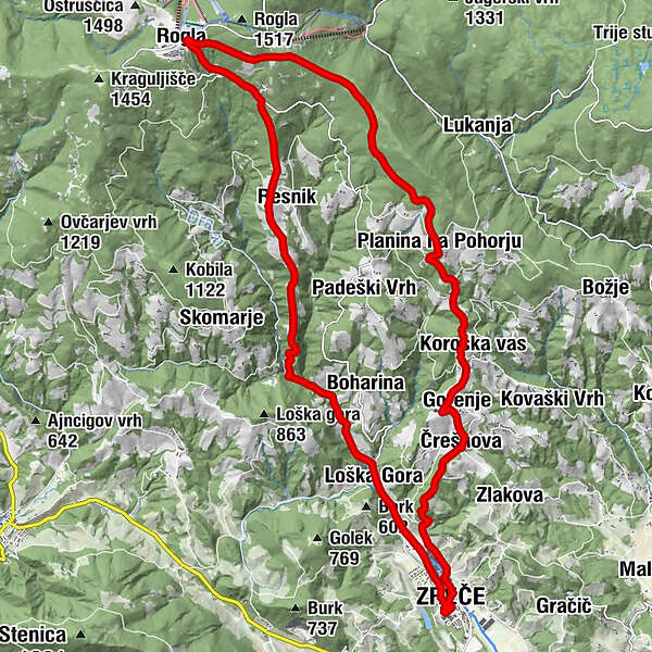
Circular path: Zreče (bus station) – Gorenje pri Zrečah( 760 m) – KTC Rogla – Resnik - Hotel Pod Roglo - Loška gora - Zreče
- Difficulty
-
medium
- Rating
-
- Starting point
-
Zreče (bus station)
- Route
-
Rötschach bei Gobonitz0.2 kmČrešnova (664 m)3.6 kmGorenje4.2 kmSmogavec5.0 kmKoroška vas5.8 kmPlanina na Pohorju (1,056 m)8.0 kmRogla14.1 kmUnior Kovaška Industrija d.d.14.2 kmResnik17.5 kmLoška Gora23.3 kmGorska Reka Restavracija&Prenočisča23.4 kmRötschach bei Gobonitz25.5 km
- Best season
-
JanFebMarAprMayJunJulAugSepOctNovDec
- Description
-
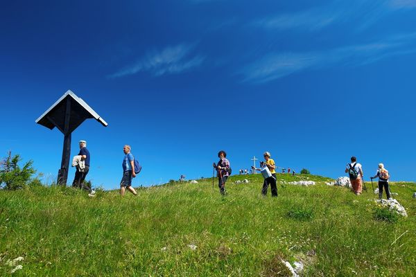
The route is a difficult steep path meant for hikers with experience.
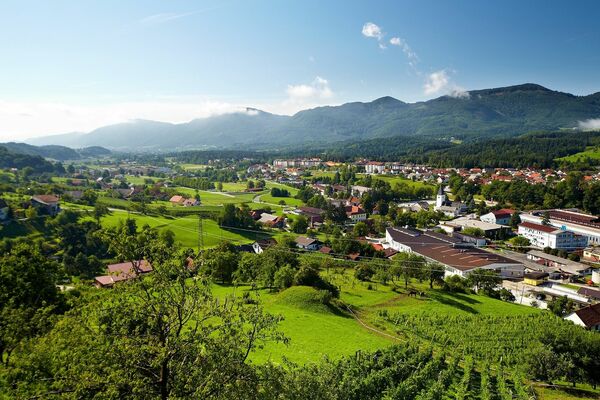
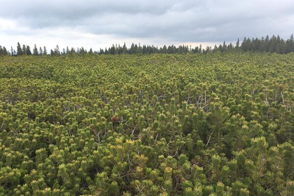
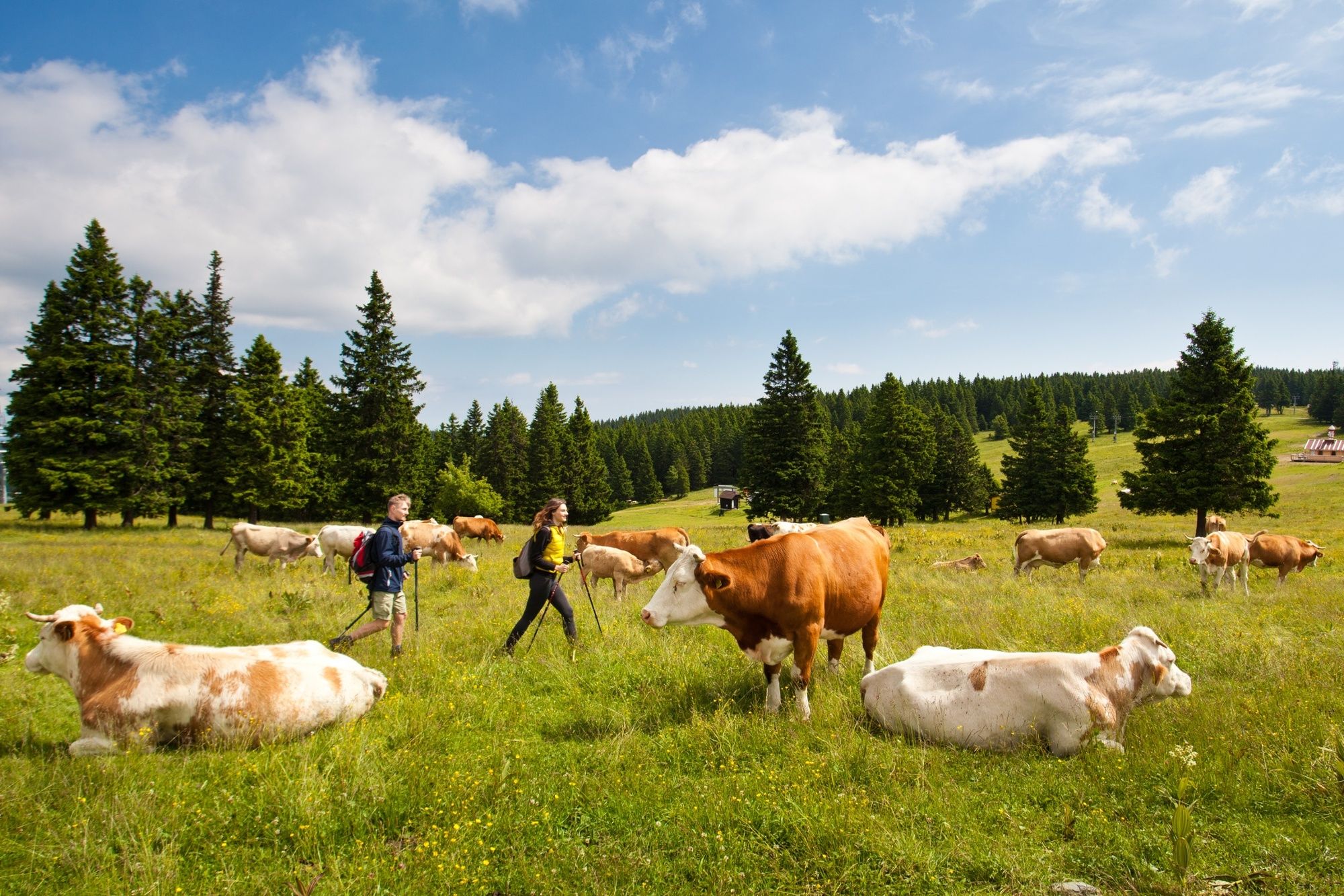
A medium-distance circular trail through one of the most beautiful mountains in Slovenia. The route is 26KM long and will take you around 4 hours (one-way) to complete. The whole trip will reward you with the beautiful forested landscapes of Slovenia, and the quiet peacefulness of the trees.
- Directions
-
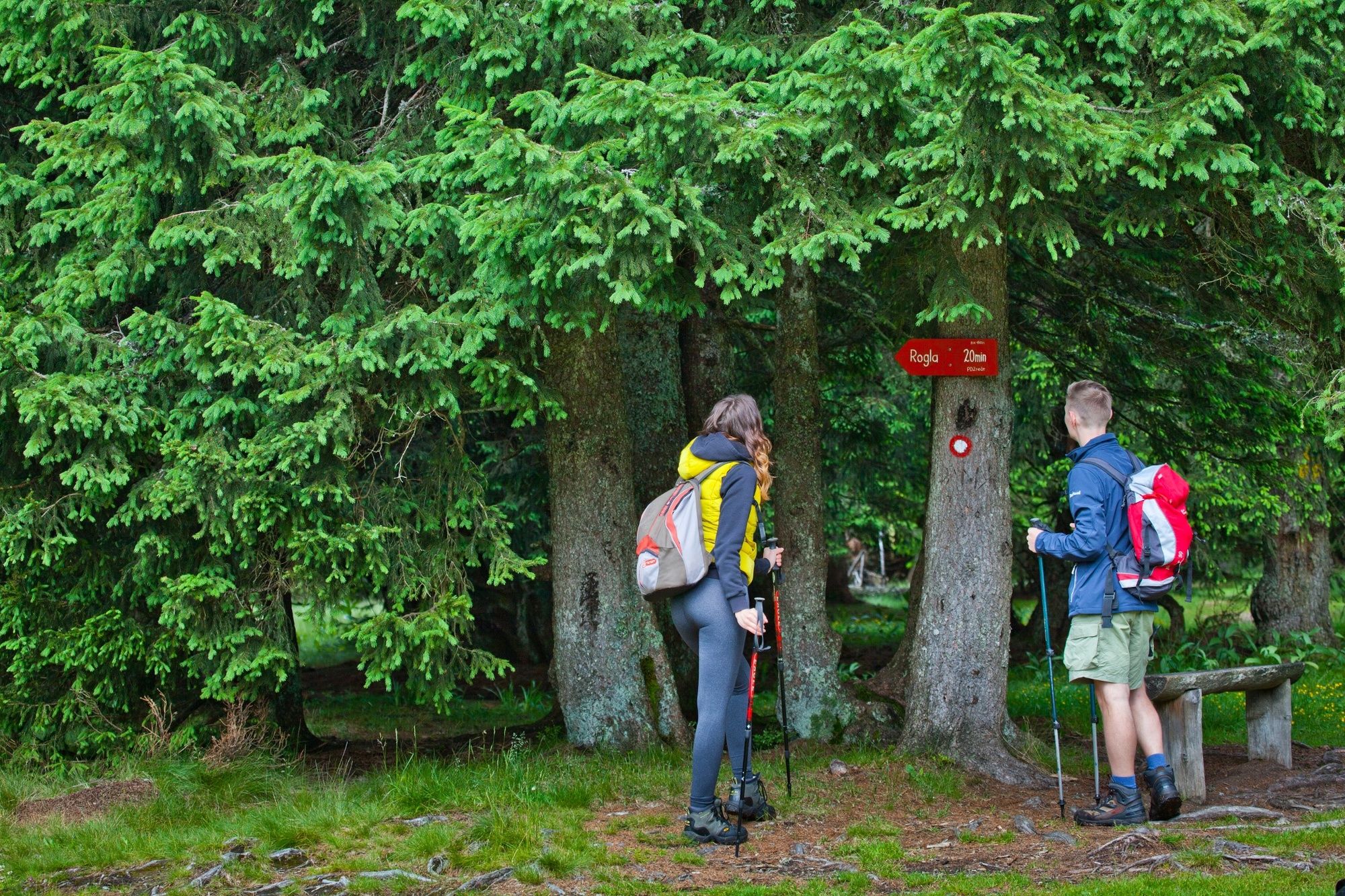
You can start your route at Zreče busstation and follow the signs.
Zreče Bus station - Church of St. Egidij – Bridge over Dravinja river – Črešnova – Gorenje pri Zrečah( 760 m) – Guesthouse Smogavc – Koroška vas na Pohorju - Planina na Pohorju – Koča na Jurgovem – Rogla viewing tower – KTC Rogla – naselje Nune – Resnik – Ošlakova kovačija – Boharina - Hotel Pod Roglo - Loška gora - Zreče
- Highest point
- 1,475 m
- Endpoint
-
Rogla (viewing tower)
- Height profile
-
 © outdooractive.com
 - Equipment
-
Hiking equipment (walking sticks, backpack, hiking shoes, rain jacket), map of the trail and ofcourse water and food for the way ahead.
- Safety instructions
-
This is a route for experiences hikers.
- Tips
-
A visit of POHORJE TREETOP WALKWAY will reward you with the view of Rogla and even a glimpse of the surrounding mountains, as seen by the birds.
- Additional information
-
It is recomended that you check the weather a few days before you leave for the hike, and if u wish to stay at the resort on Rogla it is advised that you make a reservation.
You can get maps and hiking guides at Tourist Information Centre Zreče.
- Directions
-
When coming from highway, you go to exit Slovenske Konjice, drive through city of Slovenske Konjice and then follow signs for Zreče.
- Public transportation
-
Public transport to Zreče Bus station.
- Parking
-
Parking place near the Busstation.
- Author
-
The tour Hiking Trail Zreče - Rogla is used by outdooractive.com provided.


General info
-
Südsteiermark
1135
-
Savinjska
37
-
Zreče
11