
- Brief description
- Difficulty
-
medium
- Rating
-
- Starting point
-
Žalec, Beer Fountain
- Route
-
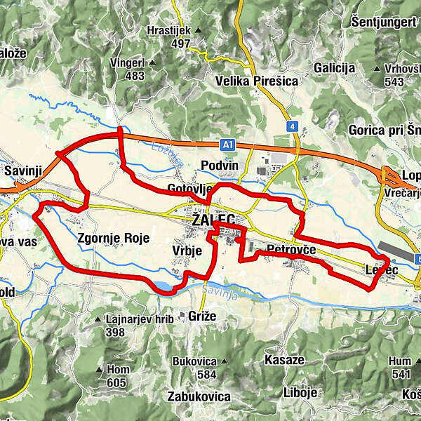
Sachsenfeld0.0 kmVrbje2.2 kmTelecope For Free2.9 kmŠešče pri Preboldu4.7 kmŠempeter v Savinjski dolini (271 m)8.3 kmPicerija Nekropolis8.9 kmSpodnje Grušovlje10.2 kmPodlog v Savinjski dolini13.4 kmGuttendorf15.2 kmŽupnijska cerkev sv. Jurija15.6 kmSachsenfeld15.9 kmPodvin16.7 kmLožnica pri Žalcu17.2 kmPetrovče (248 m)19.7 kmLevec22.6 kmŽupnijska cerkev Marijinega obiskanja25.7 kmPizza&Grill25.8 kmPetrovče (248 m)25.8 kmDobriša vas26.3 kmSveti Kancijan28.5 kmSachsenfeld28.9 kmZhifu29.0 kmCerkev Sv. Nikolaja29.1 km
- Best season
-
JanFebMarAprMayJunJulAugSepOctNovDec
- Description
-
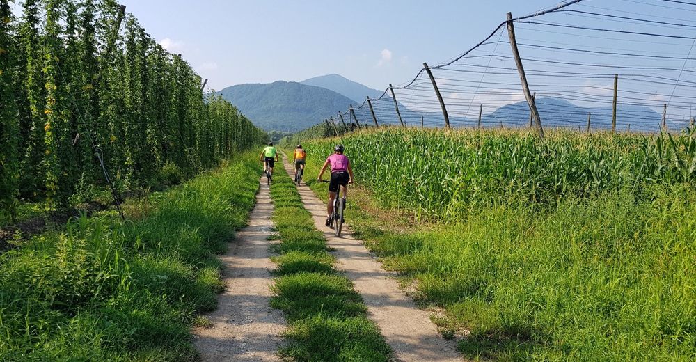
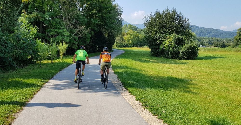
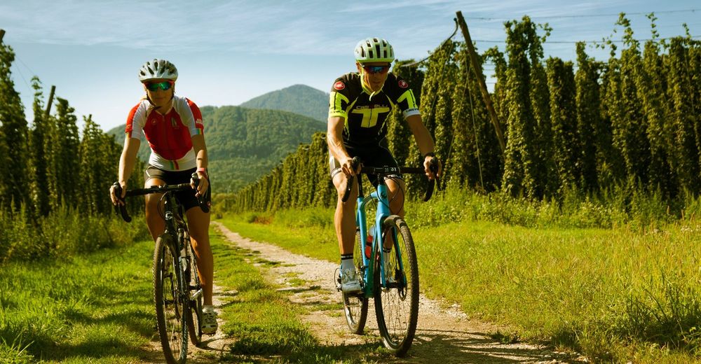
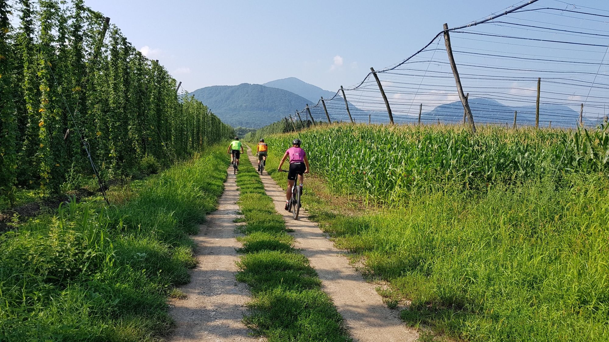
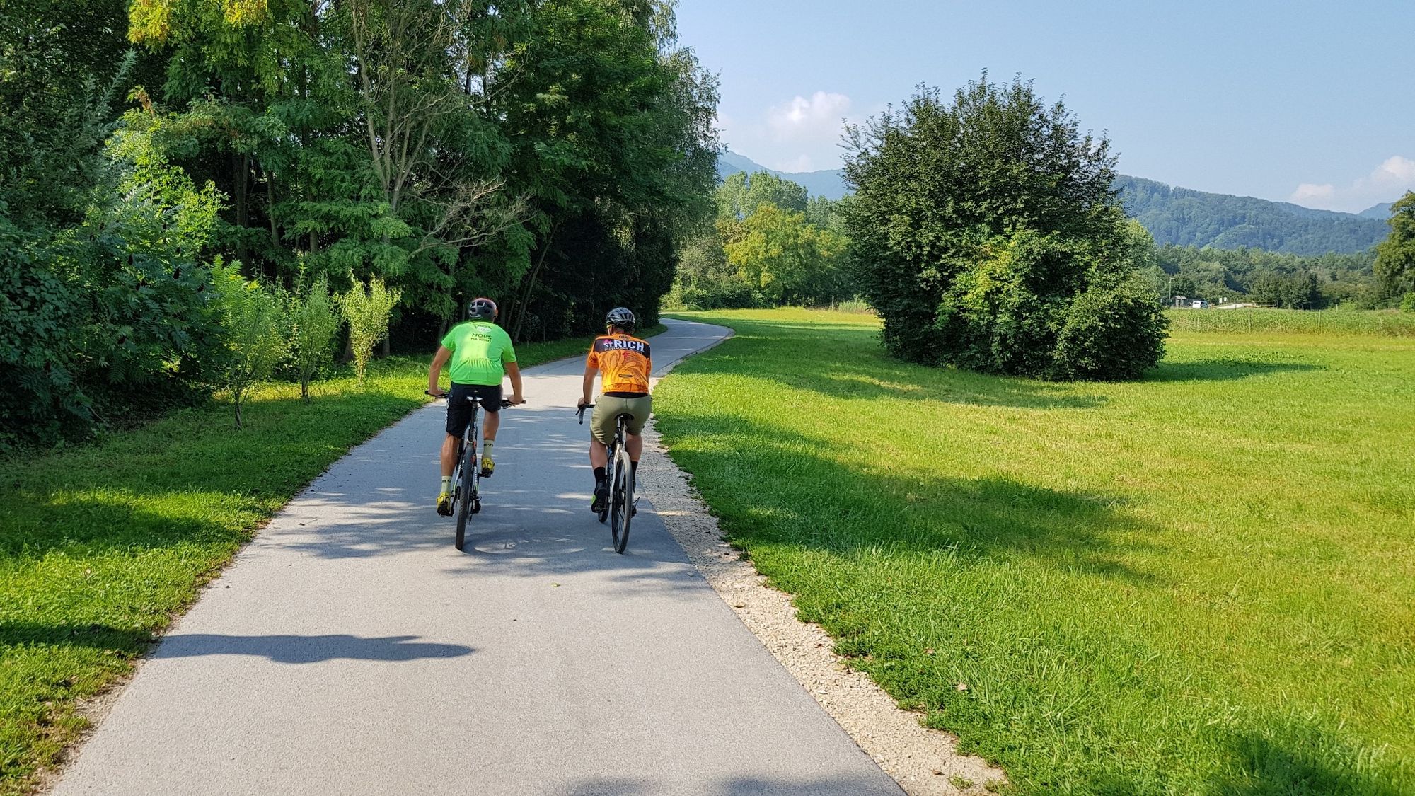
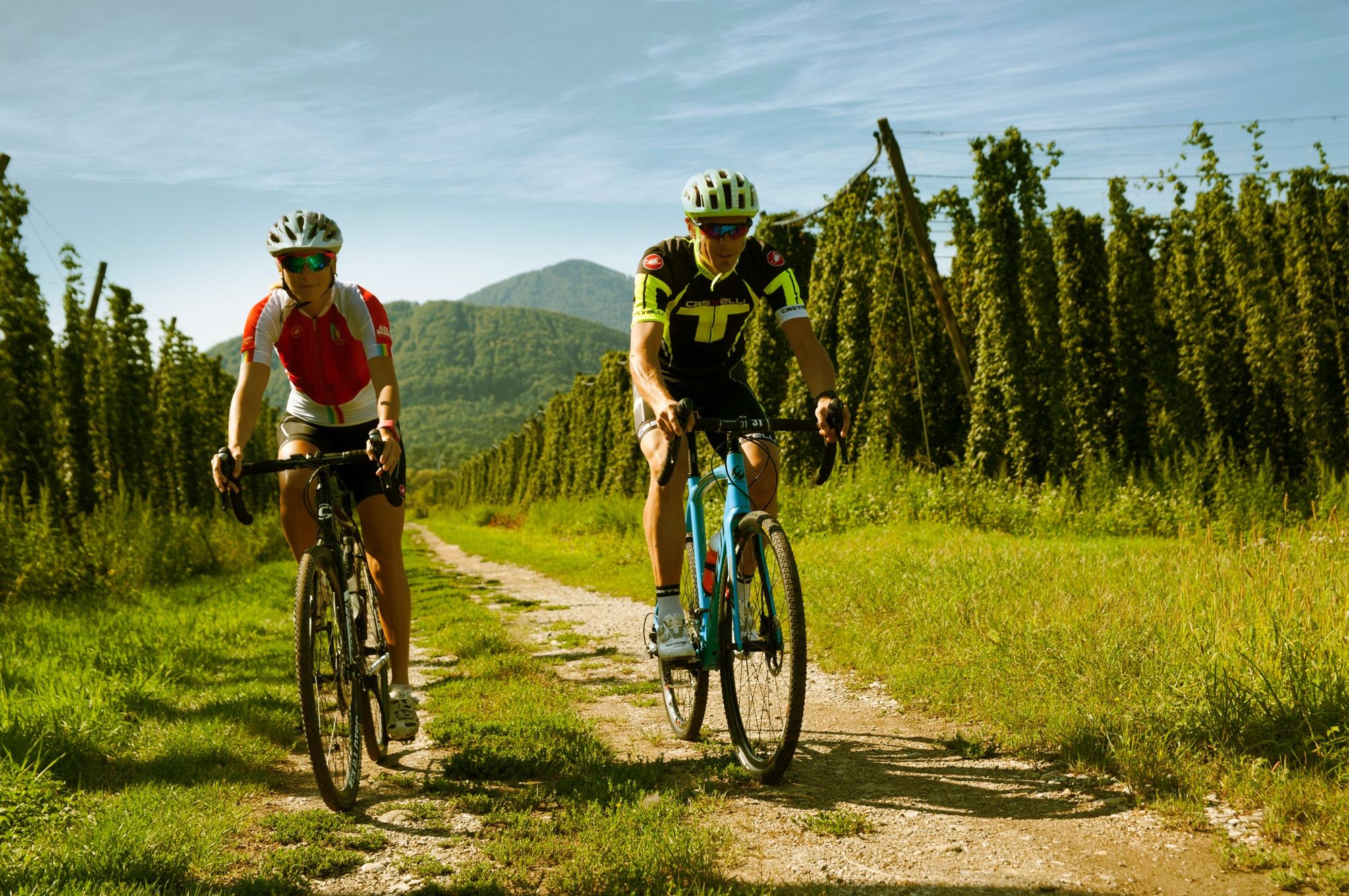
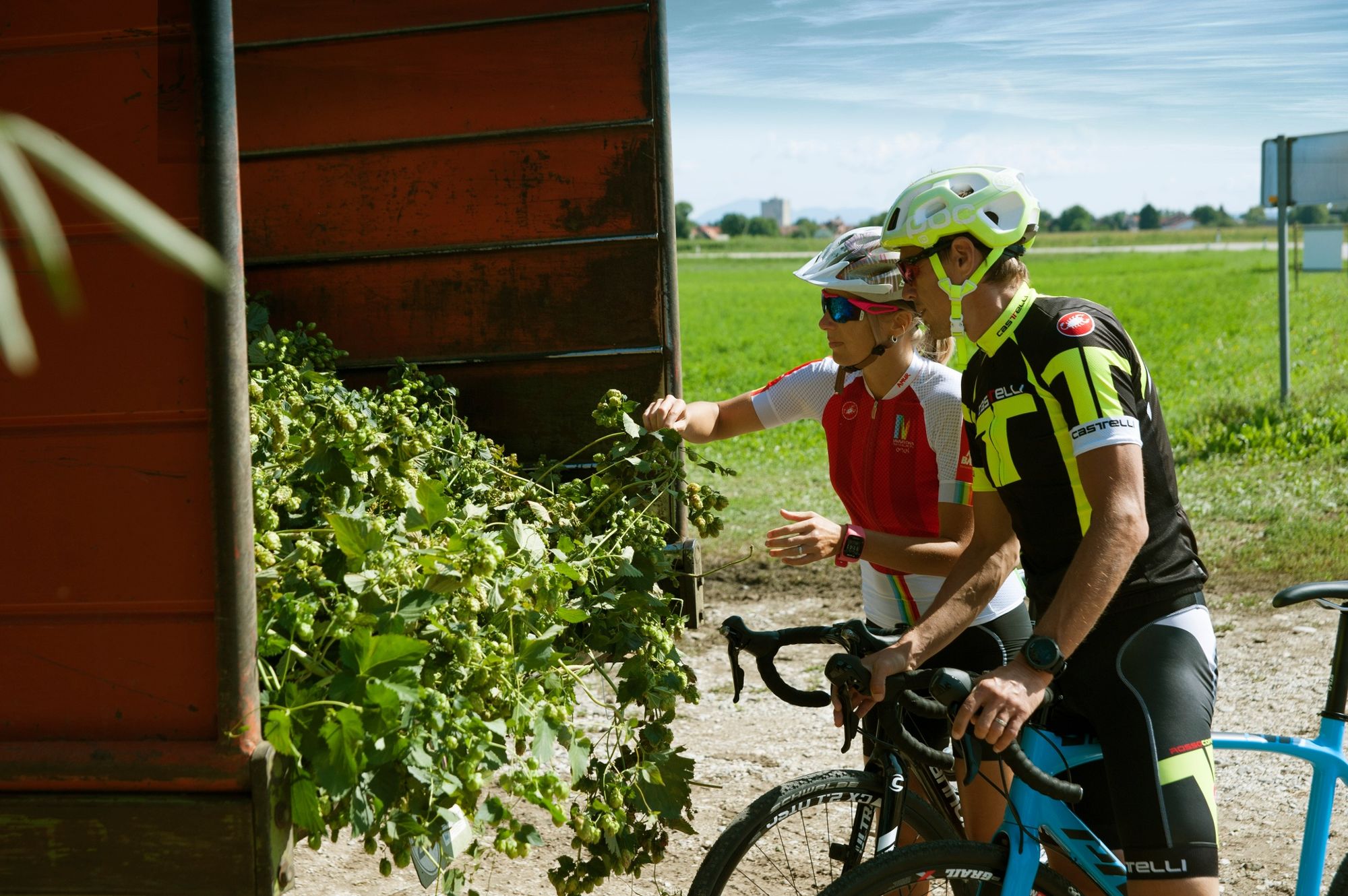
From the starting point in the centre of Žalec, in the park with the first beer fountain in the world, we cycle towards the Novo Celje mansion. We follow the hop fields to Petrovče and Levec, towns in the flatlands by the Savinja River. In Levec we turn towards Žalec again, taking a different route that takes us through the hop fields towards Šempeter, a town with the attractive Pekel Cave and the Roman Necropolis. After exploring the sights of Šempeter, we return to Žalec via a trail that leads right alongside the Savinja River. We reach the Vrbje pond with its rich flora and fauna. The cycling trail leads us back to the centre of Žalec.
- Highest point
- 277 m
- Endpoint
-
Žalec, Beer Fountain
- Height profile
-
 © outdooractive.com
 - Equipment
-
No special gear required
- Safety instructions
-
Helmet and caution on public roads
- Tips
-
Don't get carried away with beer ;)
- Additional information
-
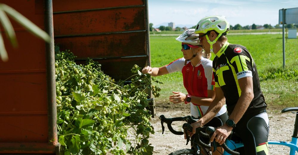
Taste the beer from the Beer Fountain
- Directions
-
Žalec lies right along the highway Ljubljana- Maribor
- Public transportation
-
You can reach Žalec with bus.
- Parking
-
Parking available, payable in city center

- Author
-
The tour Big hop circle is used by outdooractive.com provided.