
- Brief description
-
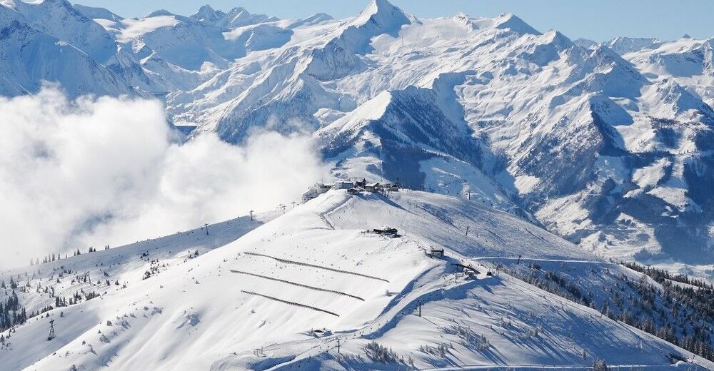
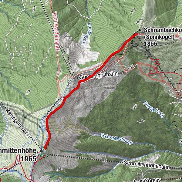
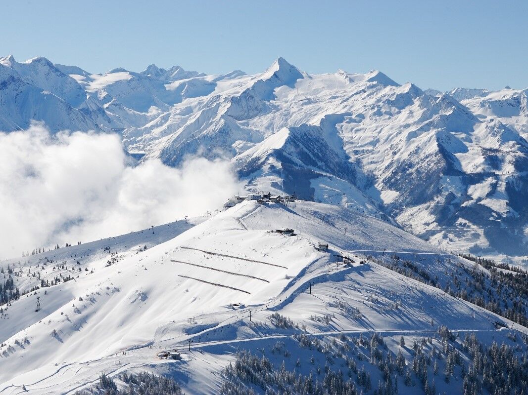
The popular winter hiking trail from the trassXpress mountain station over the Schmittenhöhe summit to the Sonnkogel.
- Difficulty
-
medium
- Rating
-
- Starting point
-
Mountain Restaurant Sonnkogel
- Route
-
Hochzeller-Alm0.3 kmSonnkogel Alm2.1 km
- Best season
-
AugSepOctNovDecJanFebMarAprMayJunJul
- Description
-
- Directions
-
The popular winter hiking trail leads over the Schmittenhöhe summit to the Sonnkogel. After arriving at the trassXpress mountain station, the green signs with number 28 will guide you along the way towards Sonnkogel. You will also pass some sculptures from the exhibition "Art on the Mountain". There are also always sunny resting places along the way. When you arrive at the Sonnkogel, you can enjoy the unique panorama on the viewing platform. Then hike back on the same route to the trassXpress mountain station or back by Sonnkogel and Sonnalmbahn.
- Highest point
- 1,960 m
- Endpoint
-
Schmittenhöhe
- Height profile
-

- Public transportation
-
by bus 71 to the Schmitten valley station
- Parking
-
free parking possibility at Schmitten valley station
-

-
AuthorThe tour Winter Hike High Altitude Promenade is used by outdooractive.com provided.